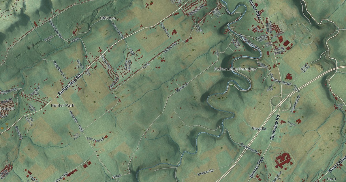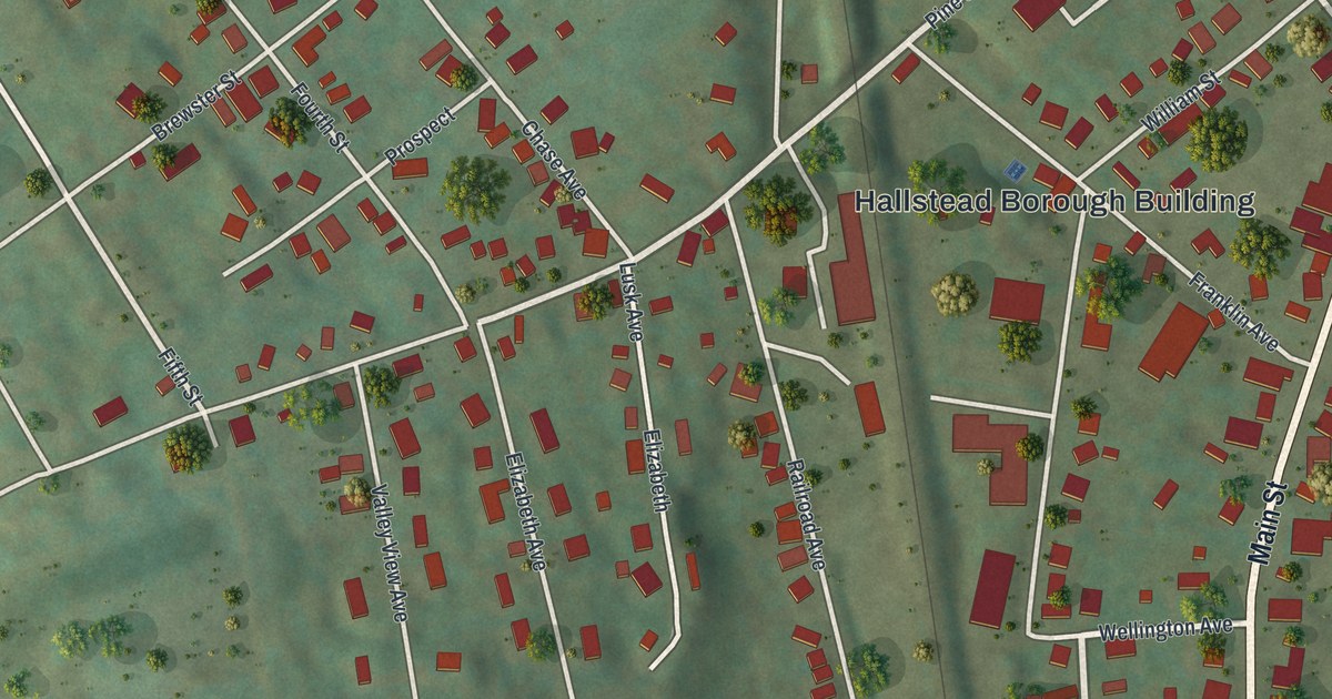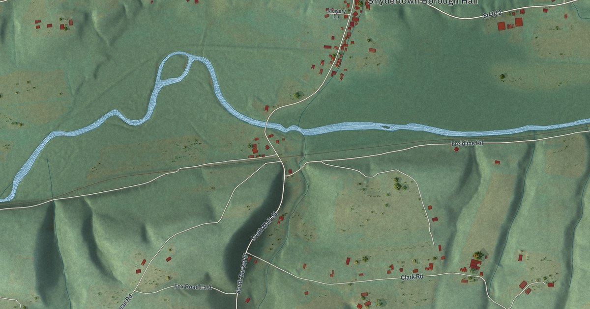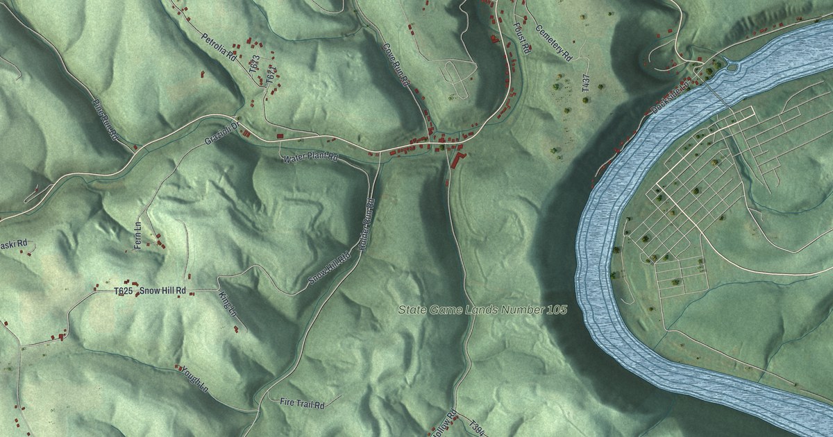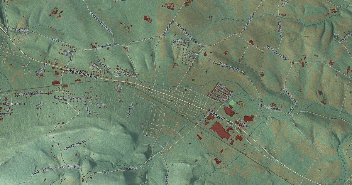
If you grew up in Heidelberg, this print gives you a way to keep home close. It's a modern aerial view of Heidelberg in Berks County, Pennsylvania, built from modern data with a vintage feel. Green hills rise around the roads, with red buildings and blue streams spread across the view.
Heidelberg roads and Conrad Weiser's home
On this map you'll find Penn Avenue, West Penn Avenue, Newmanstown Road, Heidelberg Road, Charming Forge, Ryeland, Furnace Street, Bethany Road, Big Spring Road, Eagles Peak Road, Charming Forge Road, and more. Each red shape is a building, so zoom in on the preview and look for yours.
The Conrad Weiser historical marker is a place to start with Heidelberg's story. It stands at the Weiser Homestead, east of Womelsdorf. It describes his work as an interpreter and treaty maker from 1732 to 1760. He lived and died on the property, and he's buried there. The marker also notes that the grounds became a state park in his memory.
Heidelberg's hills and Ryeland on your wall
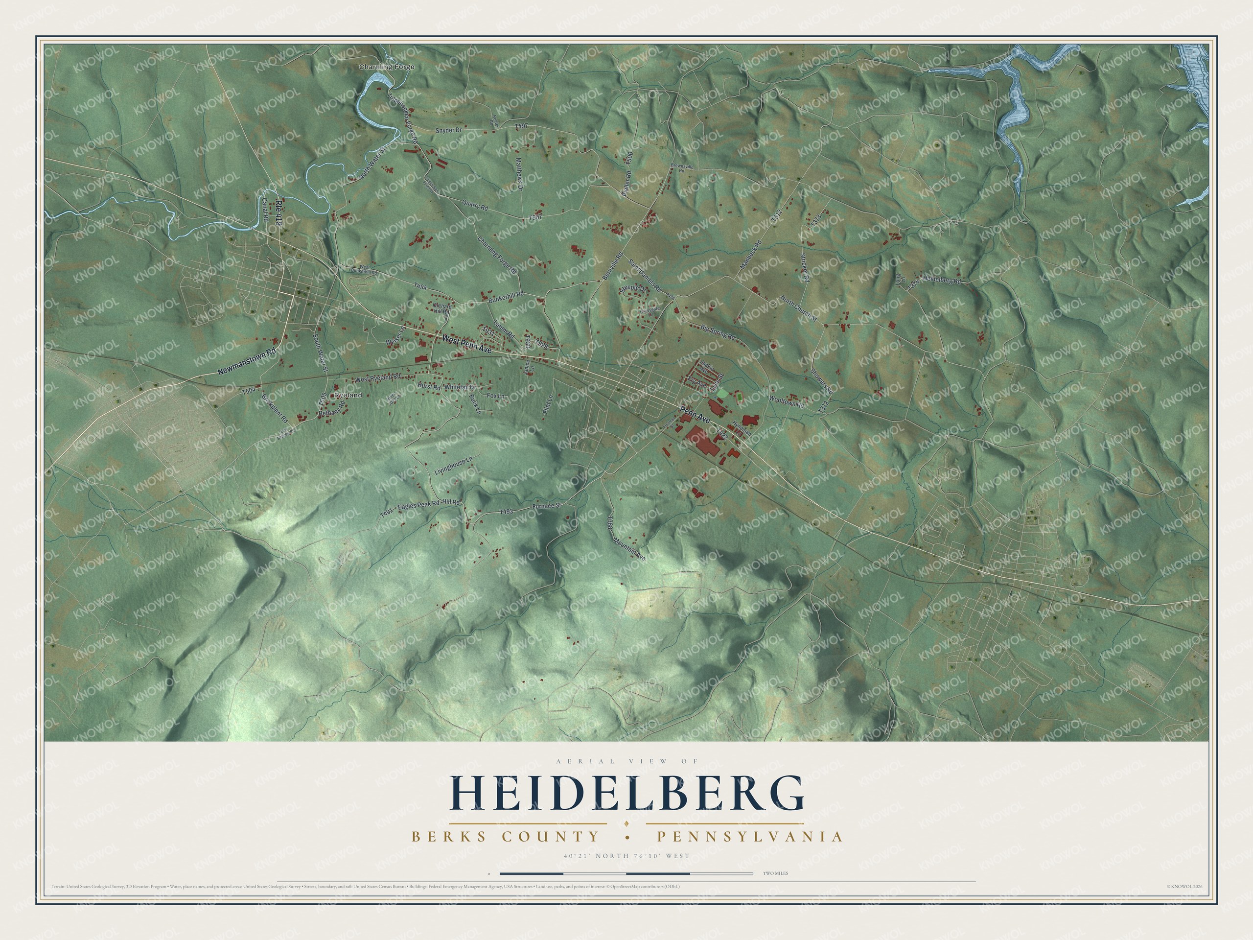
Created by KNOWOL in 2026, the print pairs shaded green hills with blue water, red buildings and a cream border. The title panel reads AERIAL VIEW OF HEIDELBERG, BERKS COUNTY • PENNSYLVANIA, with 40°21' NORTH 76°10' WEST below.
Hang it in a living room, office or entryway. It's a thoughtful gift for someone with family near Ryeland or roots along West Penn Avenue. Open the preview to look for the roads and buildings you know. See sizes and frames for the Heidelberg, Berks County map.