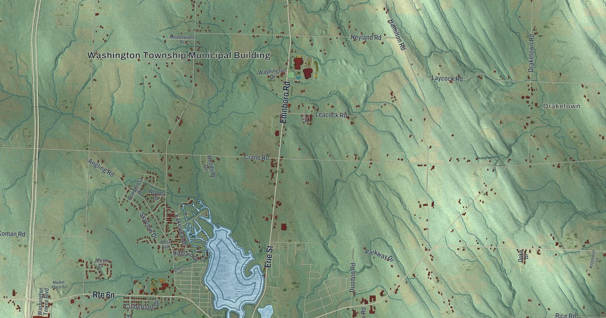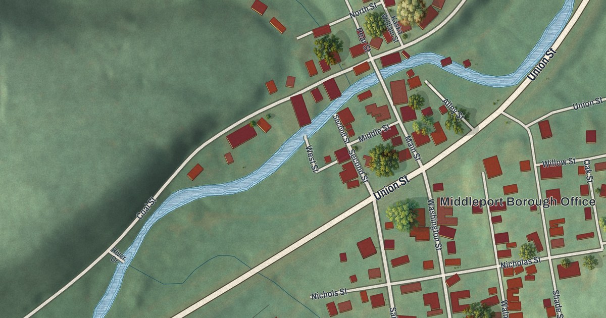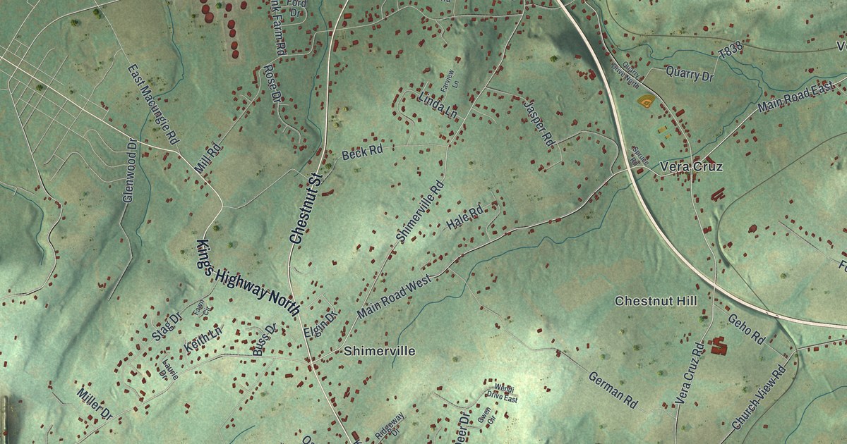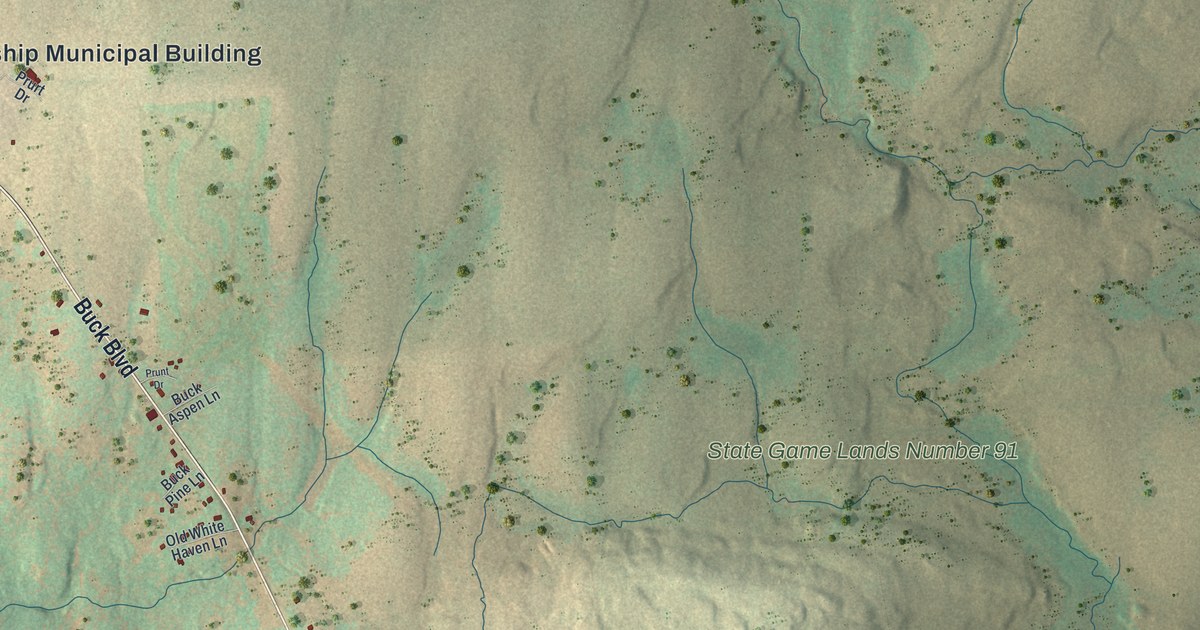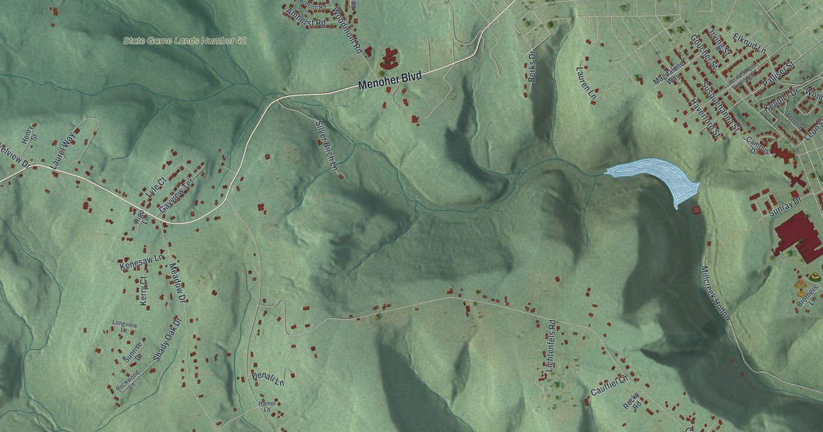
If you grew up in Upper Yoder, look for your street among these green hills. This modern aerial view of Upper Yoder in Cambria County, Pennsylvania pairs modern data with a vintage feel. Red buildings gather around Elim, while wooded ridges fill much of the print. Pale roads link the close blocks of homes with houses spread across the hills.
Elim, Menoher Boulevard and the hills
On this map you'll find Menoher Boulevard, Elim, Goucher Street, Harshberger Road, Ferndale Avenue, Ligonier Pike, Coon Ridge Road, Woodmont Road, Keafer Road, Elim Street, State Game Lands Number 42, and more. Each red shape is a building, so zoom in on the preview and look for yours.
Upper Yoder's borders have changed since its early days. The 1907 History of Cambria County, Pennsylvania dates its start to September 1, 1879. In 1882, a court decree took Grubbtown from Upper Yoder. Grubbtown then joined Johnstown on December 18, 1889. The map brings you back to today's landscape around Elim. Its close rows of red buildings give way to scattered homes among the ridges. You can pick out both patterns in this one view.
An Upper Yoder view for home
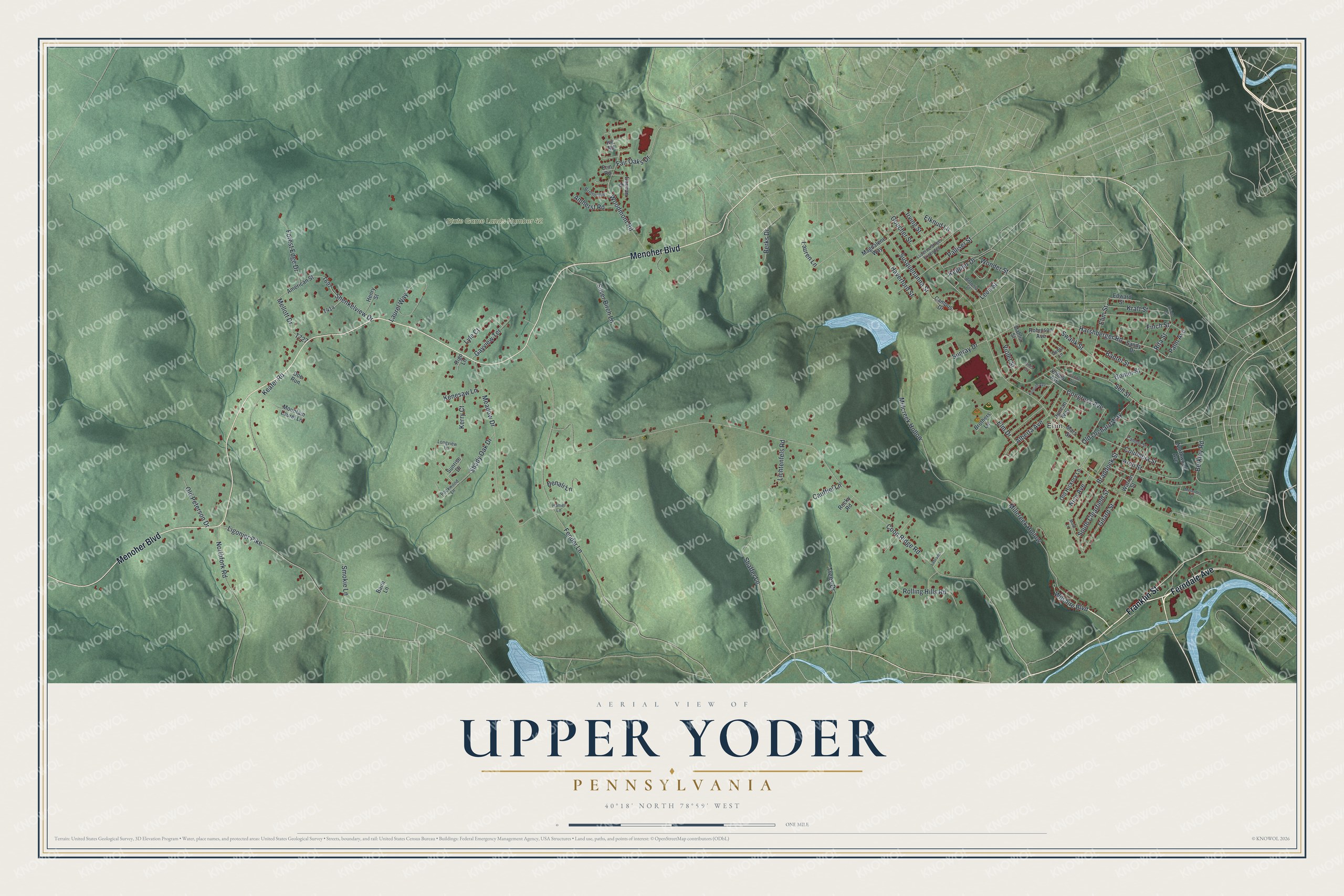
Created by KNOWOL in 2026, the print uses soft greens for the hills, blue water and red building shapes. A cream border surrounds the view. The title panel reads AERIAL VIEW OF, UPPER YODER, PENNSYLVANIA, with 40°18' NORTH 78°59' WEST below.
It's a good fit for a living room, office or entryway. Give it to someone with family in Elim, or someone who moved away from Upper Yoder. Open the preview and look for the street you'd want to keep close. See sizes and frames for the Upper Yoder map.