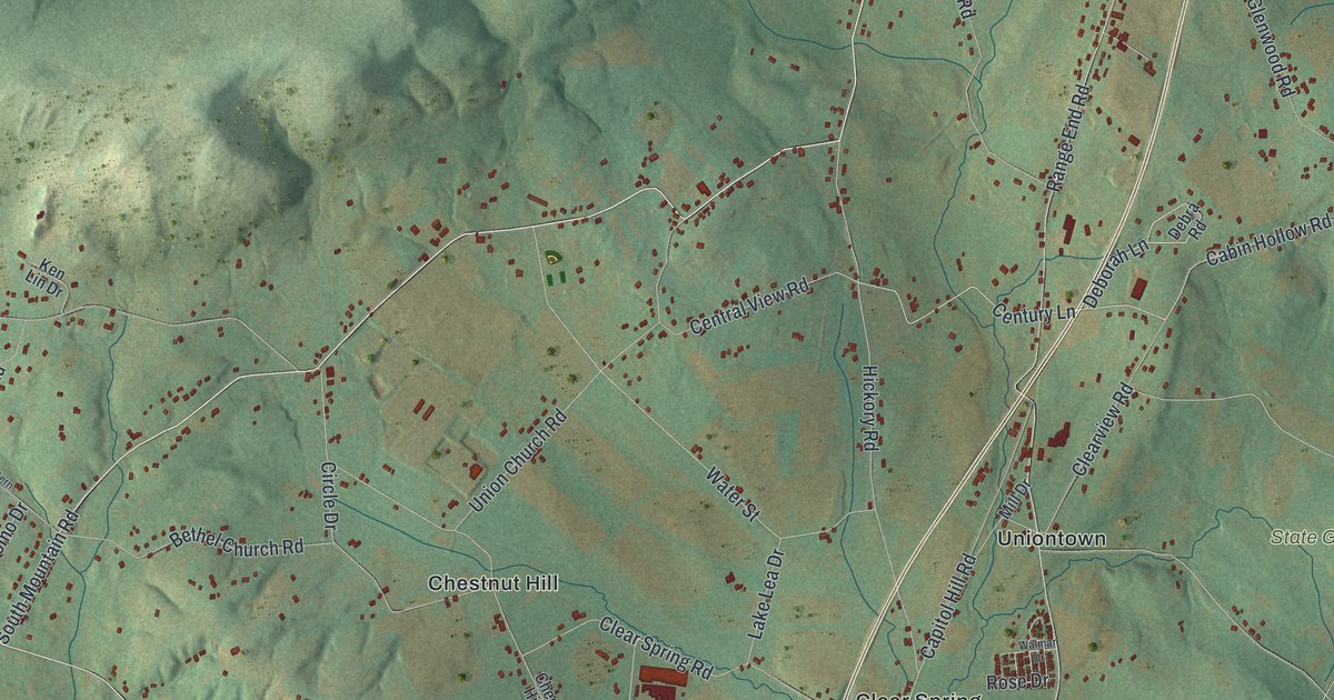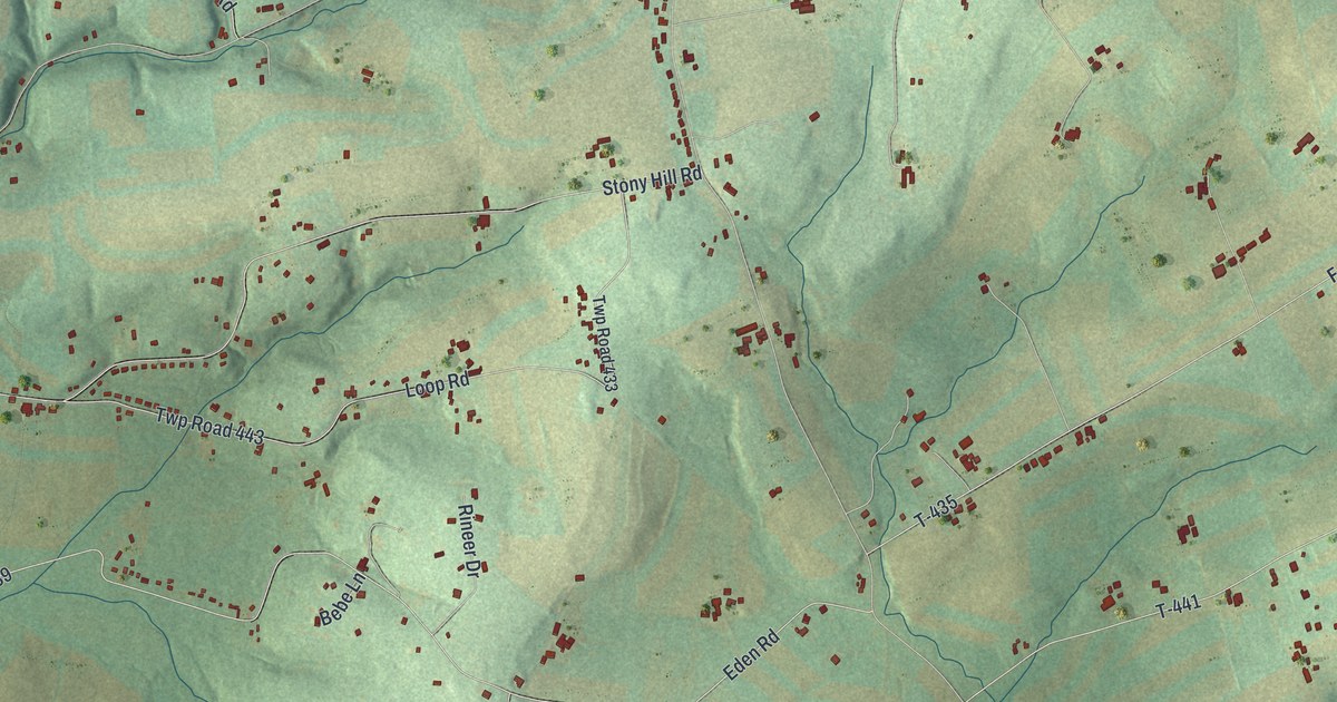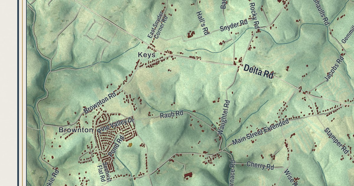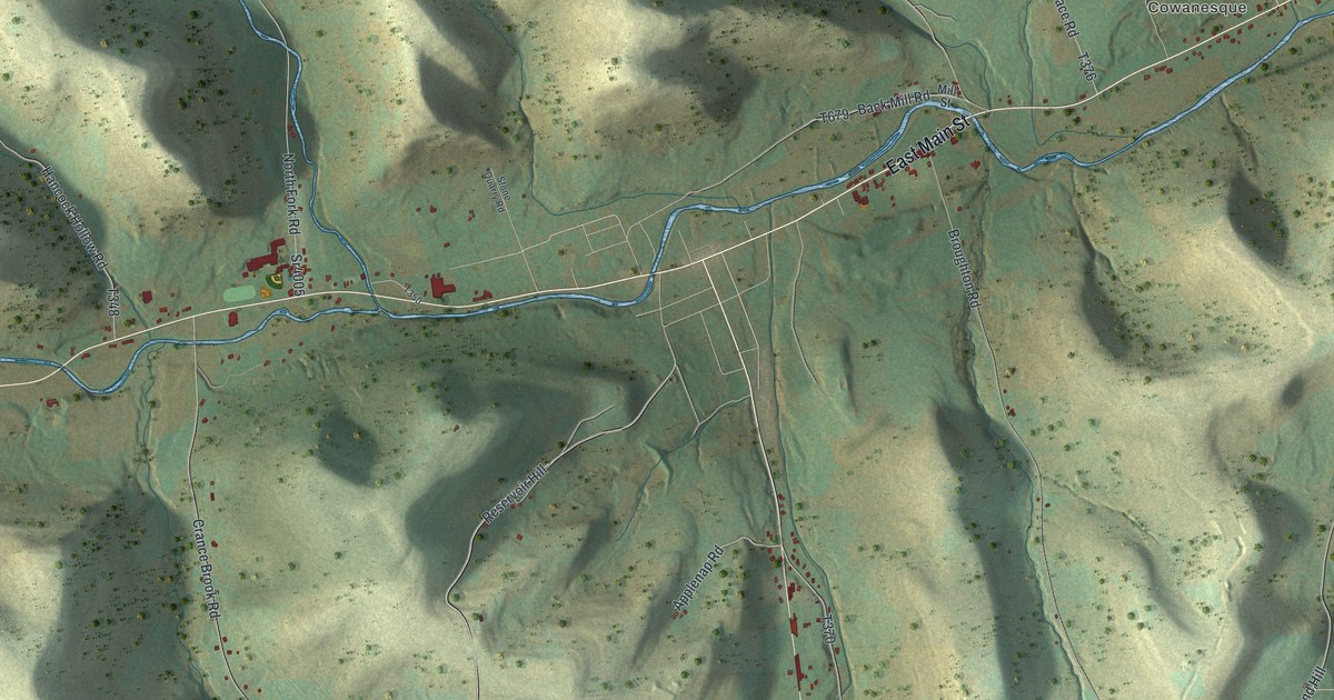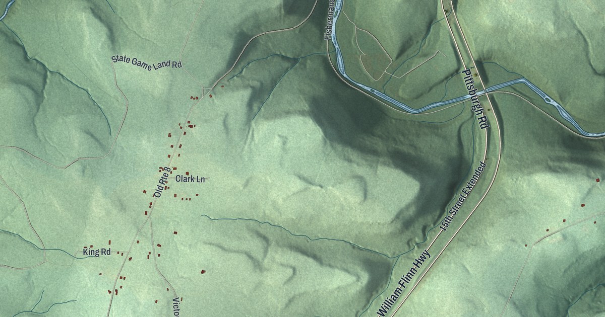
If you grew up in Victory or have family here, look for your road. This modern aerial view of Victory in Venango County, Pennsylvania uses modern data with a vintage feel. Green hills fill the print, with blue streams and small red buildings. Pearl and Five Points stand out among the winding roads.
Pearl and Pittsburgh Road
On this map you'll find Pittsburgh Road, Pearl, Five Points, Victory Road, William Flinn Highway, Bullion Road, Twin Oaks Road, Hines Road, Hovis Road, Slatertown Road, Dennison Run Road, Clear Creek, and more. Each red shape is a building, so zoom in on the preview and look for yours.
Pearl has a story of rebuilding. The 1890 History of Venango County records a hotel built by James Major at Pearl post office. It stood on the old Pittsburgh road early in the 1800s. The hotel burned and was rebuilt three times. Joseph Brunton later kept it. Look for Pearl on the print to connect that story with a familiar place. Its name sits among scattered red buildings and the green hills.
Keep Pearl and Five Points Close
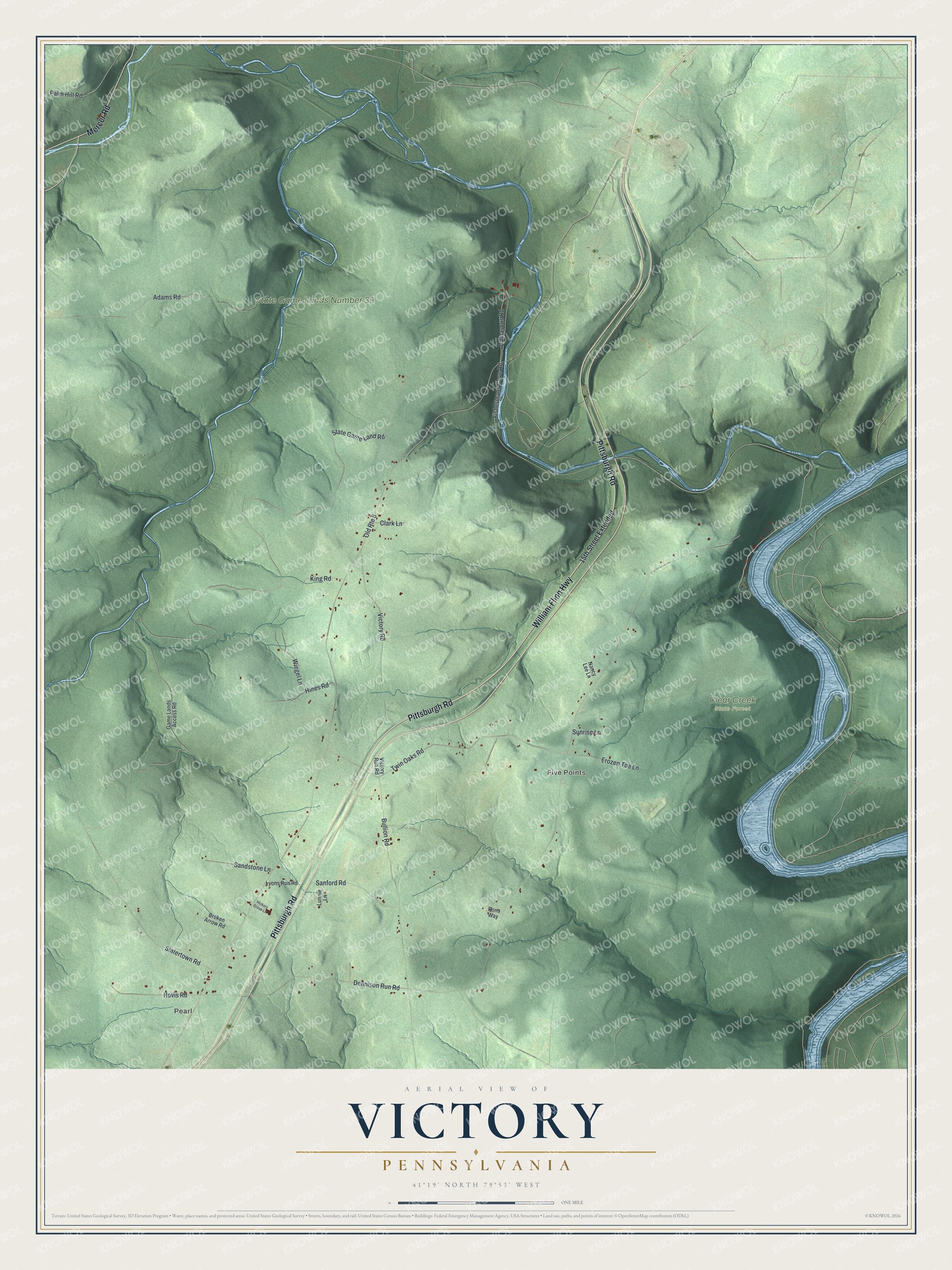
Created by KNOWOL in 2026, the print pairs shaded green hills with blue water and red building shapes. A cream border surrounds the view. The title panel reads AERIAL VIEW OF VICTORY, PENNSYLVANIA, with 41°19' NORTH 79°53' WEST below.
It's a natural fit for a living room, office, or entryway. Give it to someone with family in Pearl, or someone who moved away from Victory. Open the preview and look for the roads that bring you back home. See sizes and frames for the Victory map.