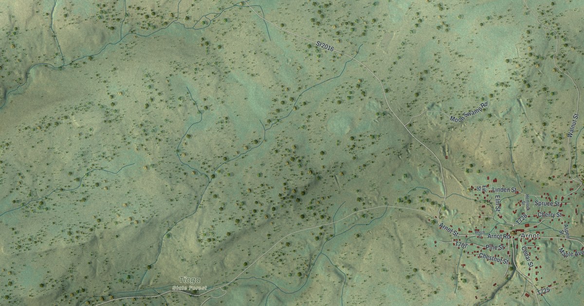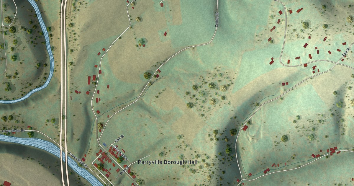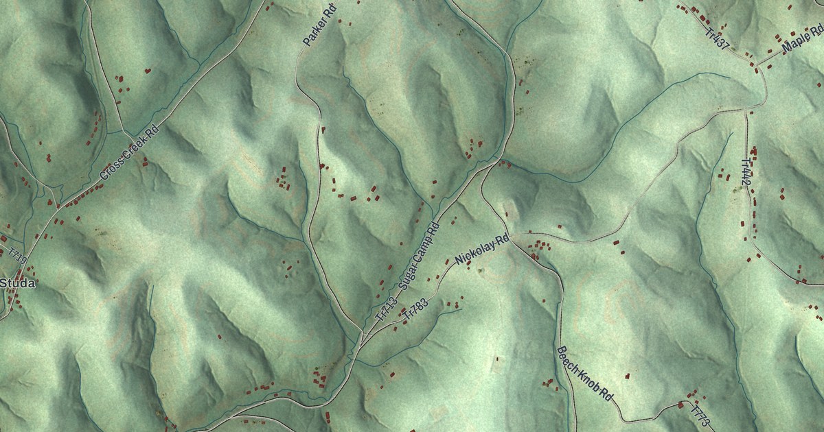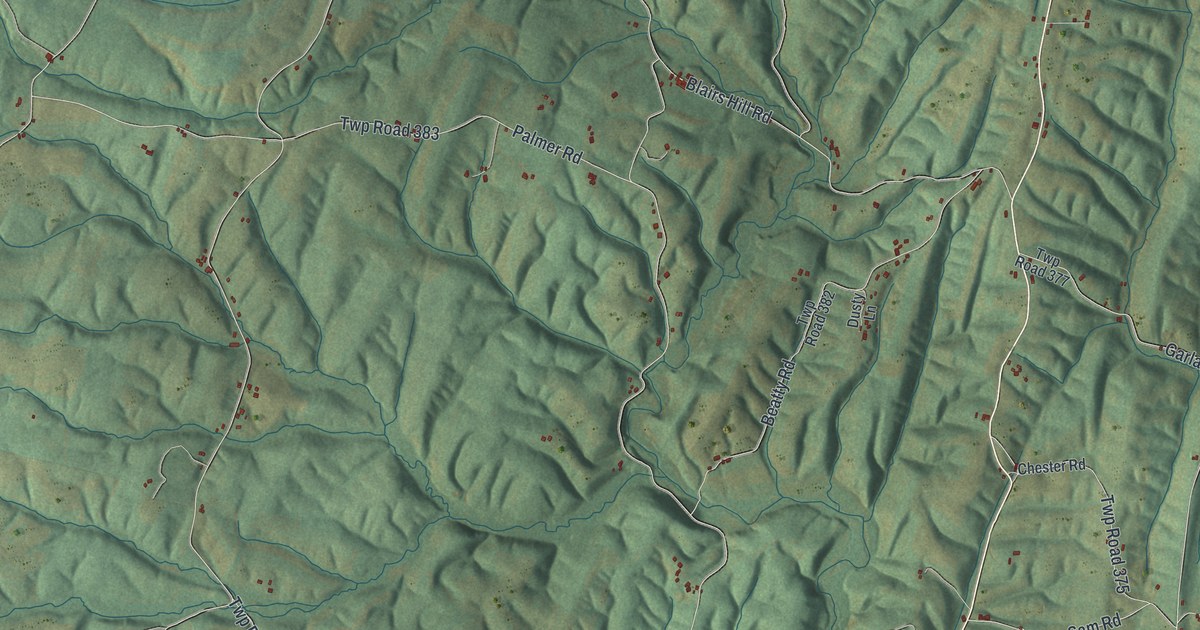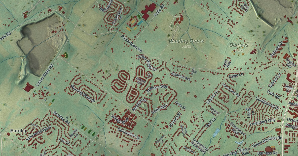
If you grew up off Easton Road or live near Barness Park, here's your home seen from above. It's a new aerial view of Warrington in Bucks County, Pennsylvania, made from modern data and given a vintage look. Blue creeks wind through soft green hills. Thousands of red buildings fill the land, with parks and farms tucked in between.
Holbert Racing on Easton Road
On this map you'll find Easton Road, Limekiln Pike, Bristol Road, West Street Road, the Warrington Township Municipal Building, Barness Park, Turk Park, Winding Brook Farm, Eureka, Neshaminy, Palomino Farms, Pickertown Road, Folly Road, Upper State Road, Lower State Road, and more. Each red shape is a building, so zoom in on the preview and look for yours.
Warrington has a real place in racing history. A state historical marker stands at 1409 Easton Road. It says the Holbert family ran one of the most successful teams in sports car racing history there, from 1953 to 1988. Bob Holbert ran one of the first Porsche dealerships in the U.S. He began racing in 1953. He drove Porsches to four SCCA National Championships. Then he drove Shelby Cobras to the 1963 U.S. Road Racing Championship. His son Al was a five-time IMSA GT Champion, with a record 49 series wins. Al also won the 24 Hours of Le Mans three times, in Porsche 956 and 962 cars. The marker went up in 2021. Easton Road is printed on this map, so you can find the road where the Holberts built their team.
How Warrington got its name in 1734
The township is older than the country. The 1876 history of Bucks County tells how it began. At the October court session of 1734, the court ordered that the land above Warminster "shall be a township, and shall be called Warrington." It was probably named after Warrington in Lancashire, England. When Holme's map was published, the land was "an unbroken wilderness," and none of its four owners lived there. In 1735, Andrew Long bought 400 acres along the Neshaminy. He and his wife, Mary, had come from Ireland. They built a log house on the Bristol road. The family's later homestead there went up between 1760 and 1765. One room was used as a hospital during the Revolution. In 1876, the Longs still lived on that same land. Bristol Road is printed on this map. So is the name Neshaminy, which the 1876 history also gives to the old post office at Warrington Square.
Keep Easton Road and Barness Park close
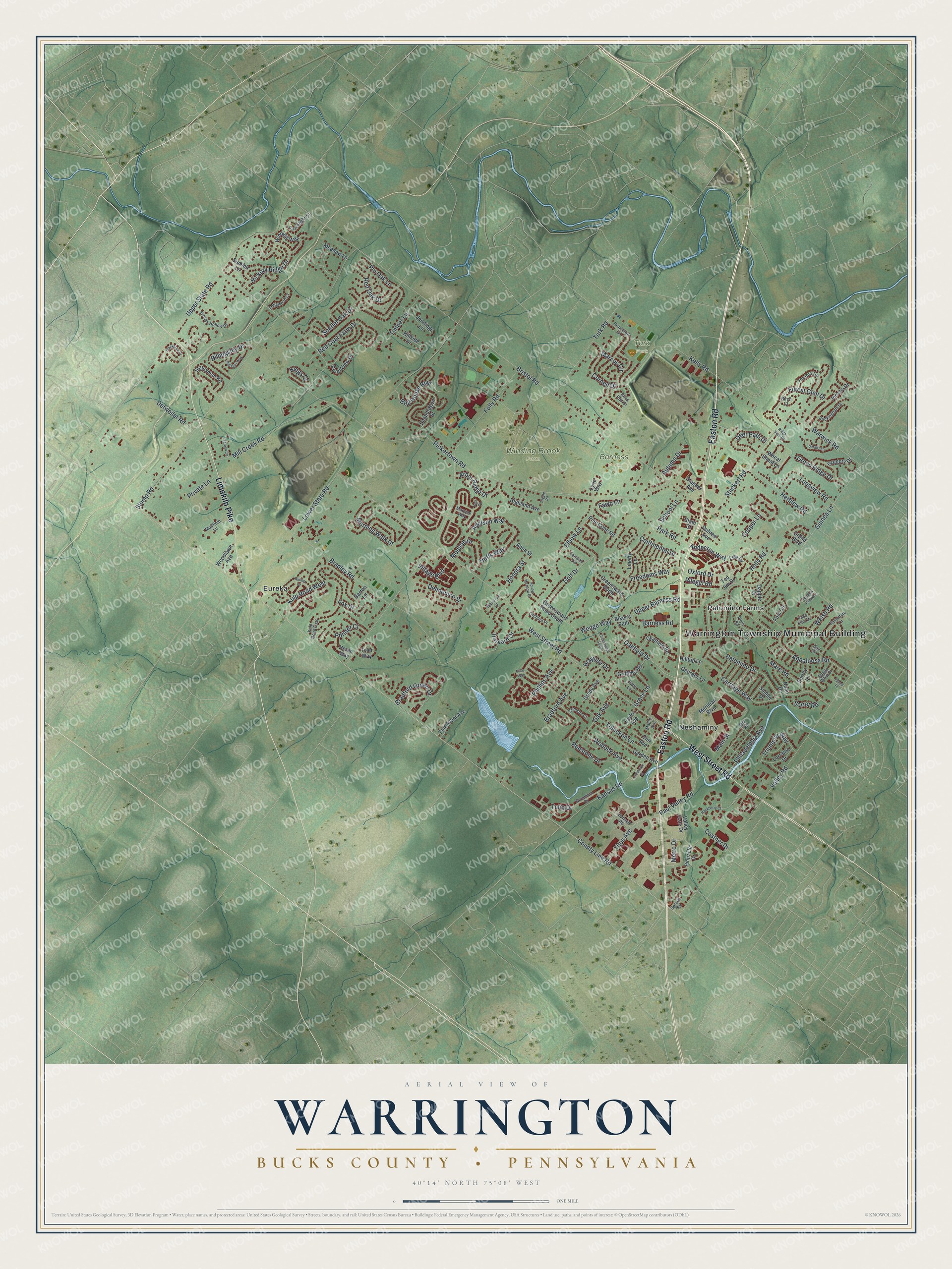
Created by KNOWOL in 2026, this print shows Warrington's green hills, blue creeks and red buildings in soft, vintage colors. The title panel reads "Aerial View of Warrington," with "Bucks County • Pennsylvania" beneath it and the coordinates 40°14' North 75°08' West.
It fits a living room, a home office or the hallway by the front door. It's a kind gift for someone who knows Barness Park or grew up near Easton Road, and for anyone from Warrington who has moved away. Open the preview and look for the street you know best. See sizes and frames for the Warrington, Bucks County map.