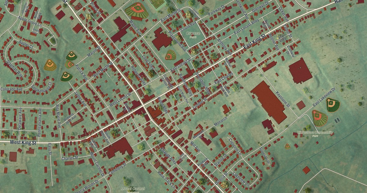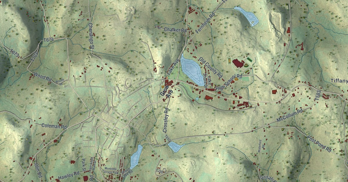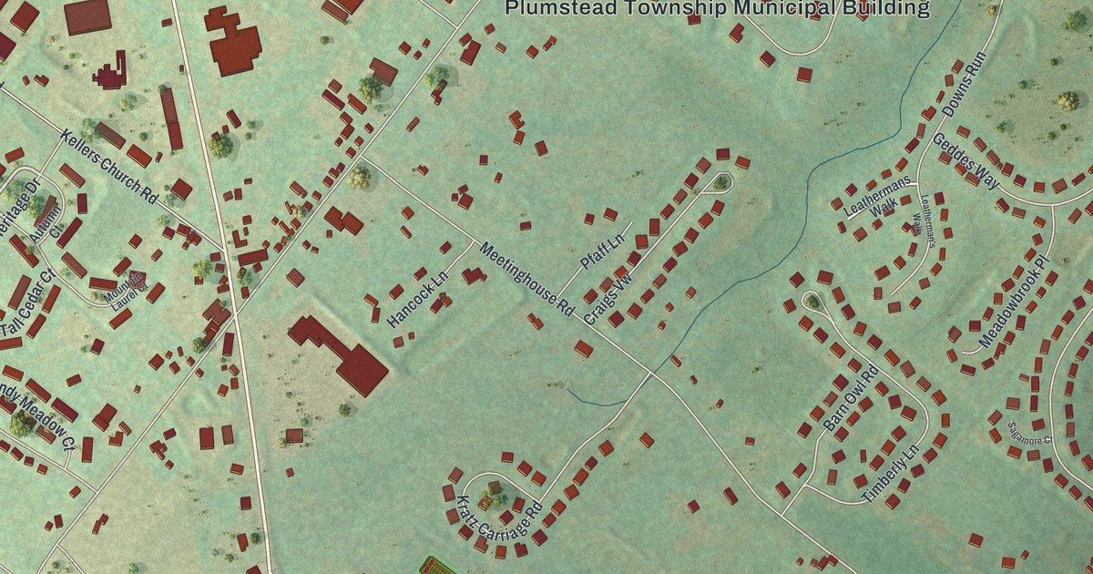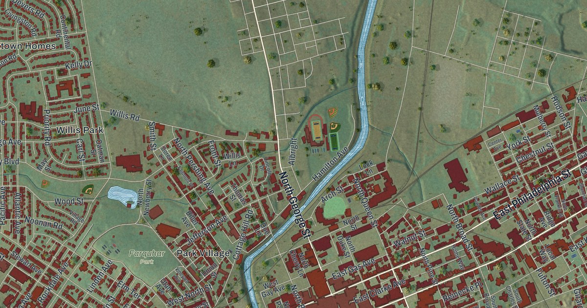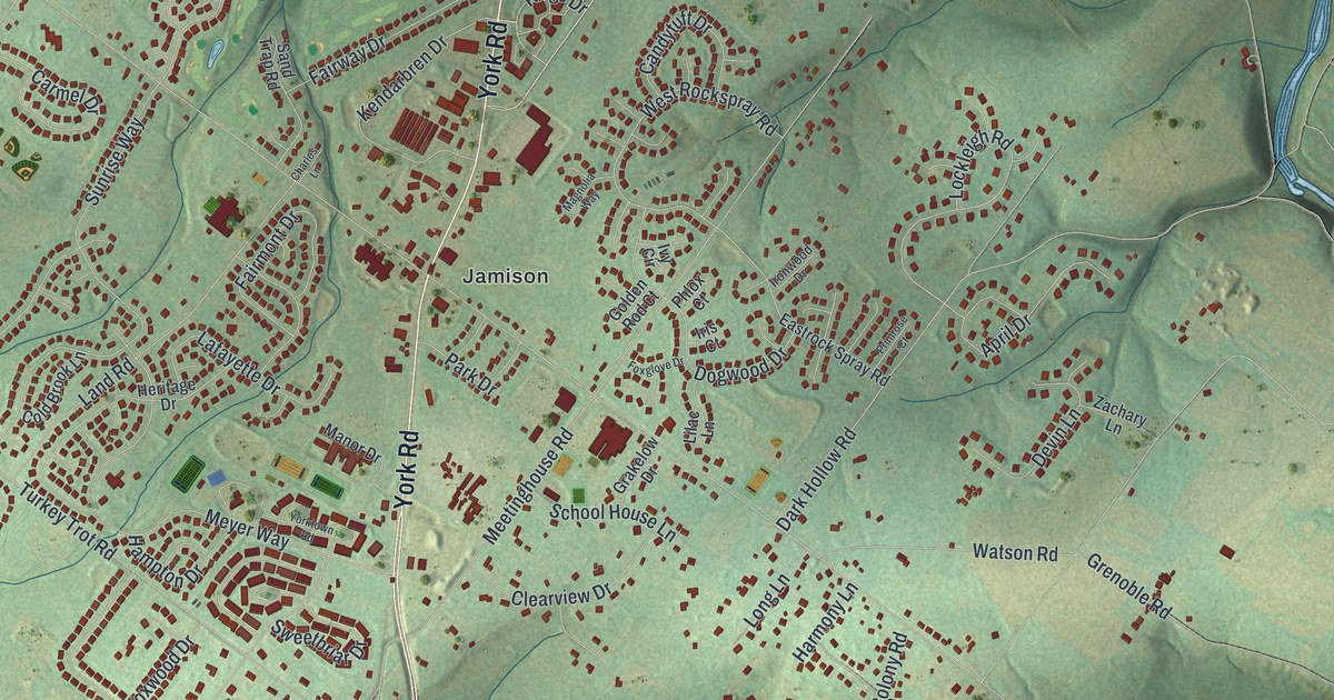
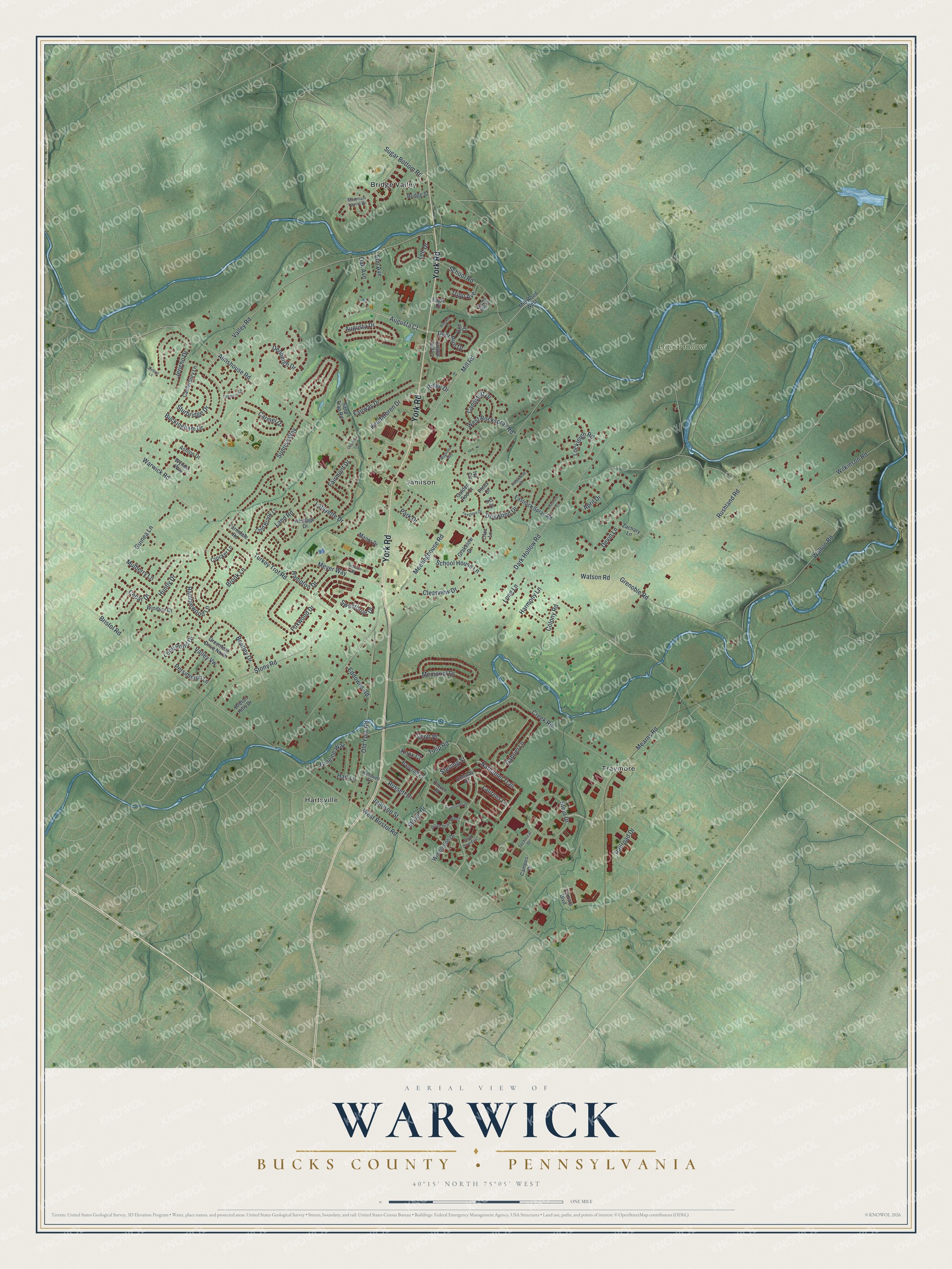
This beautifully detailed map of Warwick, Bucks County, Pennsylvania was created in 2026 using aerial imagery combined with modern topographical, census, street and landmark data. It’s a one-of-a-kind view of Warwick that combines accurate data with a vintage aesthetic. The map shows every building in its true location, many of the roads carry their names, and the shaded topographic relief shows the shape of the land.
Explore an aerial view of Warwick, Bucks County, Pennsylvania
On the map you’ll find Dark Hollow, Bridge Valley, Hartsville, Jamison, and Traymore, along with York Road, Tulip Road, Nathaniel Trail, Russett Drive, Ridge Drive, Sterling Street, Mill Road, and more. If you look closely you can even find your house accurately drawn in its correct location. Zoom in on the preview to look for yours.
Did you know this piece of Warwick, Bucks County, Pennsylvania history?
From the 1876 History of Bucks County, Pennsylvania: "At the sale Jeremiah Langhorne bought two thousand acres, of which seven hundred lay in Warwick township, including all that part of the borough of Doylestown east of Court street."
Take a closer look at the Warwick, Bucks County map
Street and place names on the Warwick, Bucks County, Pennsylvania map
These names are printed on the map of Warwick, Bucks County, Pennsylvania.
Places: Dark Hollow, Bridge Valley, Hartsville, Jamison and Traymore.
Streets and roads: York Road, Tulip Road, Nathaniel Trail, Russett Drive, Ridge Drive, Sterling Street, Mill Road, Deer Run Drive, Lee Drive, Almshouse Road, Walton Road, West Bristol Road.
More street names, A to Z
April Drive, Ashton Drive, Augusta Court, Augusta Drive, Bancroft Place, Bentley Drive, Breton Hills Drive, Bridge Street, Bristol Road, Brocket Court, Brook Lane, Buckingham Drive, Camars Boulevard, Campus Drive, Candytuft Drive, Canterbury Lane, Carmel Drive, Cedar Drive, Chapman Circle, Charles Lane, Clearview Drive, Clover Place, Cold Brook Lane, Colony Road, Conway Court, Creek Road, Crocker Lane, Crossroads Drive, Dark Hollow Road, Denbeigh Drive, Devin Lane, Doe Drive, Dogwood Drive, Eagle Court, Eastrock Spray Road, Eddowes Road, Elm Avenue, Fairmont Drive, Fairway Drive, Fallow Hill Lane, Farmdale Road, Foxglove Drive, Foxwood Drive, Gabriel Lane, Golden Rod Court, Graeme Way, Grakelow Drive, Greenleaf Drive North, Grenoble Road, Guinea Lane, Hallowell Street, Hampton Drive, Harmony Lane, Hart Lane, Heritage Drive, Huntly Drive, Iris Court, Ironwood Drive, Ivy Circle, Jamison Street, Jericho Drive, Julian Drive East, Julian Drive West, Kendarbren Drive, Knox Court, Lafayette Drive, Land Road, Laurens Lane, Lilac Lane, Lockleigh Road, Long Lane, Long Pond Drive, Magnolia Way, Manor Drive, Mearns Road, Meetinghouse Road, Memorial Drive, Meyer Way, Mill Road West, Mountain Laurel Drive, Mulberry Lane, Oak Avenue, Old York Road, Oxford Lane, Park Drive, Persimmon Lane, Phlox Court, Primrose Court, Railroad Drive, Ramblewood Lane, Rushland Road, Ryans Mill Road, Sand Trap Road, School House Lane, School Road, Scott Place, Stony Road, Stout Drive, Stover Drive, Sturbridge Drive, Sugar Bottom Road, Sunrise Way, Sweetbriar Drive, Technical Drive, Tripp Avenue, Turkey Trot Road, Valley Road, Valley Vw, Warwick Road, Watson Road, West Rockspray Road, Wilkinson Road, Wimbledon Drive, Windsor Drive, Wynne Way, Yorktown Road, Zachary Lane.
See the Warwick, Bucks County, Pennsylvania map on a wall
The Warwick, Bucks County map as an 18 x 24 inch print in a black frame.

This beautifully detailed map of Warwick, Bucks County makes an attractive addition to your office, library, or den, and it can even be used to teach children the geography and history of the area. It also makes a great gift for anyone with Warwick roots. When you’re done exploring, click here to get your copy of the Warwick, Bucks County map.