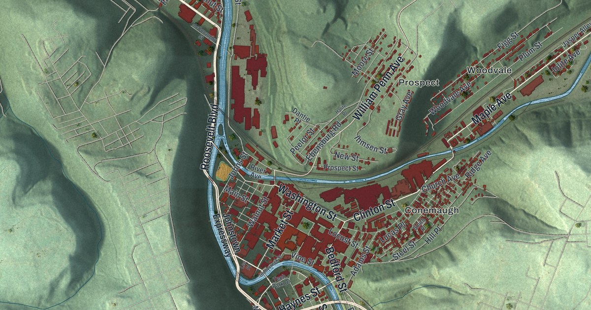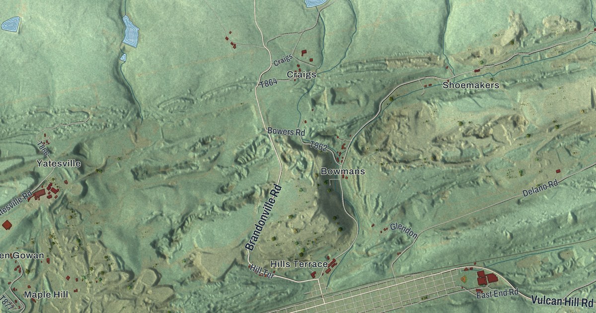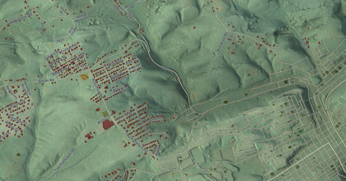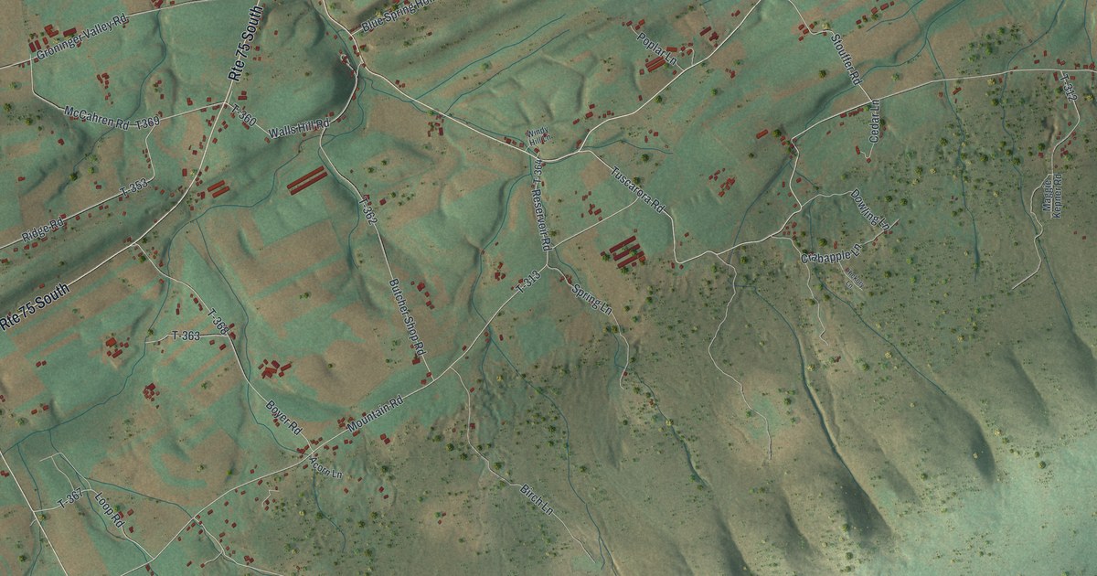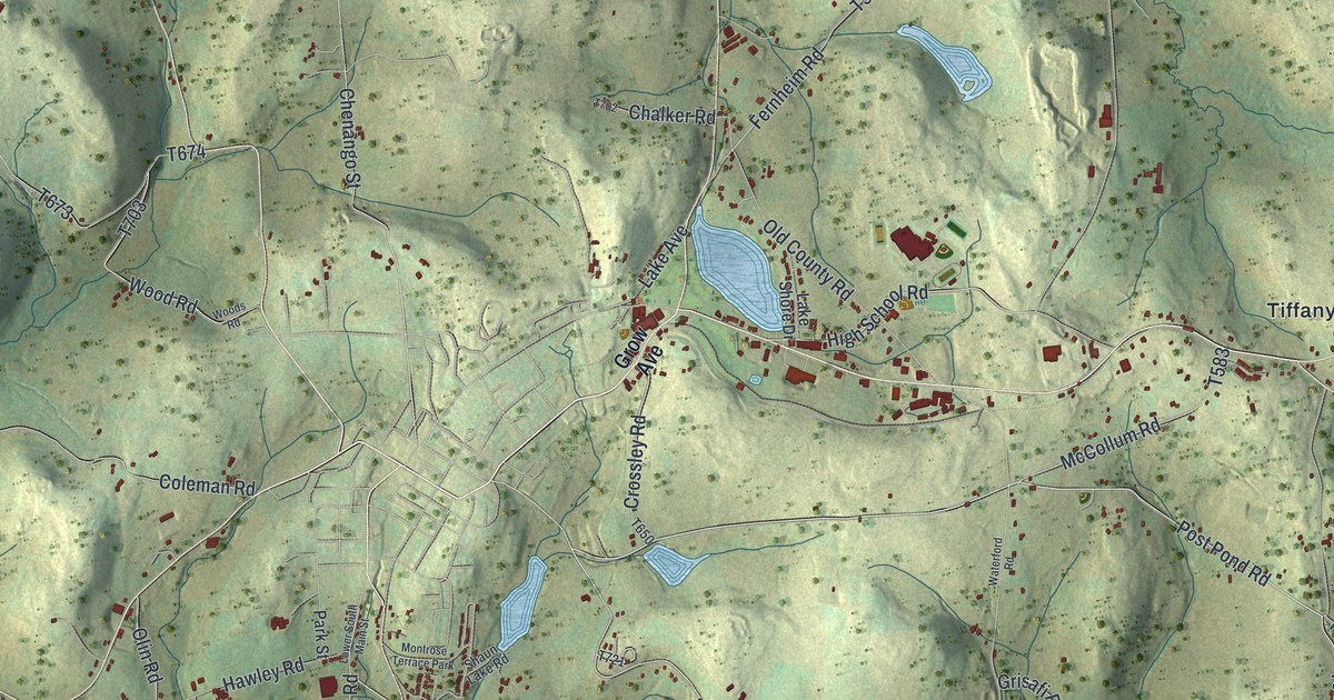
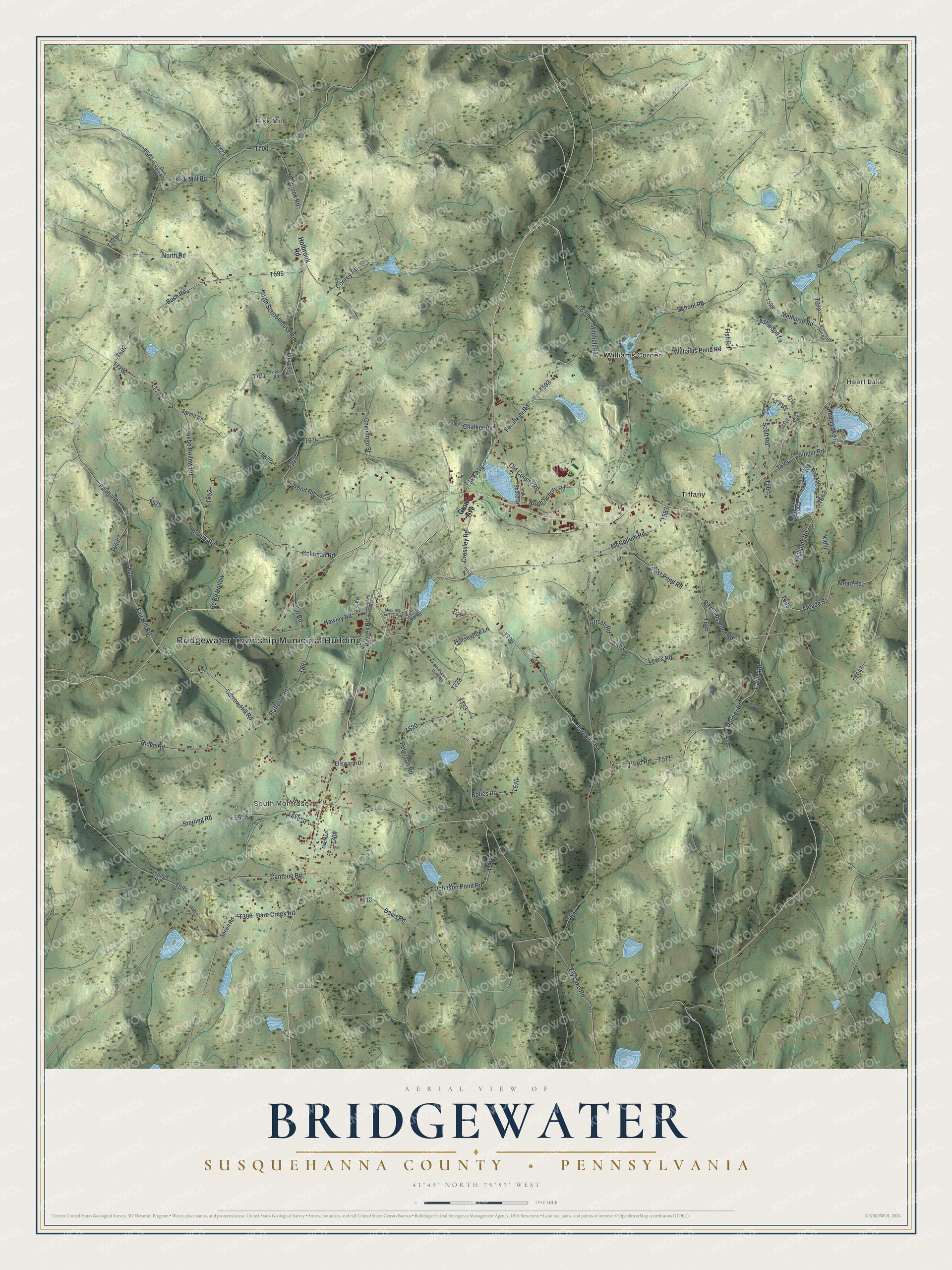
This beautifully detailed map of Bridgewater, Susquehanna County, Pennsylvania was created in 2026 using aerial imagery combined with modern topographical, census, street and landmark data. It's a modern aerial view of Bridgewater, Susquehanna County in Susquehanna County, Pennsylvania, that combines modern data with a vintage aesthetic. The roads feature printed names, and if you look closely you can find your exact house accurately shown in its correct location.
Explore an aerial view of Bridgewater, Susquehanna County, Pennsylvania
On this map you'll find Bridgewater Township Municipal Building, Fisk Mill, South Montrose, Heart Lake, Tiffany, Williams Corner, Williams Pond Road, Bush Road, Horseshoe Lane, T728, Heart Lake Road, T602, and more. Each red shape is a building, so zoom in on the preview and look for yours.
Every town has a first chapter, and Bridgewater, Susquehanna County is no exception. The Bridgewater Township puts it this way: "As a means to preserve the rich agriculture history and the rural working landscape of the area, there are 13,265 acres of the 23,680 enrolled in Agriculture Security Areas. Another 1,676 acres are in Agriculture Conservation Easements."
Bridgewater, Susquehanna County is a place in Susquehanna County. The Census Bureau counted 2,636 people here in 2020.
Take a closer look at the Bridgewater, Susquehanna County map
Names on this map
These names are printed on this map.
Places: Bridgewater Township Municipal Building, Fisk Mill, South Montrose, Heart Lake, Tiffany, Williams Corner, Maple Park and Montrose Terrace Park.
Streets and roads: Williams Pond Road, Bush Road, Horseshoe Lane, Heart Lake Road, Post Pond Road, Darrow Hill Road, Lewis Road, Puzo Road, Williams Road, Turnpike Road, Catlin Road, Palmer Road.
More street names, A to Z
Ashwood Lane, Bare Creek Road, Be Be Hollow, Beebe Hollow Road, Bolles Road, Bronson Hill Road, Cantone Road, Chalker Road, Chenango Street, Chris Ann Road, Coleman Road, Conroy Road, Crossley Road, Dark Hollow Drive, Davis Road, Ellsworth Drive, Ely Lake Road, Fair Hill Road, Fairhill Road, Fernheim Road, Fish Road, Fisk Mill Road, Grisafi Road, Grow Avenue, Hawley Road, High School Road, Holbrook Road, Johnson Pond Road, Kiehl, Lake Avenue, Lake Shore Drive, Lake Street, Loomis Road, Lower South Main Street, Maple Lane, McCollum Road, Meade Street, Mead Road, Melhuish Road, Meshoppen Creek Road, Mitchell Road, North Road, North Schoolhouse Road, Old County Road, Olin Road, Park Street, Peterson Road, Phillips Road, Rafferty Road, Raylean Road, Reynolds Pond Road, Ridge Road, Ritztex Road, School Road, Scott Road, Shaun Lake Road, Sheen Road, Singer Road, Sprout Road, Sterling Road, T-522, Taylor Road, Tocco Road, Waterford Road, Wood Road, Woods Road, Youngs Road.
Created by KNOWOL in 2026. The buildings are small red shapes, the roads carry their printed names, and shaded relief shows the shape of the land. The title panel reads "AERIAL VIEW OF BRIDGEWATER SUSQUEHANNA COUNTY • PENNSYLVANIA" with 4, 1, °, 4, 9, ', , N, O, R, T, H, , 7, 5, °, 5, 3, ', , W, E, S, T.
Hang it in the hallway, the office or the cabin, or give it to someone who left Bridgewater, Susquehanna County and still calls it home. Open the preview and look for a street you know. See sizes and frames for the Bridgewater, Susquehanna County map.