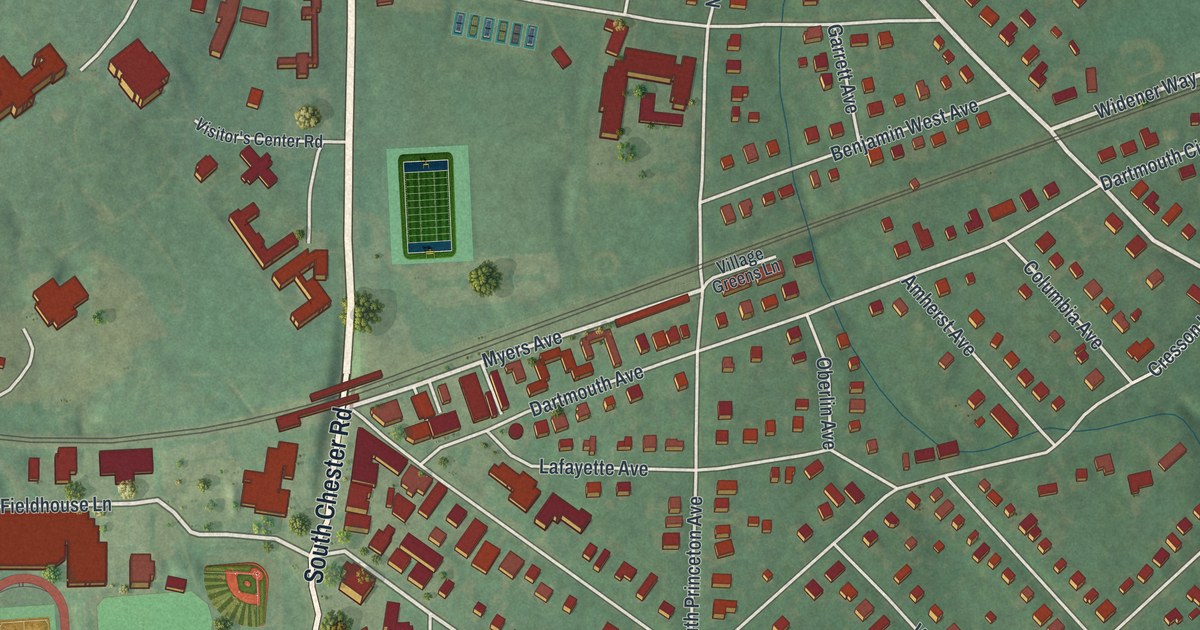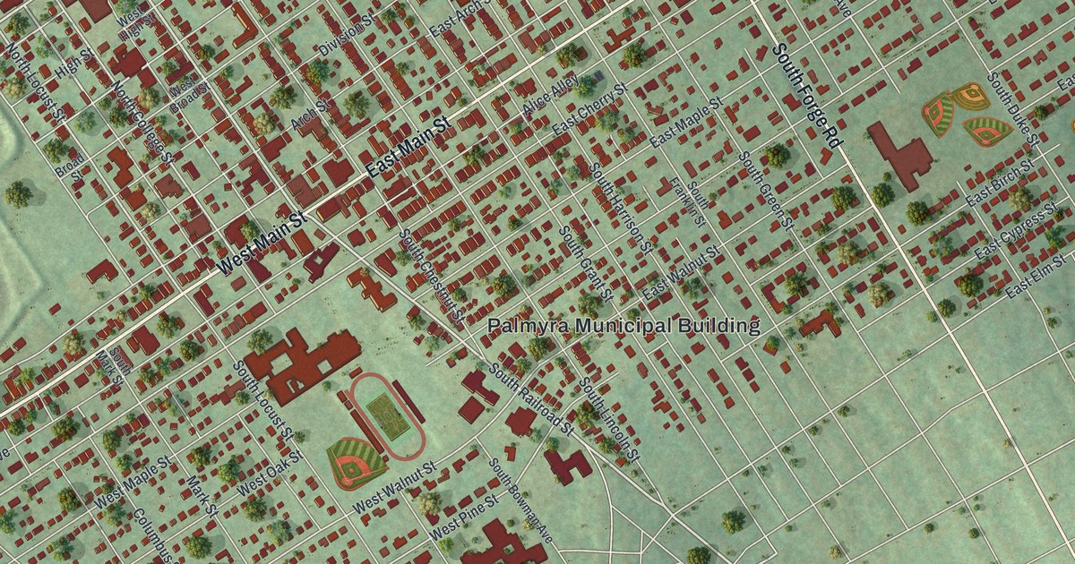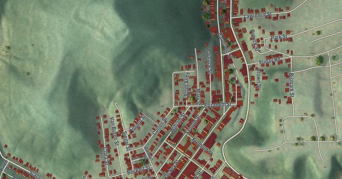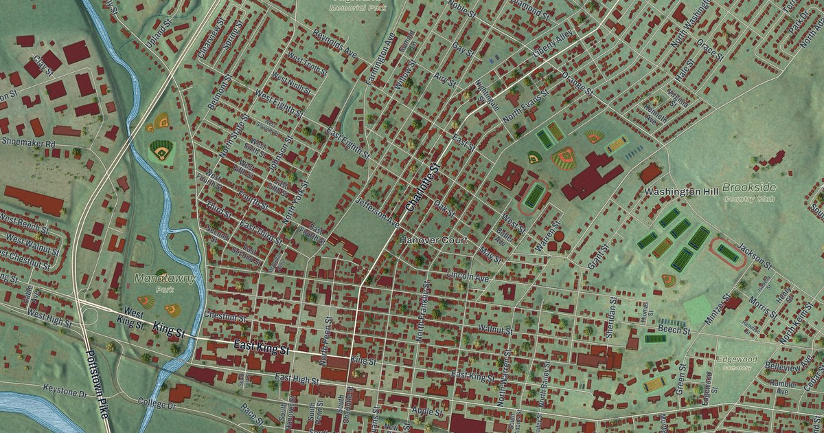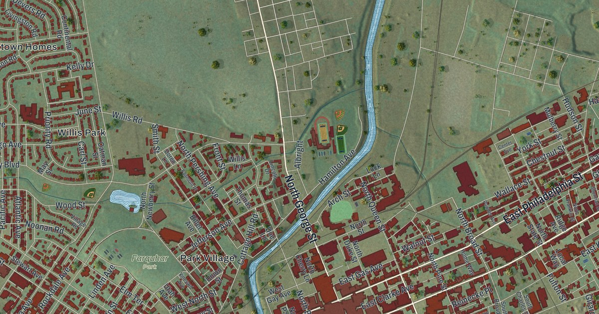
If you grew up in York, look for your old block on this print. It's a modern aerial view of York in York County, Pennsylvania, made with modern data and a vintage feel. Red buildings fill the street grid, with green parks and a winding blue creek between the blocks.
West King Street and The York Locomotive
On this map you'll find East Market Street, West Market Street, North George Street, South George Street, East Philadelphia Street, South Queen Street, West King Street, South Newberry Street, Carlisle Avenue, Memorial Park, Penn Park, Farquhar Park, and more. Each red shape is a building, so zoom in on the preview and look for yours.
A shop at King and Newberry streets helped change how people traveled. The Phineas Davis state marker tells the story. In 1831, Davis designed and built a steam locomotive called The York. The marker calls it the first coal-burning locomotive steam engine in the United States. That same shop also built The Codorus, America's first iron steamboat. On the map, West King Street and South Newberry Street give you a place to connect that story to today's city blocks. The marker records the shop site at the northwest corner of those streets.
From East Market Street to Memorial Park
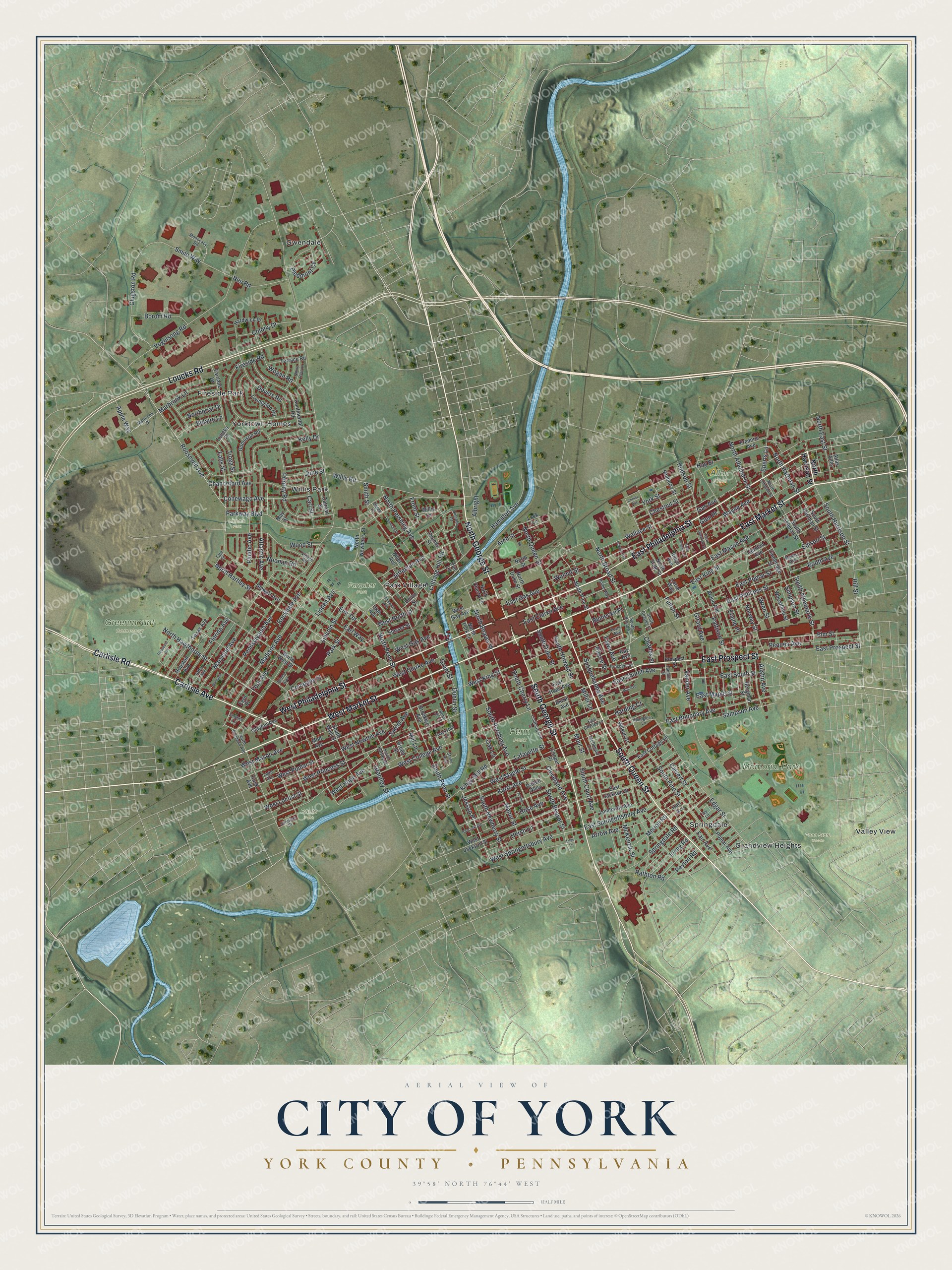
Created by KNOWOL in 2026, this print pairs muted green land with red buildings and blue water. A cream border surrounds the map. The title panel reads AERIAL VIEW OF, CITY OF YORK, and YORK COUNTY • PENNSYLVANIA, with 39°58' NORTH 76°44' WEST below.
Hang it in a living room, office, or entryway. It's a gift for someone who grew up near Memorial Park or moved away from York. Open the preview and find the streets you'd want to keep close. See sizes and frames for the City of York, York County map.