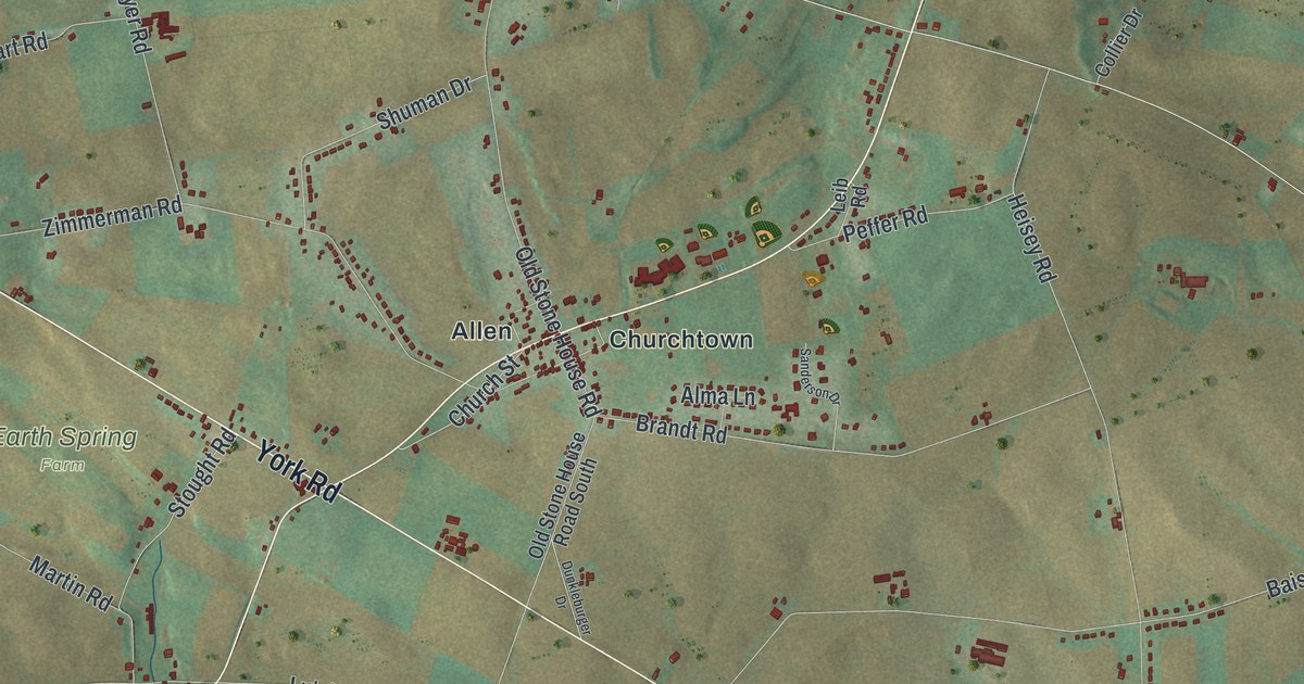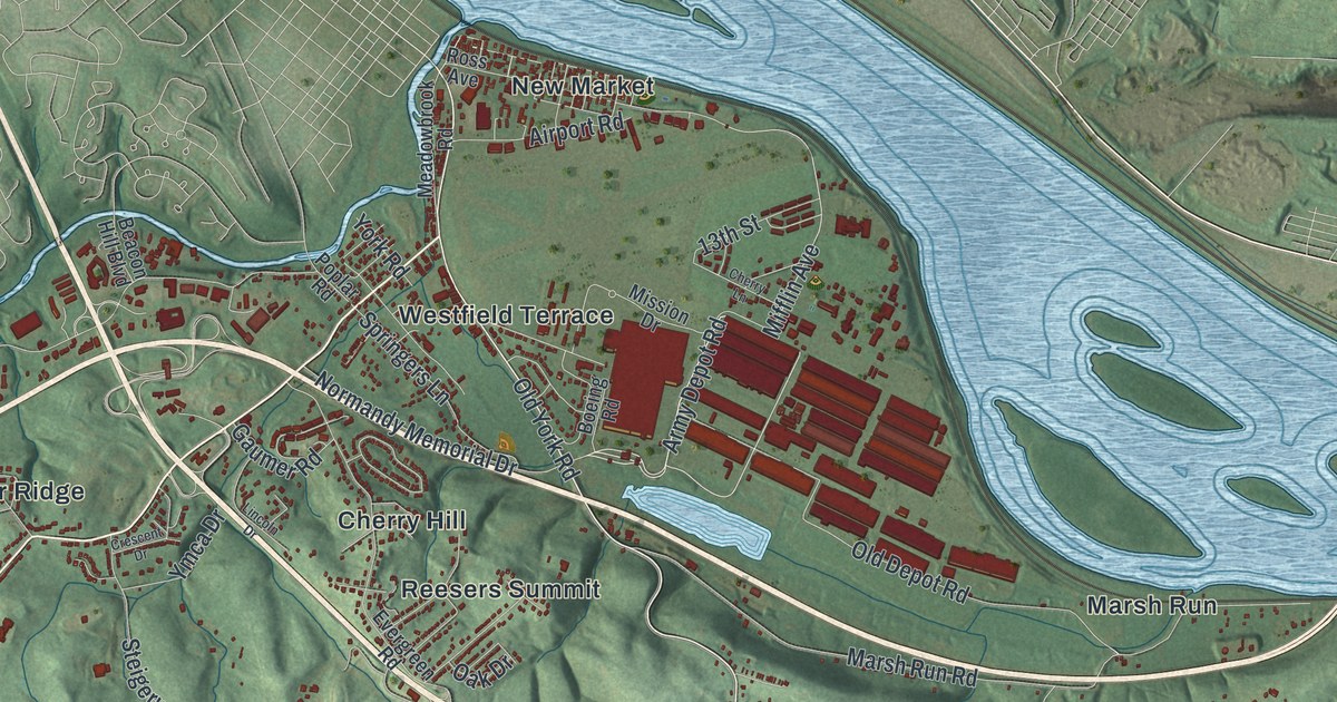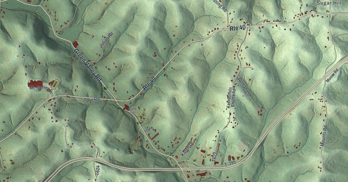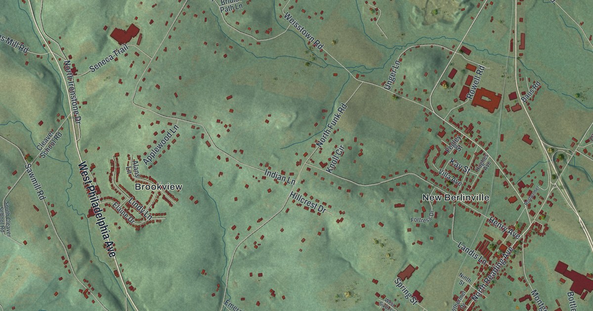
If you grew up in New Berlinville, Morysville or Englesville, this map has your roads on it. It's a modern aerial view of Colebrookdale Township in Berks County, Pennsylvania, made from modern data and given a vintage look. Green hills rise in shaded relief across the whole sheet. Thousands of small red shapes mark the buildings. Brookview, Gabelsville and Indian Springs Village are printed by name, and so are Fairview Cemetery and Union Cemetery.
The roads and villages of Colebrookdale
On this map you'll find North Reading Avenue, South Reading Avenue, West Philadelphia Avenue, Farmington Avenue, Montgomery Avenue, Ironstone Drive, Furnace Hill Road, Powder Mill Hollow Road, Swamp Creek Road, Englesville Road, Cleaver School Road, Fairview Cemetery, Union Cemetery, and more. Each red shape is a building, so zoom in on the preview and look for yours.
Colebrookdale Furnace, built about 1720
Iron is a big part of Colebrookdale's story. A state historical marker says Colebrookdale Furnace is thought to be the first blast furnace built in Pennsylvania. It went up around 1720 on Iron Stone Creek. Four men started it: James Lewis, Anthony Morris, Thomas Potts and Thomas Rutter. They named it after Colebrookdale Furnace in England. It's the same name the township carries today.
The marker stands on South Reading Avenue near Farmington Avenue. You can find both roads on the map. The marker says the furnace stood about half a mile to the east. Look close and you'll also spot Ironstone Drive and Furnace Hill Road.
Iron ore in the Colebrookdale hills
An 1886 history of Berks County says iron ore was found in the county in very great amounts. No one knew when mining for it began. But the book says the first places were doubtless in Colebrookdale and Caernarvon townships. That ore brought forges and furnaces to every part of the county. The same book says large parts of Colebrookdale drain to Perkiomen Creek, and on to the Schuylkill River.
From New Berlinville to Englesville
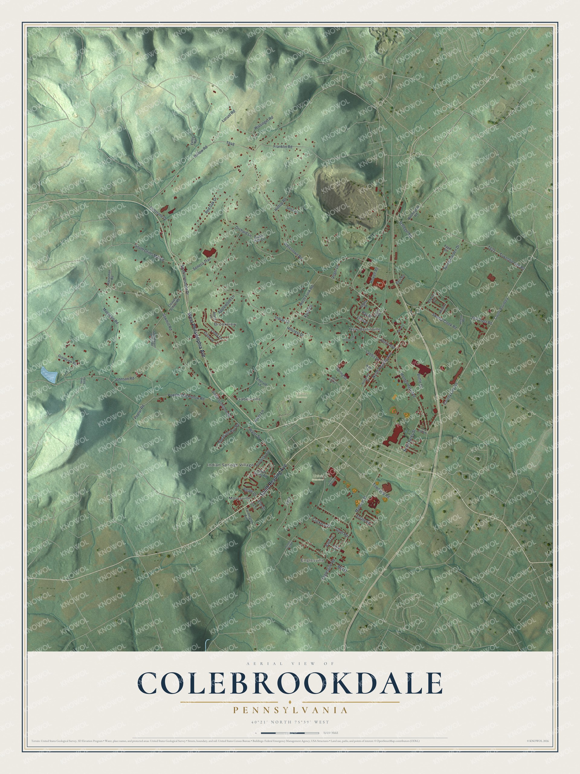
Created by KNOWOL in 2026, this print shows Colebrookdale's green hills in soft shaded relief, with small red buildings and printed road and village names. The title panel reads AERIAL VIEW OF COLEBROOKDALE, PENNSYLVANIA, with 40°21' NORTH 75°39' WEST below it.
It suits a living room, a home office or a hallway by the front door. It makes a good gift for someone who grew up near Gabelsville or who still drives South Reading Avenue every day. It's also a way to send home to someone who moved away. Open the preview and find your road. See sizes and frames for the Colebrookdale map.