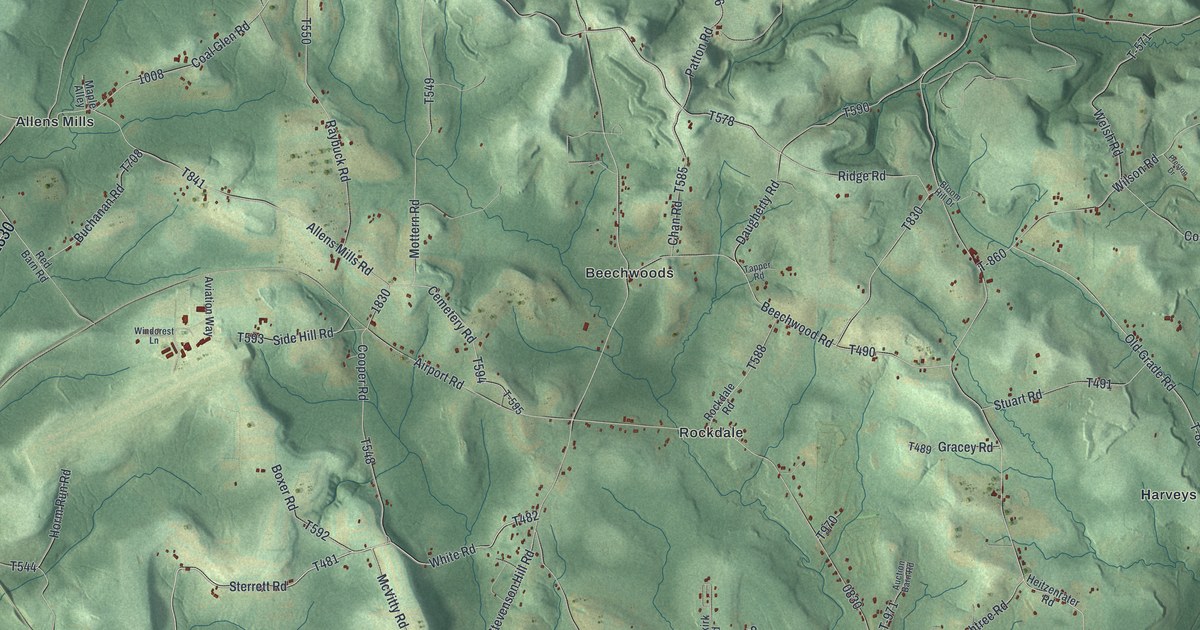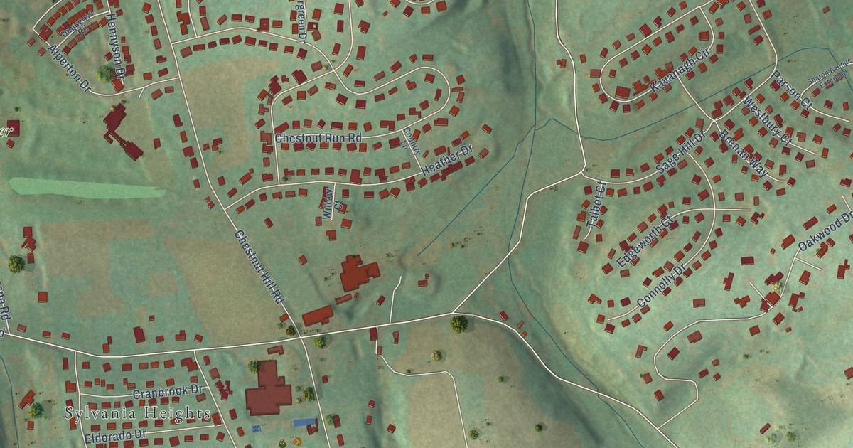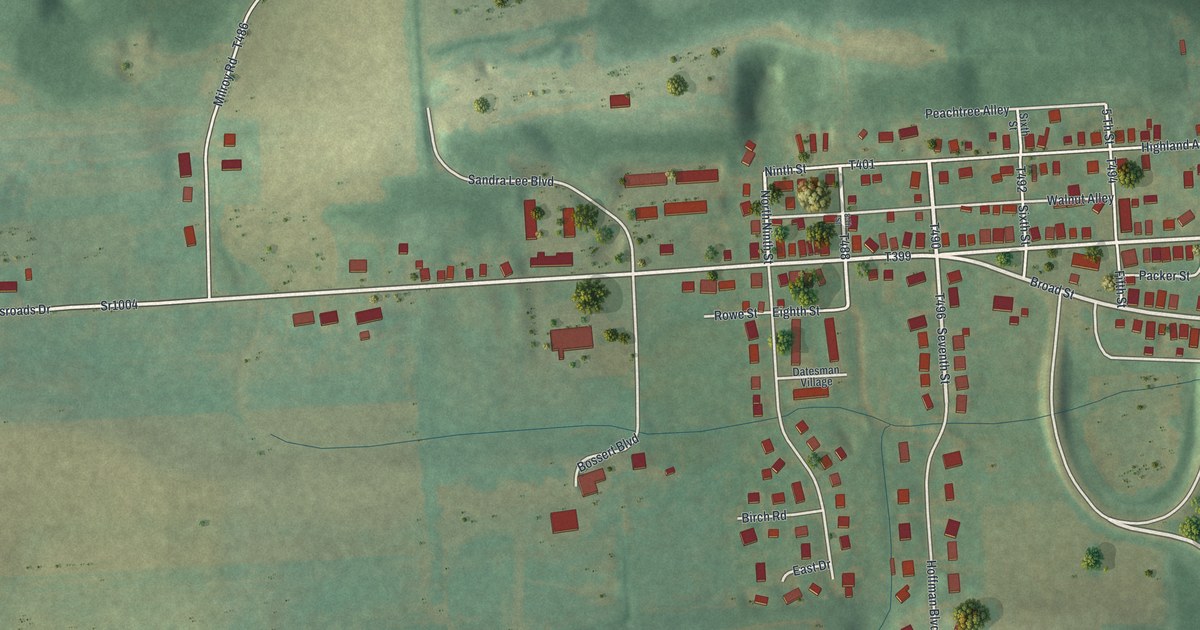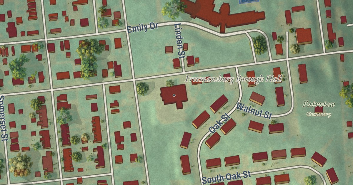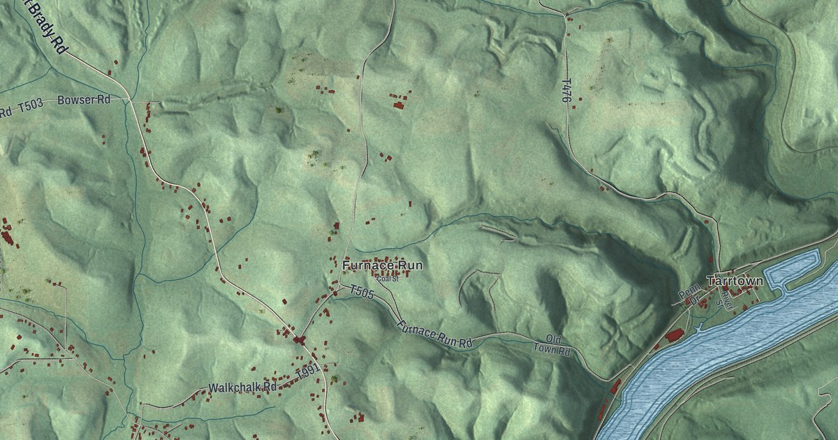
This beautifully detailed map of East Franklin, Pennsylvania was created in 2026 using aerial imagery combined with modern topographical, census, street and landmark data. It’s a one-of-a-kind view of East Franklin that combines accurate data with a vintage aesthetic. The map shows every building in its true location, many of the roads carry their names, and the shaded topographic relief shows the shape of the land.
Explore an aerial view of East Franklin, Pennsylvania
On the map you’ll find Bridgeburg, Adrian, Cowansville, Furnace Run, Tarrtown, Walkchalk, West Hills, and Williamsburg, along with East Brady Road, Franklin Hill Road, Butler Road, Glade Drive, and more. If you look closely you can even find your house accurately drawn in its correct location. Zoom in on the preview to look for yours.
Take a closer look at the East Franklin map
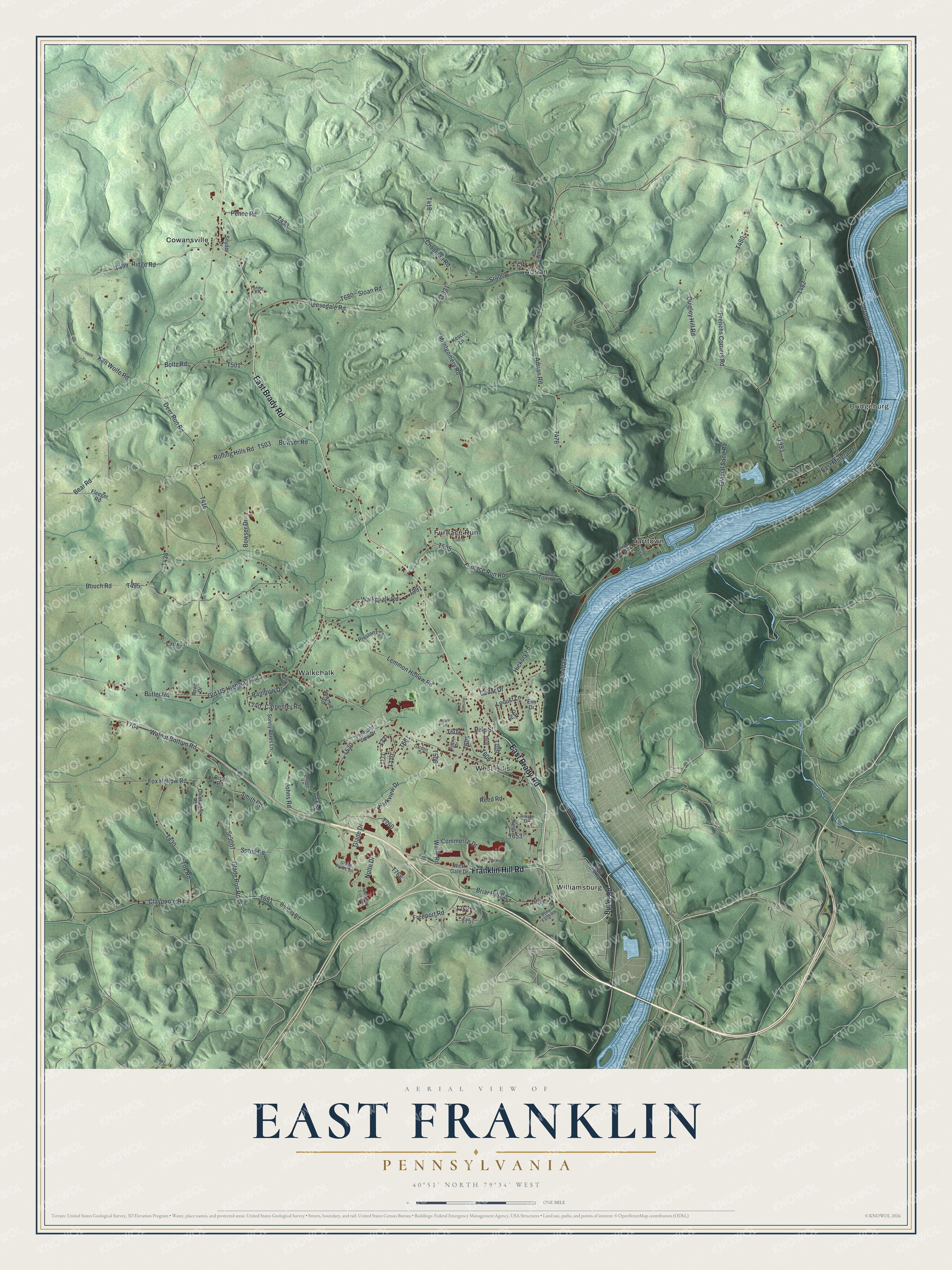
Street and place names on the East Franklin, Pennsylvania map
These names are printed on the map of East Franklin, Pennsylvania.
Places: Bridgeburg, Adrian, Cowansville, Furnace Run, Tarrtown, Walkchalk, West Hills and Williamsburg.
Streets and roads: East Brady Road, Franklin Hill Road, Butler Road, Glade Drive, Furnace Run Road, Old US Highway 422, Bear Road, Deer Run Road, Walkchalk Road, Sr4023, Tarrtown Road, Bowser Road.
More street names, A to Z
Adrian Road, Alpine Lane, Boltz Road, Booher Road, Bouch Road, Bowser Drive, Briar Hill Road, Brice Road, Carpenter Road, Cedar Drive, Chickadee Road, Church Drive, Claypoole Road, Coal Street, Commerce Drive, Crissman Road, East Mineral Drive, Elm Drive, Fahlor Drive, Fawn Drive, Fleeger Road, Fox Hollow Road, Freeport Road, Frenchs Corners Road, Frick Drive, Garden Lane, Glacial Sand Road, Glade Park East, Glade Run Road, Heritage Drive, Hickory Lane, Hilltop Drive, Hilltop Plaza, Johns Road, Ken Wolfe Road, Kesco Lane, Laux Lane, Lemmon Hollow Road, Locust Lane, Montgomery Road, Moore Lane, Nolte Drive, Nolte Drive Extended, Oak Drive, Old Town Road, Parkview Drive, Pence Road, Penn Drive, Pine Hill Road, Pine Street, Pleasant View Drive, Pony Farm Road, Preston Lane, Quigley Hill Road, Rainbow Drive, Reed Road, Reesedale Road, Ridge Road, River Street, Rolling Hills Road, Sawmill Road, Sloan Road, Smith Road, Snyder Drive, Sonny Acres Lane, Sotos Road, Sr3007, Sr4006, Sunset Drive, Toy Road, Walnut Bottom Road, West Gate Drive, Wible Road.
See the East Franklin, Pennsylvania map on a wall
The East Franklin map as an 18 x 24 inch print in a black frame.

This beautifully detailed map of East Franklin makes an attractive addition to your office, library, or den, and it can even be used to teach children the geography and history of the area. It also makes a great gift for anyone with East Franklin roots. When you’re done exploring, click here to get your copy of the East Franklin map.