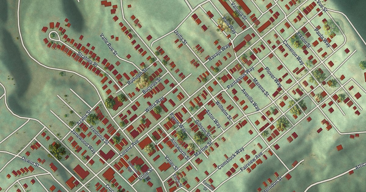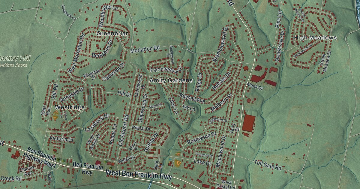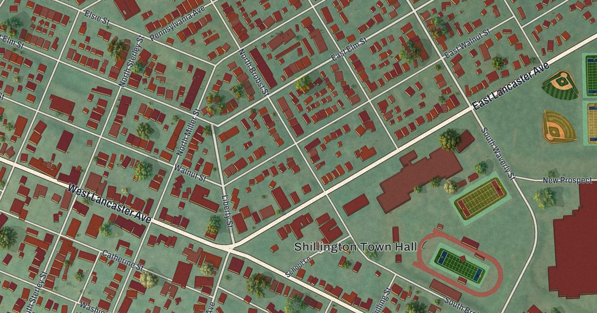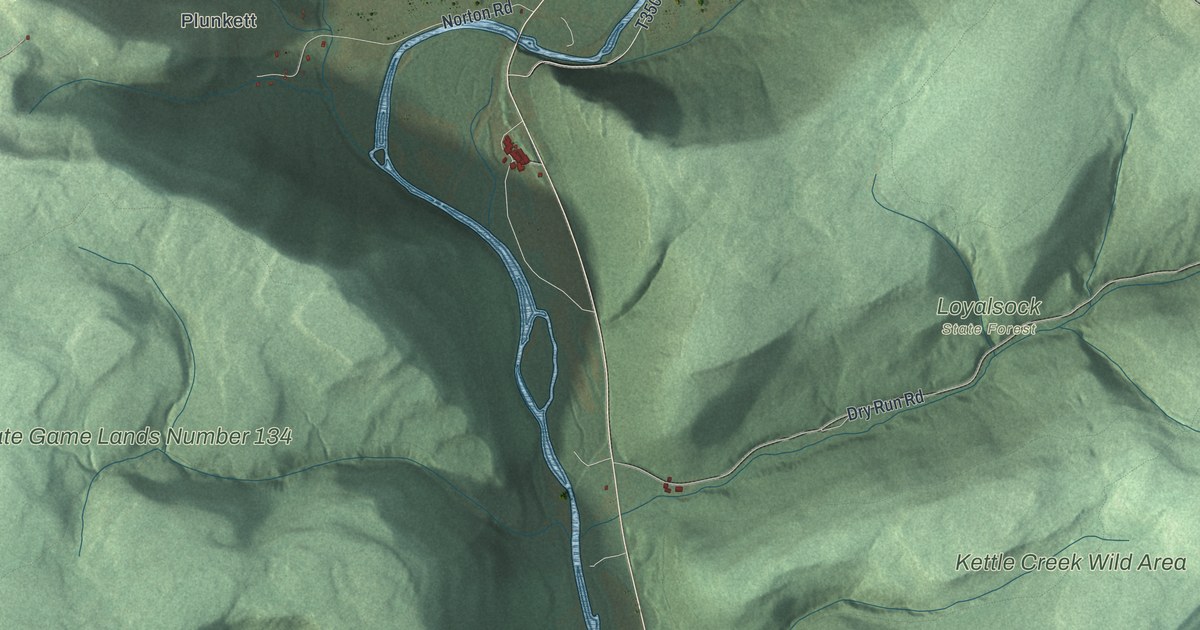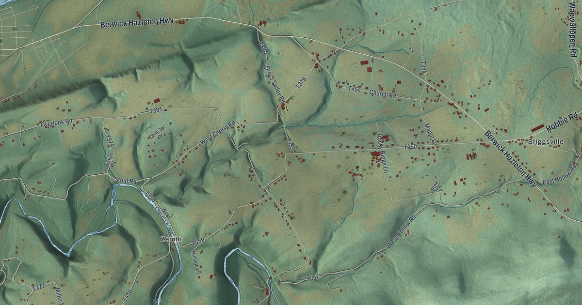
If you grew up along the Berwick Hazleton Highway or out near Briggsville, this map is a piece of home. It's a new aerial view of Nescopeck Township in Luzerne County, Pennsylvania, made from modern data and given a vintage look. A wide river runs across the top of the sheet. Below it, green ridges roll south, and a blue creek winds in tight loops through the hills. Small red buildings gather along the highway at Briggsville and around Zenith.
Briggsville, Zenith and the Berwick Hazleton Highway
On this map you'll find the Berwick Hazleton Highway, Briggsville, Zenith, Mifflin Road, Wapwallopen Road, Church Road, Hobbie Road, Zenith Road, Black Creek Road, River Road, Old Berwick Highway, East Hollow Road, West Hollow Road, Cross Valley Road, Old Mountain Road, and more. Each red shape is a building, so zoom in on the preview and look for yours.
The mills and forge on Nescopeck Creek
The 1893 History of Luzerne County says the first settler here was likely George Walker, in 1786. He settled near where the Benjamin Evans gristmill later stood. He started to build a mill. But the "Pumpkin flood" came that year and washed everything away. Walker soon left and is thought to have gone west. About 1795, William Rittenhouse built a log gristmill on Nescopeck Creek. He built it to get settlers to buy his land. By 1807, many families had come, nearly all from Northampton County.
The creek kept working for years after that. In 1830, E. and J. Leidy built a forge on Nescopeck Creek. It made bar iron from ore brought in from Columbia County. Simon Cameron once had a share in it. S. F. Headley made it bigger and ran it until 1854. A tannery ran on the creek from 1858 to 1870. In 1866, one writer counted 3 sawmills, 2 gristmills, a forge, 2 stores, 2 churches and 3 taverns in the township. The Benjamin Evans House here is now on the National Register. On the map, look for the blue creek that bends in deep loops near Zenith.
Nescopeck Township, from Briggsville to Zenith

Created by KNOWOL in 2026, the print shows the township in soft greens and blues, with shaded ridges, a winding creek and small red buildings. The cream title panel reads "Aerial View of Nescopeck," with "Luzerne County • Pennsylvania" and 41°02' North 76°10' West below it.
It fits a living room, a den or a hallway by the front door. It's a good gift for someone who grew up near Briggsville or along Wapwallopen Road, or for family who moved away. Open the preview and find the roads you know. See sizes and frames for the Nescopeck, Luzerne County map.