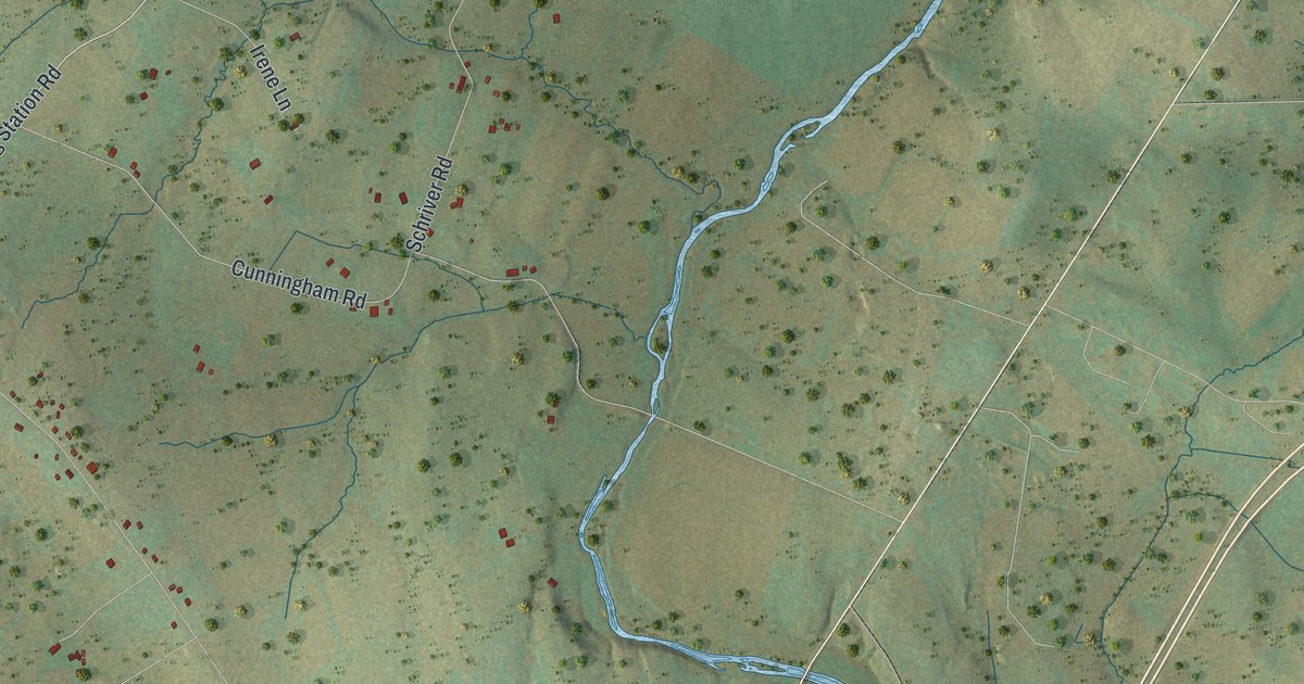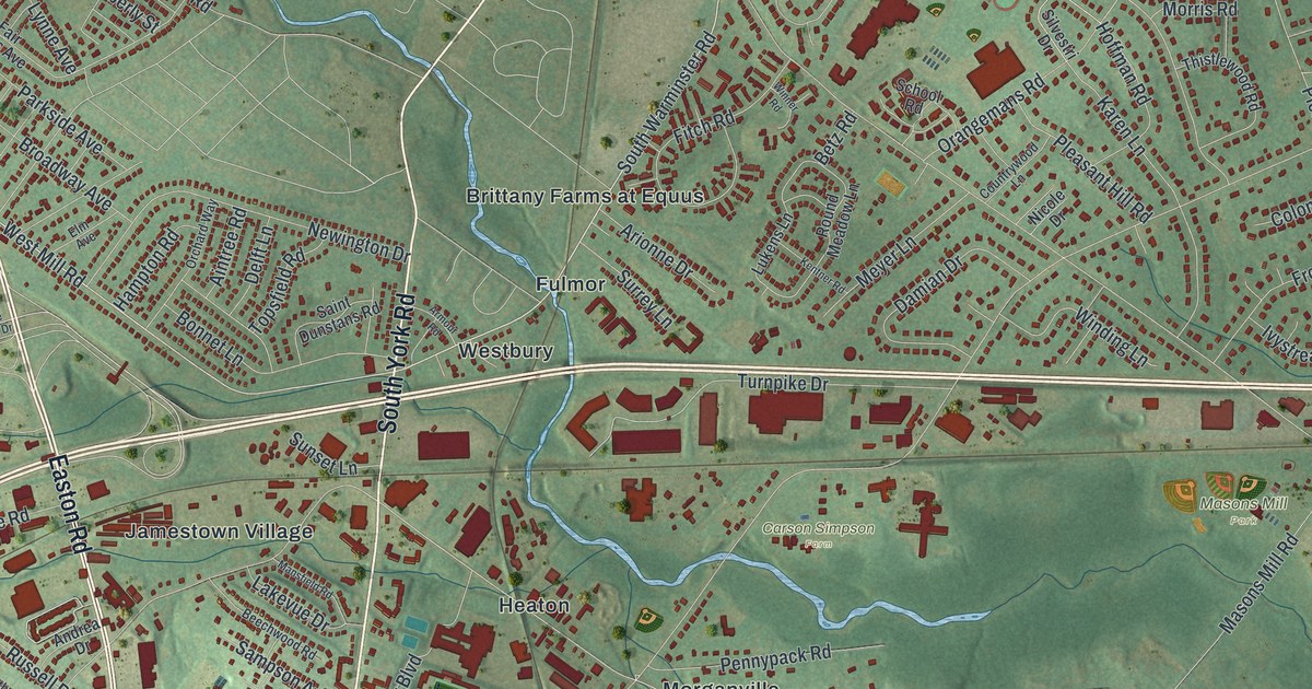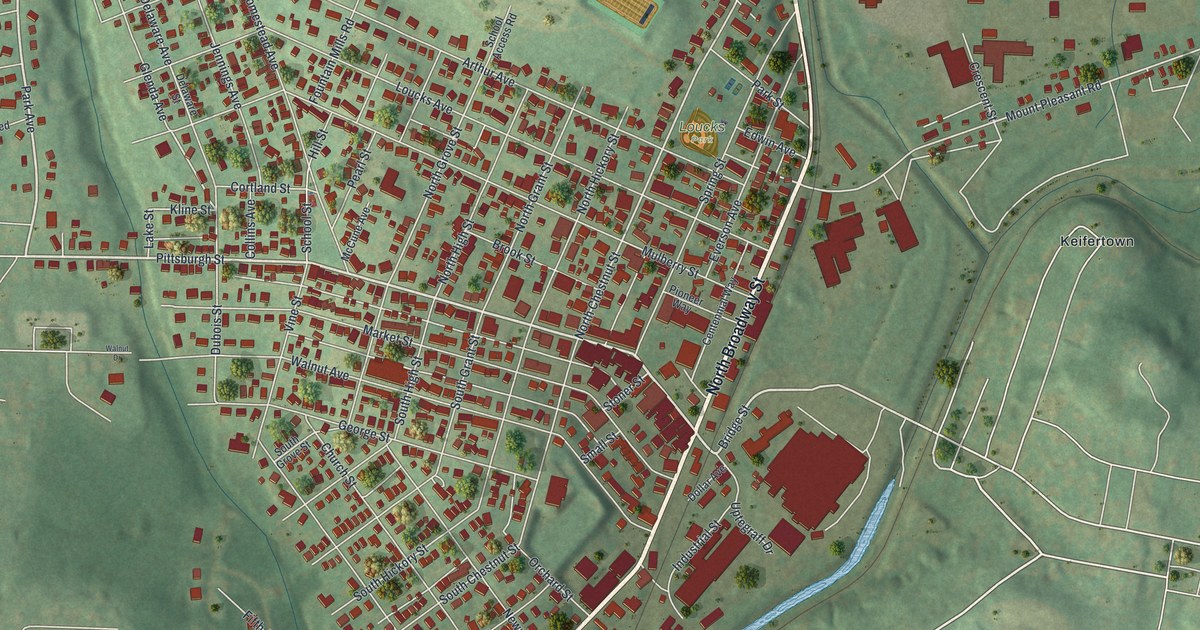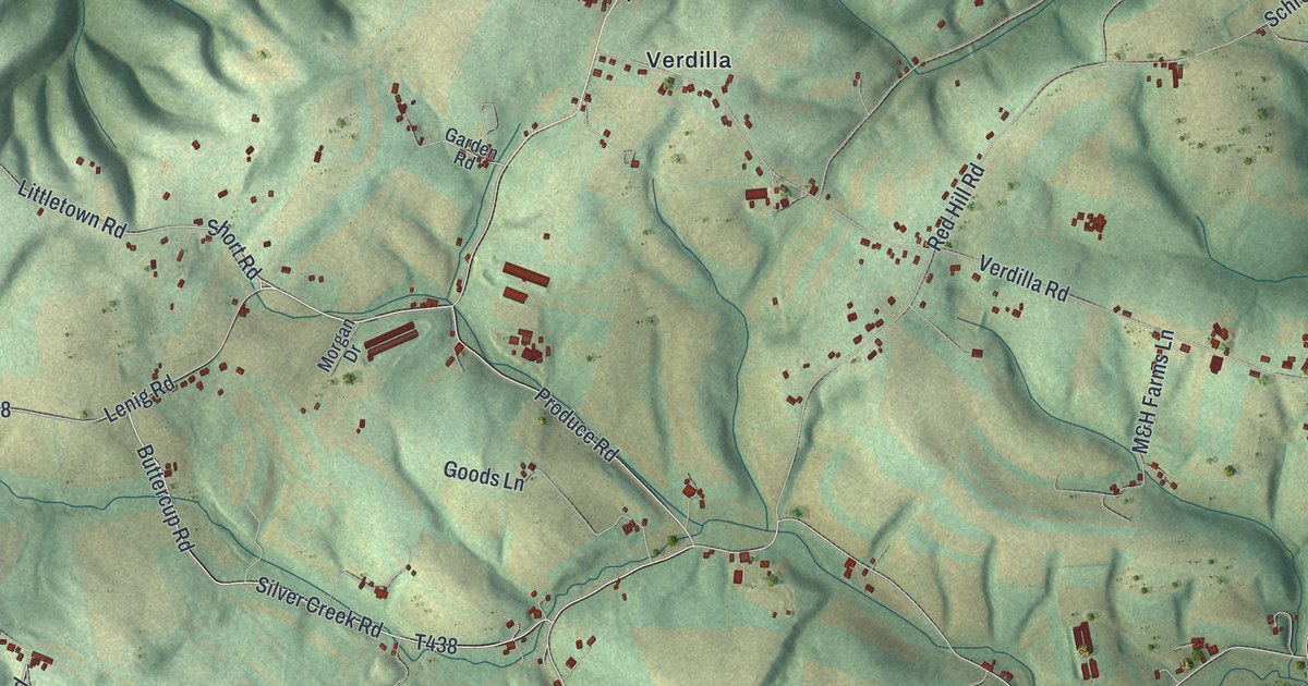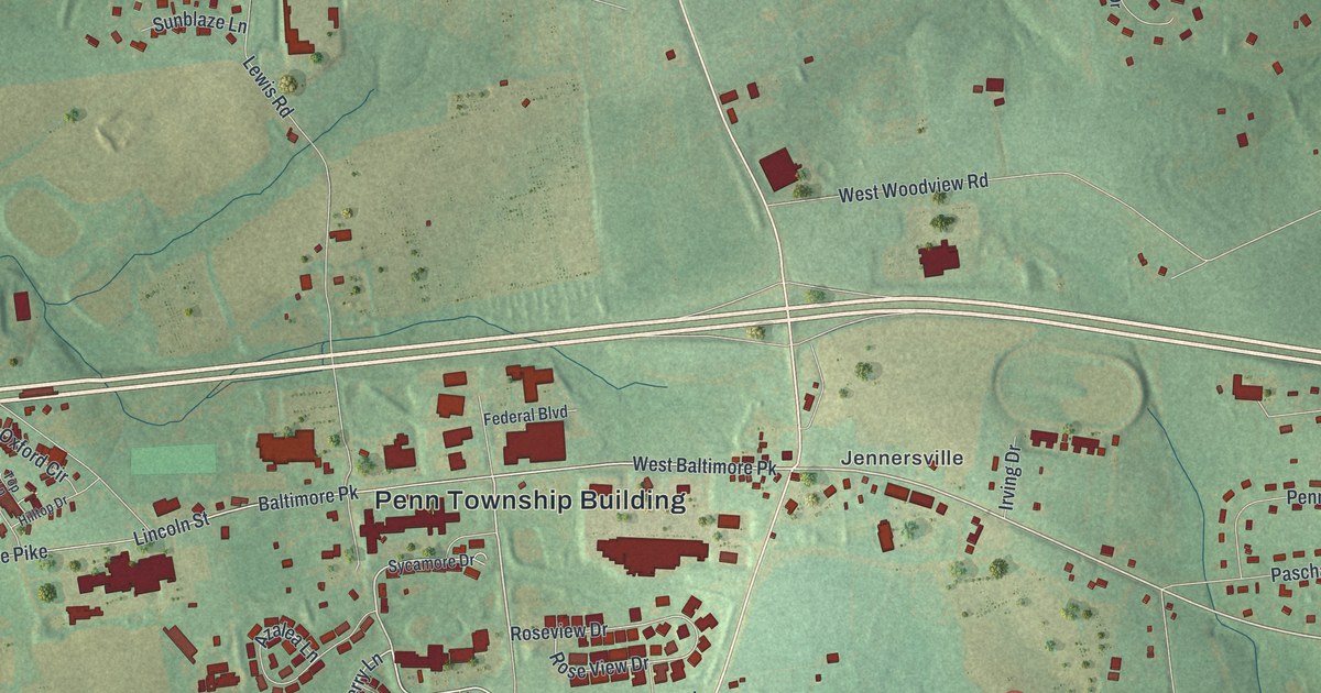
If you grew up around Jennersville, this print gives you familiar roads to find. It's a modern aerial view of Penn Township in Chester County, Pennsylvania, made with modern data and a vintage feel. Red buildings dot green land, with clusters of homes around Jennersville, Kelton and Elkview.
Jennersville, Kelton and Elkview on the map
On this map you'll find West Baltimore Pike, South Jennersville Road, North Jennersville Road, Penn Township Building, Jennersville, Kelton, Elkview, Newark Road, State Road 896, Jenners Pond Road, Kelton Road, Elkview Road, and more. Each red shape is a building, so zoom in on the preview and look for yours.
South Jennersville Road has a place in country music history. The state marker for Sunset Park places the former venue on that road. It tells how the Waltman family ran the park from 1940 to 1995. Country and bluegrass stars who played there included Hank Williams, Loretta Lynn, Dolly Parton and Bill Monroe. The park helped country music reach a national audience. Some live recordings of its major performers have been saved. Find South Jennersville Road on the print to connect that story with a familiar local road.
A Penn Township print to keep close
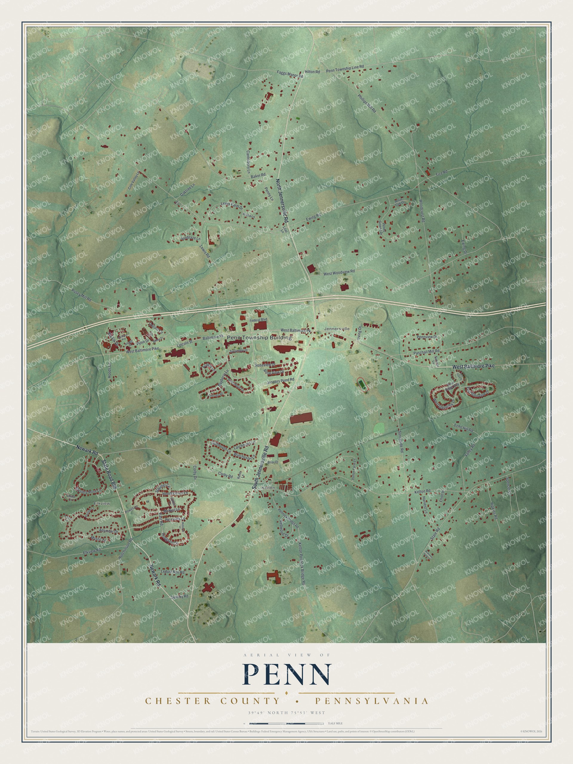
Created by KNOWOL in 2026, the print pairs soft green land with red buildings, pale roads and blue streams. A cream border surrounds the map. The title panel reads AERIAL VIEW OF, PENN, and CHESTER COUNTY • PENNSYLVANIA, with 39°49' NORTH 75°53' WEST below.
Hang it in a living room, home office or entryway. It's a gift for someone who grew up in Kelton or remembers shows at Sunset Park. Open the preview to look for the streets that bring home to mind. See sizes and frames for the Penn, Chester County map.