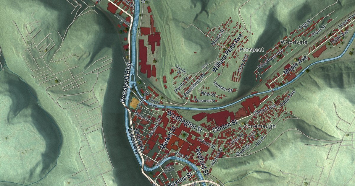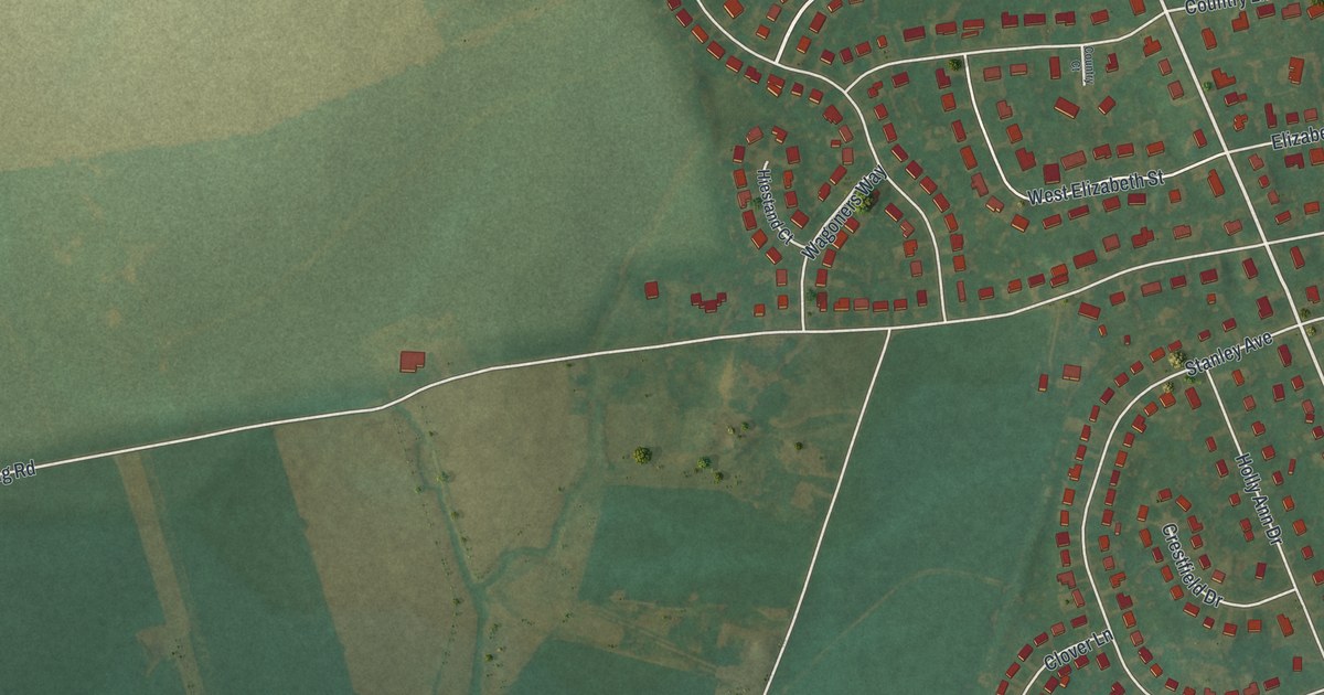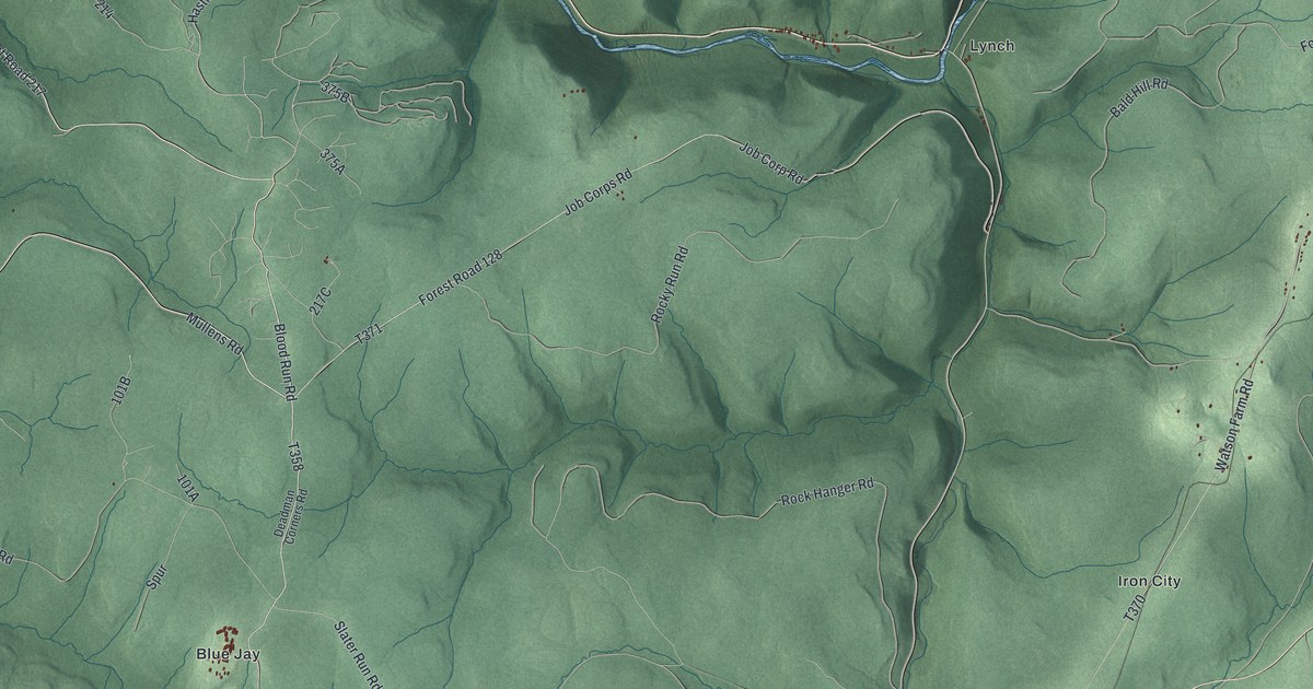
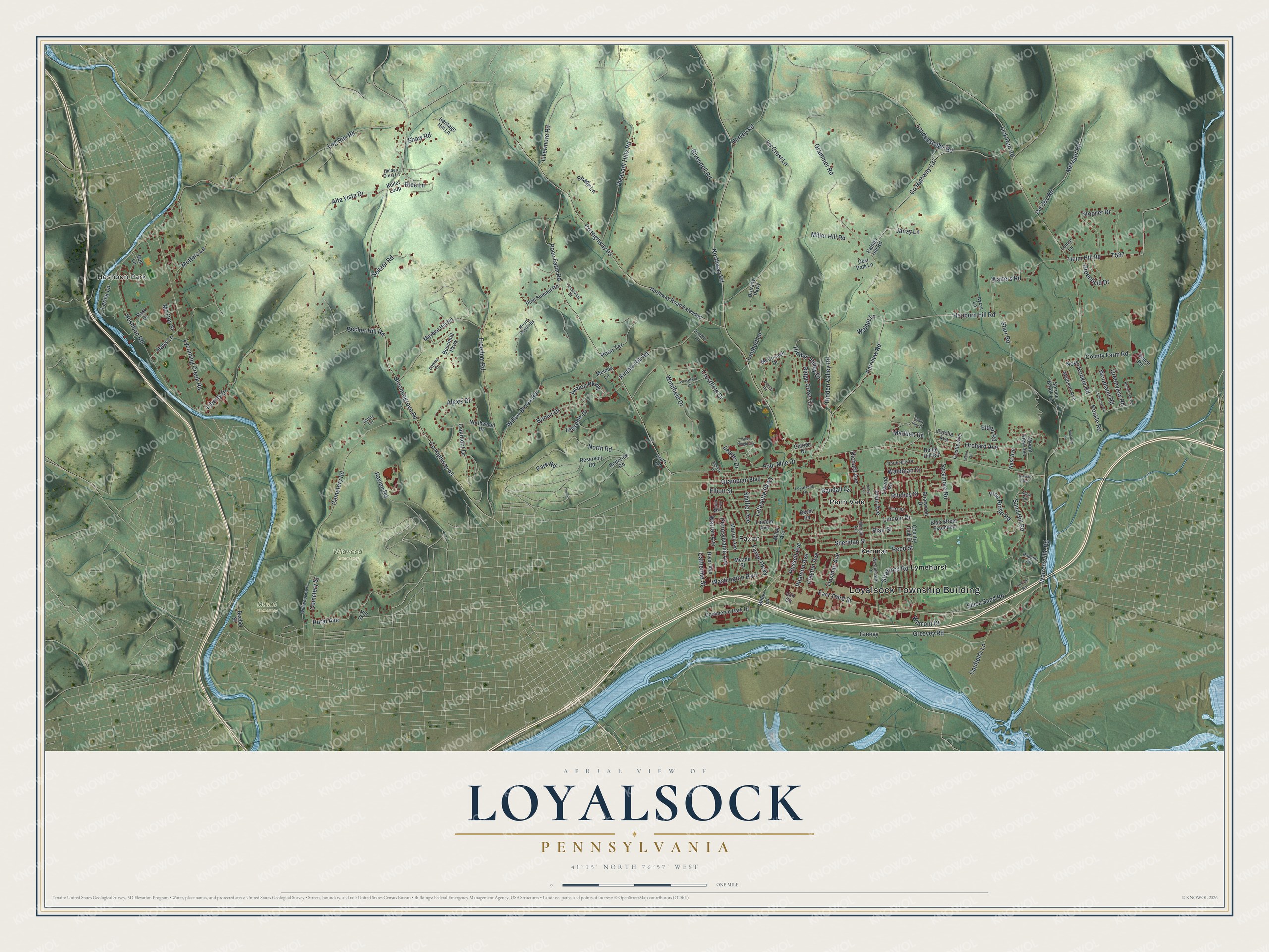
This beautifully detailed map of Loyalsock, Pennsylvania was created in 2026 using aerial imagery combined with modern topographical, census, street and landmark data. It’s a one-of-a-kind view of Loyalsock that combines accurate data with a vintage aesthetic. The map shows every building in its true location, many of the roads carry their names, and the shaded topographic relief shows the shape of the land.
Explore an aerial view of Loyalsock, Pennsylvania
On the map you’ll find Loyalsock Township Building, Heshbon Park, Mound Cemetery, Wildwood Cemetery, Faxon, Kenmar, Lymehurst, and Penn Vale, along with East Third Street, Warrensville Road, Northway Road, Lycoming Creek Road, and more. If you look closely you can even find your house accurately drawn in its correct location. Zoom in on the preview to look for yours.
Take a closer look at the Loyalsock map
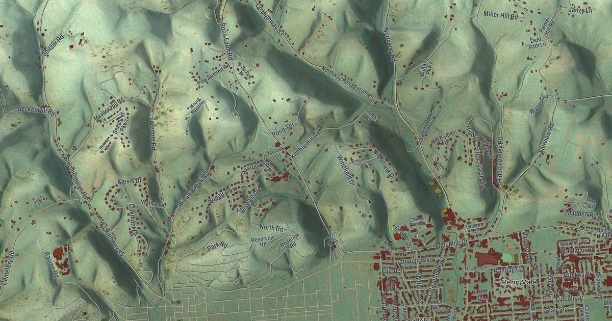
Street and place names on the Loyalsock, Pennsylvania map
These names are printed on the map of Loyalsock, Pennsylvania.
Places: Loyalsock Township Building, Heshbon Park, Mound Cemetery, Wildwood Cemetery, Faxon, Kenmar, Lymehurst and Penn Vale.
Streets and roads: East Third Street, Warrensville Road, Northway Road, Lycoming Creek Road, County Highway 45, Bloomingrove Road, County Highway 137, Four Mile Drive, County Highway 93, Poco Farm Road, Log Run Road, Fairview Road.
More street names, A to Z
Adele Road, Alexis Drive, Alta Vista Drive, Alvin Avenue, Avalon Parkway, Ayers Lane, Beach Road, Becht Road, Becker Hill Road, Beeber Street, Beechnut Parkway, Bentley Drive, Blair Street, Blair Street Extended, Bonair Drive, Bond Street, Bon Lane, Briarwood Drive, Brittany Parkway, Bullet Hill Road, Canfields Lane, Catherine Street, Cemetery Road, Cemetery Street, Clarion Drive, Clayton Avenue, Commerce Park Drive, Country Club Drive, County Farm Road, Crestfield Drive, Crestview Drive, Cristie Avenue, Dawne Drive, Deer Path Lane, Doebler Lane, Eck Circle, Eldon Road, Elliott Street, Elwood Road, Estella Avenue, Faxon Parkway, Freedom Road, Grammer Road, Grampian Boulevard, Greenfield Drive, Greenview Road, Greevey Road, Greevy, Harvey Road, Hays Lane, Heim Hill Road, Hepburn Hill Road, Heritage Hill Lane, Heshbon Road, Hidden Crest Lane, Hidden Valley Drive, Hidden Valley Road, Hillsdale Drive, Hill Street, Inverness Road, Ivy Crest Lane, Janzy Lane, Keller Loop, Kimble Hill Road, Konkle Road, Lafayette Parkway, Lambert Lane, Lance Lane, Leader Drive, Leona Lane, Liberty Drive, Lick Run Road, Lincoln Avenue, Lincoln Drive, Livermore Road, Loudenslager Road, Loyalsock Drive, Madden Road, Madison Avenue, Mansel Avenue, Marlin Parkway, Maybee Hill Road, McConnell Drive, Mc Coy Street, Meade Street, Meadow Lane, Melody Lane, Metzger Road, Miller Avenue, Miller Hill Road, Miller Lane, Morgan Avenue, Motters Lane, Mount Royal Heights, Mount View Avenue, Nast Avenue, North Hills Drive, North Konkle Road, North Road, Northway Road Extended, Northwood Drive, Oakes Avenue, Oakmont Drive, Orchard Avenue, Palmer Hill Road, Park Drive, Park Road, Pearson Avenue, Pennsylvania Avenue, Pine Ridge Road, Pine Summit Road, Pleasant Hills Road, Poco Lane, Poco Terrace, Pvt 361 Road, Randall Circle, Ravine Road, Reed Street, Reservoir Road, Rice Lane, Richard Avenue, Ridge Crest Circle, Ritchey Street, Rivendell Road, River Avenue, Robbins Road, Roderick Road, Round Top Road, Rural Avenue, Russell Avenue, Sand Hill Road, Schick Boulevard, Seitzer Road, Shady Lane, Shaw Road, Sheridan Street, Shiffler Avenue, Silica Sand Road, Spruce Brook Lane, Starr Road, Stopper Drive, Strafford Road, Sunny Terrace, Sycamore Road, Terminal Road, Thomas Road, Tinsman Avenue, Valley Heights Drive, Vista Road, Waldman Drive, Walnut Lane, Walters Road, Warren Avenue, Washington Boulevard, Westminster Drive, Wheatfield Drive, White Pine Drive, Wildwood Boulevard, Willow Brook Road, Wilmont Drive, Windfield Drive, Woodland Road.
See the Loyalsock, Pennsylvania map on a wall
The Loyalsock map as an 18 x 24 inch print in a black frame.

This beautifully detailed map of Loyalsock makes an attractive addition to your office, library, or den, and it can even be used to teach children the geography and history of the area. It also makes a great gift for anyone who grew up in Loyalsock or moved away. When you’re done exploring, click here to get your copy of the Loyalsock map.