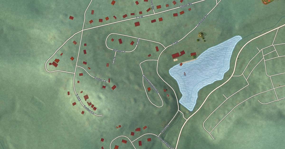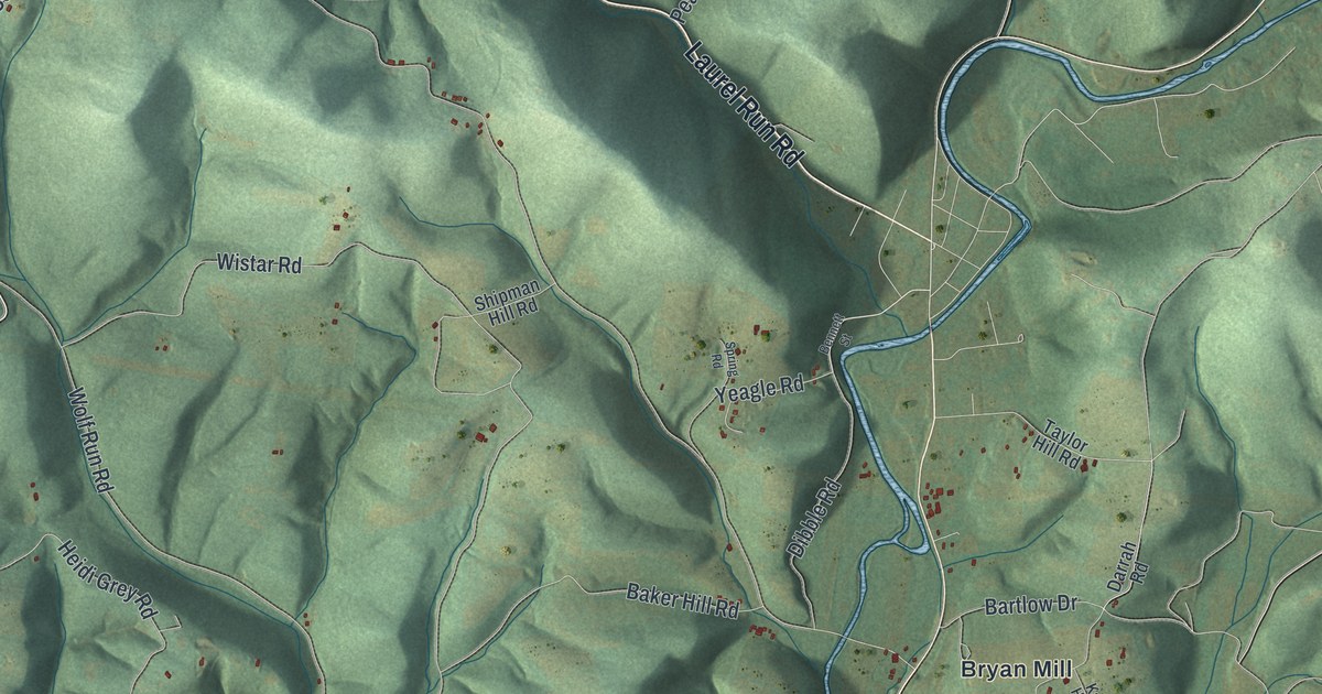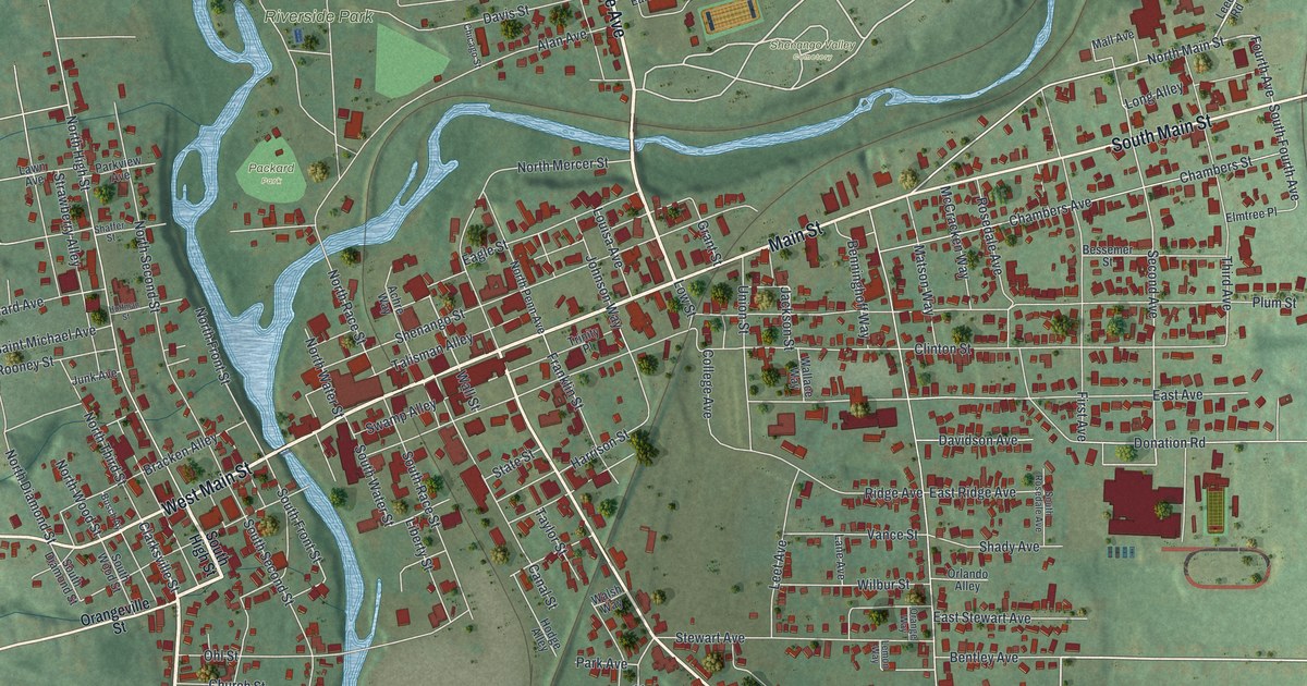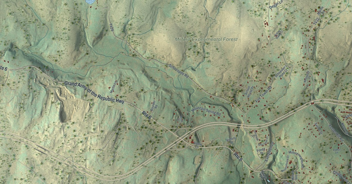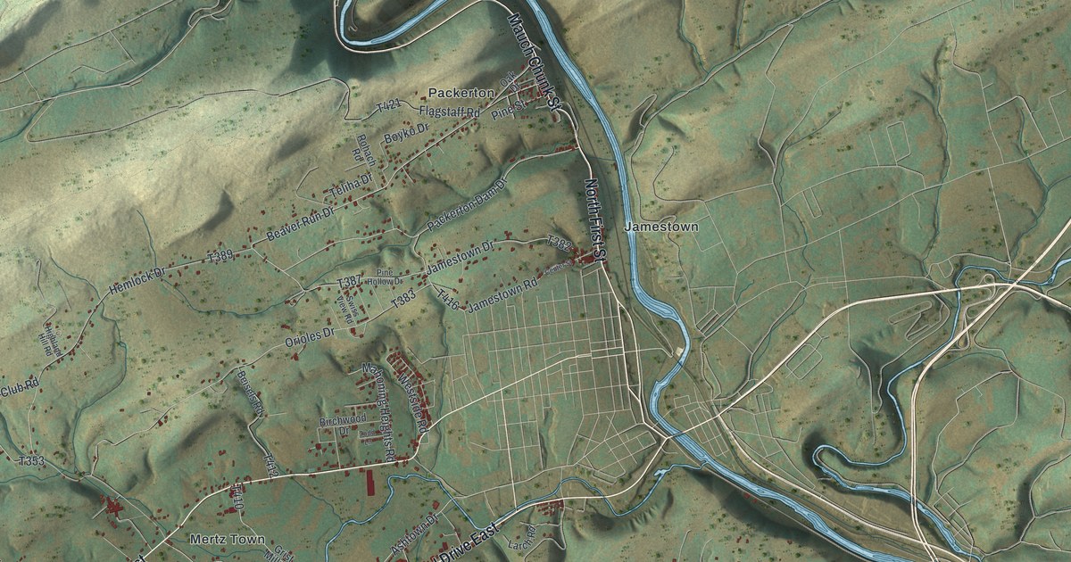
This beautifully detailed map of Mahoning, Carbon County, Pennsylvania was created in 2026 using aerial imagery combined with modern topographical, census, street and landmark data. It’s a one-of-a-kind view of Mahoning that combines accurate data with a vintage aesthetic. The map shows every building in its true location, many of the roads carry their names, and the shaded topographic relief shows the shape of the land.
Explore an aerial view of Mahoning, Carbon County, Pennsylvania
On the map you’ll find Dry Tavern, Jamestown, Mertz Town, New Mahoning, Normal Square, Packerton, and Packerton Junction, along with Mill Road, North First Street, Mauch Chunk Street, Packerton Dam Drive, Beaver Run Drive, and more. If you look closely you can even find your house accurately drawn in its correct location. Zoom in on the preview to look for yours.
Take a closer look at the Mahoning, Carbon County map
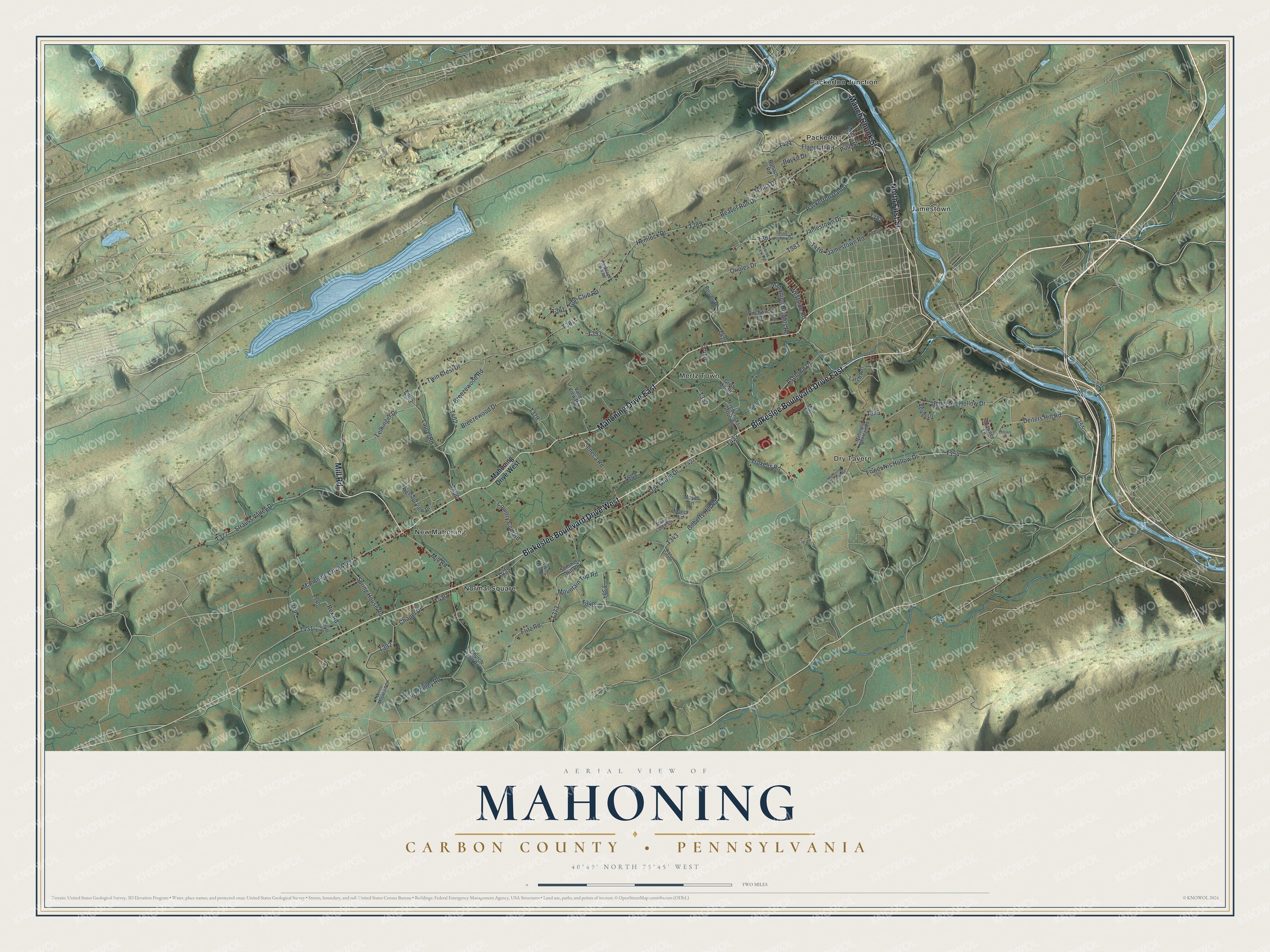
Street and place names on the Mahoning, Carbon County, Pennsylvania map
These names are printed on the map of Mahoning, Carbon County, Pennsylvania.
Places: Dry Tavern, Jamestown, Mertz Town, New Mahoning, Normal Square, Packerton and Packerton Junction.
Streets and roads: Blakeslee Boulevard Drive East, Mahoning Drive East, Mill Road, North First Street, Blakeslee Boulevard Drive West, Mauch Chunk Street, Mahoning Drive West, Packerton Dam Drive, Beaver Run Drive, Gilberts Hill Road, Fritz Valley Road, Deiters Hill Road.
More street names, A to Z
Ashtown Drive, Beisels Road, Birchwood Drive, Boyko Drive, Breezewood Drive, Breezewood Road, Center Street, Chapel Drive, Church Hill Road, Country Club Road, County Line Drive, Flagstaff Road, Fredericks Grove Road, Fritz Road, Grist Mill Road, Gun Club Road, Hemlock Drive, Highland Hill Road, Jamestown Drive, Jamestown Road, Larch Road, Laurel Road, Leininger Drive, Lower Nis Hollow Drive, Mahoning Heights Road, Mahoning Mountain Road, Mall Lane, Manor Lane, Manor Lane East, Mountain Top Road, Moyer Lane, Navajo Lane, Oak Drive, Oak Grove Drive, Orioles Drive, Pine Hollow Drive, Pine Street, Pleasant View Drive, Rex Road, Rohach Road, Semmels Hill Road, Seneca Road, Shawnee Lane, Spring House Road, Strauss Valley Drive, Swiss View Road, Teliha Drive, Todd Lane, Troxells Road, Twin Crest Drive, Twin Hill Drive, Upper Nis Hollow Drive, Valley View Road, Velvet Lane, Westside Road, Winter Mountain Drive.
See the Mahoning, Carbon County, Pennsylvania map on a wall
The Mahoning, Carbon County map as an 18 x 24 inch print in a black frame.

This beautifully detailed map of Mahoning, Carbon County makes an attractive addition to your office, library, or den, and it can even be used to teach children the geography and history of the area. It also makes a great gift for anyone with Mahoning roots. When you’re done exploring, click here to get your copy of the Mahoning, Carbon County map.