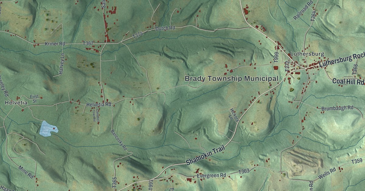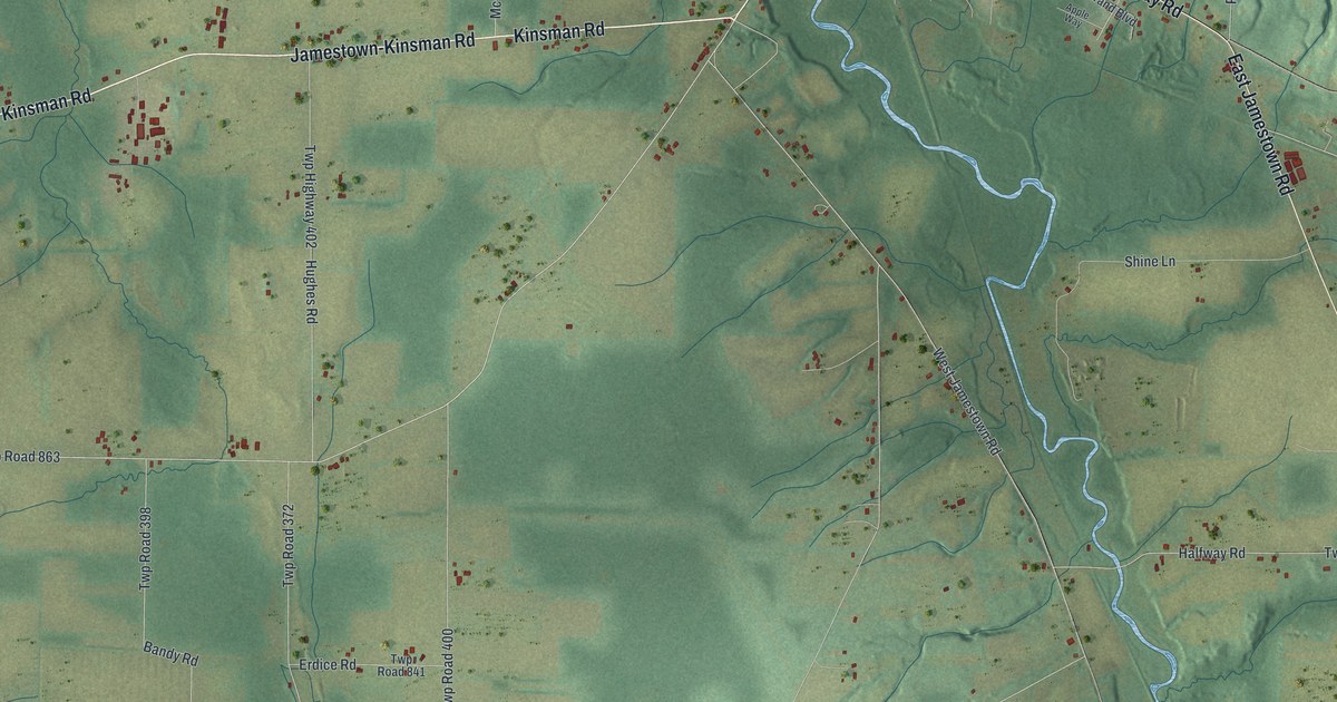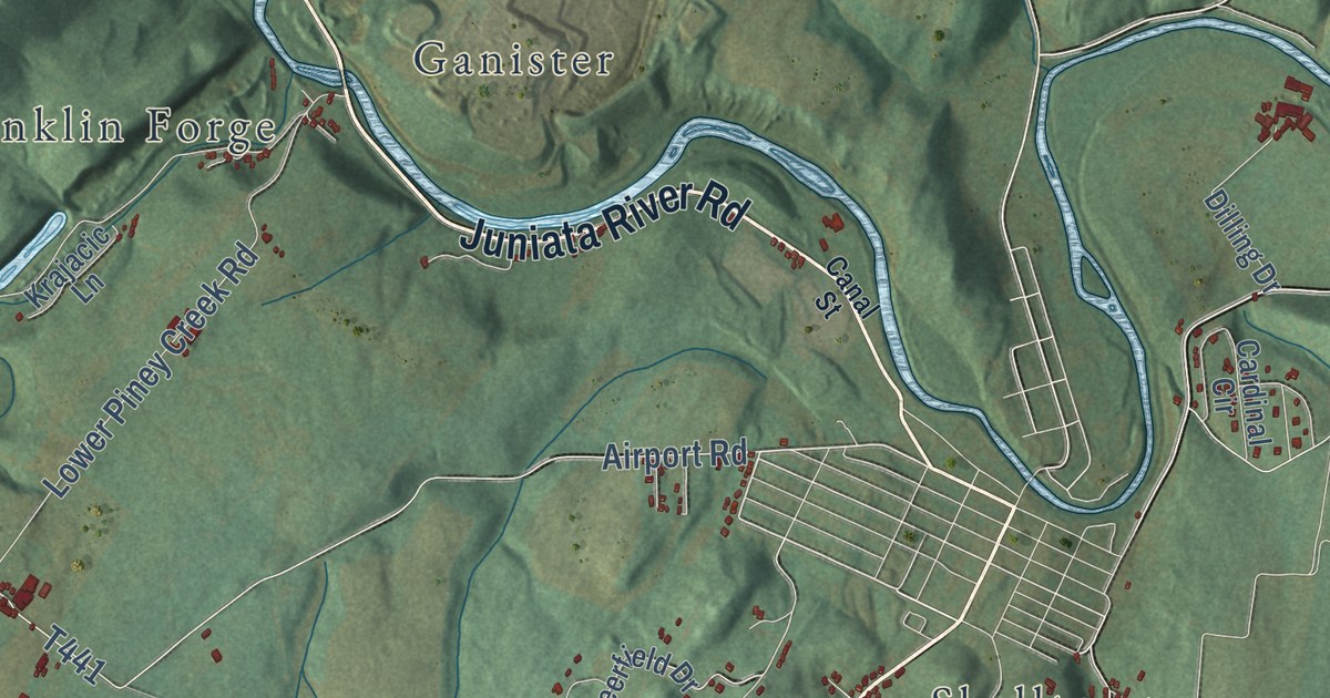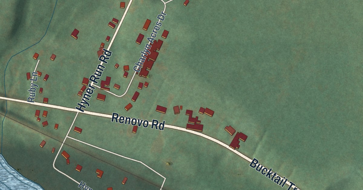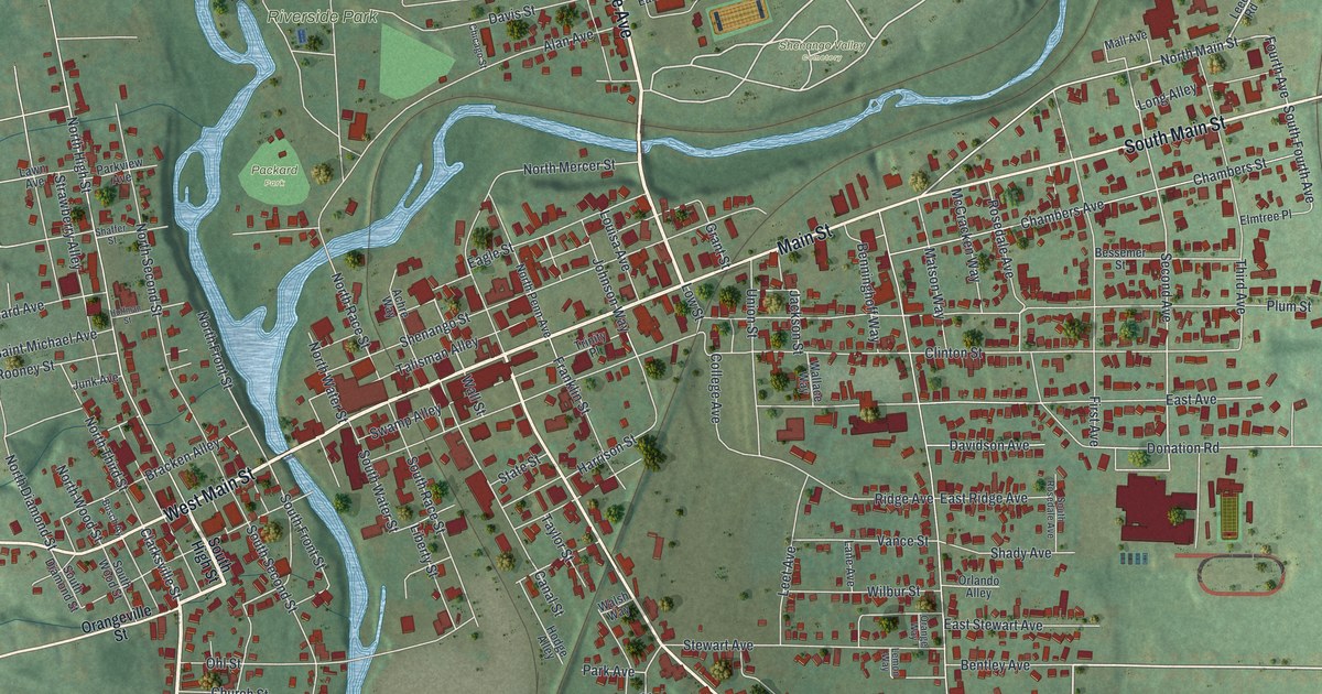
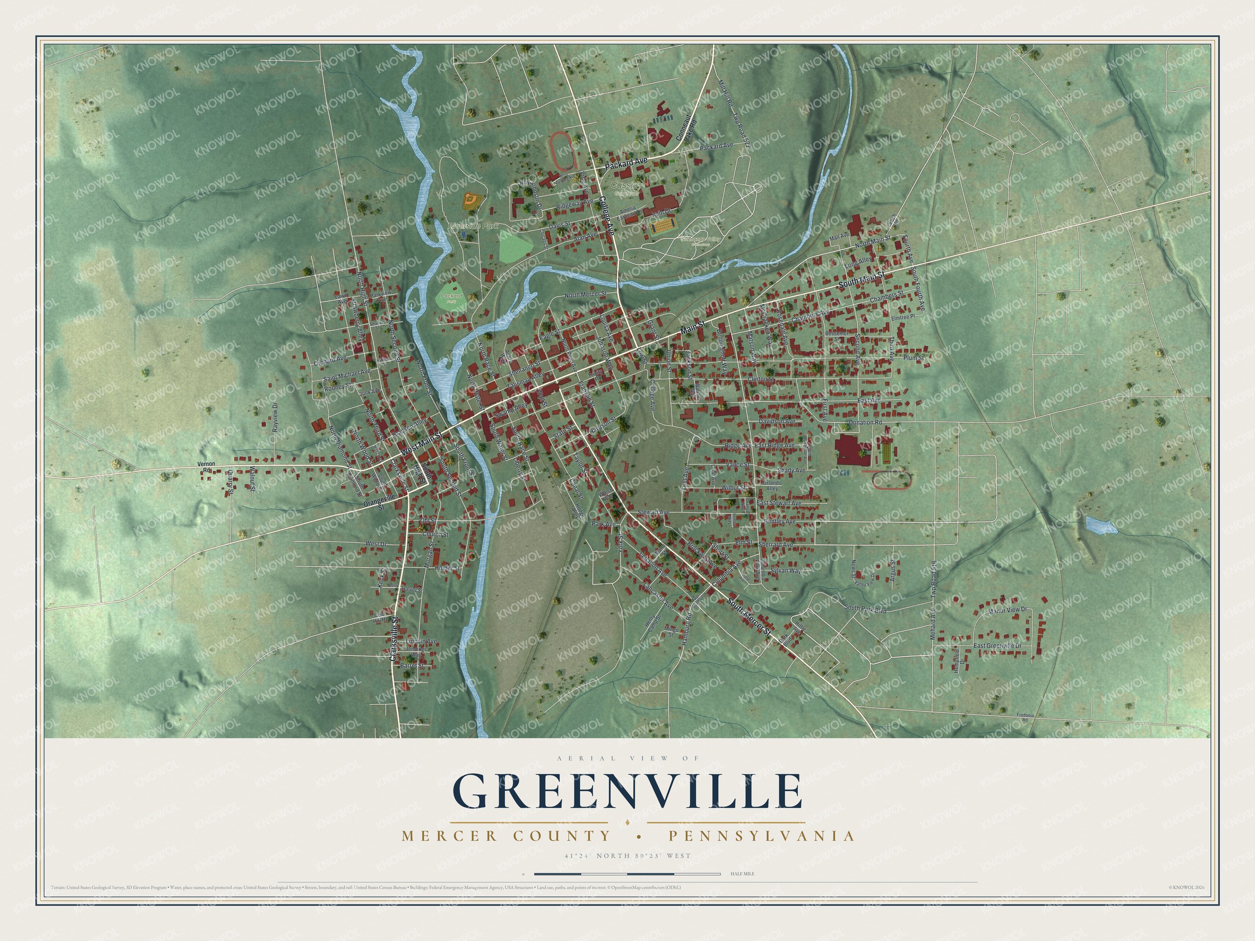
This beautifully detailed map of Greenville, Mercer County, Pennsylvania was created in 2026 using aerial imagery combined with modern topographical, census, street and landmark data. It’s a one-of-a-kind view of Greenville that combines accurate data with a vintage aesthetic. The map shows every building in its true location, many of the roads carry their names, and the shaded topographic relief shows the shape of the land.
Explore an aerial view of Greenville, Mercer County, Pennsylvania
On the map you’ll find Cassidy Gardens, Riverside Park, Shenango Valley Cemetery, and Packard Park, along with Clarksville Street, Packard Avenue, West Main Street, Main Street, South Mercer Street, South Main Street, College Avenue, North Main Street, and more. If you look closely you can even find your house accurately drawn in its correct location. Zoom in on the preview to look for yours.
Did you know this piece of Greenville, Mercer County, Pennsylvania history?
Greenville, in Mercer County, began as West Greenville, laid out in the late 1790s by the land agents Probst, Lodge and Walker. Tobias Shank bought the first lot and built a log tavern near the west end of the bridge, becoming the first innkeeper. He kept a canoe for foot travelers. The ford just below, where wagons crossed, carried his name for several years. That’s from the 1888 History of Mercer County, Pennsylvania.
Take a closer look at the Greenville, Mercer County map
Street and place names on the Greenville, Mercer County, Pennsylvania map
These names are printed on the map of Greenville, Mercer County, Pennsylvania.
Places: Cassidy Gardens, Riverside Park, Shenango Valley Cemetery and Packard Park.
Streets and roads: Clarksville Street, Packard Avenue, West Main Street, Main Street, South Mercer Street, South Main Street, College Avenue, North Main Street, South Fourth Avenue, Fourth Avenue, Wall Street, Second Avenue.
More street names, A to Z
Achre Way, Alan Avenue, Amelia Earheart Drive, Argus Street, Barret Street, Benninghoff Way, Bentley Avenue, Bessemer Street, Bracken Alley, Brockway Avenue, Busch Ay, Canal Street, Chambers Avenue, Chambers Street, Cherry Street, Chicago Street, Church Street, Clinton Street, Coal Hill Road, Columbia Avenue, Columbia Park Avenue, Conneaut Lake Road, Davidson Avenue, Davis Street, Donation Road, Eagle Street, East Avenue, East Greenville Drive, East Ridge Avenue, East Stewart Avenue, Elm Street, Elmtree Place, First Avenue, Franklin Street, Fredonia Road, Grant Street, Hamburg Road, Harrison Street, Hempfield Drive, Henry Camp Street, Hittle Avenue, Hodge Alley, Hoffman Street, Homer Street, Irvin Drive, Jackson Street, Jennings Way, Johnson Way, Junk Avenue, Keck Street, Lancaster Avenue, Lane Avenue, Lawn Avenue, Lebanon Avenue, Leech Road, Leet Avenue, Leever Street, Lemon Way, Liberty Street, Lincoln Avenue, Long Alley, Lorene Avenue, Louisa Avenue, Low Street, Mall Avenue, Mann Street, Manor View Drive, Matson Way, McCracken Way, Mehard Avenue, Mill Hill Road, Mingo Street, Morgan Street, News Street, North Diamond Street, North Front Street, North High Street, North Mercer Street, North Penn Avenue, North Race Street, North Second Street, North Third Street, North Water Street, North Wood Street, Ohl Street, Orangeville Street, Orange Way, Orchard Avenue, Orlando Alley, Park Avenue, Park Boulevard, Parkview Avenue, Plum Street, Quarry Street, Rayview Drive, Ridge Avenue, Ridgeway Avenue, Rooney Street, Rosedale Avenue, Roy Johnson Drive, Saint Michael Avenue, Shady Avenue, Shaffer Street, Shenango Street, Sherrard Avenue, Short Street, South Diamond Street, South Front Street, South High Street, South Park Boulevard, South Race Street, South Rosedale Avenue, South Second Street, South Water Street, South Wood Street, State Street, Stewart Avenue, Strawberry Alley, Swamp Alley, Sylvan Way, Talisman Alley, Taylor Street, Third Avenue, Trinity Place, Twp Road 470, Twp Road 516, Twp Road 522, Union Street, Valley View Drive, Vance Street, Vernon Road, Vine Avenue, Wallace Way, Walnut Street, Walsh Way, West Drive, West Packard Avenue, Wilbur Street, York Street.
See the Greenville, Mercer County, Pennsylvania map on a wall
The Greenville, Mercer County map as an 18 x 24 inch print in a black frame.

This beautifully detailed map of Greenville, Mercer County makes an attractive addition to your office, library, or den, and it can even be used to teach children the geography and history of the area. It also makes a great gift for someone who left Greenville and still calls it home. When you’re done exploring, click here to get your copy of the Greenville, Mercer County map.