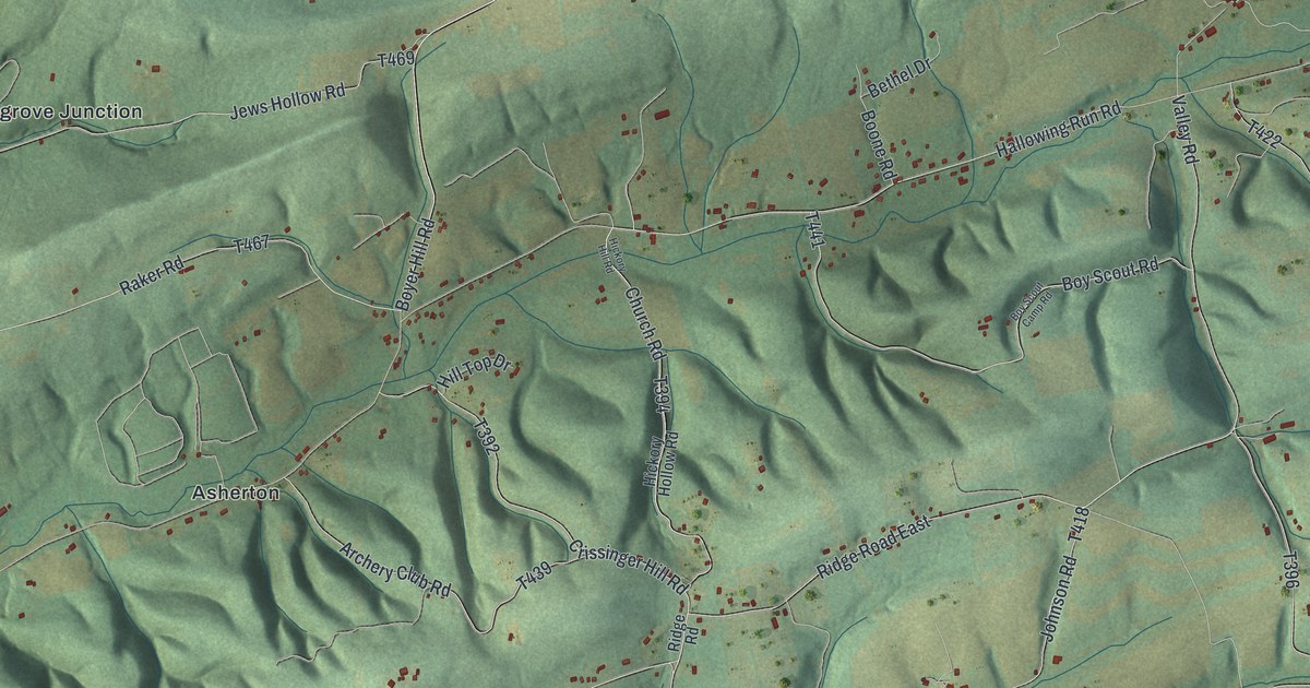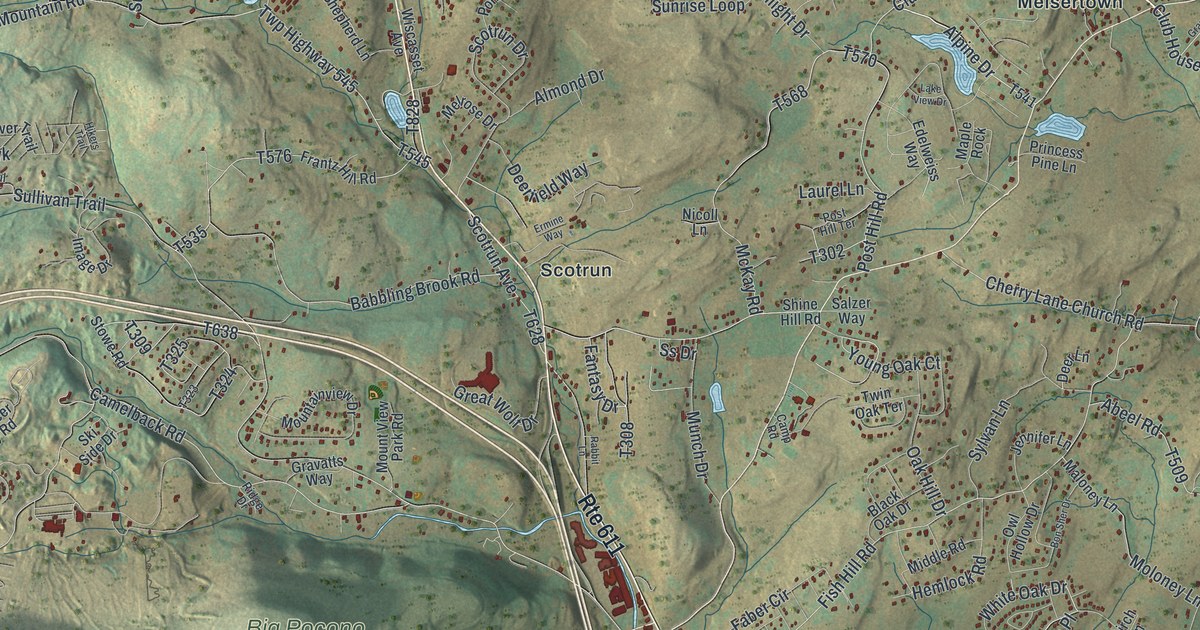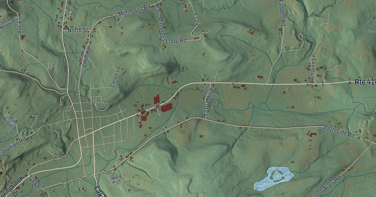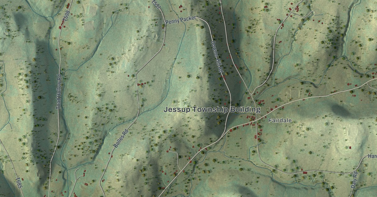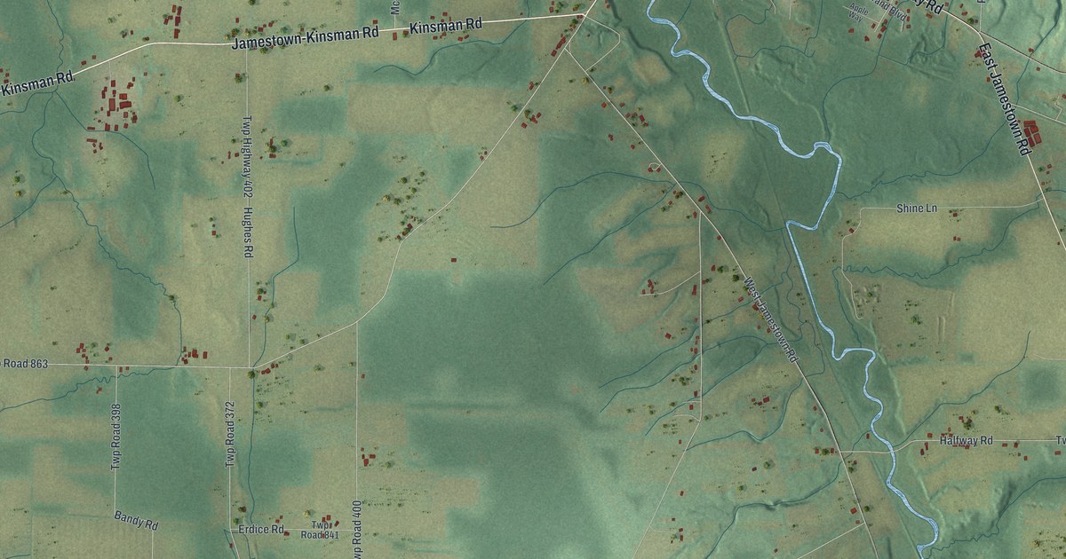
This beautifully detailed map of Greene, Mercer County, Pennsylvania was created in 2026 using aerial imagery combined with modern topographical, census, street and landmark data. It’s a one-of-a-kind view of Greene that combines accurate data with a vintage aesthetic. The map shows every building in its true location, many of the roads carry their names, and the shaded topographic relief shows the shape of the land.
Explore an aerial view of Greene, Mercer County, Pennsylvania
On the map you’ll find Twp Road 301, along with Kinsman Road, East Jamestown Road, Jamestown-Kinsman Road, Aspen Way Road, County Line Road, Steamburg Road, North State Line Road, State Line Road, Turner Mullen Road, Dowling Road, and more. If you look closely you can even find your house accurately drawn in its correct location. Zoom in on the preview to look for yours.
Did you know this piece of Greene, Mercer County, Pennsylvania history?
From the 1888 History of Mercer County, Pennsylvania: "Rev. John Betts, of Lancaster County, Penn., whose father, Andrew Betts, settled in Crawford County, near the State line, in 1800, located soon thereafter on the land in Greene Township where his sons, John K. and Calvin, now live."
Take a closer look at the Greene, Mercer County map
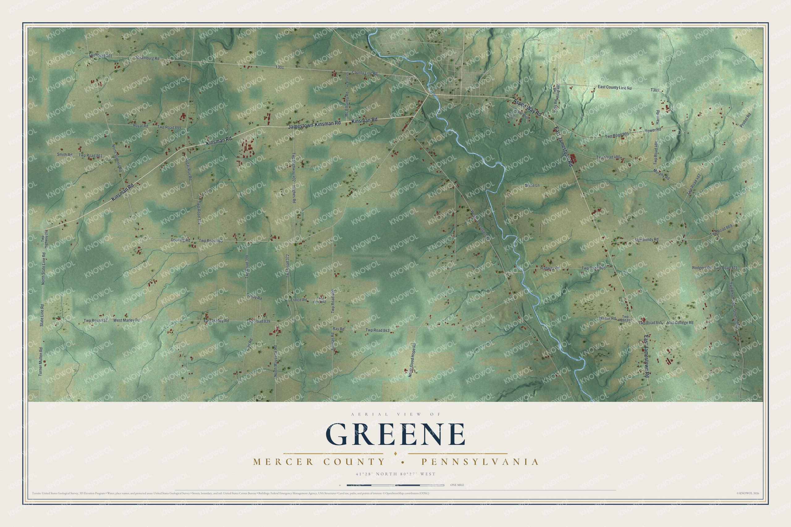
Street names on the Greene, Mercer County, Pennsylvania map
These names are printed on the map of Greene, Mercer County, Pennsylvania.
Streets and roads: Kinsman Road, East Jamestown Road, Jamestown-Kinsman Road, Aspen Way Road, County Line Road, Twp Road 301, Steamburg Road, North State Line Road, State Line Road, Turner Mullen Road, Dowling Road, Twp Road 863.
More street names, A to Z
Apple Way, Artman Road, Bandy Road, Carr Road, East County Line Road, East Marley Road, Erdice Road, Goetsch Road, Grand Boulevard, Halfway Road, Haun Road, Hughes Road, Mc Elhaney Road, Mud College Road, Murphy Road, North Good Hope Road, North Maysville Road, North Summit Road, Pitts Road, Probst Road, Ray Road, Rodgers Road, Royal Road, Sherbondy Road, Shine Lane, Smith Road, Sugar Run Road, Tower Road, Twp Highway 273, Twp Highway 402, Twp Road 372, Twp Road 374, Twp Road 398, Twp Road 400, Twp Road 404, Twp Road 460, Twp Road 480, Twp Road 482, Twp Road 484, Twp Road 530, Twp Road 837, Twp Road 839, Twp Road 841, Twp Road 843, Twp Road 845, Twp Road 847, Twp Road 861, Twp Road 865, Twp Road 869, Twp Road 871, Twp Road 899, Twp Road 905, Walter Road, West Jamestown Road, West Marley Road.
See the Greene, Mercer County, Pennsylvania map on a wall
The Greene, Mercer County map as an 18 x 24 inch print in a black frame.

This beautifully detailed map of Greene, Mercer County makes an attractive addition to your office, library, or den, and it can even be used to teach children the geography and history of the area. It also makes a great gift for anyone who grew up in Greene or moved away. When you’re done exploring, click here to get your copy of the Greene, Mercer County map.