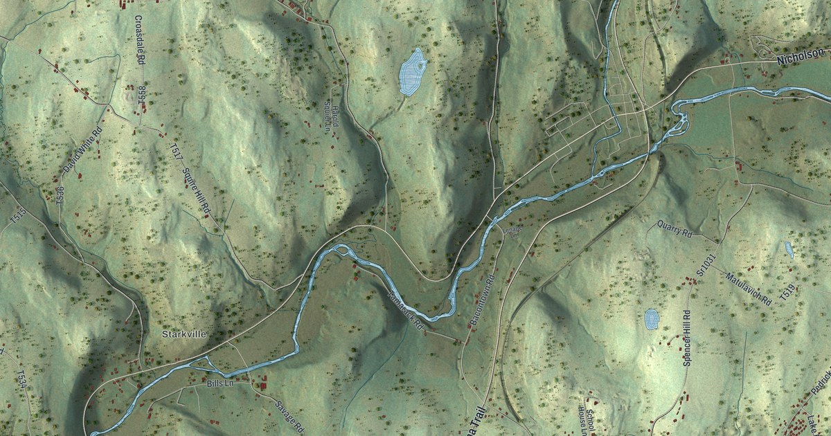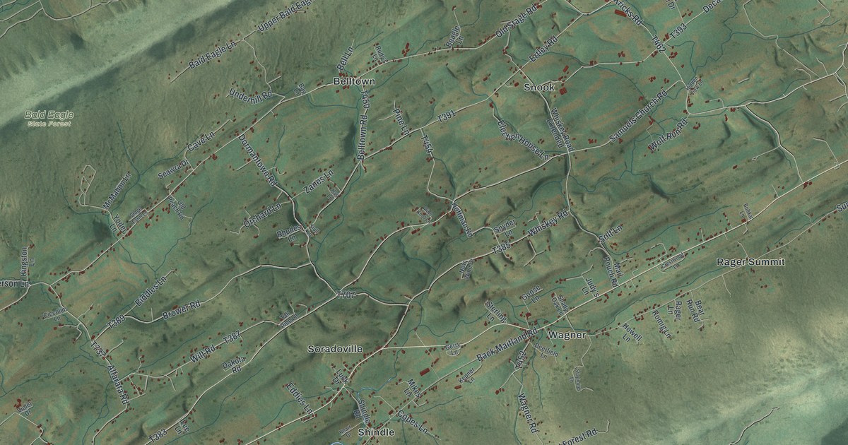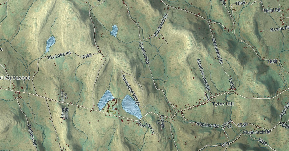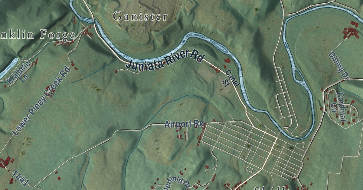
This beautifully detailed map of Woodbury, Blair County, Pennsylvania was created in 2026 using aerial imagery combined with modern topographical, census, street and landmark data. It’s a one-of-a-kind view of Woodbury that combines accurate data with a vintage aesthetic. The map shows every building in its true location, many of the roads carry their names, and the shaded topographic relief shows the shape of the land.
Explore an aerial view of Woodbury, Blair County, Pennsylvania
On the map you’ll find Royer, Carlim, Covedale, Fisherville, Franklin Forge, Ganister, Larke, Saint Clair, Shelltown, Shellytown, Springfield Junction, Wertz, and more. If you look closely you can even find your house accurately drawn in its correct location. Zoom in on the preview to look for yours.
Did you know this piece of Woodbury, Blair County, Pennsylvania history?
From the Bedford County 250: "In 1785, the township of Frankstown was divided roughly in half by a north-south line that followed the summits of Lock Mountain and the east branch of Brush Mountain. The eastern part that was removed from Frankstown received the name: Woodberry Township."
Take a closer look at the Woodbury, Blair County map
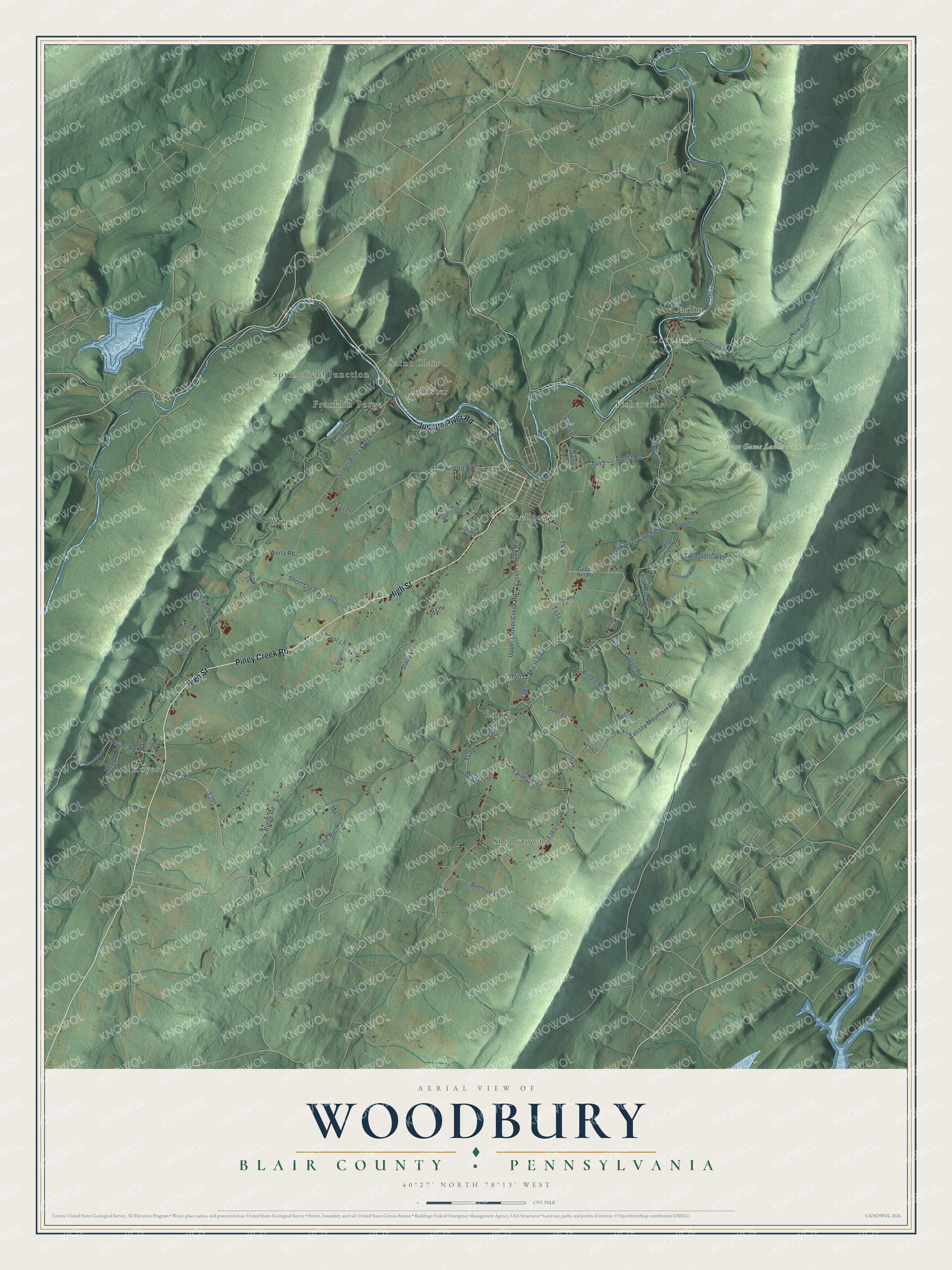
Street and place names on the Woodbury, Blair County, Pennsylvania map
These names are printed on the map of Woodbury, Blair County, Pennsylvania.
Places: Royer, State Game Lands Number 118, Wertz, Saint Clair, Shellytown, Larke, Shelltown, Carlim, Franklin Forge, Fisherville, Covedale, Springfield Junction and Ganister.
Streets and roads: Piney Creek Road, High Street, Juniata River Road, Royer Road, Larke Road, Mill Hill Road, Biddle Road, New Beginnings Road, Shultz Road, Lower Clover Creek Road, Upper Clover Creek Road, Ridge Road.
More street names, A to Z
Airport Road, Bear Ridge Lane, Beehive Lane, Blue Hole Road, Canal Street, Cardinal Circle, Cedar Hill Road, Clark Lane, Clover Creek Road, Covedale Road, Cove Forge Road, Deerfield Drive, Deer Run Road, Dempsey Lane, Dilling Drive, England Lane, Fairview Road, Greenleaf Drive, Heather Lane, Highpoint Drive, Hileman Drive, Houck Lane, Jd Lane, Krajacic Lane, Locust Lane, Lower Piney Creek Road, Mica Lane, Miller Drive, Mine Road, My Lane, Over Lane, Pearson Lane, Pond Drive, Roberts Lane, Rosser Road, Royer Mountain Road, Shady Tree Lane, Short Cut Road, Spring Lane, Stacy Lane, Troxell Road, Tussey Mountain Road, Twin Hollow Lane, Wertz Road, Weyandt Lane.
See the Woodbury, Blair County, Pennsylvania map on a wall
The Woodbury, Blair County map as an 18 x 24 inch print in a black frame.

This beautifully detailed map of Woodbury, Blair County makes an attractive addition to your office, library, or den, and it can even be used to teach children the geography and history of the area. It also makes a great gift for someone who left Woodbury and still calls it home. When you’re done exploring, click here to get your copy of the Woodbury, Blair County map.