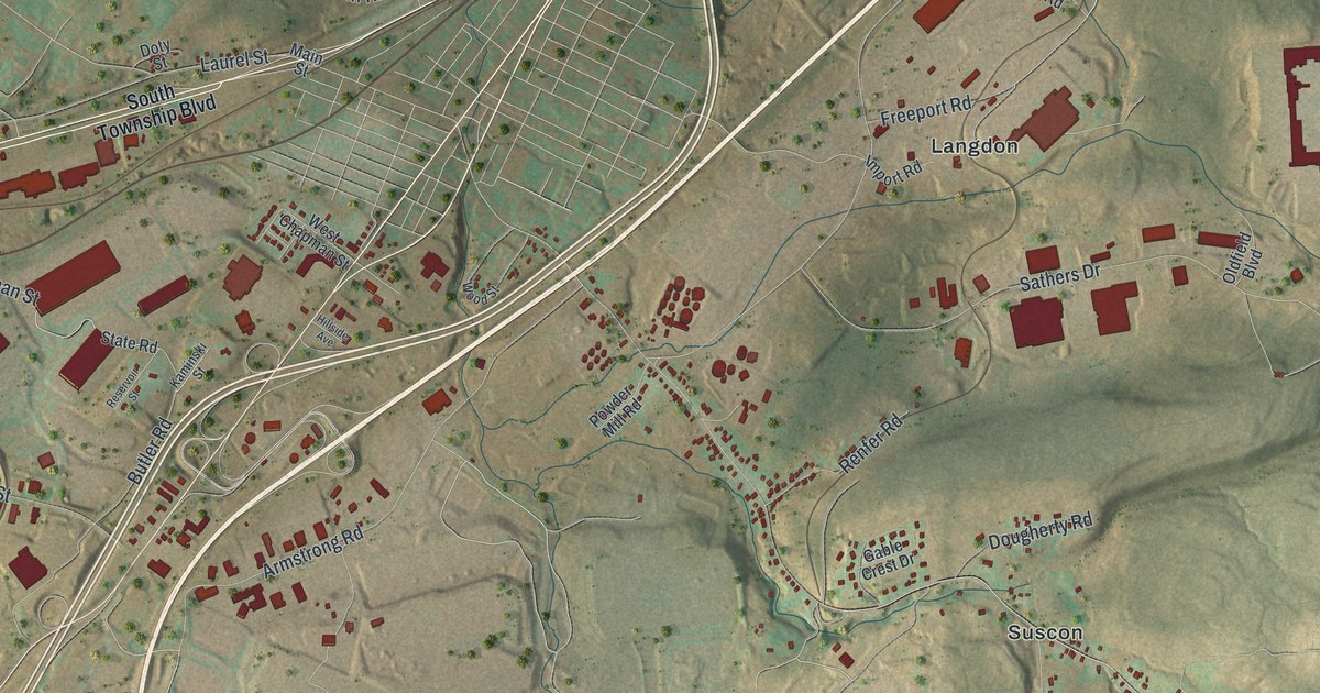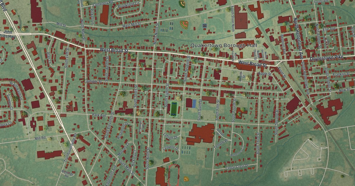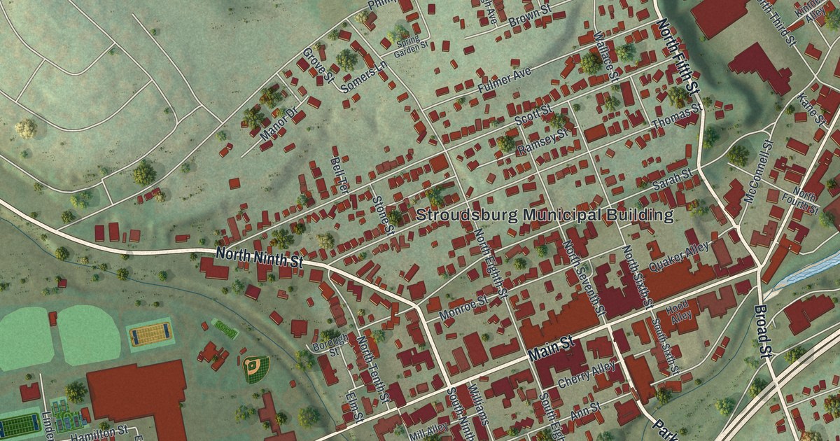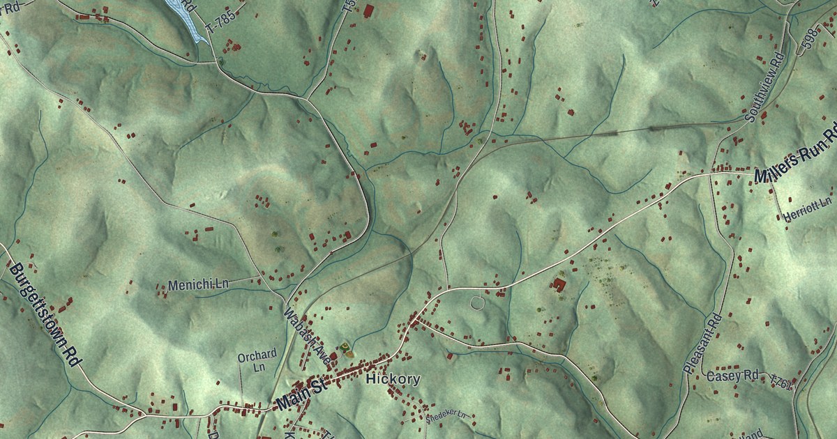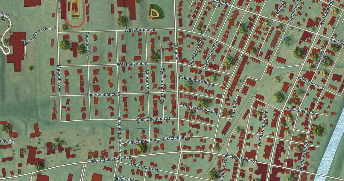
If you went to Susquehanna University, this print gives you a way to keep Selinsgrove close. It's a modern aerial view of Selinsgrove in Snyder County, Pennsylvania, made with modern data and a vintage feel. Red buildings fill the street grid, with green fields and blue water around them.
University Avenue and Susquehanna's early years
On this map you'll find North Market Street, South Market Street, University Avenue, Broad Street, West Pine Street, High School Drive, Bridge Street, Dogtown, Rotary Field, Major Anthony Selin Park, and more. Each red shape is a building, so zoom in on the preview and look for yours.
Susquehanna University's historical marker tells how the school began in 1858. The Evangelical Lutheran Church founded it as the Missionary Institute and Susquehanna Female College. It took the name Susquehanna University in 1895. The marker's location is University Avenue, a name you can find on this map. West University Avenue and Sus Univ College Circle give you more names to look for around the school's part of town.
Keep Selinsgrove and University Avenue close
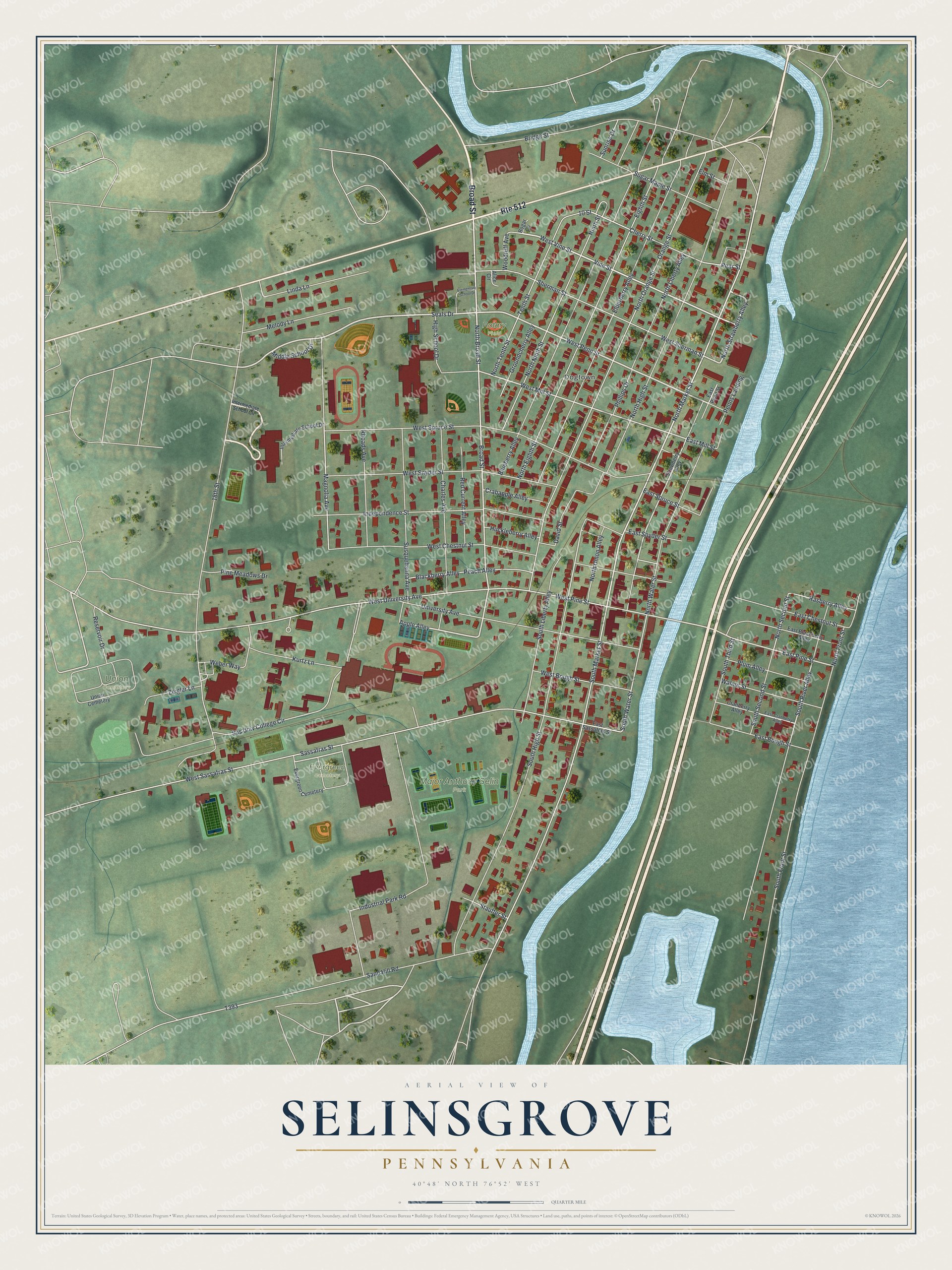
Created by KNOWOL in 2026, the print pairs soft green land with pale blue water and deep red buildings. A cream border surrounds the view. The title panel reads AERIAL VIEW OF, SELINSGROVE, PENNSYLVANIA, with 40°48' NORTH 76°52' WEST below.
Hang it in a living room, office or entryway. It's a gift for a Susquehanna University graduate or someone who grew up near North Market Street. Open the preview and take a closer look at the streets you know. See sizes and frames for the Selinsgrove map.