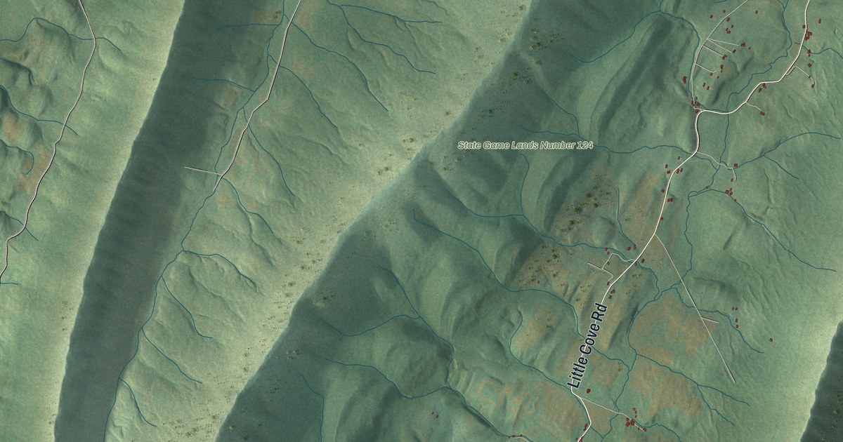
If you grew up near Sylvan, you'll know the names on this print. This modern aerial view of Warren in Franklin County, Pennsylvania pairs modern data with a vintage feel. Long green ridges frame narrow valleys, with small red buildings beside pale roads. Sylvan and Yeakle Mill stand out among the printed names.
Sylvan and the mills on Cove Creek
On this map you'll find Little Cove Road, Sylvan, Yeakle Mill, Forge Road, Fort Davis Road, Sylvan Drive, Red Rock Road, Mill Drive, Furnace Road, Cove Road, Dyer Road, and more. Each red shape is a building, so zoom in on the preview and look for yours.
Sylvan's mill story reaches back well before the stone mill of 1838. The 1887 History of Franklin County describes a farm beside Sylvan. It held a mill built by David John, the first on Cove Creek. That early mill made cheap feed. A log gristmill took its place. In 1838, Jacob Zimmerman replaced it with a stone mill. The new mill had three stories and a basement. Look for Sylvan on the print to place this story in the valley.
A Warren print with Sylvan and Yeakle Mill
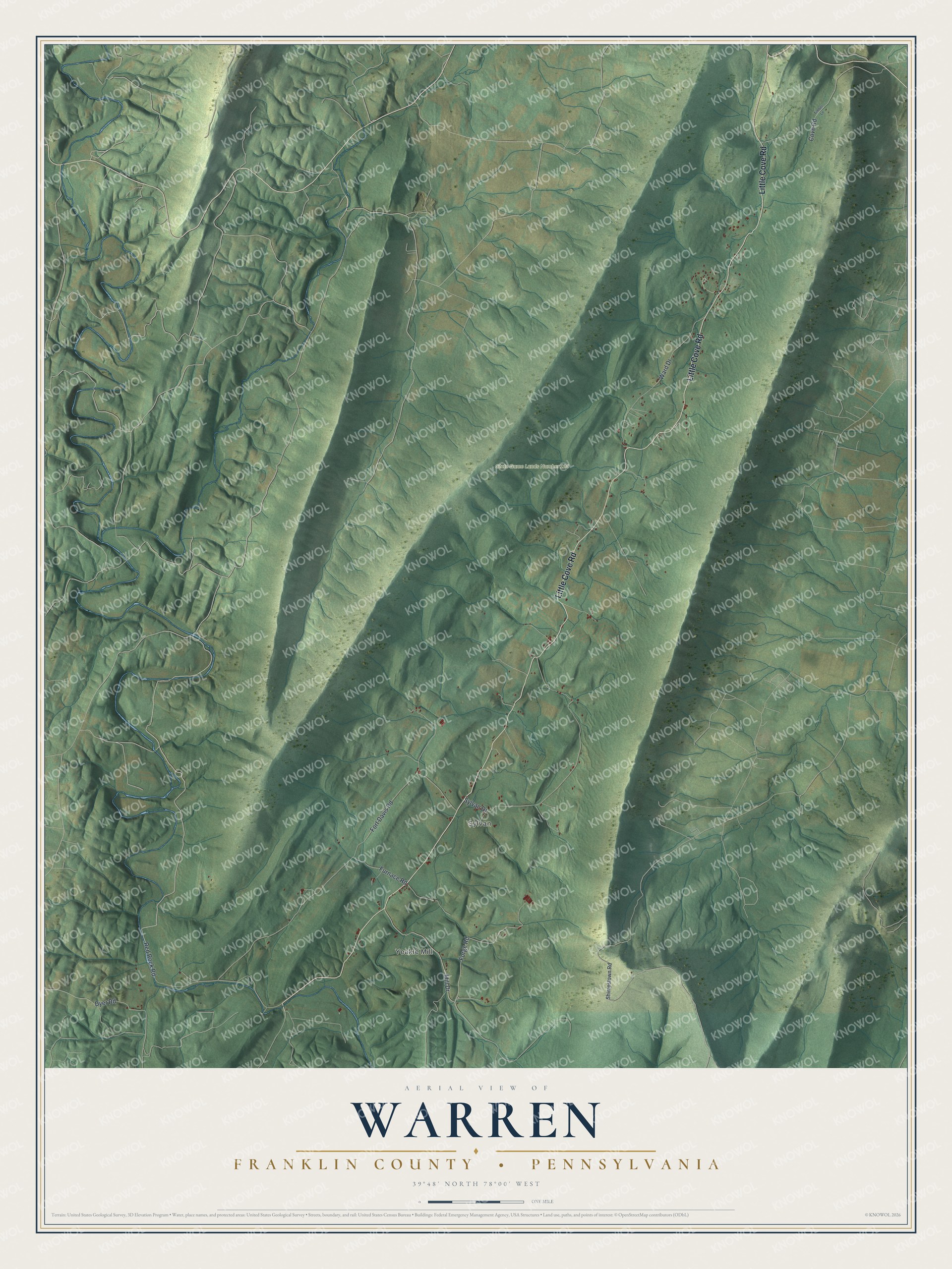
Created by KNOWOL in 2026, the print uses shaded green hills, blue streams, pale roads and red buildings. A cream border surrounds the view. The title panel reads AERIAL VIEW OF WARREN, FRANKLIN COUNTY • PENNSYLVANIA, with 39°48' NORTH 78°00' WEST below.
It's a natural fit for a living room, office or entryway. Give it to someone with family in Sylvan as a way to keep home close. Open the preview and look for the roads you know. See sizes and frames for the Warren, Franklin County map.