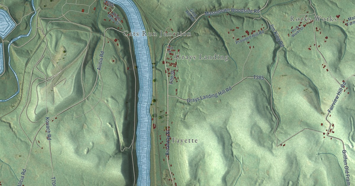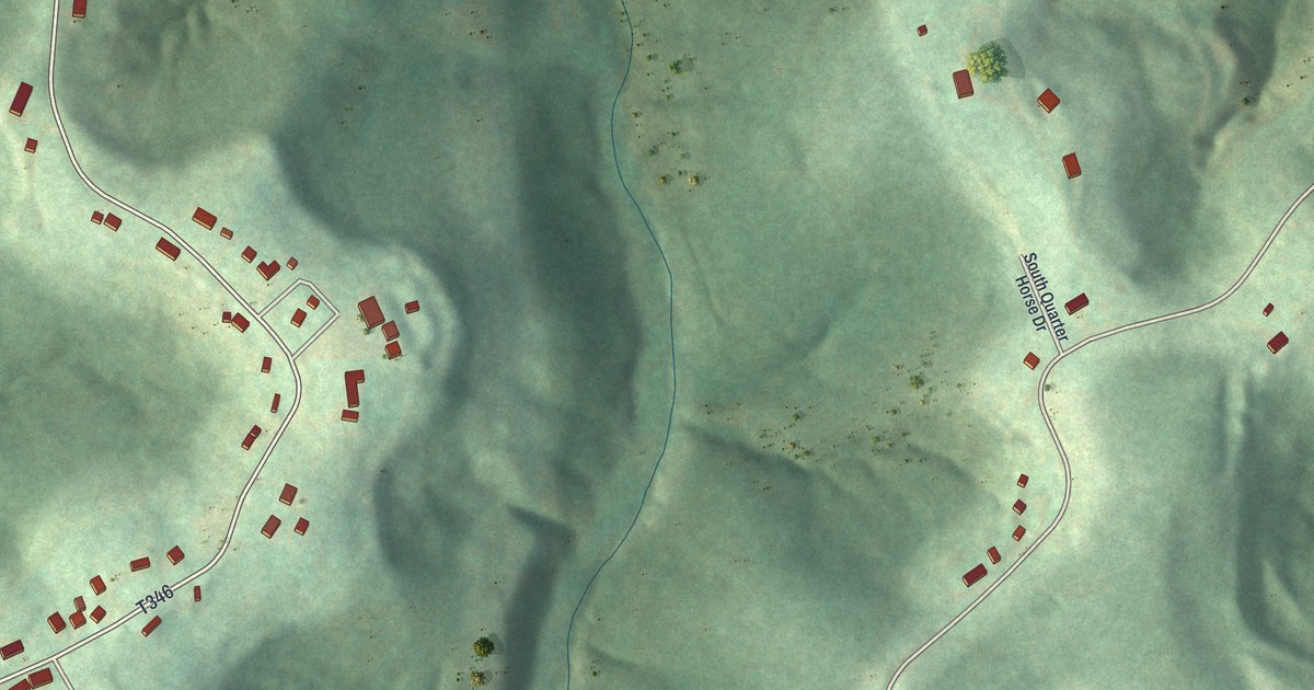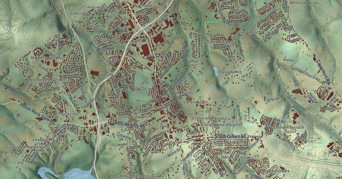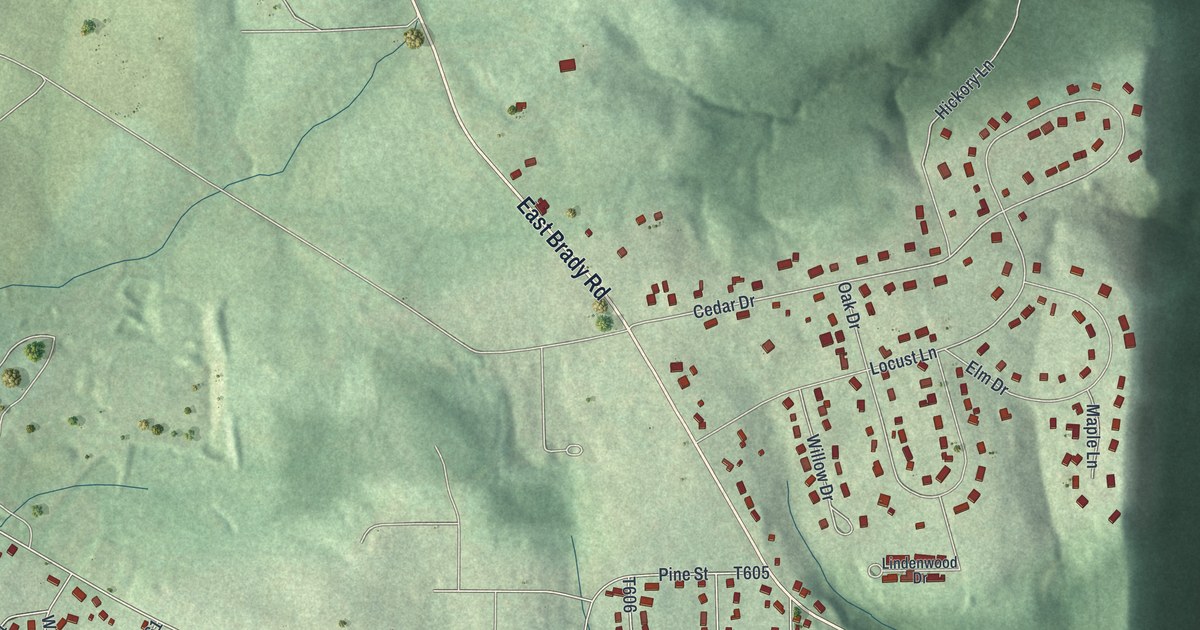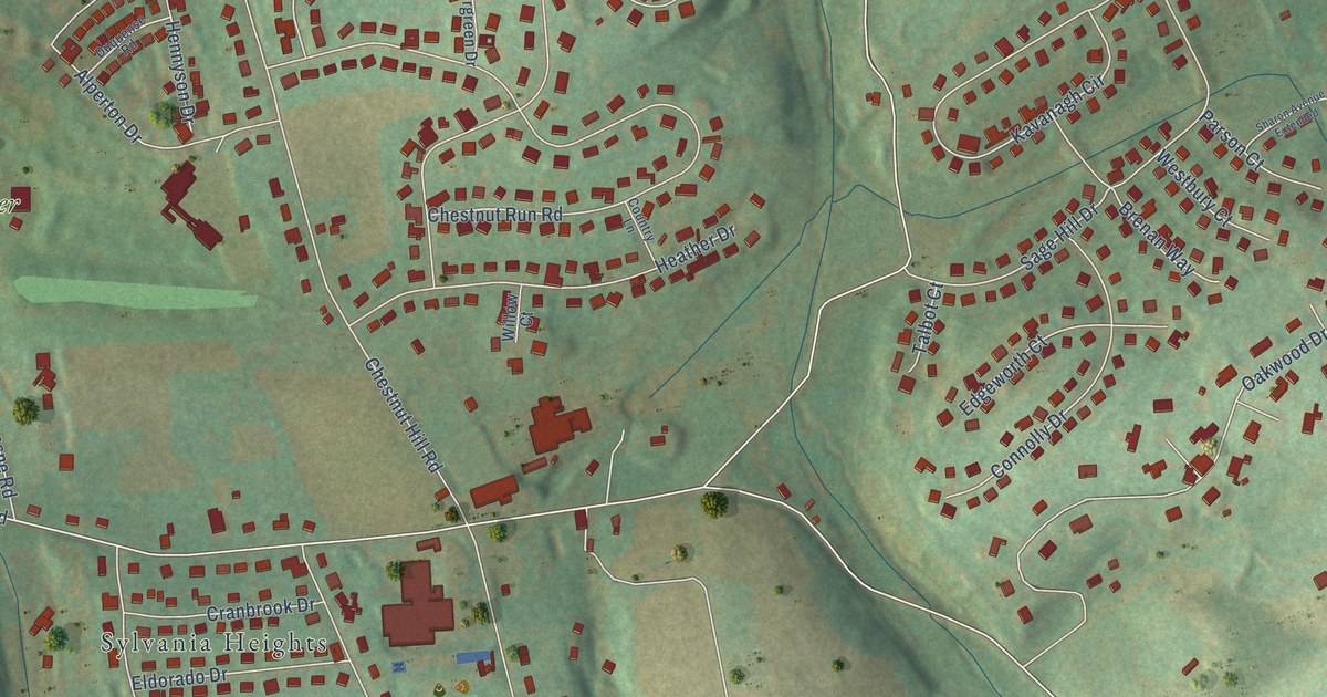
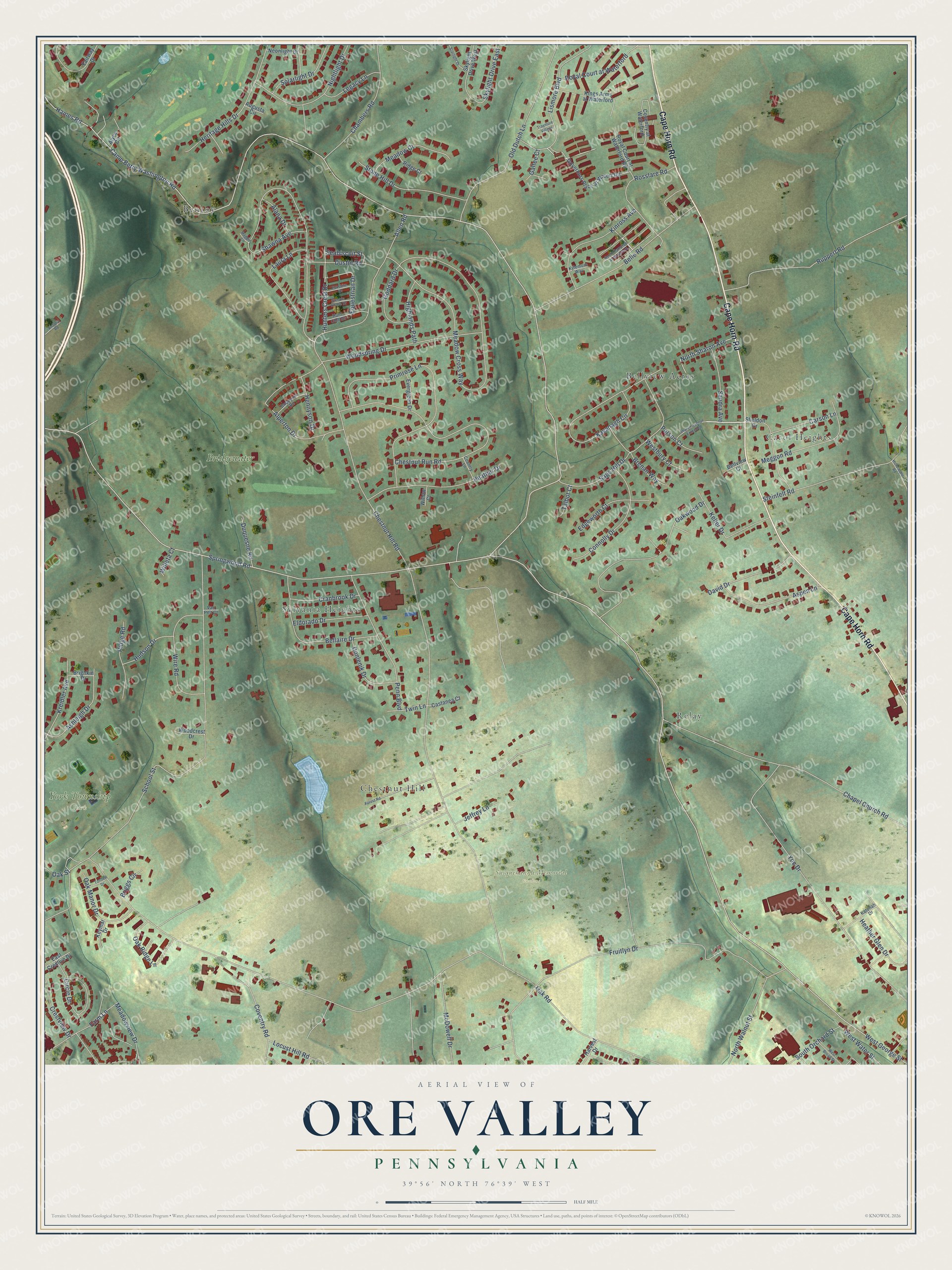
This beautifully detailed map of Ore Valley, Pennsylvania was created in 2026 using aerial imagery combined with modern topographical, census, street and landmark data. It’s a one-of-a-kind view of Ore Valley that combines accurate data with a vintage aesthetic. The map shows every building in its true location, many of the roads carry their names, and the shaded topographic relief shows the shape of the land.
Explore an aerial view of Ore Valley, Pennsylvania
On the map you’ll find Susquehanna Memorial Gardens, York Township Park, Bellview Acres, Relay, Benroy, Sylvania Heights, Chestnut Hill, Carol Heights, and Bridgewater, along with Cape Horn Road, Shawna Avenue, Springwood Road, and more. If you look closely you can even find your house accurately drawn in its correct location. Zoom in on the preview to look for yours.
Did You Know?
From Internet Archive: "What is known as Ore Valley, extending into York Township, has yielded ore in large quantities at different places."
Ore Valley is a community in York County.
Take a closer look at the Ore Valley map
Names on this map
These names are printed on this map.
Places: Susquehanna Memorial Gardens, York Township Park, Bellview Acres, Relay, Benroy, Sylvania Heights, Chestnut Hill, Carol Heights and Bridgewater.
Streets and roads: Cape Horn Road, Shawna Avenue, Springwood Road, Camp Betty Washington Road, Chestnut Hill Road, Oak Road, School Street, Fruitlyn Drive, Meadow Cross Way, Yoe Drive, Chestnut Run Road, Chapel Church Road.
More street names, A to Z
Alana Drive, Allen Road, Alperton Drive, Alyce Circle, Ashleigh Drive, Aspen Lane, Augusta Circle, Bellaire Drive, Belle Road, Bellview Court, Brenan Way, Briggs Circle, Brighkin Drive, Carson Lane, Castanea Court, Chambers Road, Circle Drive, Connolly Drive, Country Lane, Coventry at Waterford, Coventry Road, Cranbrook Drive, Crestview Drive, David Drive, Donlenik Drive, Duquense Road, Duquesne Road, Dustin Road, East Crestlyn Drive, Edgeworth Court, Eldorado Drive, Equestrian Drive, Evergreen Drive, Fairway Drive, Farm Lane, Forest Road, Foxshire Drive, Galtee Court, Goddard Drive, Governors Place at Waterf Road, Haines Road, Harvest Drive, Heather Drive, Heather Glen Drive, Hennyson Drive, Heritage Hills Drive, Highlands Path, Holtzapple Road, Hudson Drive, Hunt Club Drive, Hunters Crest Drive, Jeffrey Lane, Katonah Drive, Kavanagh Circle, Keller Drive, Keymar Drive, Kings Arms at Waterford, Kinross Avenue, Kreidler Avenue, Kylemore Way, Laura Lane, Legacy Lane, Lismore Boulevard, Locust Hill Road, Maggie Circle, McDowell Drive, Meadow Court, Meadowview Drive, Meggon Road, Neonlight Drive, Nightlight Drive, North Sharon Avenue, North Walnut Street, Oak Manor Drive, Oak Ridge Lane, Oak Street, Oakwood Drive, Old Dutch Lane, Parson Court, Penn Boulevard, Primrose Lane, Ridge Court, Ridge Road, Rosslare Road, Royal Court at Waterford, Royal Court at Waterford Road, Ruppert Road, Sage Hill Drive, Sandra Avenue, Seabiscuit Street, Sharon Avenue Extended, Sheldon Drive, Skylight Drive East, Skylight Drive West, Solarlight Drive, South Hampton at Waterford, South Orchard Street, Starlight Drive, Steeple Chase Drive, Steinfelt Road, Stone Hill Drive, Talbot Court, Tonden Drive, Traymore Village, Twin Lane, Van Pelt Court, Victoria Road, West Broad Street, Westbury Court, West George Street, West Water Street, Willeta Court, Willow Court, Wire Road, Woodcrest Drive, Woodspring Drive.
See it on a wall
The Ore Valley map as a framed print. Swipe for more.


This beautifully detailed map of Ore Valley makes an attractive addition to your office, library, or den, and it can even be used to teach children the geography and history of the area. It also makes a great gift for anyone who grew up in Ore Valley or moved away. When you’re done exploring, click here to get your copy of the Ore Valley map.