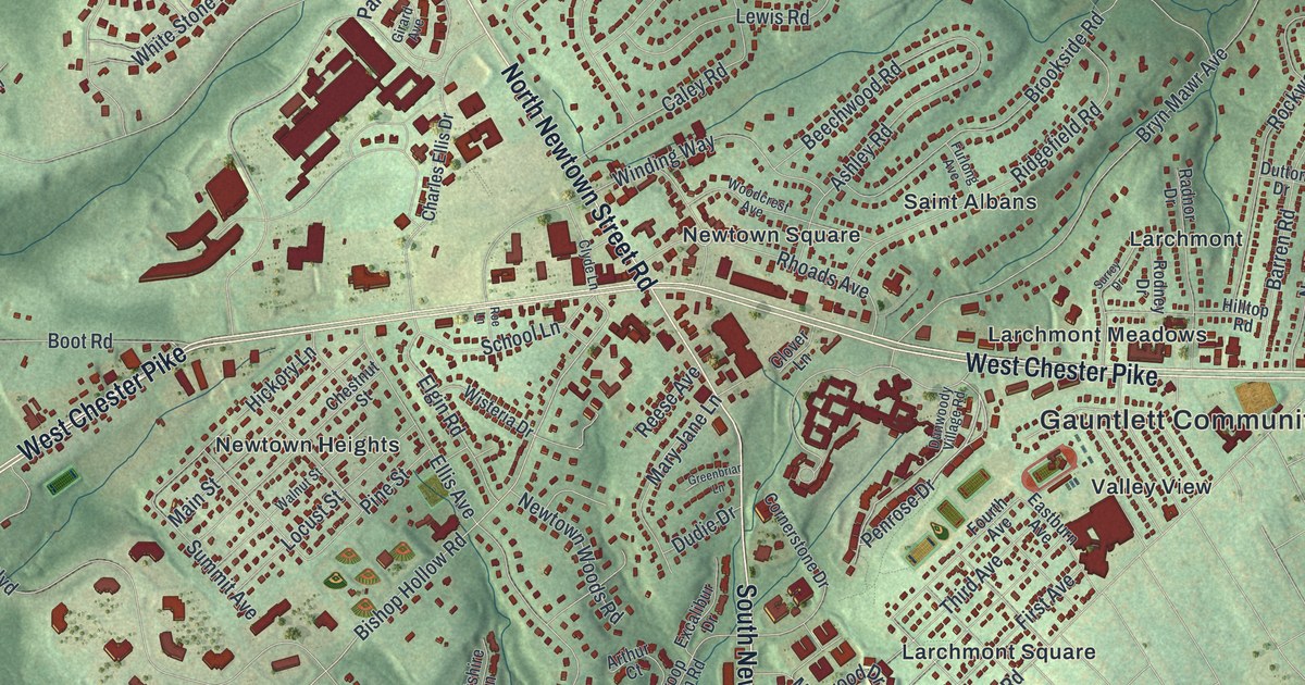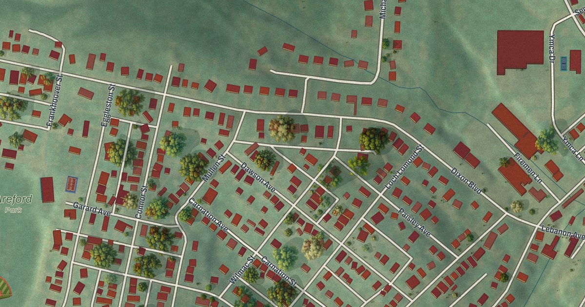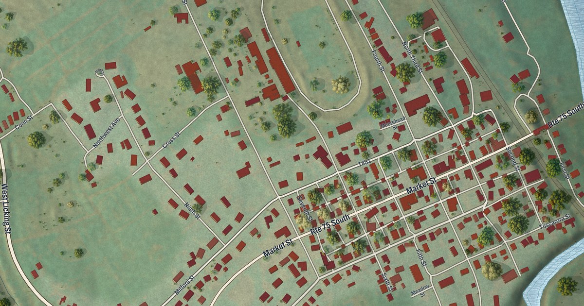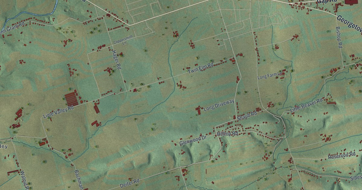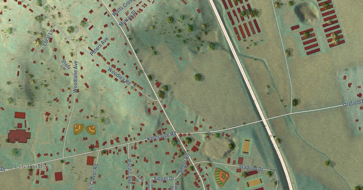
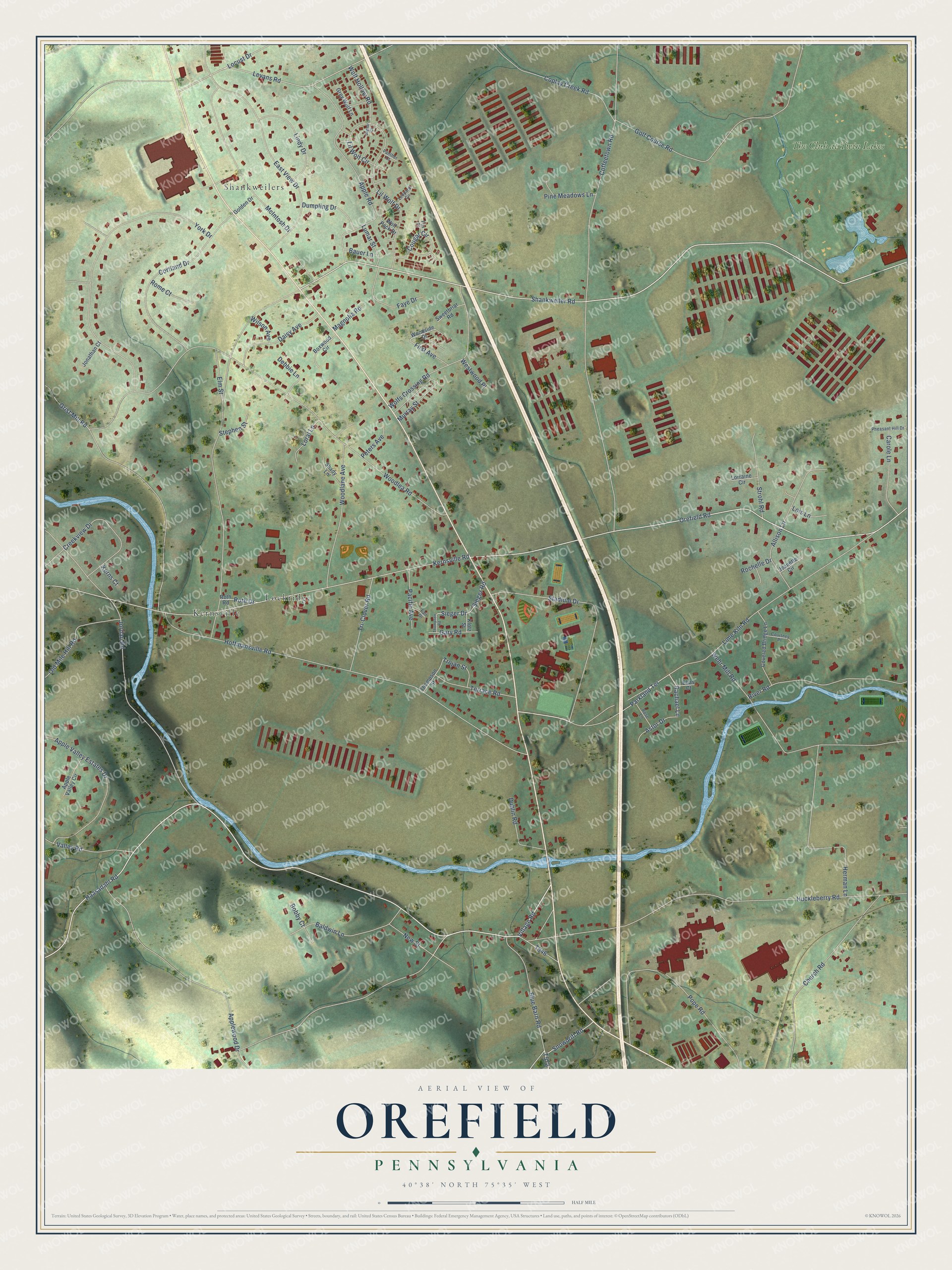
This beautifully detailed map of Orefield, Pennsylvania was created in 2026 using aerial imagery combined with modern topographical, census, street and landmark data. It’s a one-of-a-kind view of Orefield that combines accurate data with a vintage aesthetic. The map shows every building in its true location, many of the roads carry their names, and the shaded topographic relief shows the shape of the land.
Explore an aerial view of Orefield, Pennsylvania
On the map you’ll find Kernsville, Shankweilers, Lockridge, and The Club at Twin Lakes, along with Shankweiler Road, Orefield Road, Parkland Terrace, Rachael Lane, Huckleberry Road, Jordan Road, Coffeetown Road, and more. If you look closely you can even find your house accurately drawn in its correct location. Zoom in on the preview to look for yours.
Did You Know?
From the 1914 History of Lehigh County, Pennsylvania: "A post office was established here in 1833 by the name of Siegersville, but this was changed to Orefield about H840 to prevent confusion with Saegersville."
Orefield is a community in Lehigh County.
Take a closer look at the Orefield map
Names on this map
These names are printed on this map.
Places: Kernsville, Shankweilers, Lockridge and The Club at Twin Lakes.
Streets and roads: Shankweiler Road, Orefield Road, Parkland Terrace, Rachael Lane, Huckleberry Road, Jordan Road, Coffeetown Road, Woodlea Road, Grist Mill Road, Kernsville Road, Lime Kiln Road, Hoffmansville Road.
More street names, A to Z
Allison Lane, Apple Road, Apple Valley Circle, Apple Valley Estates Drive, Applewood Drive, Astor Drive, Baldwin Lane, Bauer Lane, Blue Barn Road, Bobby Court, Boxwood Circle, Carole Lane, Church Road, Coplay Creek Road, Cortland Drive, Cougar Circle, Courtney Place, Covered Bridge Lane, Creekview Drive, Daisy Avenue, Debbie Lane, Dublin Road, Dumpling Drive, East View Drive, Elias Court, Elm Street, Fair Drive, Faye Drive, First Avenue, Fox Court, Gary Road, Golden Drive, Golf Course Road, Grey Wolf Lane, Haasadahl Road, Herman Lane, Jaguar Court, Jeanette Circle, Jonathan Court, Kerns Court, Klotz Street, Leopard Circle, Levans Road, Lil Wolf Circle, Lil Wolf Drive, Lindy Drive, Locust Drive, Lois Lane, Loral Lane, Lorraine Circle, Lumar Street, Magnolia Road, McIntosh Drive, Murray Street, New Street, Old Mile Hill Road, Pacific Avenue, Panther Court, Peters Avenue, Pheasant Hill Drive, Pine Meadows Lane, Pope Road, River Road, Rochelle Drive, Rome Court, Rose Lane, Roth Drive, Roth Road, Shady Lane, Sieger Drive, Sieger Road, Snowdrift Road, Stadium Drive, Stephen Street, Strohl Road, Sweetbriar Road, Terrace Road, Thompson Road, Thompson Street, Tri-Clover Road, Trojan Street, Valley Road, Village Road, Wehr Mill Road, Westwood Place, Wilson Avenue, Wolf Hollow Road, Wolf Pack Drive, Wolfs Crossing Road, Woodlane Avenue, Woodside Drive, York Drive.
See it on a wall
The Orefield map as a framed print. Swipe for more.


This beautifully detailed map of Orefield makes an attractive addition to your office, library, or den, and it can even be used to teach children the geography and history of the area. It also makes a great gift for someone who left Orefield and still calls it home. When you’re done exploring, click here to get your copy of the Orefield map.