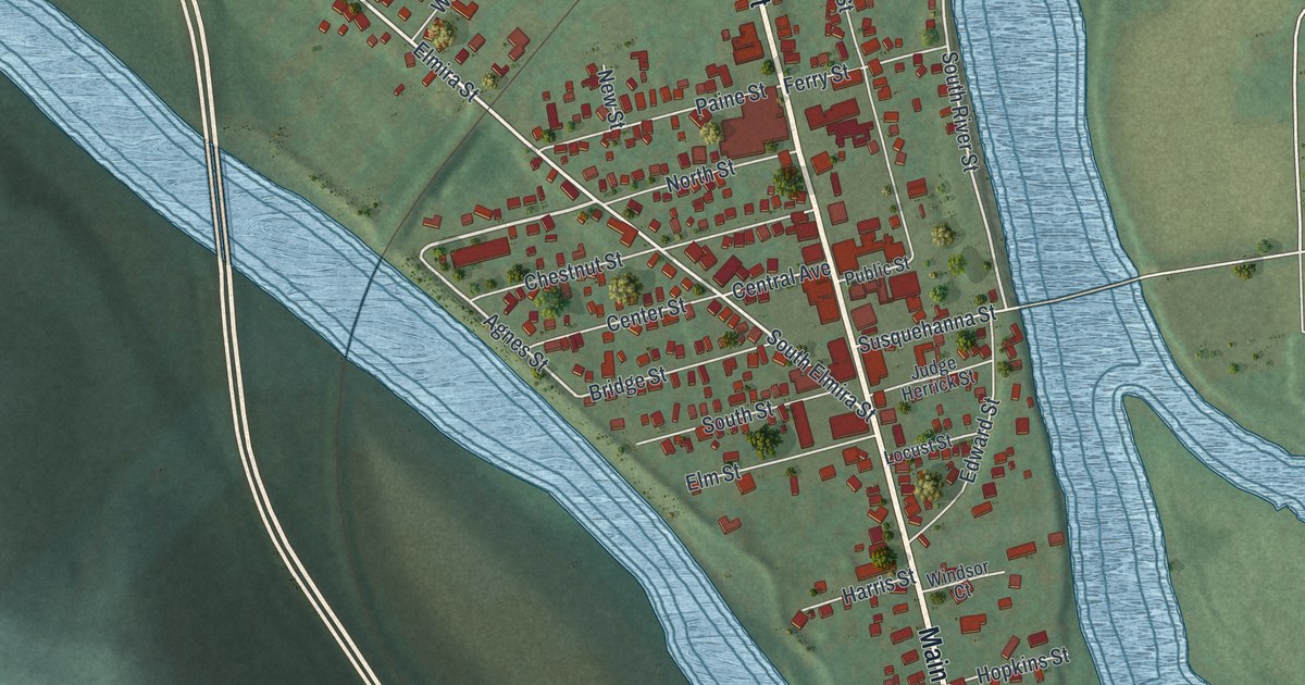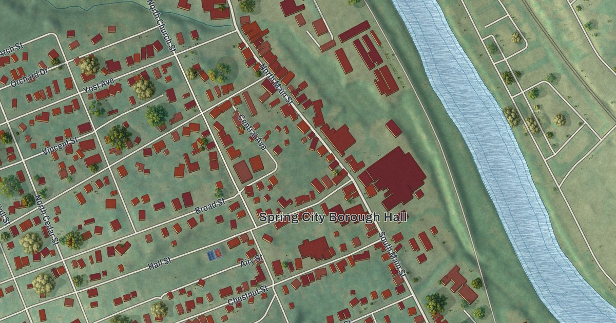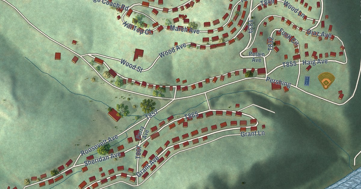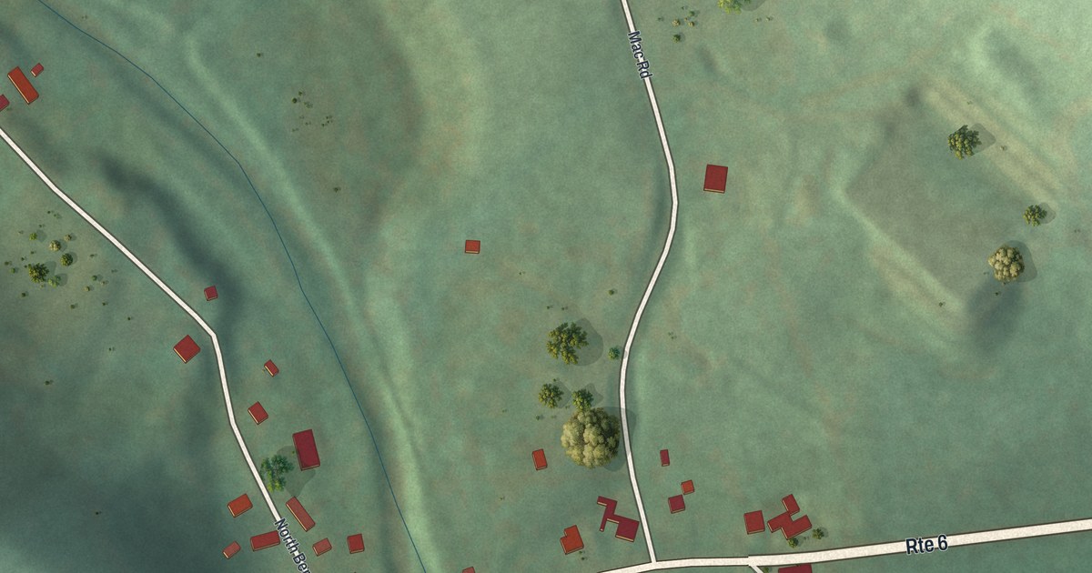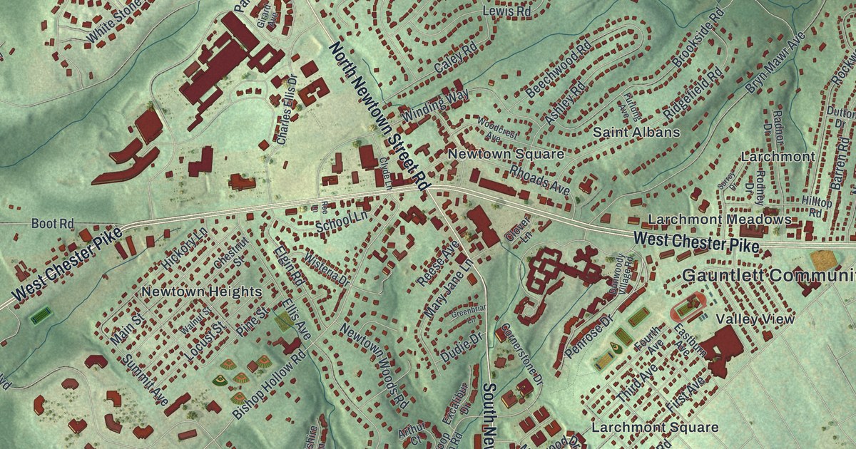
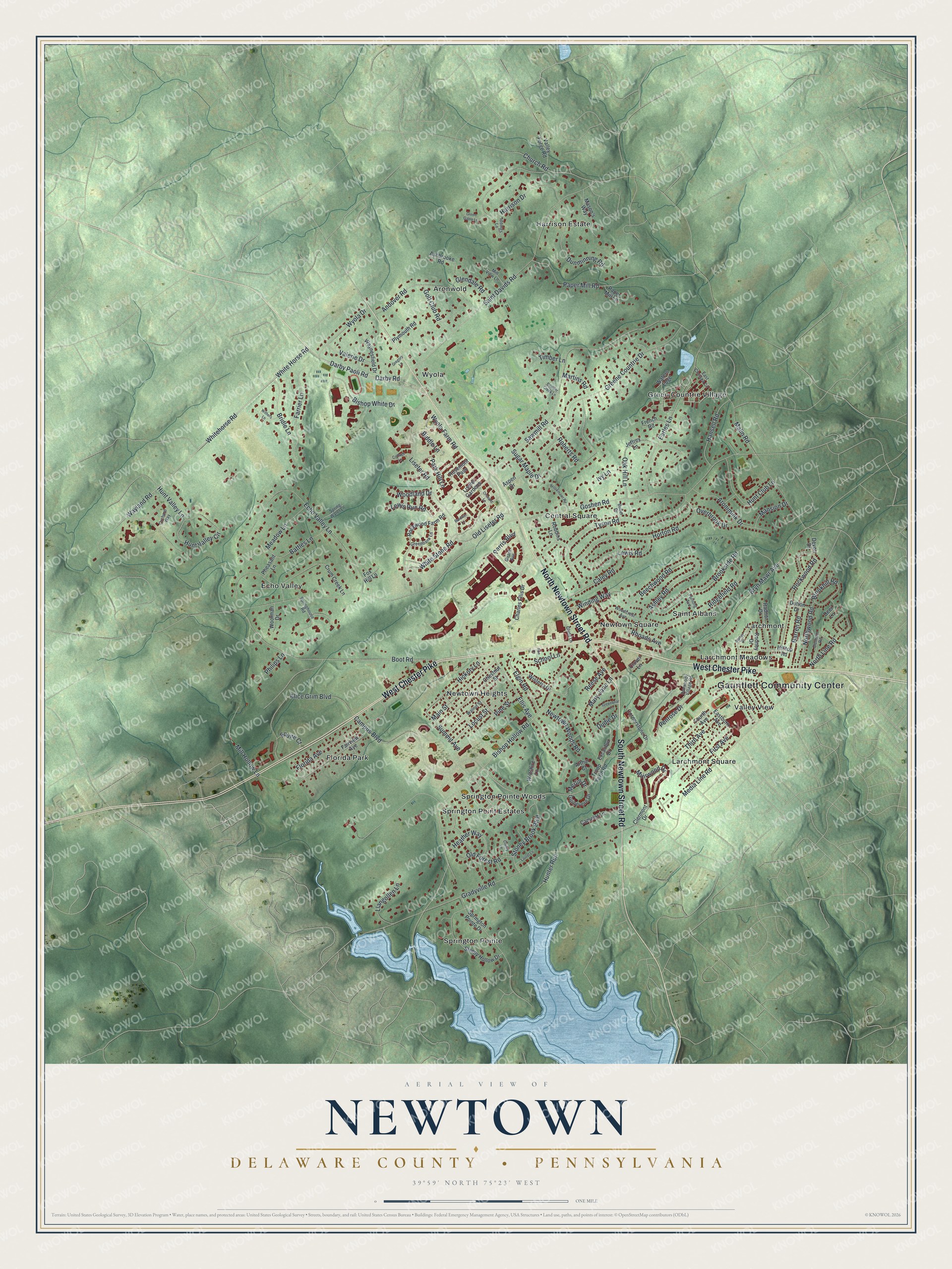
This beautifully detailed map of Newtown, Delaware County, Pennsylvania was created in 2026 using aerial imagery combined with modern topographical, census, street and landmark data. It’s a one-of-a-kind view of Newtown that combines accurate data with a vintage aesthetic. The map shows every building in its true location, many of the roads carry their names, and the shaded topographic relief shows the shape of the land.
Explore an aerial view of Newtown, Delaware County, Pennsylvania
On the map you’ll find Gauntlett Community Center, Aronwold, Central Square, Echo Valley, Florida Park, Green Countrie Village, Harrison Estate, Larchmont, Larchmont Meadows, Larchmont Square, Newtown Heights, Newtown Square, and more. If you look closely you can even find your house accurately drawn in its correct location. Zoom in on the preview to look for yours.
Did you know this piece of Newtown, Delaware County, Pennsylvania history?
From the 1884 History of Delaware County, Pennsylvania: "The name of the district is derived from the fact of the central town plot, and for a like cause Newtown township, Bucks Co., received its name."
Take a closer look at the Newtown, Delaware County map
Street and place names on the Newtown, Delaware County, Pennsylvania map
These names are printed on the map of Newtown, Delaware County, Pennsylvania.
Places: Gauntlett Community Center, Aronwold, Central Square, Echo Valley, Florida Park, Green Countrie Village, Harrison Estate, Larchmont, Larchmont Meadows, Larchmont Square, Newtown Heights, Newtown Square, Saint Albans, Springton Point Estates, Springton Pointe, Springton Pointe Woods, Valley View and Wyola.
Streets and roads: West Chester Pike, North Newtown Street Road, South Newtown Street Road, Darby Paoli Road, Penrose Drive, Church Road, White Horse Road, Whitehorse Road, Bishop Hollow Road, Boot Road, Old Liseter Road, Goshen Road.
More street names, A to Z
Alice Grim Boulevard, Andover Road, Aronimink Drive, Arthur Court, Ashbrooke Road, Ashley Road, Aspen Drive, Baldwin Lane, Barren Road, Battles Lane, Beechwood Road, Biddle Lane, Bishop White Drive, Boulder Creek Lane, Bridle Lane, Brookhill Road, Brookmawr Road, Brookside Road, Bryn Mawr Avenue, Butler Drive, Caley Road, Camelot Lane, Campus Boulevard, Charles Ellis Drive, Cherry Lane, Chestnut Street, Clermont Drive, Clover Lane, Clyde Lane, Cornerstone Drive, Cottage Lane, Crum Creek Lane, Darby Road, Deer Lane, Delmont Road, Devon Drive, Dudie Drive, Dunminning Road, Dunwoody Village Road, Dutton Drive, Earles Lane, Eastburn Avenue, East Chelsea Circle, Echo Valley Lane, Elgin Road, Ellis Avenue, Excalibur Drive, Fairview Avenue, Farrier Lane, First Avenue, Florida Avenue, Fourth Avenue, Fox Hill Lane, French Road, Furlong Avenue, Girard Avenue, Glendale Road, Golf Club Road, Gradyville Road, Greenbank Lane, Greenbriar Lane, Greene Countrie Drive, Green Gable Lane, Gregory Lane, Guinevere Drive, Hansell Road, Harrison Drive, Heather Way, Hickory Lane, Hilltop Road, Horton Road, Hunt Club Lane, Hunter Run, Hunt Valley Circle, Hunt Valley Lane, Iddings Lane, Ivy Lane, Jeffrey Lane, Laurel Lane, Lewis Road, Lewis Run Road, Liseter Gardens, Liseter Road, Llangollen Lane, Locust Street, Main Street, Malin Road, Mansion Drive, Martins Road, Mary Jane Lane, Mason's Way, Meadow Lane, Media Line Road, Merlin Drive, Mill Hollow Lane, Mill View Lane, Muirwood Drive, Newtown Woods Road, North Line Road, Northwood Road, Oak Hill Lane, Old Forest Road, Orchard Lane, Orchard Way, Overbrook Drive, Paper Mill Lane, Paper Mill Road, Park Hill Lane, Parris Boulevard, Pheasant Lane, Philips Lane, Pine Street, Plymouth Road, Radnor Drive, Reese Avenue, Rhoads Avenue, Ridgefield Road, Robbins Lane, Roberts Road, Rockwood Farm Road, Rockwood Road, Rodney Drive, Roe Lane, Rosemont Pass, Saint Davids Road, Sawmill Road, School Lane, Sleepy Hollow Drive, Springhouse Road, Springton Pointe Drive, Spring Water Lane, Squire Court, Stoney Brook Boulevard, Sugar Maple Drive, Summit Avenue, Surrey Drive, Third Avenue, Timber Lane, Troop Farm Road, Tyson Road, Valerie Drive, Valley Forge Road, Walnut Street, Waters Edge, Wayland Road, Waynesfield Drive, White Stone Road, Wiltshire Lane, Winding Way, Wisteria Drive, Withers Lane, Woodcrest Avenue, Woodland Drive, Woolman Drive, Wyola Drive, Wyola Farm Road.
See the Newtown, Delaware County, Pennsylvania map on a wall
The Newtown, Delaware County map as an 18 x 24 inch print in a black frame.

This beautifully detailed map of Newtown, Delaware County makes an attractive addition to your office, library, or den, and it can even be used to teach children the geography and history of the area. It also makes a great gift for anyone who grew up in Newtown or moved away. When you’re done exploring, click here to get your copy of the Newtown, Delaware County map.