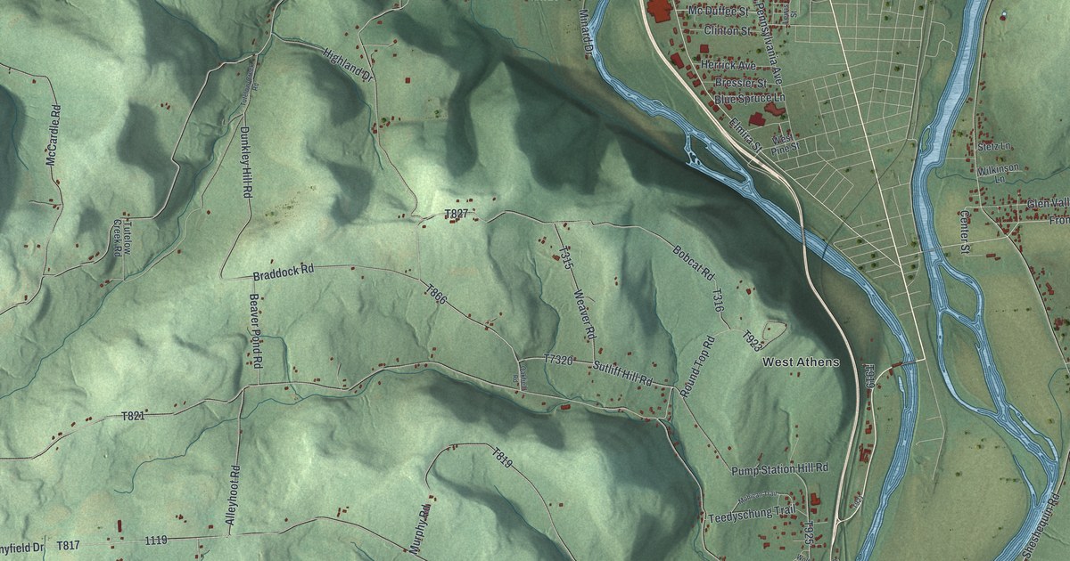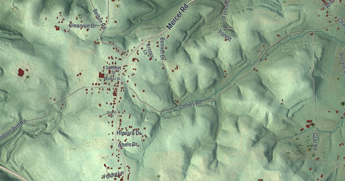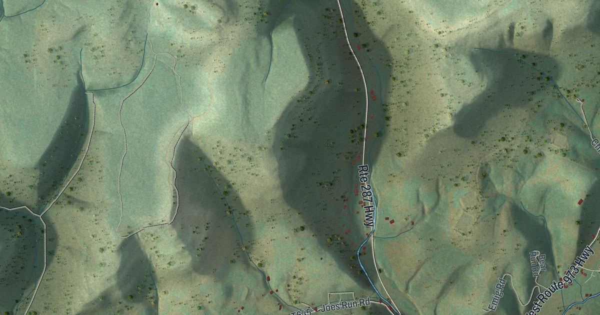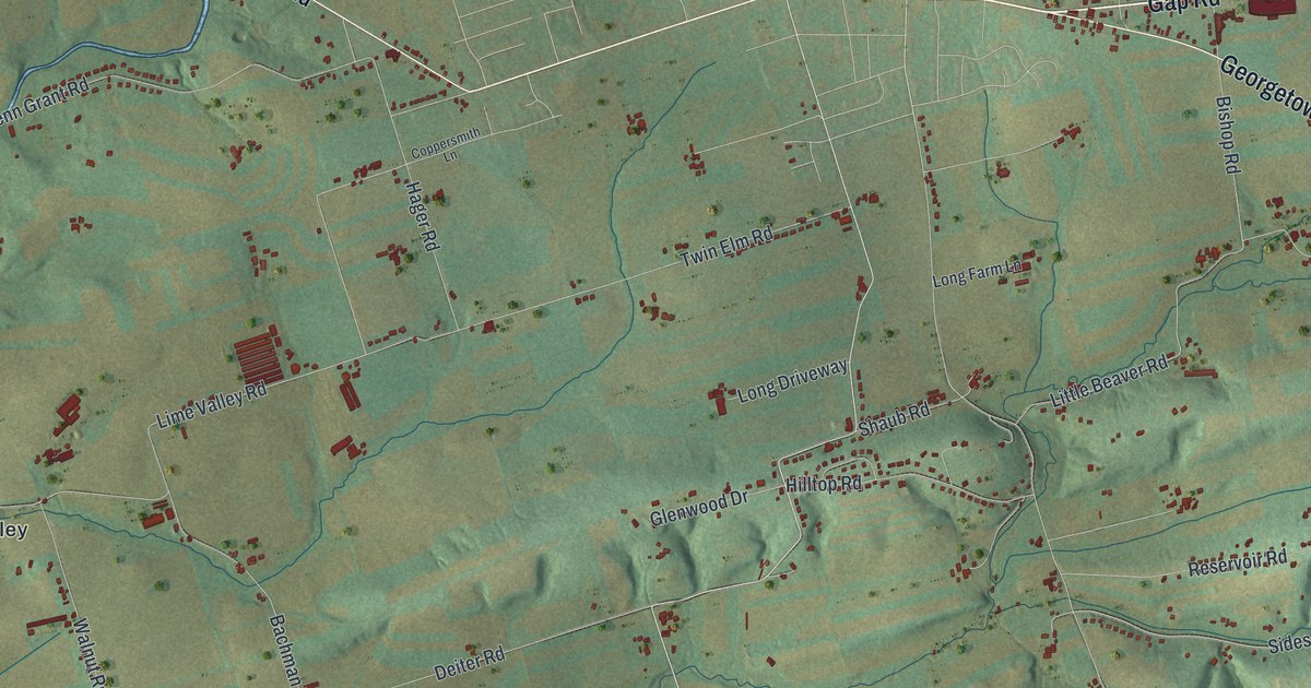
If you grew up on a farm road in Strasburg Township, or you still have family out near Refton or Hessdale, this map is for you. It's a modern aerial view of Strasburg Township in Lancaster County, Pennsylvania, made from modern data and given a vintage look. Shaded hills roll across the lower half of the sheet. A winding creek loops along the top. Small red buildings sit in clusters along the country roads, from Lime Valley down to New Providence.
Gap Road, Refton and Lime Valley on the map
On this map you'll find Gap Road, Georgetown Road, Hartman Bridge Road, Beaver Valley Pike, Village Road, Lime Valley Road, May Post Office Road, White Oak Road, Bunker Hill Road, Refton, Lime Valley, Hessdale, New Providence, and more. Each red shape is a building, so zoom in on the preview and look for yours.
The Strasburg Rail Road, started in 1832
The Strasburg Rail Road started in 1832. The new Philadelphia & Columbia Railroad had bypassed Strasburg. So the town got its own railroad. A state historical marker says it's the oldest American railroad still running under its original charter. By 1958 it was close to being shut down. Local rail fans saved it that year. They built it into one of the most successful tourist railroads in the country. Its fleet of working steam engines and old passenger cars is among the largest in the nation. The marker stands on Route 741, just east of Strasburg. On the map, that spot falls near Gap Road, where a tight group of red buildings sits on the right side of the sheet.
Lime Valley Covered Bridge near Refton
The railroad isn't the township's only piece of history. In 1979, more than 20 old engines and rail cars kept just east of Strasburg were listed on the National Register of Historic Places. The Lime Valley Covered Bridge is on that list too. It stands on T498, north of Refton, on the line between West Lampeter and Strasburg townships. On the map, look near the Lime Valley label, where Beaver Valley Pike and a blue creek pass close by.
A map of home from Refton to White Oak Road
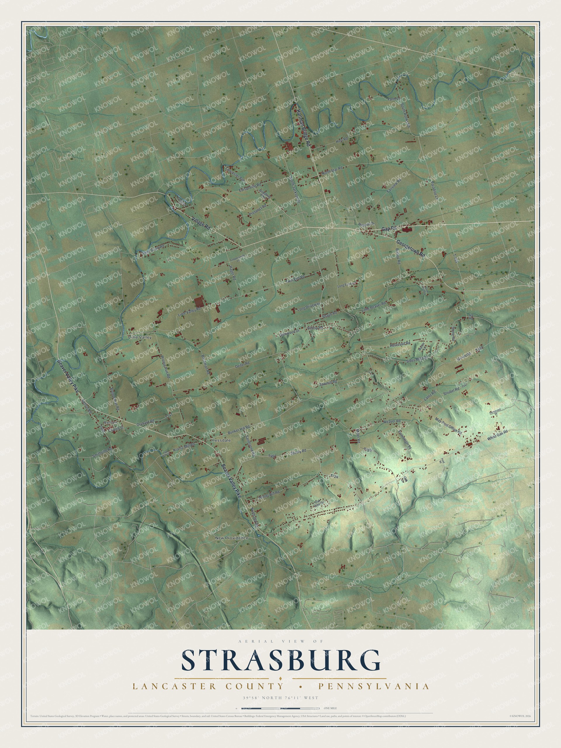
Created by KNOWOL in 2026, this print shows Strasburg Township in soft greens, with shaded hills, thin blue creeks and small red buildings. Road names sit in small dark type along many of the roads. The title panel at the bottom reads AERIAL VIEW OF STRASBURG, then LANCASTER COUNTY • PENNSYLVANIA, then 39°58' NORTH 76°11' WEST.
It fits a farmhouse kitchen, a den or a quiet office. It's a good gift for someone who grew up near the Lime Valley Covered Bridge, or who rode the steam train out of Strasburg as a kid. It's also a way to send a piece of Lancaster County to family who moved away. Open the preview and find your road. See sizes and frames for the Strasburg, Lancaster County map.