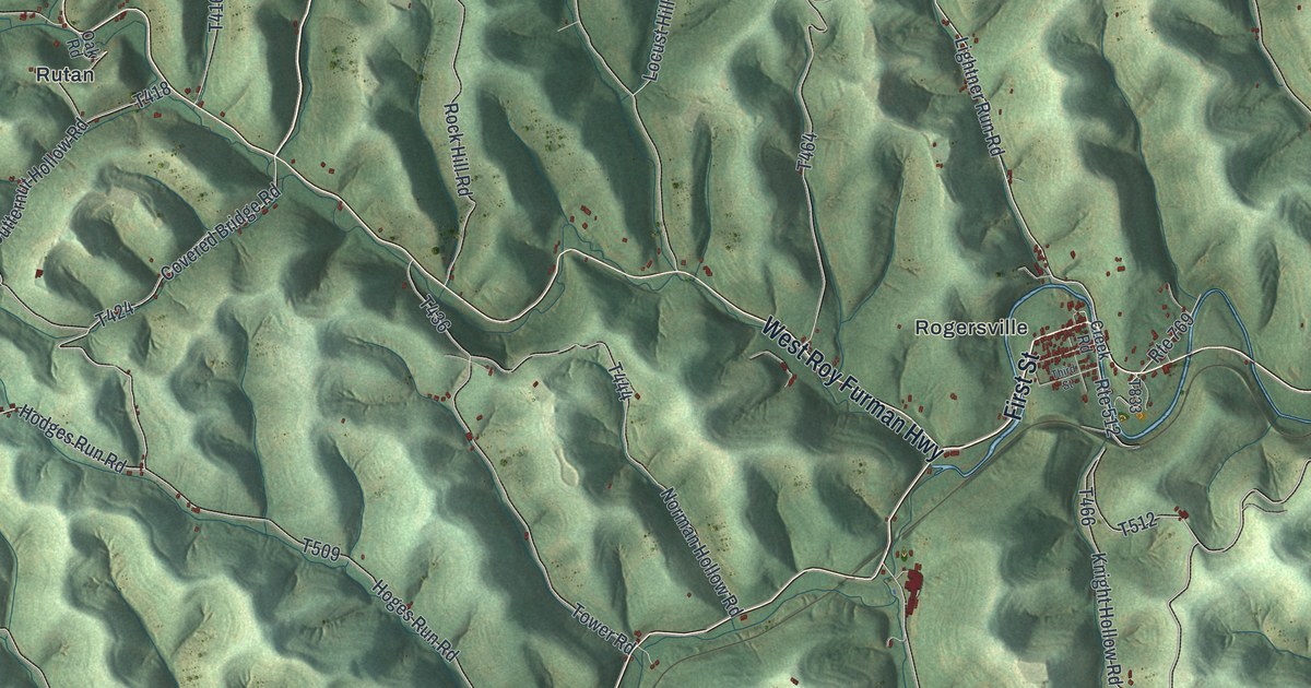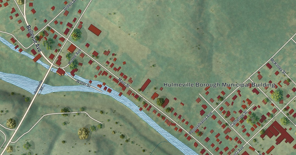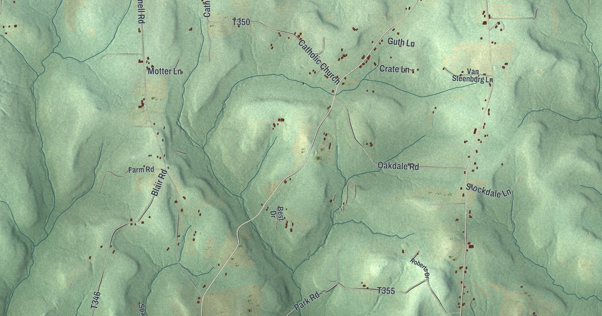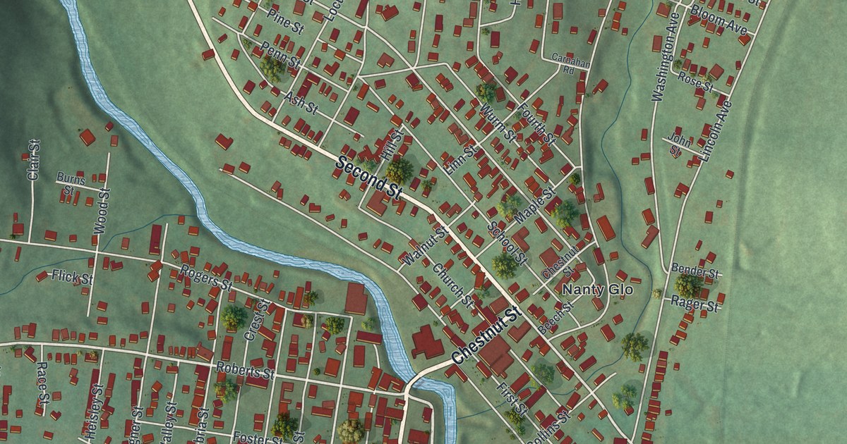
If you grew up along York Road, or your family still farms near Hunterstown, this map shows the land you know. It's a modern aerial view of Straban Township in Adams County, Pennsylvania, made from modern data and given a vintage feel. Green fields and wooded hills fill the sheet. York Road runs across the middle, a thin blue stream winds through the top right, and a long blue lake sits near the bottom.
The Cavalry Fight Near Hunterstown
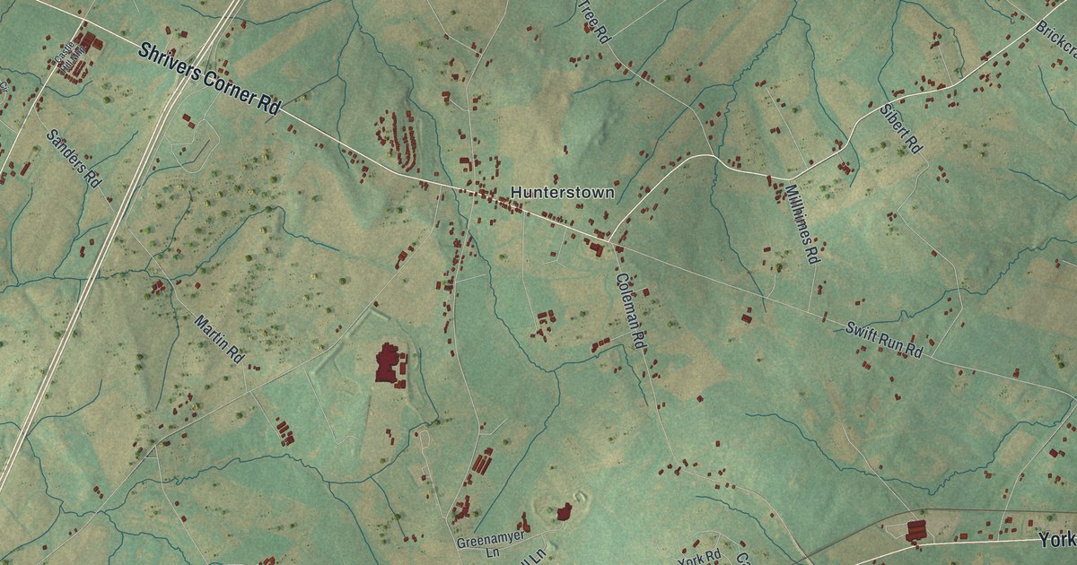
On this map you'll find York Road, Hanover Road, Old Harrisburg Road, Hunterstown Road, Shrivers Corner Road, Cavalry Field Road, Boyds School Road, Low Dutch Road, Granite Station Road, Hunterstown, Guldens, Newchester, Plainview, The Pines, and more. Each red shape is a building, so zoom in on the preview and look for yours.
Straban saw two cavalry fights during the Battle of Gettysburg. A state historical marker on Hunterstown Road tells about the first one. On July 2, 1863, Union cavalry led by General Judson Kilpatrick attacked a Confederate cavalry brigade. That brigade was led by General Wade Hampton. George A. Custer and Elon J. Farnsworth led Union troops into the fight near Hunterstown Road. It went on for four hours. Neither side was the clear winner. Find Hunterstown near the center of the map, and the road that carries its name.
Cavalry Field Road and the Charges of July 3
The next day brought another fight. Another marker stands where Cavalry Field Road meets Route 30, which is York Road here. It says the fight took place about a mile southeast of that corner. On July 3, General David Gregg's Union horsemen made one charge after another. They kept General J.E.B. Stuart's cavalry from reaching the back of the Union line. Then they drove the Confederates from the field. Look for Cavalry Field Road just below York Road, toward the lower left of the sheet.
Straban From Plainview to Hanover Road
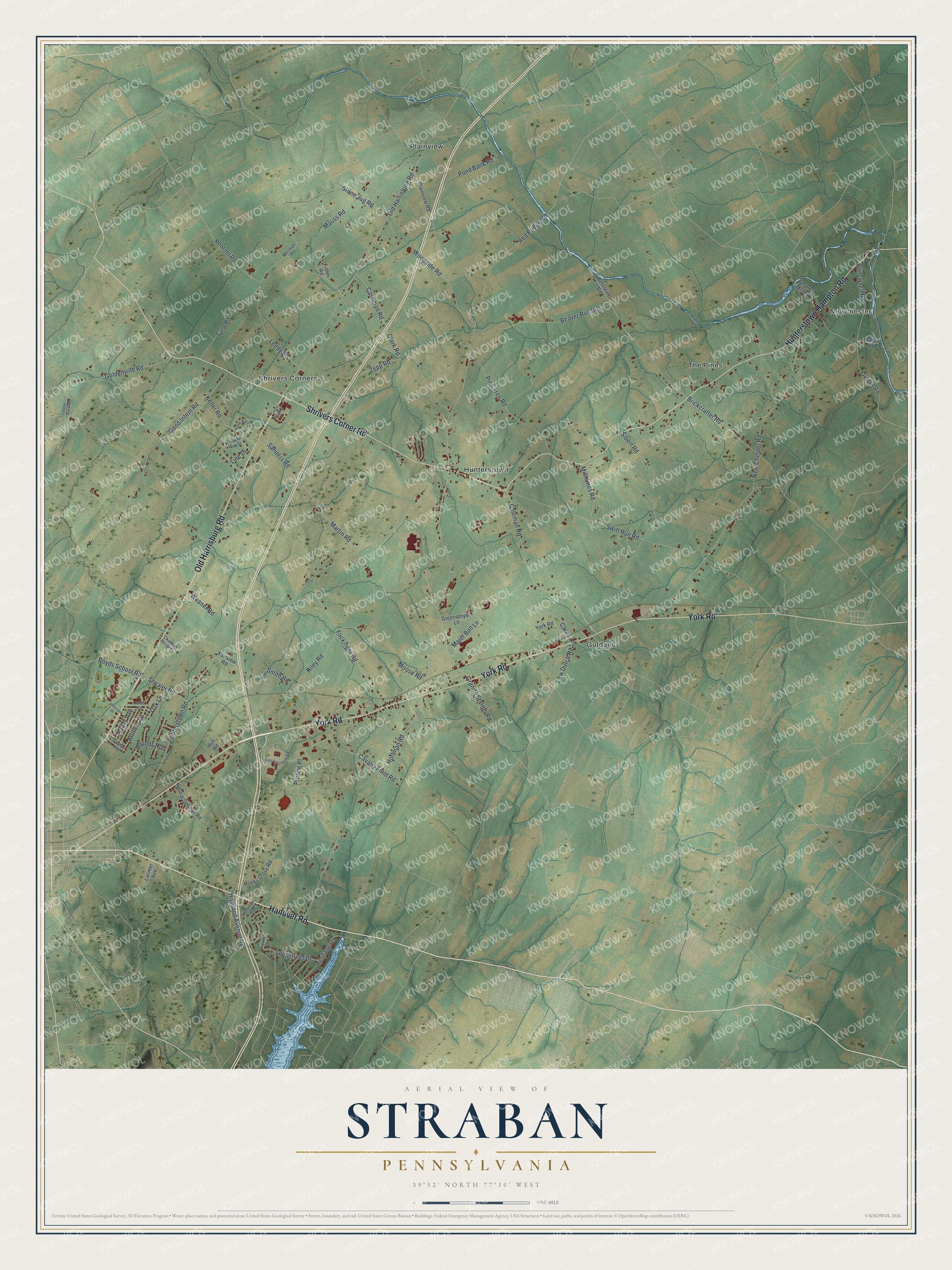
Created by KNOWOL in 2026, this print shows Straban's farm fields and wooded hills in soft greens, with buildings in deep red and roads in fine pale lines. The title panel reads Aerial View of Straban, Pennsylvania, with 39°52' North 77°10' West below it.
It fits a den, a farmhouse kitchen or an office wall. It's a good gift for someone who grew up near Hunterstown or Guldens, or who moved away and still thinks about the drive down York Road. Open the preview and find your own road. See sizes and frames for the Straban map.