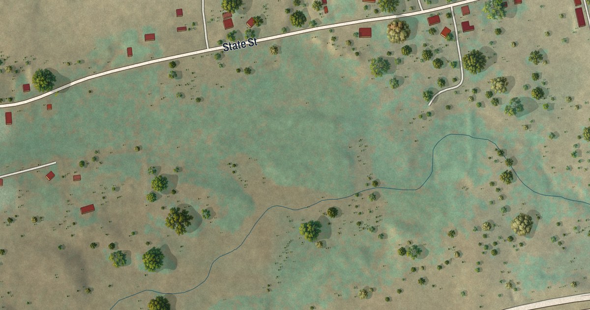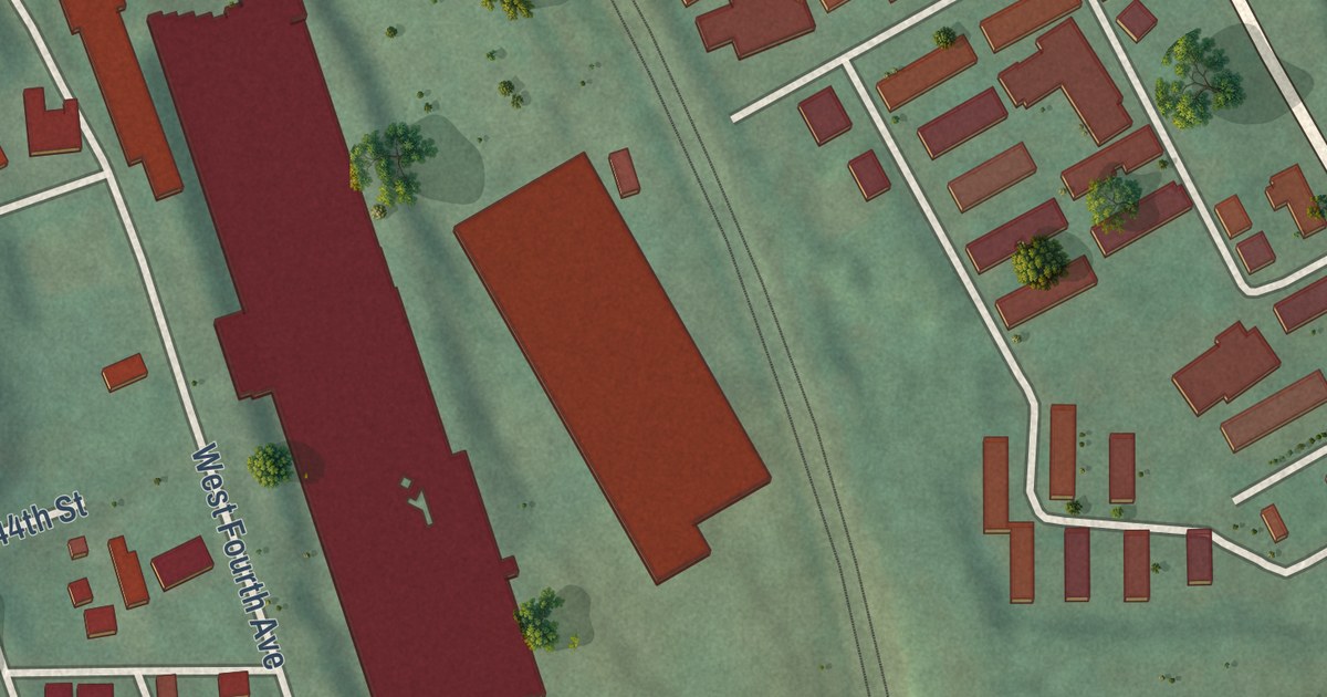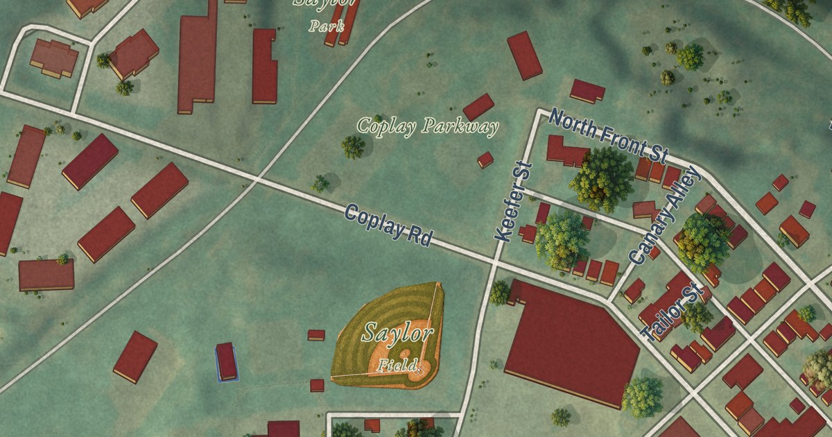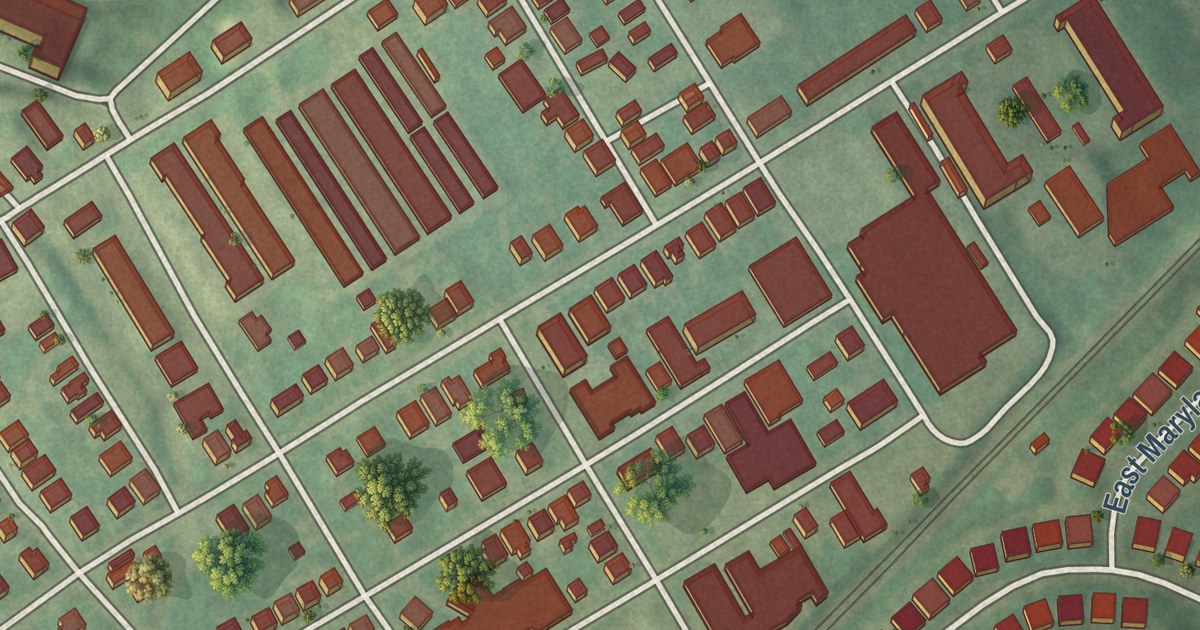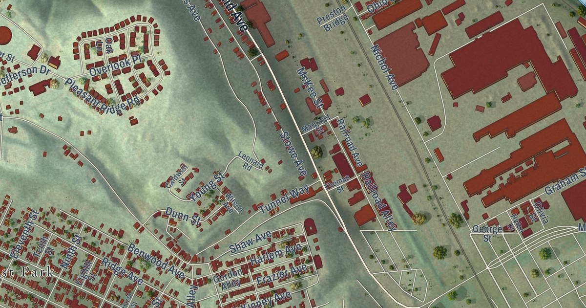
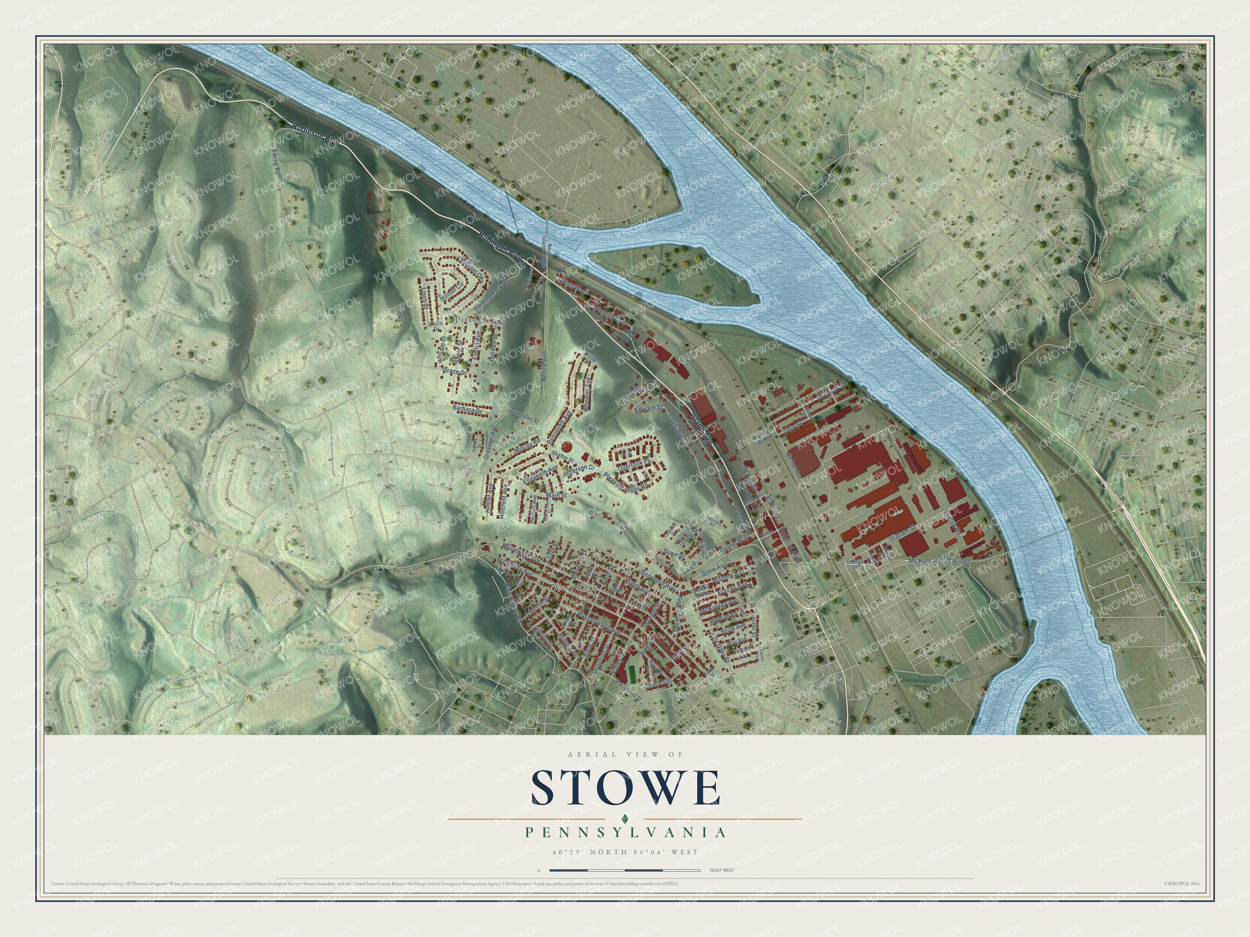
This beautifully detailed map of Stowe, Pennsylvania was created in 2026 using aerial imagery combined with modern topographical, census, street and landmark data. It’s a one-of-a-kind view of Stowe that combines accurate data with a vintage aesthetic. The map shows every building in its true location, many of the roads carry their names, and the shaded topographic relief shows the shape of the land.
Explore an aerial view of Stowe, Pennsylvania
On the map you’ll find Pittock and West Park, along with Island Avenue, Robinson Boulevard, Davis Avenue, Edward Street, Woodward Avenue, Hillcrest Avenue, Desiderio Avenue, Wheeler Avenue, Totero Avenue, McCoy Road, and more. If you look closely you can even find your house accurately drawn in its correct location. Zoom in on the preview to look for yours.
Did you know this piece of Stowe, Pennsylvania history?
From the 1889 History of Allegheny County, Pennsylvania: "The German Catholic element worshiped at St. Mary’s church, Stowe township, until the organization of St. Luke’s; and as they increased in numbers, a meeting was held June 8, 1879, at which formal action was taken, resulting in the organization of St. Joseph’s German Catholic Church."
Take a closer look at the Stowe map
Street and place names on the Stowe, Pennsylvania map
These names are printed on the map of Stowe, Pennsylvania.
Places: West Park and Pittock.
Streets and roads: Robinson Boulevard, Island Avenue, Davis Avenue, Wheeler Avenue, Edward Street, Woodward Avenue, Hillcrest Avenue, Young Street, McCoy Road, Broadway Avenue, Stowe Avenue, Neville Avenue.
More street names, A to Z
13th Street, 14th Street, Barbara Drive, Benwood Avenue, Brisk Avenue, Caldwell Street, Center Street, Charles Street, Coles Row, Dale Street, Dohrman Street, Dressler Avenue, Dressler Street, Duke Street, Dunn Street, Eighth Street, Eleventh Street, Elizabeth Avenue, Euclid Avenue, Ewing Road, Fair Oaks Street, Fifth Street, Fleming Avenue, Fleming Park Road, Frazier Avenue, George Street, Glenn Way, Gordon Alley, Gordon Street, Grace Street, Graham Street, Haines Drive, Harlem Avenue, Hazel Street, Helen Street, Hester Avenue, Highland Avenue, Hober Avenue, Homer Circle, Jefferson Drive, Juvet Street, Knox Street, Leonard Road, Liberty Street, Louis Drive, Louis Street, Macarthur Street, Main Street, Margaret Street, Marwood Avenue, May Avenue, Mc Kees Rocks Bridge, McKee Street, McKinney Avenue, Neville Island Bridge, Nichol Avenue, Ninth Street, Oak Lane, Ohio Street, Olivia Street, Orchard Street, Orr Street, Overlook Place, Palace Avenue, Palace Way, Park Avenue, Phillips Avenue, Pine Hollow Road, Pleasant Ridge Road, Preston Bridge, Race Street, Railroad Alley, Railroad Avenue, Ridge Avenue, Roosevelt Avenue, Rosamond Street, Russellwood Avenue, Sarah Street, Seventh Street, Sexton Road, Shafter Street, Shaw Avenue, Sixth Street, Speer Street, Spencer Alley, Tenth Street, Thomas Street, Tunnel Way, Twelfth Street, Valley Street, Walther Street, William Circle, William Street, Wilson Avenue, Wood Street.
See the Stowe, Pennsylvania map on a wall
The Stowe map as an 18 x 24 inch print in a black frame.

This beautifully detailed map of Stowe makes an attractive addition to your office, library, or den, and it can even be used to teach children the geography and history of the area. It also makes a great gift for anyone with Stowe roots. When you’re done exploring, click here to get your copy of the Stowe map.