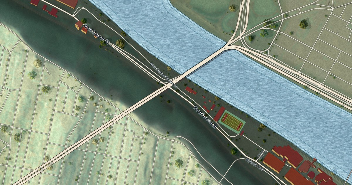
If you've crossed the Smithfield Street Bridge to work, or spent an evening at Station Square, this map was made with you in mind. It's a modern aerial view of South Shore, the riverside strip of Pittsburgh in Allegheny County, with a vintage look, drawn from modern data. A wide blue river bends across the upper half of the print. Red buildings sit on a narrow shelf of flat land along West Carson Street, with a steep green hillside climbing behind them, laced with small streets.
Station Square and the Smithfield Street Bridge
On this map you'll find West Carson Street, East Carson Street, Station Square Drive, the Smithfield Street Bridge, the Westend Bridge, Arlington Avenue, Riverside Avenue, South First Street, South Second Street, East Sycamore Street, West Sycamore Street, Mc Kean Street, and more. Each red shape is a building, so zoom in on the preview and look for yours.
The Clinton Furnace at Station Square
Station Square holds a big piece of Pittsburgh's steel story. A state marker stands there, at Station Square. It remembers the Clinton Furnace. The marker calls it Pittsburgh's first successful blast furnace for making pig iron. Work began near here in 1859. The furnace burned Connellsville coke for fuel. Its way of working started a new era. It led to bigger furnaces that could turn out huge amounts of iron. The marker says the Clinton Furnace played a big part in making Pittsburgh the leader in iron and steel. It ran until 1927.
Close by is the Pittsburgh & Lake Erie Railroad Station, at Smithfield and Carson streets. It joined the National Register in 1974. It stands where the Smithfield Street Bridge meets Carson Street. Another marker at that corner goes back even further. It says John A. Roebling built a wire rope bridge here in 1846. It was the first of its kind to carry a road over the Monongahela River. Down East Carson Street, the Pittsburgh Terminal Warehouse and Transfer Company joined the National Register in 2013.
West Carson Street and Station Square on Your Wall
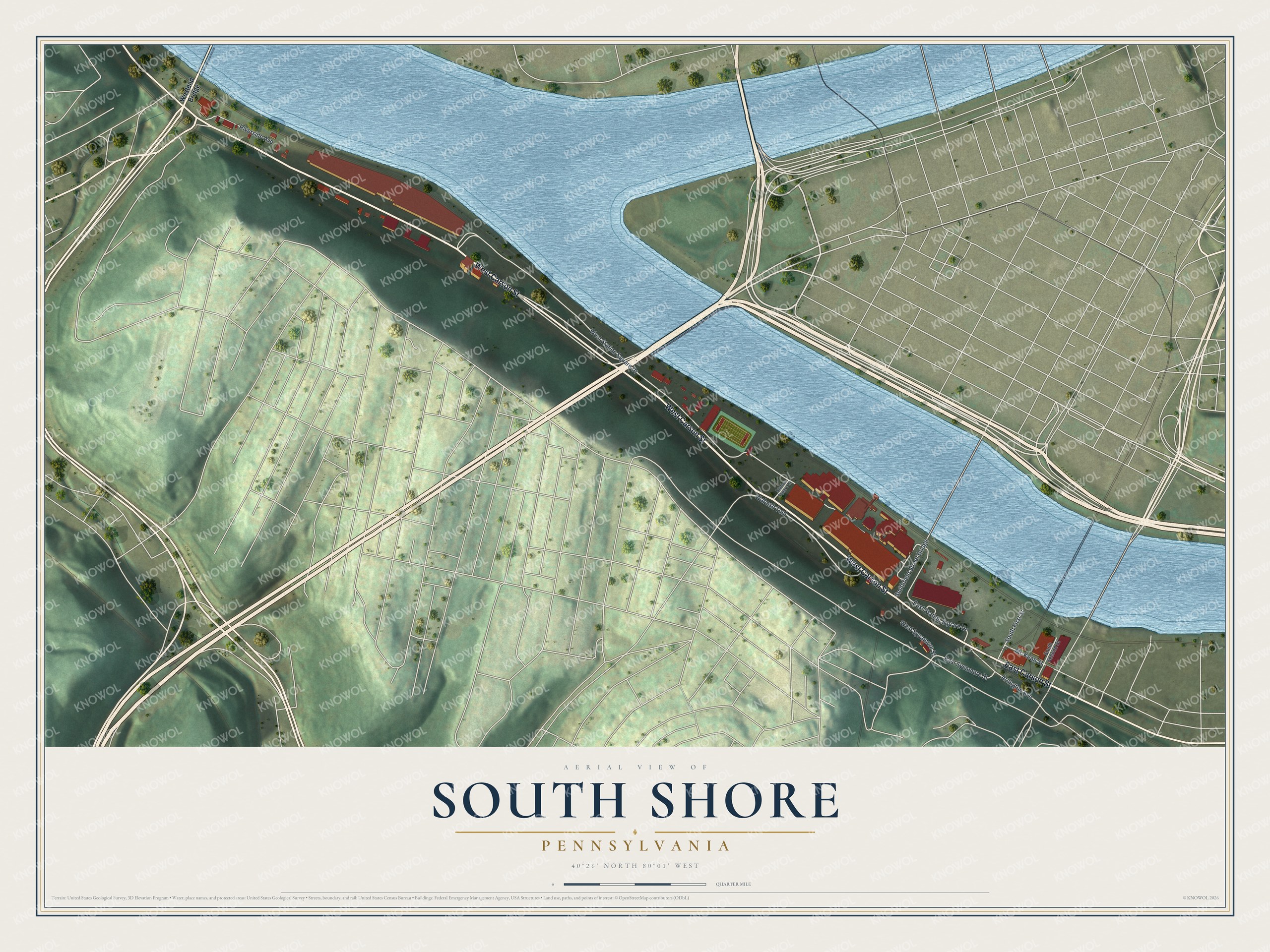
Created by KNOWOL in 2026, the print shows South Shore from above, with a blue river, red buildings, pale roads and shaded green hills. The title panel reads Aerial View of South Shore, Pennsylvania, 40°26' North 80°01' West.
It suits a home office, a kitchen or a front hall. It's a good gift for someone who worked near the old Pittsburgh & Lake Erie Railroad Station, or for anyone who moved away and still thinks of Carson Street as home. Open the preview and find the Smithfield Street Bridge, West Carson Street and the blocks you know. See sizes and frames for the South Shore map.