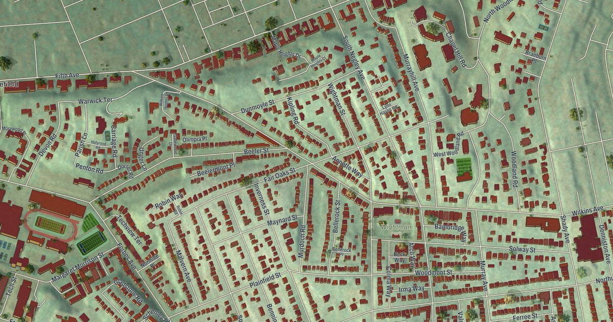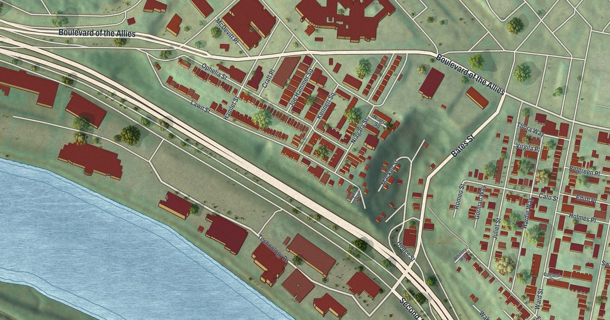
If you grew up on Dawson Street, played ball at Frazier Park, or still have family near Schenley Park, this map shows your blocks. It's a modern aerial view of South Oakland in Allegheny County, Pennsylvania, made from modern data and given a vintage look. Tight rows of red homes fill the hill between Boulevard of the Allies and Second Avenue. A wide blue river runs along the lower left, and the Birmingham Bridge crosses it. Green hills and Schenley Park fill the right side. Look for Romeo Street, Juliet Street, Hamlet Street and Ophelia Street, all printed on the map.
The Oakland Public School on Dawson Street
On this map you'll find Boulevard of the Allies, Forbes Avenue, Fifth Avenue, Second Avenue, Bates Street, Dawson Street, Ward Street, Frazier Street, Parkview Avenue, Juliet Street, Joe Hammer Square, Edith Place, Frazier Park, Schenley Park, and more. Each red shape is a building, so zoom in on the preview and look for yours.
South Oakland has its own spot on the National Register of Historic Places. The Oakland Public School stands on Dawson Street near Edith Place. It was added to the list in February 1987. To find it on the map, look near Dawson Street and Edith Place. Rows of red homes line the streets all around it.
Schenley Park and Frazier Park
The green land on the right side is Schenley Park. It's home to Phipps Conservatory, which joined the same list in November 1976. Closer in, Frazier Park sits at the bottom of the neighborhood, with a ball diamond you can pick out from above. Parkview Avenue and Frazier Street are printed on the map, right in the neighborhood.
A Map of Dawson Street and Frazier Park
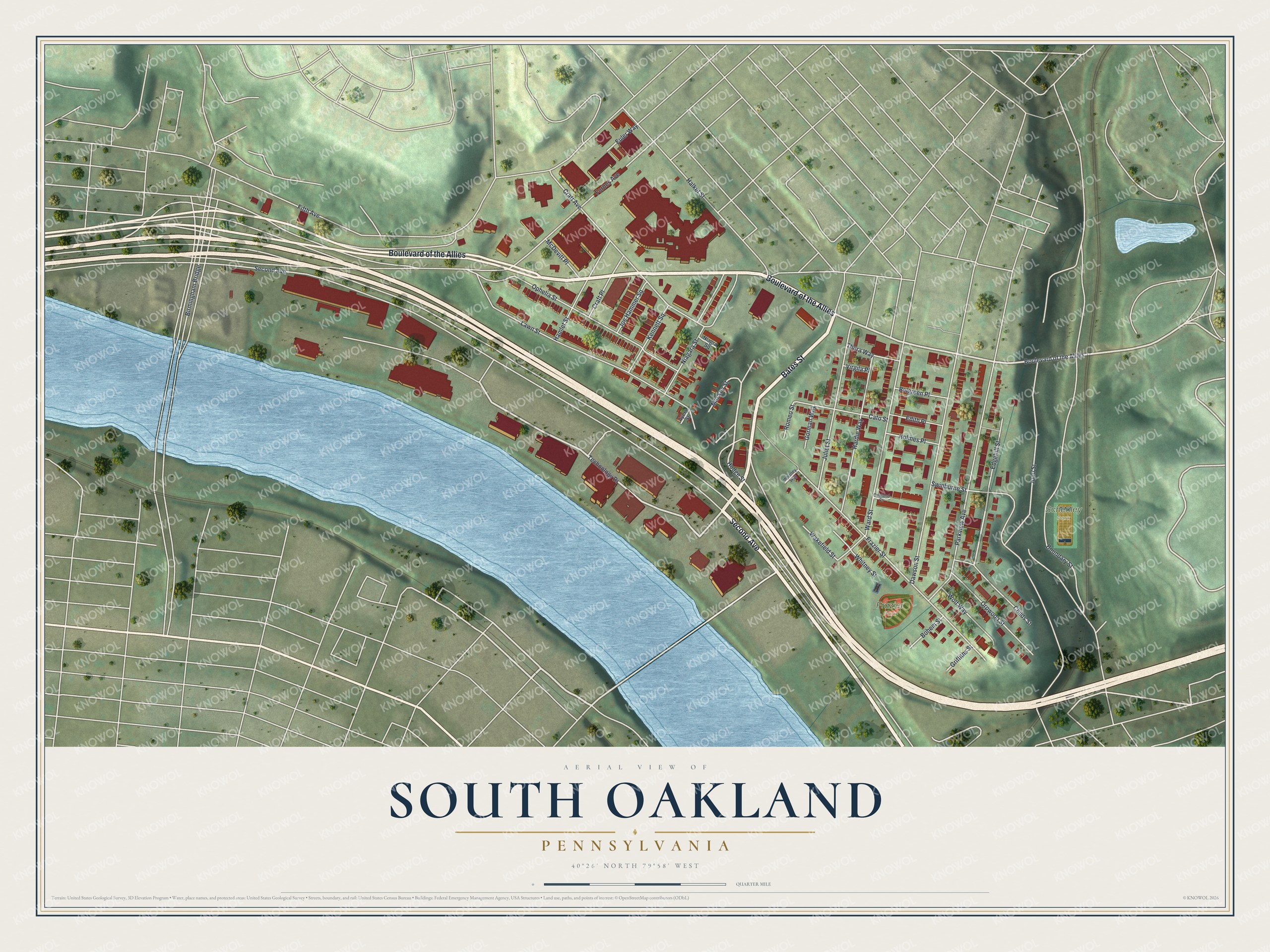
Created by KNOWOL in 2026, the print shows South Oakland from above, with soft green hills, a blue river and red buildings packed along the streets. The title panel reads Aerial View of South Oakland, Pennsylvania, with 40°26' North 79°58' West printed below.
It fits a living room, a home office or a first apartment wall. It's a good gift for someone who went to the Oakland Public School or grew up playing at Frazier Park. Open the preview and find your street. See sizes and frames for the South Oakland map.