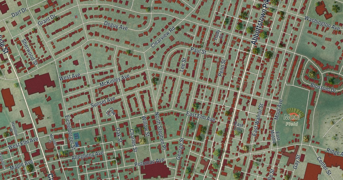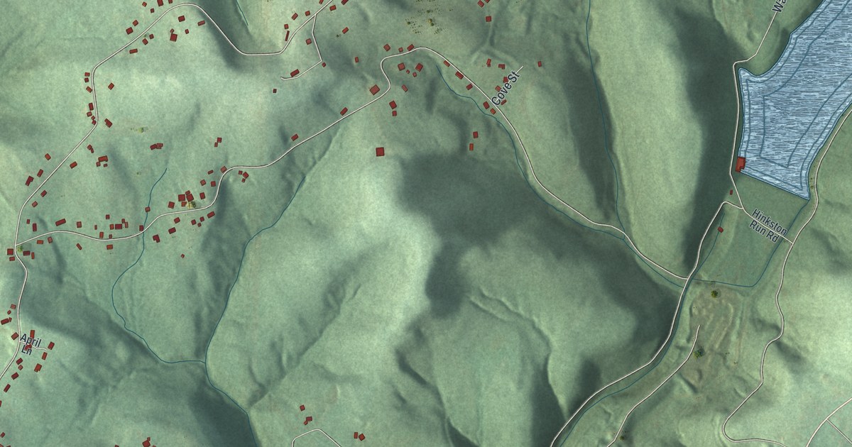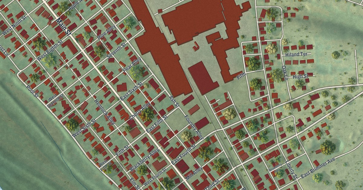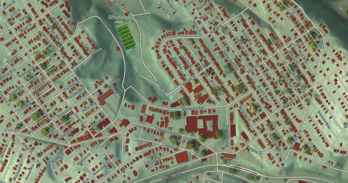
If you grew up on the streets around Chartiers Avenue and Sheraden Boulevard, you'll know this view. It's a modern aerial view of Sheraden in Allegheny County, Pennsylvania, made from modern data and given a vintage artistic feel. You'll see rows of homes packed onto green hillsides, ball fields near Sheraden Park, and a wide blue river in the top right corner.
Langley High School on Sheraden Boulevard
On this map you'll find Chartiers Avenue, Sheraden Boulevard, Sheraden Park, Corliss, Esplen, Elliott, Sherwood Avenue, Hillsboro Street, Glasgow Street, Adon Street, Tuxedo Street, Faronia Street, Merwyn Avenue, Stafford Street, and more. Each red shape is a building, so zoom in on the preview and look for yours.
Today, Langley High School stands where Sheraden Boulevard meets Chartiers Avenue. It was added to the National Register of Historic Places in 1986.
From Sheraden Park to Chartiers Avenue
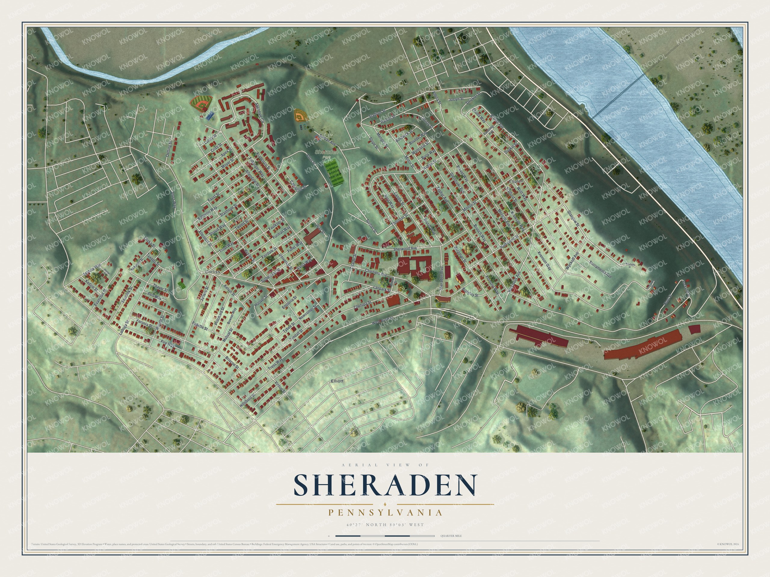
Created by KNOWOL in 2026, this print shows Sheraden from above, with shaded green hills, red buildings, pale streets and a blue river in one corner. The title panel reads "Aerial View of Sheraden, Pennsylvania" with the coordinates 40°27' North 80°03' West.
It fits well in a living room, a hallway or a home office. It's a good gift for a Langley High School graduate, or for family who moved away from Sheraden. Open the preview and find your own block. See sizes and frames for the Sheraden map.