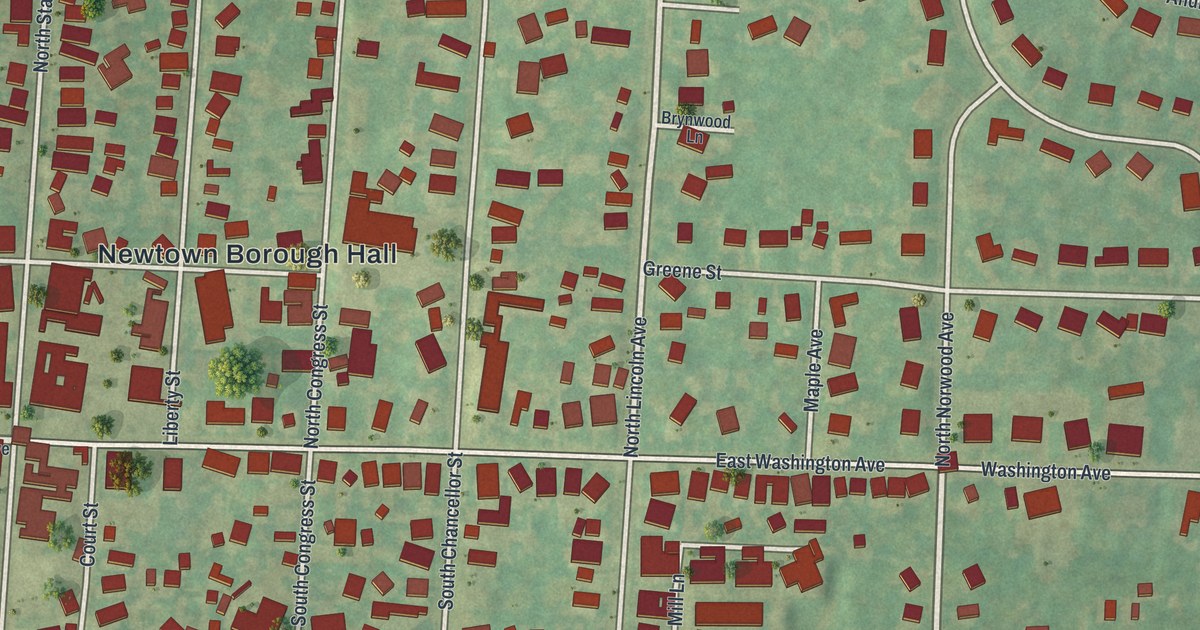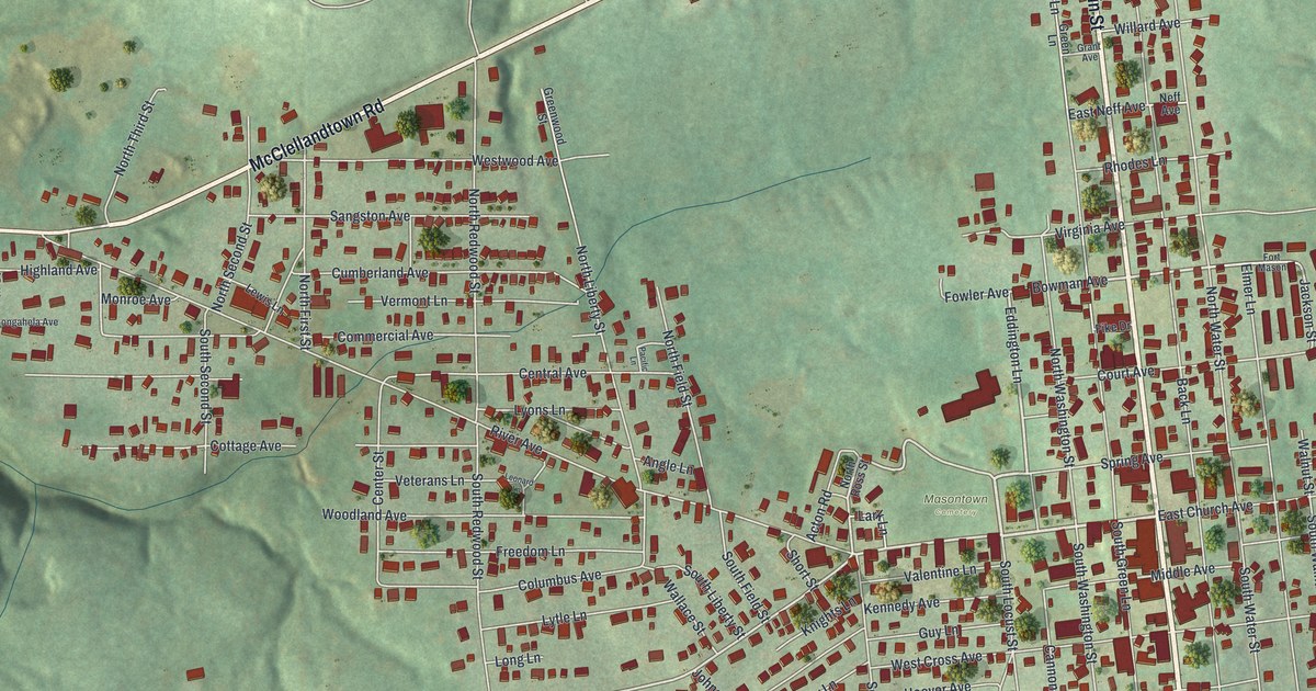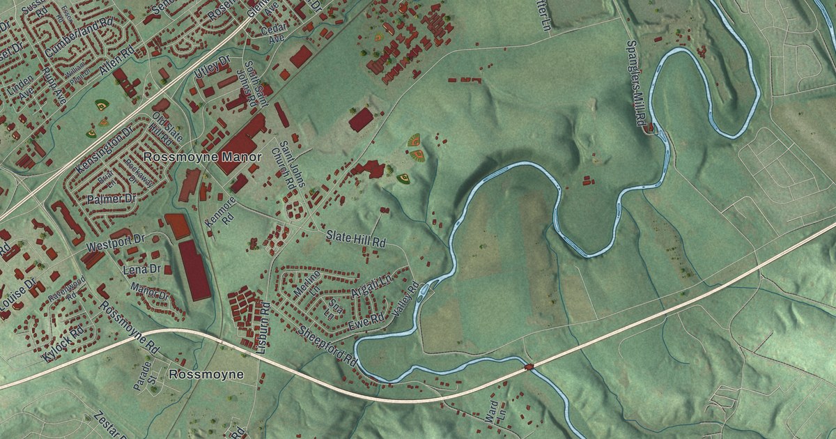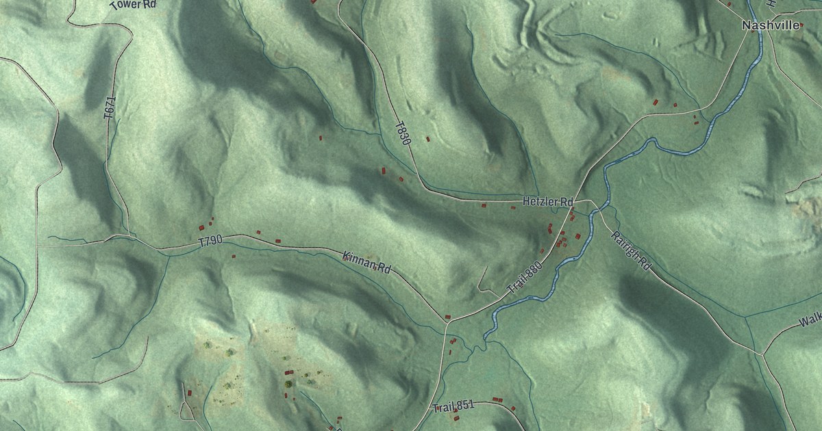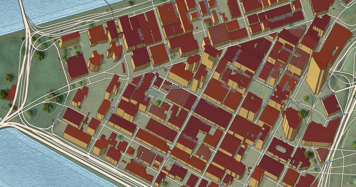
If you've ever worked on Grant Street or met friends in Market Square, this map will feel like home. It's a new aerial view of Downtown Pittsburgh, the Central Business District in Allegheny County, Pennsylvania, made from modern data with a vintage look. Two blue rivers wrap around the triangle of streets. More than 900 red buildings fill the blocks between them, from the Great Lawn at the tip to Uptown in the corner.
Downtown Pittsburgh From the Great Lawn to Grant Street
On this map you'll find Grant Street, Liberty Avenue, Penn Avenue, Fifth Avenue, Forbes Avenue, Smithfield Street, Wood Street, Market Square, the Great Lawn, Fort Pitt Boulevard, Fort Duquesne Boulevard, Boulevard of the Allies, Stanwix Street, William Penn Place, Uptown, and more. Each red shape is a building, so zoom in on the preview and look for yours.
How the Point Got the Name Pittsburgh
Downtown's story starts at its tip. The state historical marker text for the end of Forbes Road, from Point State Park, says General Forbes took the spot on November 25, 1758. Another marker says he named it for William Pitt after the French Fort Duquesne fell. A second marker says John Campbell laid out the town in 1764. Two printed roads still carry the old names, Fort Pitt Boulevard and Fort Duquesne Boulevard.
The Point got a new look in the last century. David L. Lawrence was born in this area in 1889. He served as Pennsylvania's governor from 1959 to 1963. His marker calls him a pioneer in urban renewal. He pushed for Point Park as part of rebuilding the Golden Triangle. On the map, that park is the green tip where the Great Lawn is printed.
Where the Steelworkers Union Began on Grant Street
Grant Street has a proud story of its own. A marker there says the Steel Workers Organizing Committee was founded in the Grant Building on June 17, 1936. It was renamed the United Steelworkers of America in 1942. It grew into one of the world's largest unions, with over a million workers. Philip Murray was its first president.
Market Square and Grant Street on Your Wall
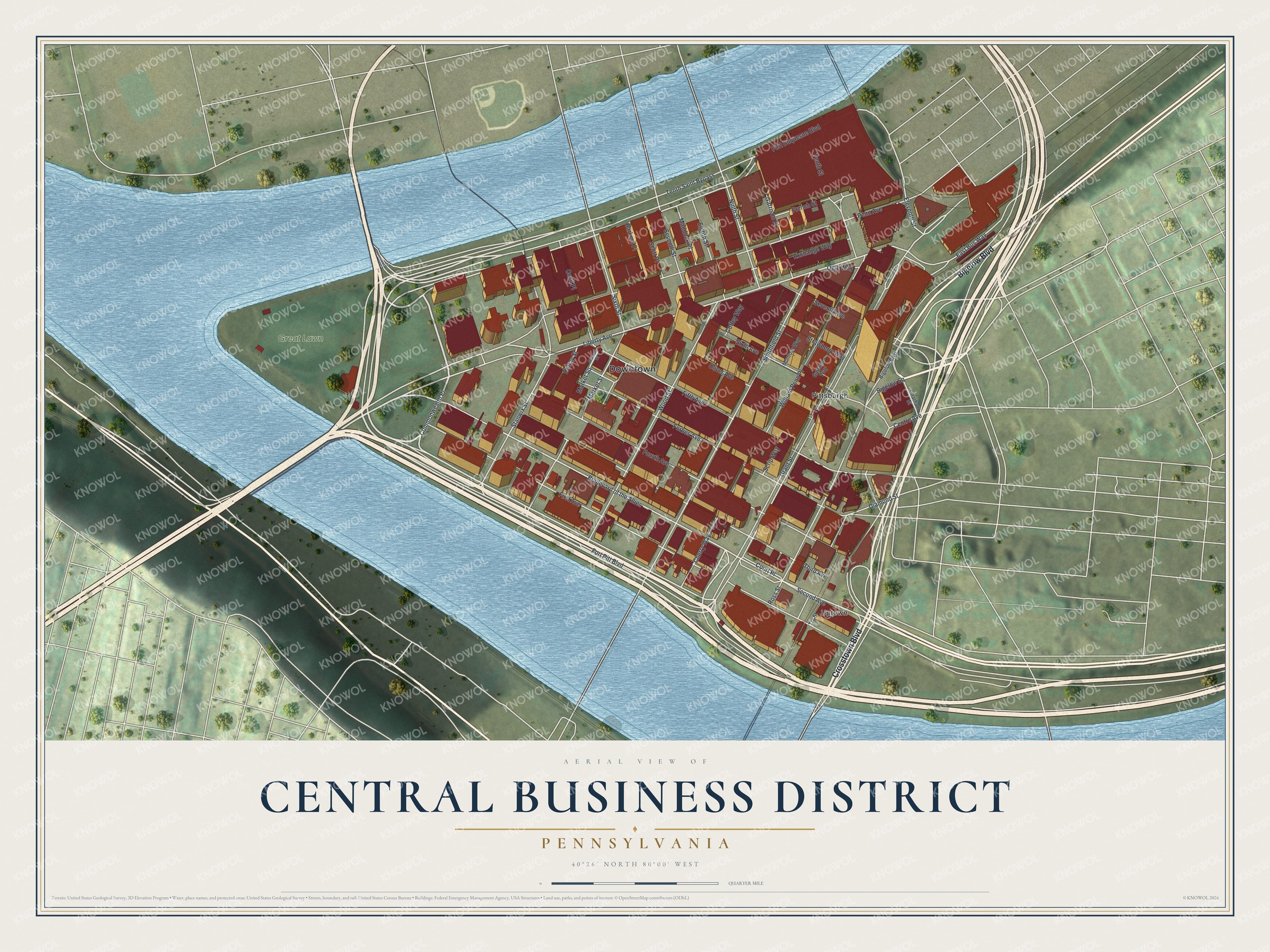
Created by KNOWOL in 2026, this print shows Downtown as a modern aerial view, with red buildings, blue rivers and green land beyond them. The title panel reads Aerial View of Central Business District, Pennsylvania, with 40°26' North 80°00' West below it.
It suits an office, a den or a front hall. It's a good gift for someone who spent years working near Market Square, or for a friend who moved away from Pittsburgh. Open the preview and find your block. See sizes and frames for the Central Business District map.