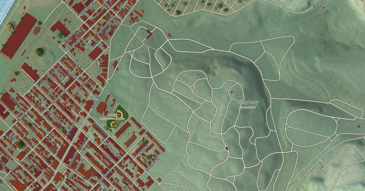
If you grew up on the blocks between Butler Street and Allegheny Cemetery, this map will feel like home. It's a modern aerial view of Central Lawrenceville in Allegheny County, Pennsylvania, built from modern data and given a vintage look. A wide blue river runs down the left side. Red rooftops fill the tight grid of streets beside it. To the right, the cemetery's winding lanes curl across the green hills.
Butler Street, Hatfield Street and Allegheny Cemetery
On this map you'll find Butler Street, Allegheny Cemetery, Saint Marys Cemetery, Leslie Recreation Center, Stanton Avenue, Hatfield Street, Plummer Street, Fisk Street, Mossfield Street, 44th Street, 45th Street, 46th Street, 43 1/2 Street, Arsenal Place, and more. Each red shape is a building, so zoom in on the preview and look for yours.
The Butler Street Gatehouse at 4734 Butler Street
The Butler Street Gatehouse stands at 4734 Butler Street. In July 1974, it was added to the National Register of Historic Places. That's the nation's official list of historic places. On the map, find Butler Street where the red blocks meet the cemetery's green hills.
Two more buildings close by are on the same list. Bayard School, at 4830 Hatfield Street, was listed in September 1986. The Boys' Club of Pittsburgh, at 212 45th Street, joined the list in January 2018. A school, a boys' club and a gatehouse are all on the National Register.
A Map of Central Lawrenceville From Butler Street to Stanton Avenue
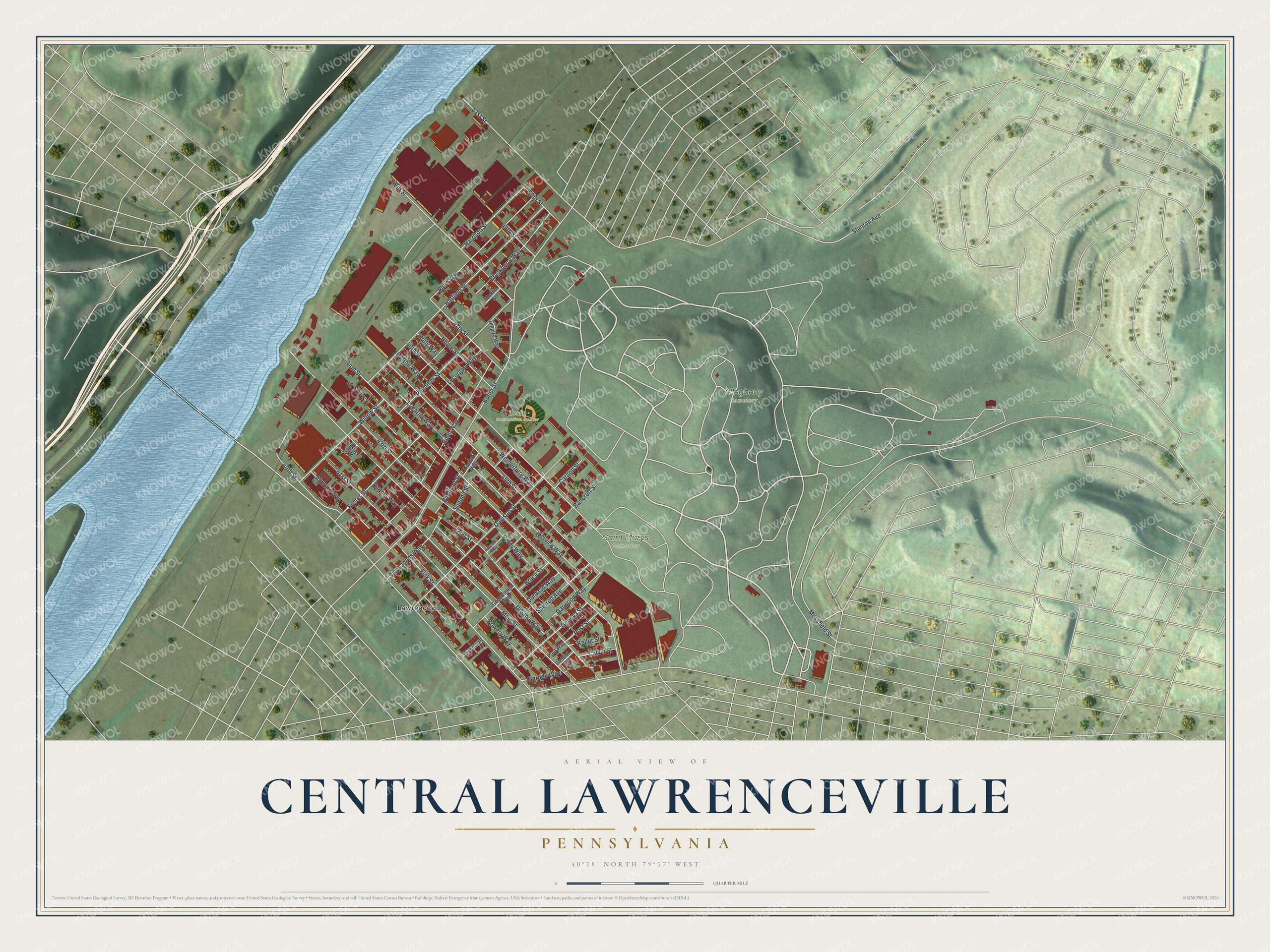
Created by KNOWOL in 2026, this print shows Central Lawrenceville from above. Red buildings, pale streets, green hills and a blue river sit under a soft vintage finish. The title panel reads Aerial View of Central Lawrenceville, Pennsylvania, with the coordinates 40°28' North 79°57' West.
It suits a living room, a front hall or a home office. It's a warm gift for someone who grew up near Leslie Recreation Center, or for anyone who's moved away from Butler Street. Open the preview and find your block. See sizes and frames for the Central Lawrenceville map.