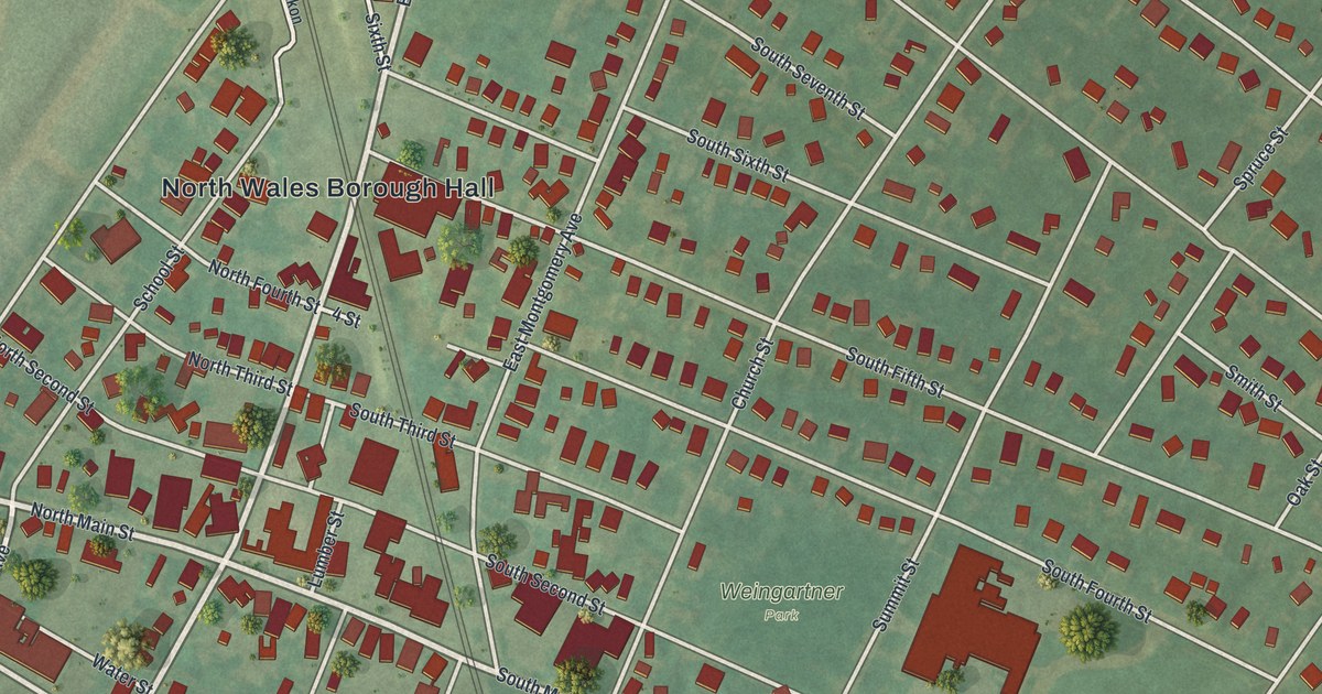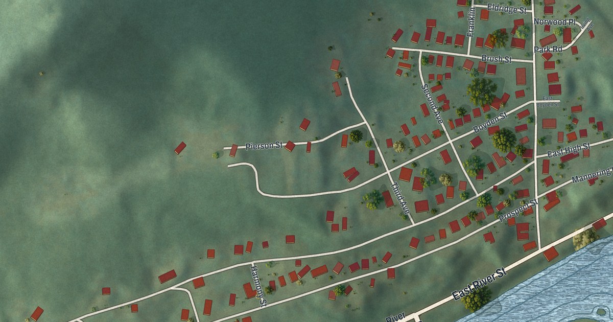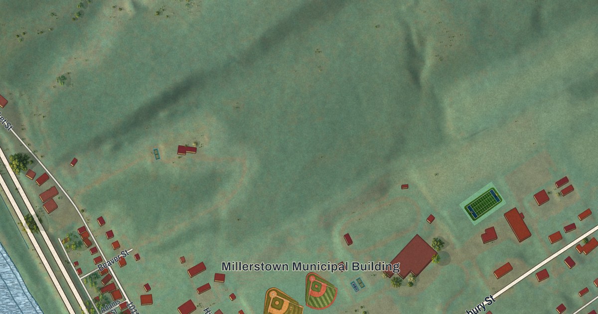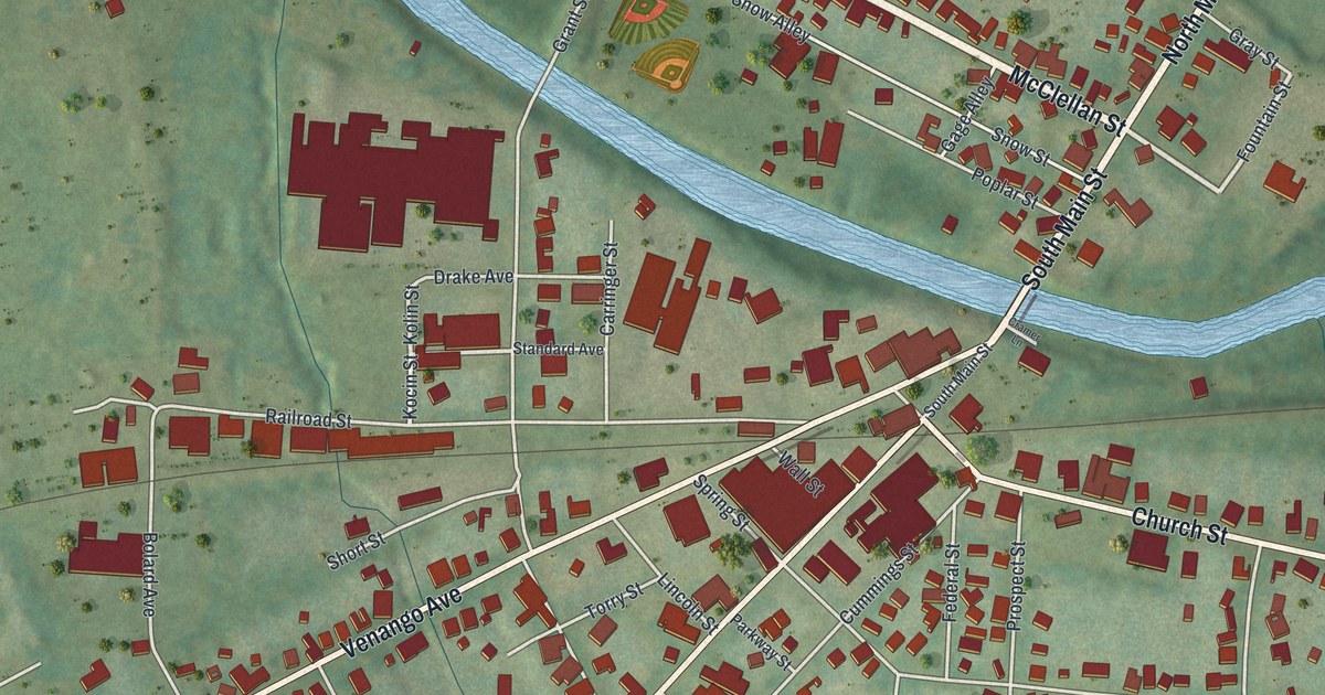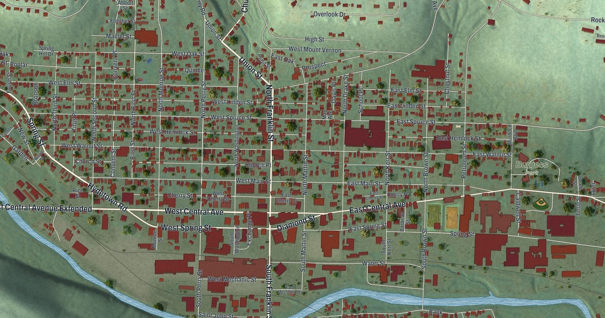
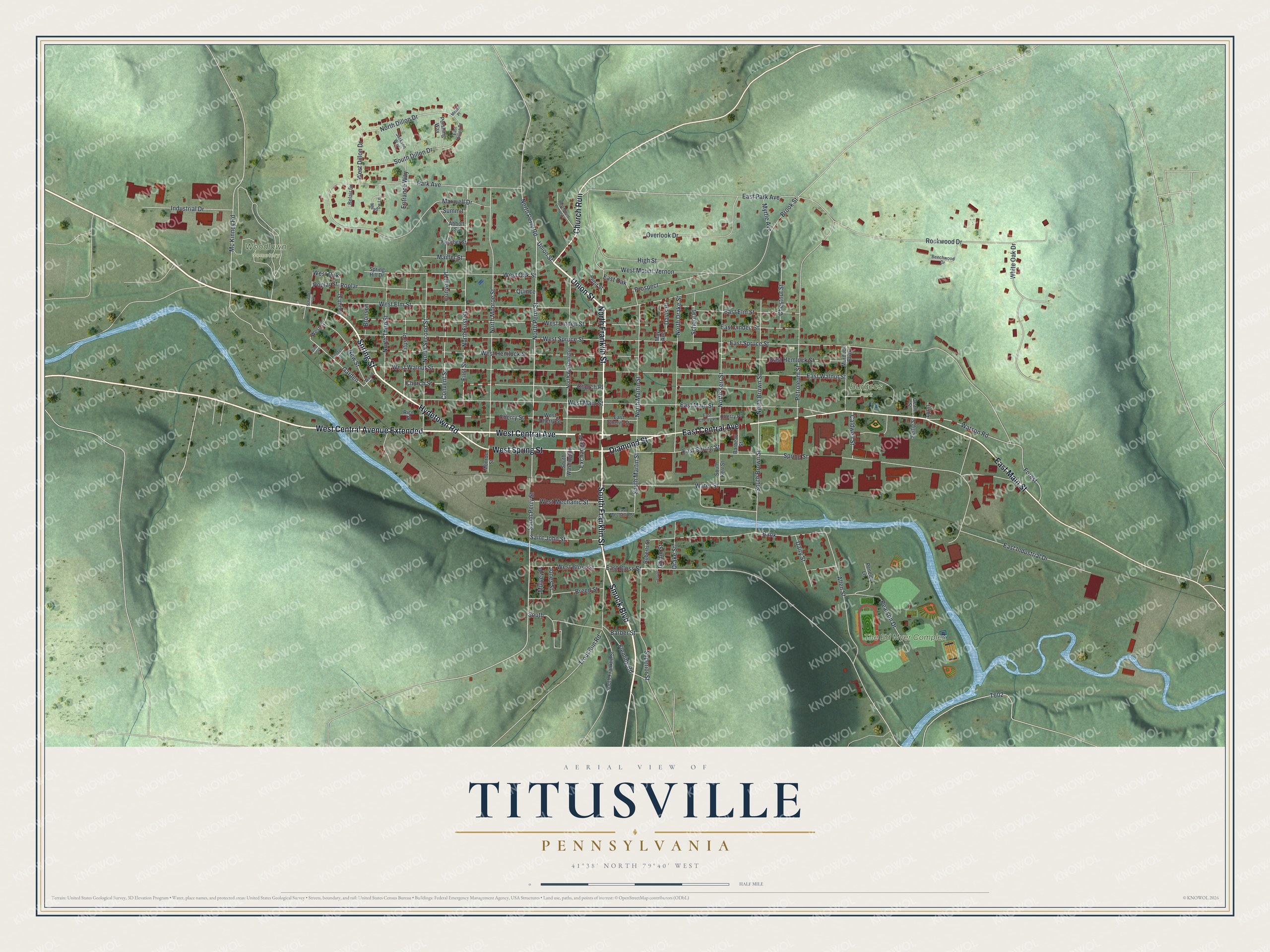
This beautifully detailed map of Titusville, Pennsylvania was created in 2026 using aerial imagery combined with modern topographical, census, street and landmark data. It's a modern aerial view of Titusville in Crawford County, Pennsylvania, that combines modern data with a vintage aesthetic. The roads feature printed names, and if you look closely you can find your exact house accurately shown in its correct location.
Explore an aerial view of Titusville, Pennsylvania
On this map you'll find Burgess Park, The Ed Myer Complex, Woodlawn Cemetery, South Franklin Street, North Franklin Street, Smock Boulevard, Union Street, West Central Avenue, Hydetown Road, West Central Avenue Extended, East Main Street, East Central Avenue, and more. Each red shape is a building, so zoom in on the preview and look for yours.
Every town has a first chapter, and Titusville is no exception. The record at data.pa.gov puts it this way: "First successful device for increasing the flow of oil by setting off an explosion deep in a well."
Titusville is a city in Crawford County. The Census Bureau counted 5,262 people here in 2020.
Take a closer look at the Titusville map
Names on this map
These names are printed on this map.
Places: Burgess Park, The Ed Myer Complex and Woodlawn Cemetery.
Streets and roads: South Franklin Street, North Franklin Street, Smock Boulevard, Union Street, West Central Avenue, Hydetown Road, West Central Avenue Extended, East Main Street, East Central Avenue, Spring Street, West Spring Street, Church Run.
More street names, A to Z
Abbott Street, Allen Street, Bank, Barbeau Street, Barber Street, Beechwood Drive, Belair Drive, Breed Street, Bronson, Brook Street, Caldwell Street, Center Street, Cherry Place, Cherry Street, Chestnut Street, Church Place, Church Street, Convent Place, Convent Street, Dairy Street, Davis Place, Diamond Street, Drake Street, East Bloss Street, East Cherry Place, East Cherry Street, East Dillon Drive, East Elm Street, East Hemlock Street, East Industrial Drive, East Linden Street, East Mechanic Street, East Oak, East Park Avenue, East Spring Street, East Spruce Street, East Walnut Street, Entrance Way, Exchange Place, Fertig Street, First Street, Fleming Road, Fletcher Street, Forest, Fourth Street, Garden, Geale Street, George, Griffin Street, High Street, Industrial Drive, Jackson Way, Jones Street, Lynn, Mailler Street, Maxwell Drive, May Avenue, Mc Kinney Road, Meade Place, Meadow Lane, Monroe Street, Mulvey Place, Murdock Boulevard, Myrtle Avenue, New Street, North Brown Street, North Dillon Drive, North Drake Street, North First Street, North Kerr Street, North Martin Street, North Monroe Street, North Perry Road, North Perry Street, North Second Street, North Third Street, North Washington, Overlook Drive, Park Avenue, Pearson Drive, Penelec Lane, Pershing Way, Petroleum Street, Pettit Street, Poplar, Poplar Street, Prospect, Quince, Rice Street, Roberts Street, Rockwood Drive, Saint John Street, School Place, Schwartz Lane, South, South Brown Street, South Dillon Drive, South Kerr Street, South Martin Street, South Perry Street, South Washington, Spring Hill Drive, Summit, Superior Street, Titus Place, Trout Run Road, Vine Street, Water Street, Watson Road, West Bloss Street, West Cherry Street, West Dillon Drive, West Elm Street, West Hemlock Street, West Linden Street, West Main Street, West Mechanic Street, West Mount Vernon, West Mount Vernon Street, West Oak, West Oak Street, West Spruce Street, West Street, West Walnut Street, White Oak Drive, Wood Street.
Created by KNOWOL in 2026. The buildings are small red shapes, the roads carry their printed names, and shaded relief shows the shape of the land. The title panel reads "AERIAL VIEW OF TITUSVILLE PENNSYLVANIA" with 4, 1, °, 3, 8, ', , N, O, R, T, H, , 7, 9, °, 4, 0, ', , W, E, S, T.
Hang it in the hallway, the office or the cabin, or give it to someone who left Titusville and still calls it home. Open the preview and look for a street you know. See sizes and frames for the Titusville map.