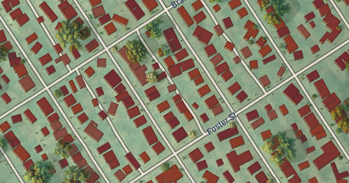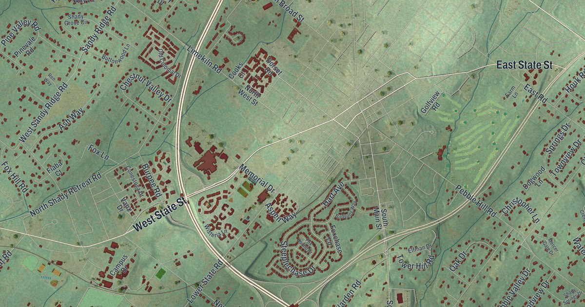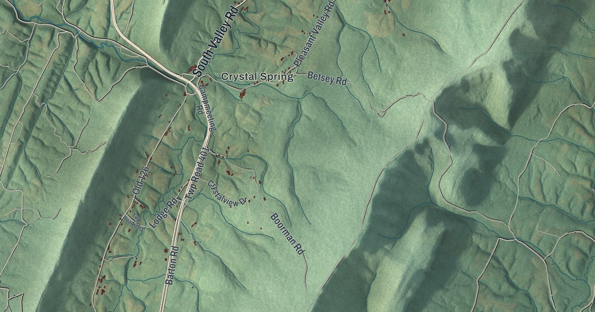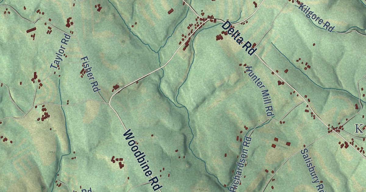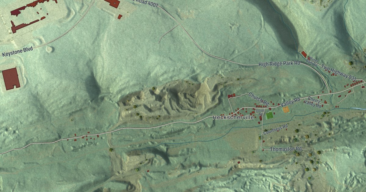
This beautifully detailed map of Cass, Schuylkill County, Pennsylvania was created in 2026 using aerial imagery combined with modern topographical, census, street and landmark data. It’s a one-of-a-kind view of Cass that combines accurate data with a vintage aesthetic. The map shows every building in its true location, many of the roads carry their names, and the shaded topographic relief shows the shape of the land.
Explore an aerial view of Cass, Schuylkill County, Pennsylvania
On the map you’ll find Cass Township Municipal Building, Coal Castle, Duncott, Forestville, Heckscherville, Jonestown, Pine Hill, and Primrose, along with Sunbury Road, Oak Lane, Valley Road, Schaeffer Hill Road, and more. If you look closely you can even find your house accurately drawn in its correct location. Zoom in on the preview to look for yours.
Take a closer look at the Cass, Schuylkill County map
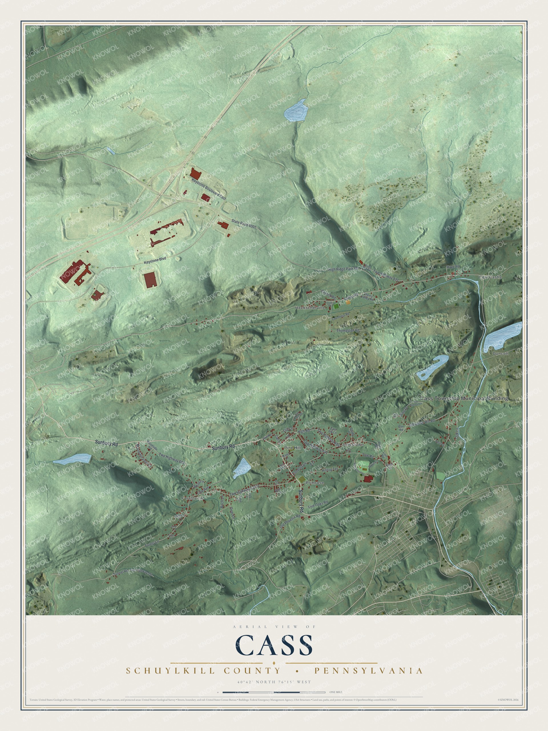
Street and place names on the Cass, Schuylkill County, Pennsylvania map
These names are printed on the map of Cass, Schuylkill County, Pennsylvania.
Places: Cass Township Municipal Building, Coal Castle, Duncott, Forestville, Heckscherville, Jonestown, Pine Hill and Primrose.
Streets and roads: Sunbury Road, Oak Lane, Valley Road, Schaeffer Hill Road, Forest Lane, High Ridge Park Road, State Road 4007, Keystone Boulevard, High Road, Twp Highway 604, Twp Highway 53071, Twp Highway 608.
More street names, A to Z
Birch Lane, Blue Lane, Cherry Valley Road, Church Road, Clover Road, Coal Lane, Condors Lane, Courtneys Road, Deer Lane, East Elk Lane, Elm Road, Fern Lane, Fern Road, Field Road, Fir Road, Fox Lane, Gray Lane, Haze Road, High School Lane, Hilltop Terrace, Keystone Boulevard East, Lily Lane, Line Avenue, Lion Road, Live Oaks Road, Low Road, May Lane, Mountain View Lane, North Maple Avenue, Old Phoenix Road, Owl Lane, Owl Road, Pine Drive, Plum Road, Robin Lane, Rose Lane, Setter Lane, Shady Lane, Sparrow Lane, Thomaston Road, Tulip Lane, Tunnel Road, Twp Highway 557, Twp Highway 641, Twp Highway 831, Twp Highway 834, Water Dam Road, Water Lane, West Lytle Lane, White Lane, Woodside Road.
See the Cass, Schuylkill County, Pennsylvania map on a wall
The Cass, Schuylkill County map as an 18 x 24 inch print in a black frame.

This beautifully detailed map of Cass, Schuylkill County makes an attractive addition to your office, library, or den, and it can even be used to teach children the geography and history of the area. It also makes a great gift for someone who left Cass and still calls it home. When you’re done exploring, click here to get your copy of the Cass, Schuylkill County map.