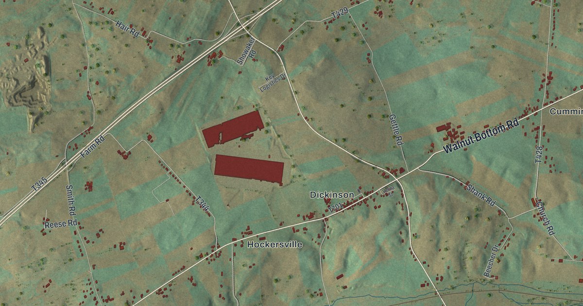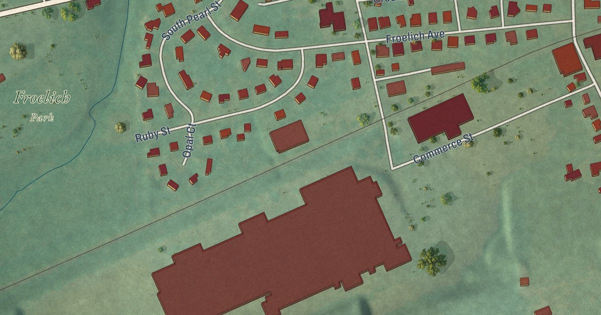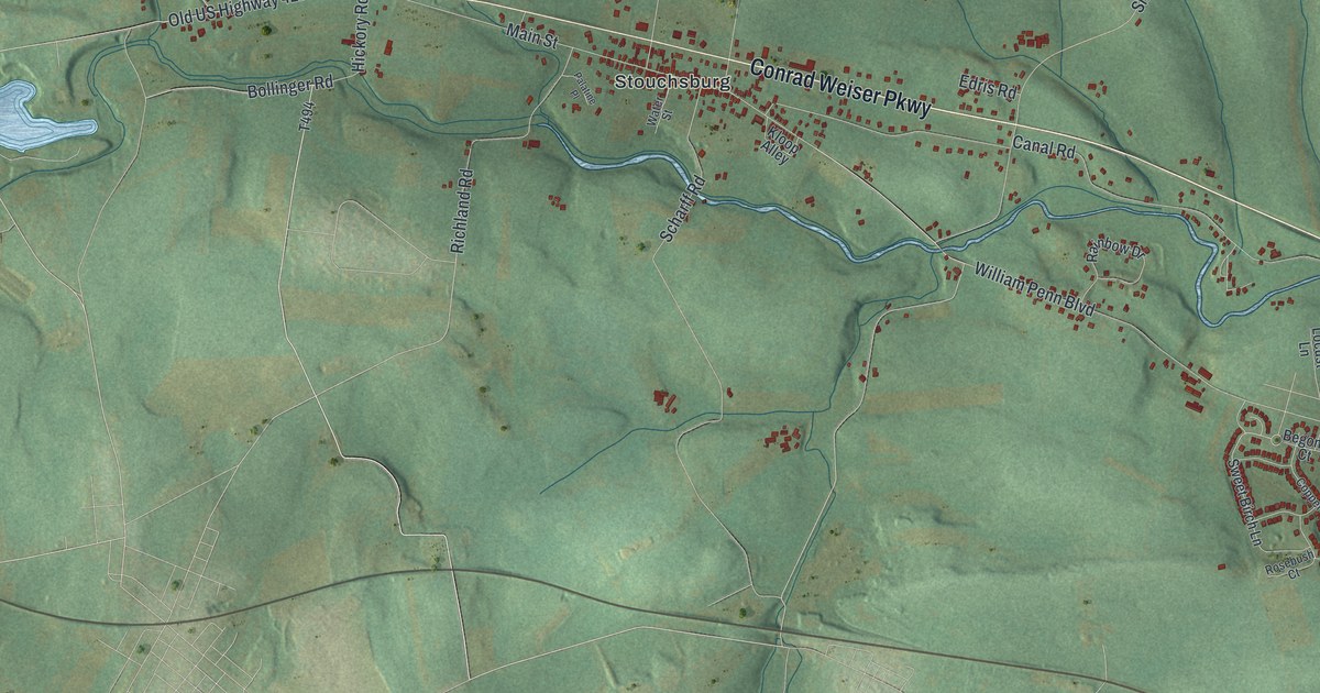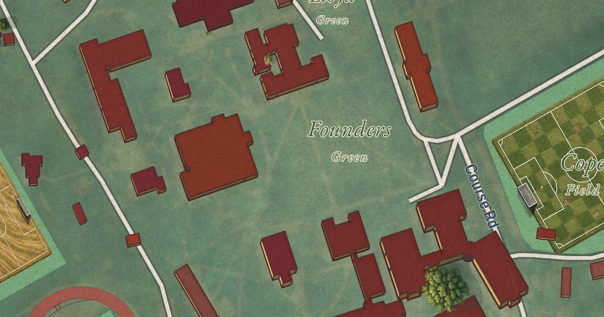
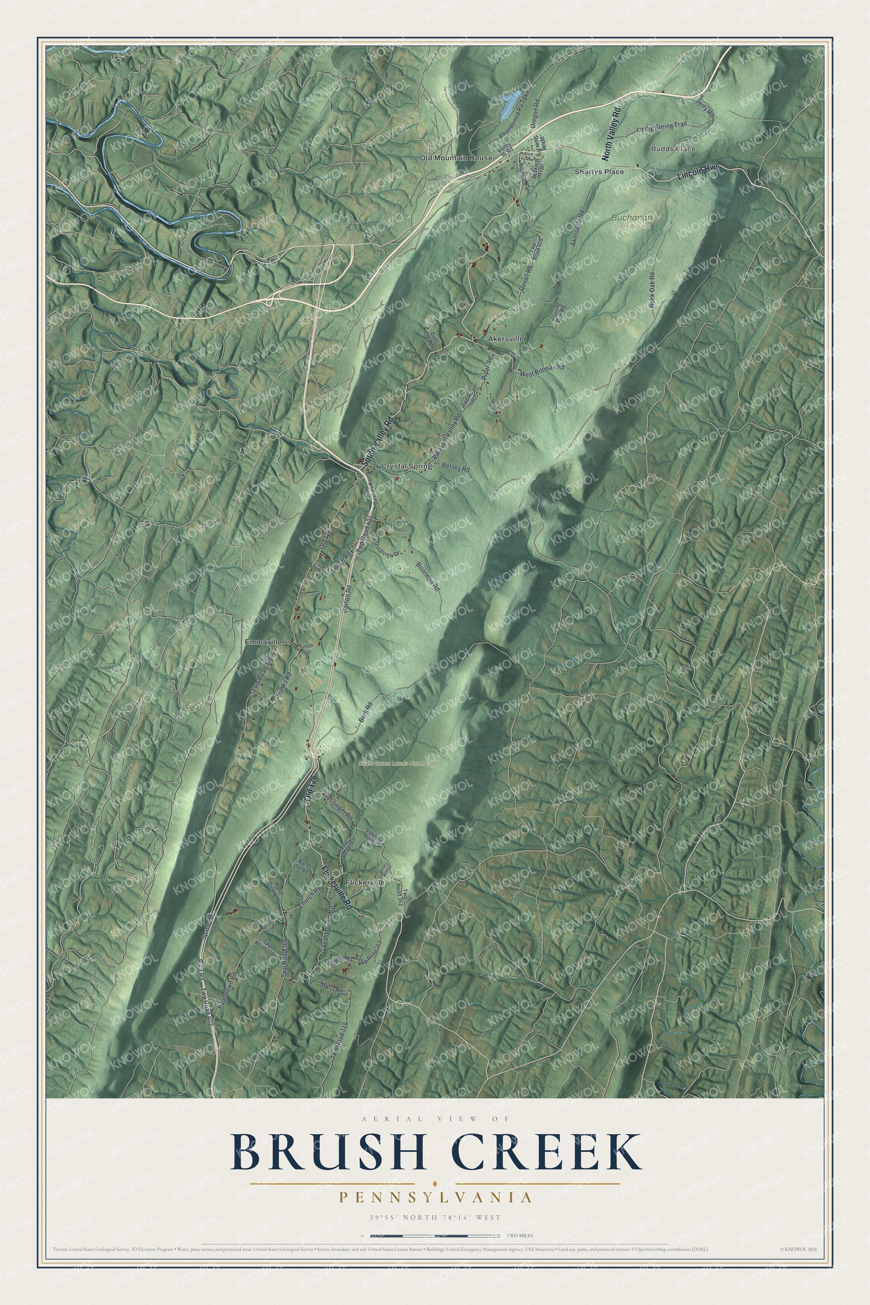
This beautifully detailed map of Brush Creek, Pennsylvania was created in 2026 using aerial imagery combined with modern topographical, census, street and landmark data. It’s a one-of-a-kind view of Brush Creek that combines accurate data with a vintage aesthetic. The map shows every building in its true location, many of the roads carry their names, and the shaded topographic relief shows the shape of the land.
Explore an aerial view of Brush Creek, Pennsylvania
On the map you’ll find Budds Place, Buchanan State Forest, State Game Lands Number 65, Akersville, Crystal Spring, Emmaville, Flickerville, Old Mountain House, Shortys Place, and Old 126, along with Lincoln Highway, North Valley Road, and more. If you look closely you can even find your house accurately drawn in its correct location. Zoom in on the preview to look for yours.
Did you know this piece of Brush Creek, Pennsylvania history?
From the 1884 History of Bedford, Somerset, and Fulton Counties, Pennsylvania: "In Brush Creek township the outcrop is Pocono sandstone along the mountains, and Mauch Chunk red shale (Carboniferous) along the creek. The same rocks appear in Wells township, west of Sideling hill."
Take a closer look at the Brush Creek map
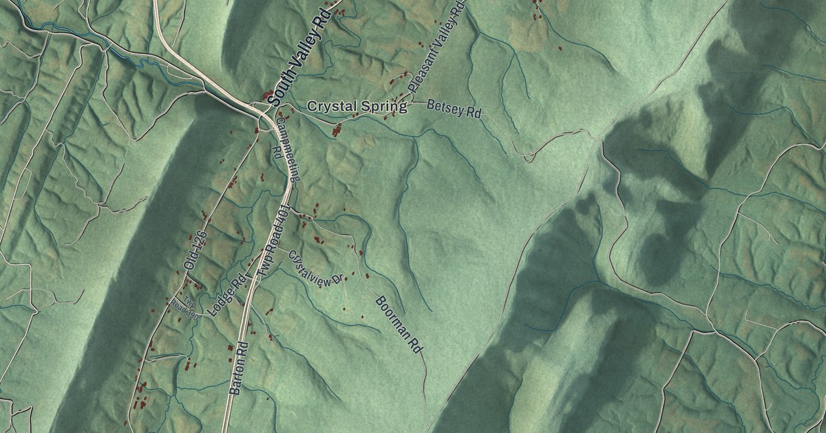
Street and place names on the Brush Creek, Pennsylvania map
These names are printed on the map of Brush Creek, Pennsylvania.
Places: Budds Place, Buchanan State Forest, State Game Lands Number 65, Akersville, Crystal Spring, Emmaville, Flickerville, Old Mountain House and Shortys Place.
Streets and roads: Lincoln Highway, North Valley Road, Old 126, South Valley Road, Flickerville Road, Spade Road, Pleasant Valley Road, Bark Road, Twp Road 402, Twp Road 366, Twp Road 376, Duvall Road.
More street names, A to Z
Abandoned Pa Turnpike, Akersville Road, Bards Dairy Lane, Barton Road, Betsey Road, Birch Road, Boorman Road, Campmeeting Road, Church Road, Crystalview Drive, Deer Glen Lane, Fischer Road, Hanks Road, Hickory Trail, Jerry Road, Laidig Spring Trail, Locust Grove Road, Lodge Road, Mose Diehl Lane, Moss Road, Oregon Road, Papertown Road, Piper Road, Plessinger Road, Poplar Lane, Rice Road, Roaring Run Road, Rock Oak Road, Sideling Hill Road, Smith Lane, Twp Road 318, Twp Road 336, Twp Road 359, Twp Road 362, Twp Road 365, Twp Road 390, Twp Road 401, Twp Road 408, Twp Road 4005, Valley Hi Road, West Hess Road, West Pittman Road, White Deer Drive, Windy Hill Lane.
See the Brush Creek, Pennsylvania map on a wall
The Brush Creek map as an 18 x 24 inch print in a black frame.

This beautifully detailed map of Brush Creek makes an attractive addition to your office, library, or den, and it can even be used to teach children the geography and history of the area. It also makes a great gift for someone who left Brush Creek and still calls it home. When you’re done exploring, click here to get your copy of the Brush Creek map.