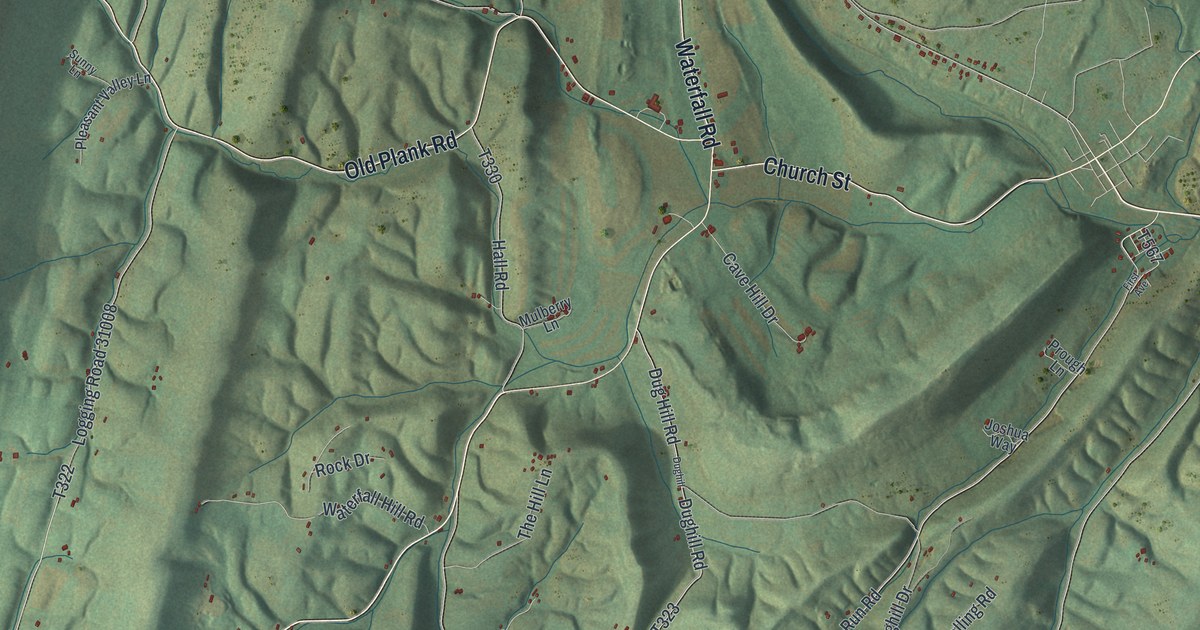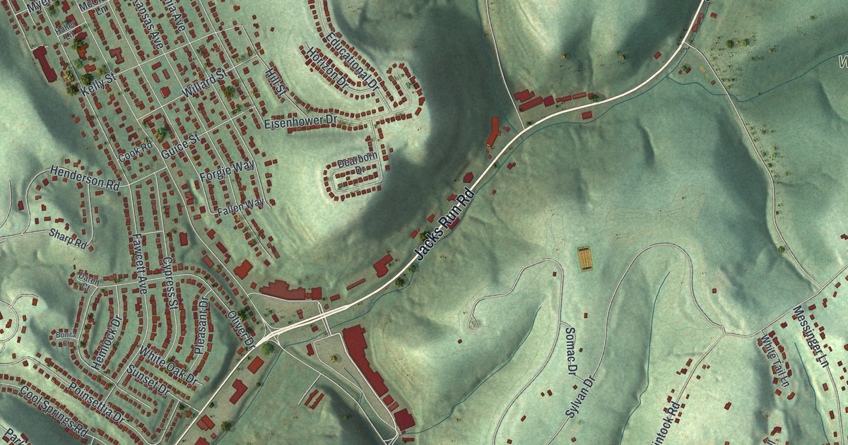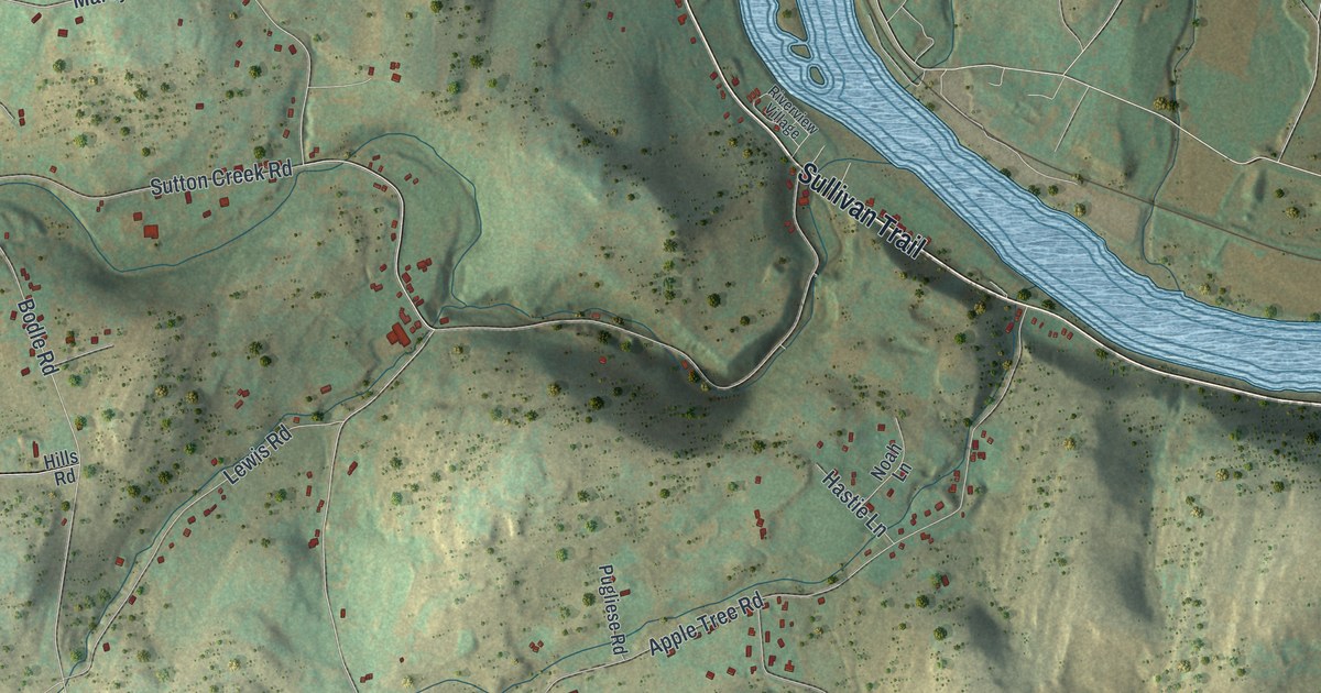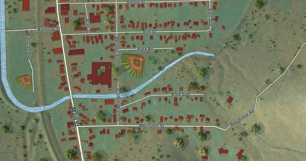
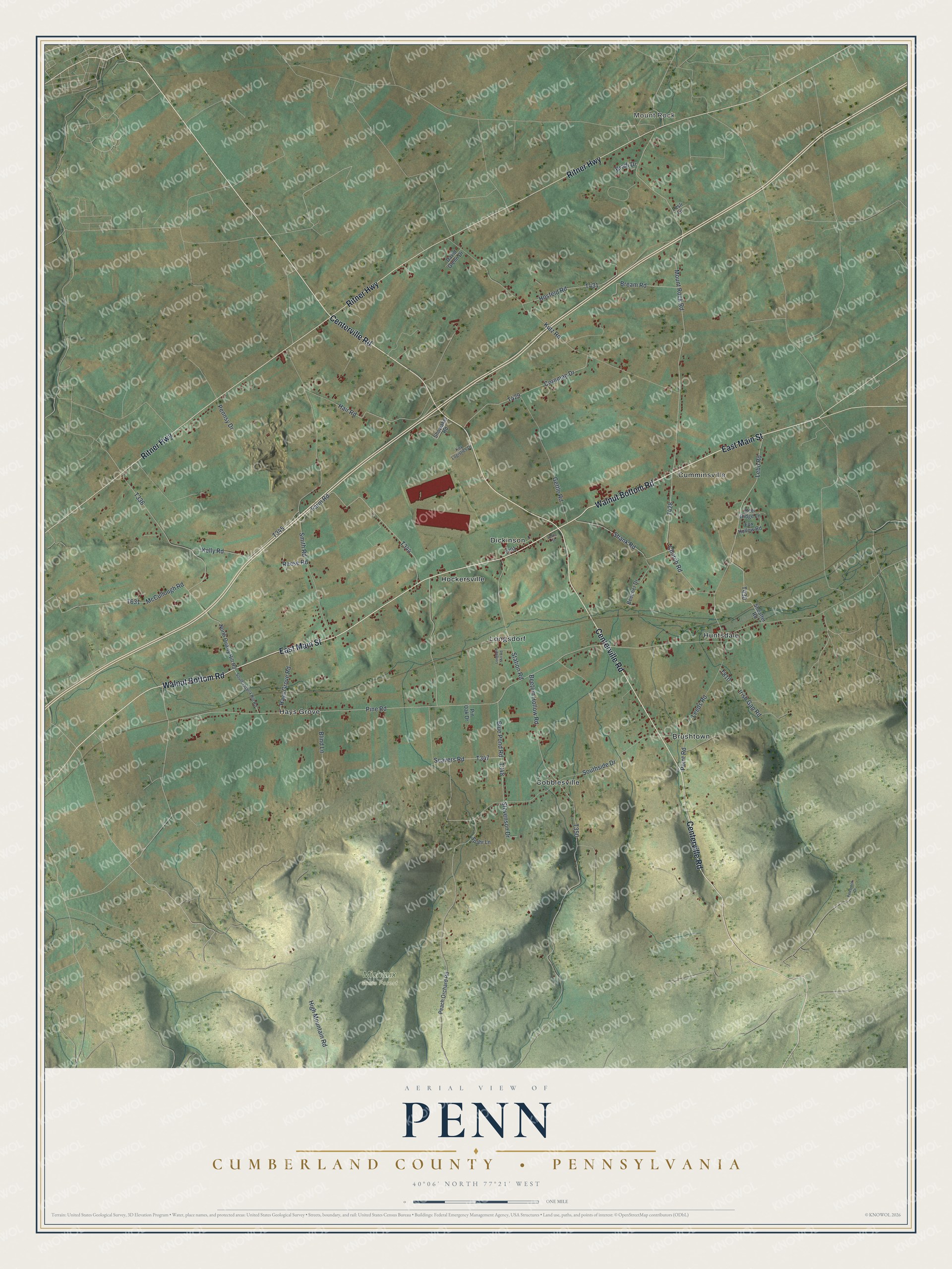
This beautifully detailed map of Penn, Cumberland County, Pennsylvania was created in 2026 using aerial imagery combined with modern topographical, census, street and landmark data. It’s a one-of-a-kind view of Penn that combines accurate data with a vintage aesthetic. The map shows every building in its true location, many of the roads carry their names, and the shaded topographic relief shows the shape of the land.
Explore an aerial view of Penn, Cumberland County, Pennsylvania
On the map you’ll find Mount Rock, Michaux State Forest, Brushtown, Cobblesville, Cumminsville, Dickinson, Hays Grove, Hockersville, Huntsdale, and Longsdorf, along with East Main Street, Centerville Road, and more. If you look closely you can even find your house accurately drawn in its correct location. Zoom in on the preview to look for yours.
Did you know this piece of Penn, Cumberland County, Pennsylvania history?
From the 1886 History of Cumberland and Adams Counties, Pennsylvania: "Of late years they sometimes run dry in the summer months, but it may be interesting to state that before the time when so much timber had, sometimes needlessly, been destroyed, they were much larger and more copious streams."
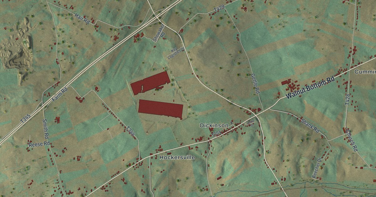
Take a closer look at the Penn, Cumberland County map
Street and place names on the Penn, Cumberland County, Pennsylvania map
These names are printed on the map of Penn, Cumberland County, Pennsylvania.
Places: Mount Rock, Michaux State Forest, Brushtown, Cobblesville, Cumminsville, Dickinson, Hays Grove, Hockersville, Huntsdale and Longsdorf.
Streets and roads: East Main Street, Centerville Road, Ritner Highway, Walnut Bottom Road, Southside Drive, Church Road, High Mountain Road, Pine Road, Mount Rock Road, Beetem Hollow Road, Farm Road, Smith Road.
More street names, A to Z
Beecher Drive, Blind Lane, Blue Pond Road, Bradi Drive, Bream Road, Cornman Drive, David Glenn Drive, Deer Ridge Lane, Fox Hollow Road, Gettle Road, Hair Road, Hays Grove Road, Hosfeld Road, Irish Gap Road, Kelly Road, Key Logistics Drive, Kutz Road, Lebo Road, Leeds Road, Lesli Lane, Longdorf Mill Road, McCullough Road, North Quarry Hill Road, Peach Orchard Road, Pennsy Drive, Pinebrook Drive, Pin Oak Drive, Point Road, Reese Road, Seavers Road, Shank Road, Sheaffer Road, Showaker Road, South Quarry Hill Road, Spahr Lane, Station Road, Stevenson Drive, Verna Street.
See the Penn, Cumberland County, Pennsylvania map on a wall
The Penn, Cumberland County map as an 18 x 24 inch print in a black frame.

This beautifully detailed map of Penn, Cumberland County makes an attractive addition to your office, library, or den, and it can even be used to teach children the geography and history of the area. It also makes a great gift for someone who left Penn and still calls it home. When you’re done exploring, click here to get your copy of the Penn, Cumberland County map.