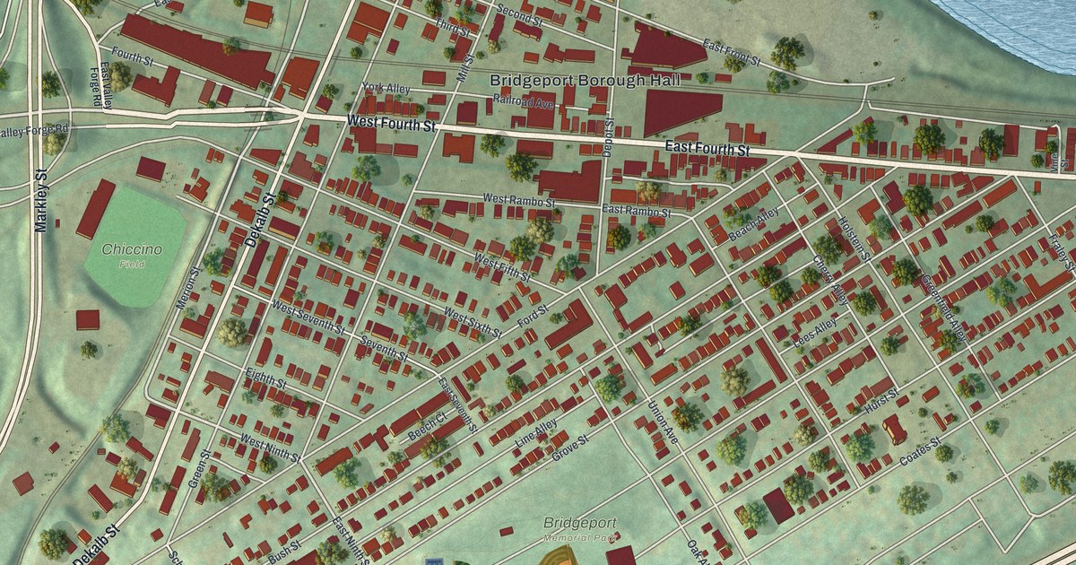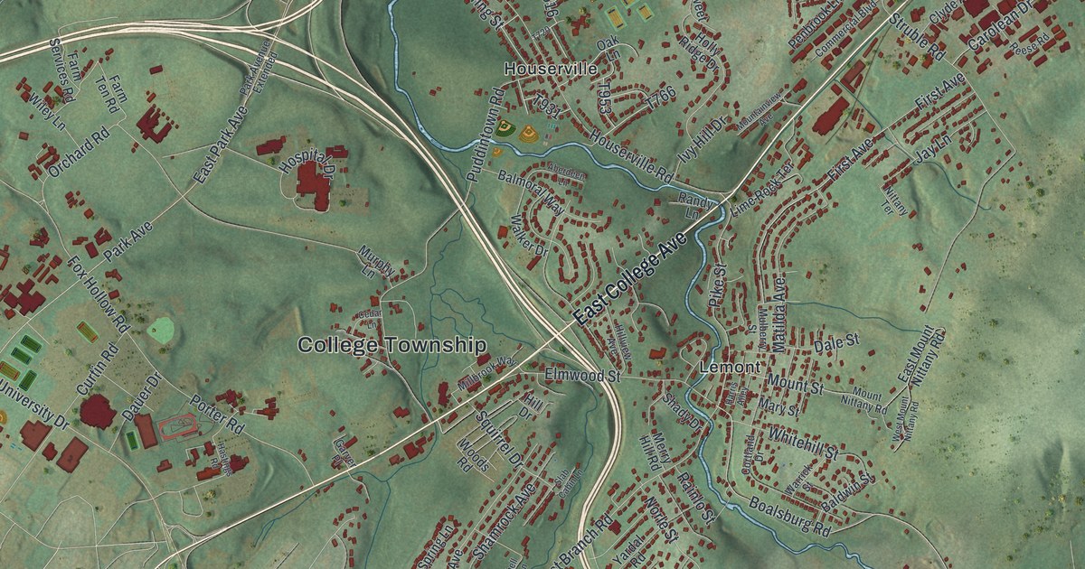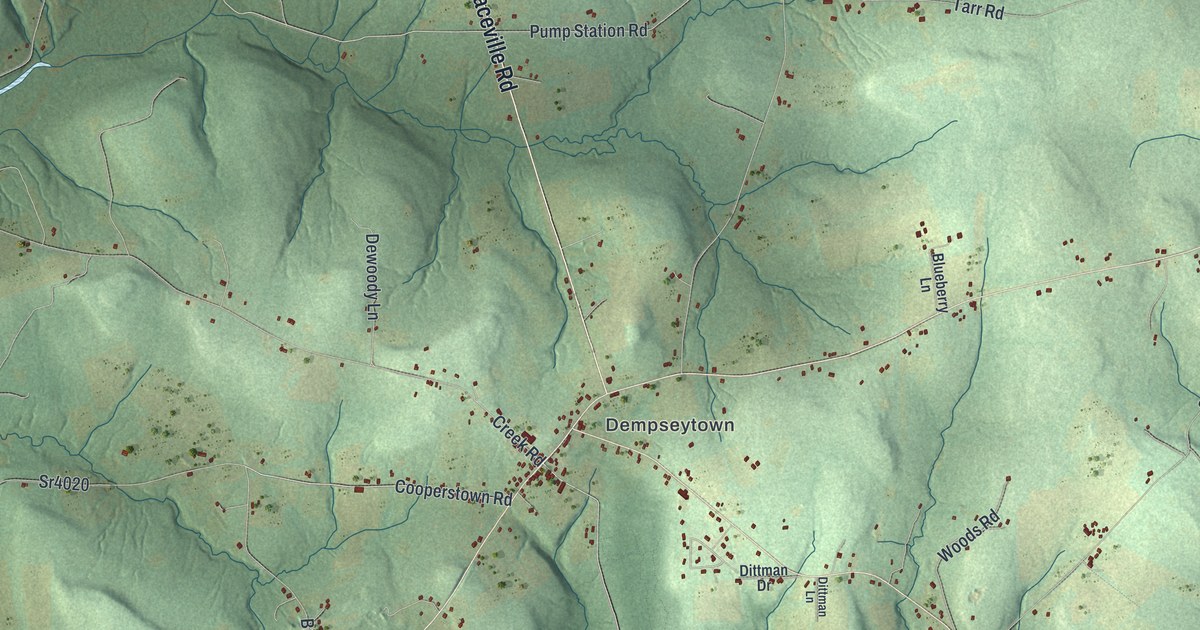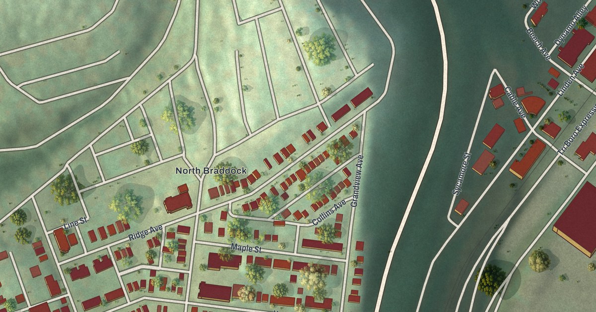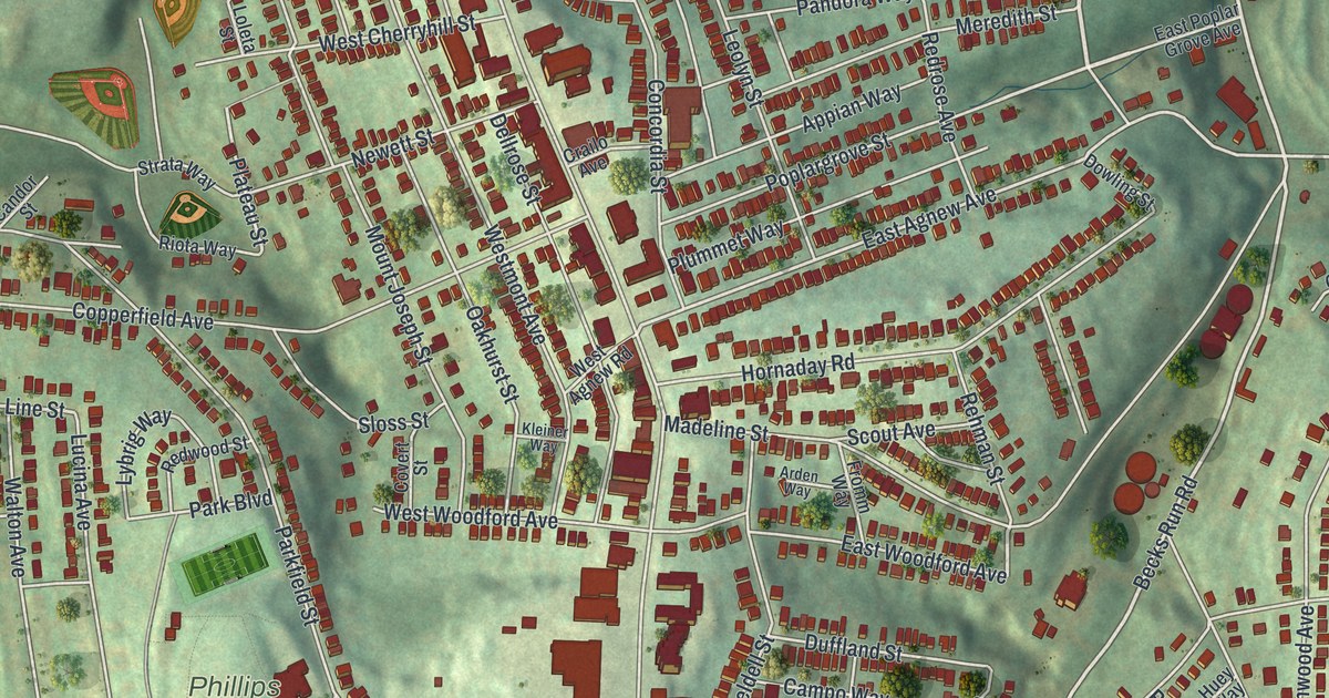
If you grew up along Brownsville Road or still have family on a Carrick hillside, this map is for you. It's a modern aerial view of the Pittsburgh neighborhood of Carrick in Allegheny County, Pennsylvania, made from modern data and given a vintage feel. Thousands of red buildings crowd the ridge. Brownsville Road runs down the middle, with green hills, parks and cemeteries around the edges.
Brownsville Road, Phillips Park and Your Street
On this map you'll find Brownsville Road, Saw Mill Run Boulevard, Carrick Avenue, Phillips Park, Birmingham Cemetery, South Side Cemetery, Overbrook, Overbrook Boulevard, Becks Run Road, East Agnew Avenue, Parkfield Street, Madeline Street, Hornaday Road, Churchview Avenue, and more. Each red shape is a building, so zoom in on the preview and look for yours.
How the Carrick Post Office Started in 1853
Carrick started as a small village. A county history printed in 1889 says it had several hundred people. It had local stores, a Methodist church and a new Odd Fellows hall. The Carrick post office had been open since December 23, 1853. The Engleart glassworks were close by, and the book says the village was sometimes called Engleartville. The same book lists people whose mail came to the Carrick post office. One was R. Woodford, born in 1835. His father, William, came over from England in 1822. The same name is printed on the map today, on East Woodford Avenue and West Woodford Avenue. And the post office name is printed on Carrick Avenue and across the title panel.
The John M. Phillips Marker on Brownsville Road
A state historical marker stands at St. Pius X Byzantine Catholic Church, 2336 Brownsville Road. It honors John M. Phillips, who lived from 1861 to 1953. His home was on that spot. The marker says he created the state game land system. It became a model for the whole nation. He helped start the Pennsylvania Game Commission. He was also one of the first to bring Boy Scouting to Pennsylvania. Brownsville Road runs through the center of the map, with red buildings along both sides.
A Carrick Map From Brownsville Road to Overbrook
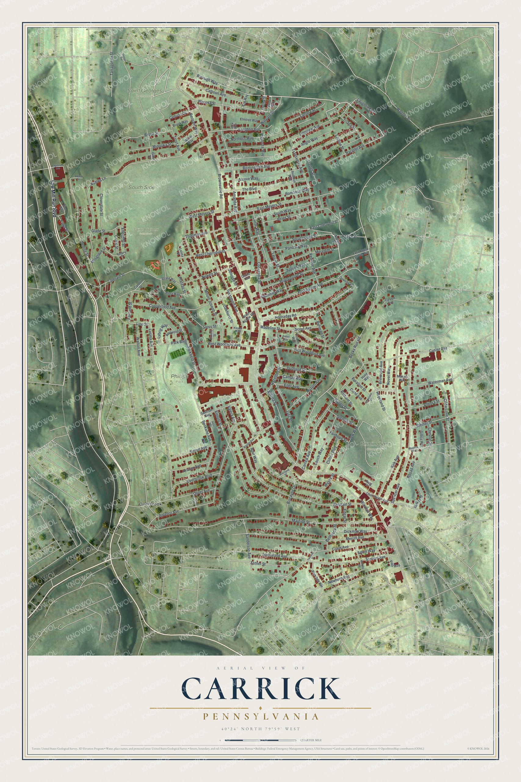
Created by KNOWOL in 2026, the print shows Carrick's hills in soft shades of green, with buildings in deep red and streets in thin pale lines. A cream title panel at the bottom reads Aerial View of Carrick, Pennsylvania, with 40°24' North 79°59' West below it.
It suits a living room, a hallway or a kitchen wall. It's a good gift for someone who went to church on Brownsville Road, grew up near Phillips Park, or moved away and still calls Carrick home. Open the preview and find the street you know. See sizes and frames for the Carrick map.