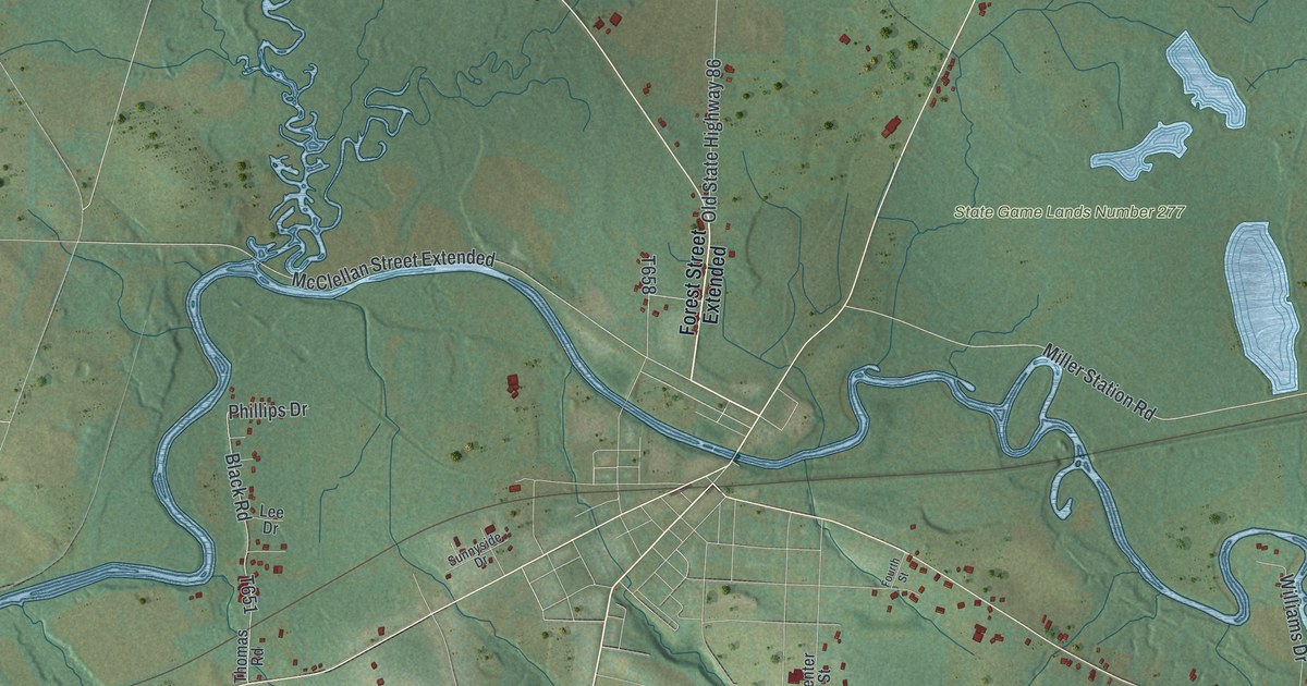
If you grew up in Cambridge Township, down by French Creek or up in the hills along Humes Hill Road, this map is for you. It's a modern aerial view of Cambridge Township in Crawford County, Pennsylvania, made from modern data and given a vintage artistic feel. Green hills fill the sheet. A wide blue creek winds across the middle, and a smaller one twists down from the top left to meet it. Near Drakes Mills, a long lake sits beside that smaller creek. Tiny red shapes mark buildings along the back roads.
Drakes Mills, Humes Hill Road and More
On this map you'll find Highway 19, Old State Highway 86, Drakes Mills, State Game Lands Number 277, Humes Hill Road, Sherred Hill Road, Allen Road, Miller Station Road, Yankee Hill Road, Mount Pleasant Road, Ridge Road, Center Street Extended, Gravel Run Road, Jericho Road, and more. Each red shape is a building, so zoom in on the preview and look for yours.
How Cambridge Township got its name
Cambridge Township was formed in 1852 from part of Venango Township. It took its name from the village of Cambridge. The 1885 History of Crawford County says the village's founder, Mr. Christy, came from Massachusetts. He likely named it after the New England city. The same book says French Creek crosses the whole township. Conneaut Creek comes in from Erie County and flows into it. The flat land along French Creek made good grain fields. On the map, those two creeks are the blue lines that meet left of center.
Robert Humes and the first farms
Most of the land here once belonged to the Holland Land Company, and its books list the first settlers. Robert Humes, a man from Ireland, came to Meadville in 1796. He likely reached Cambridge Township in the spring of 1797. He farmed here until he died, and his brother Archibald settled nearby. James Blair, another Irishman, picked his farm on the clay hilltop where the chestnut trees grew biggest. He thought the largest trees meant the best land. By 1885, the book says, the Allens owned that farm. Peter Saeger was a blacksmith, and his farm later became the Sherred and Minium places. Look for Humes Hill Road, Allen Road and Sherred Hill Road on the map. Those family names are still there.
A map of Cambridge Township to keep close
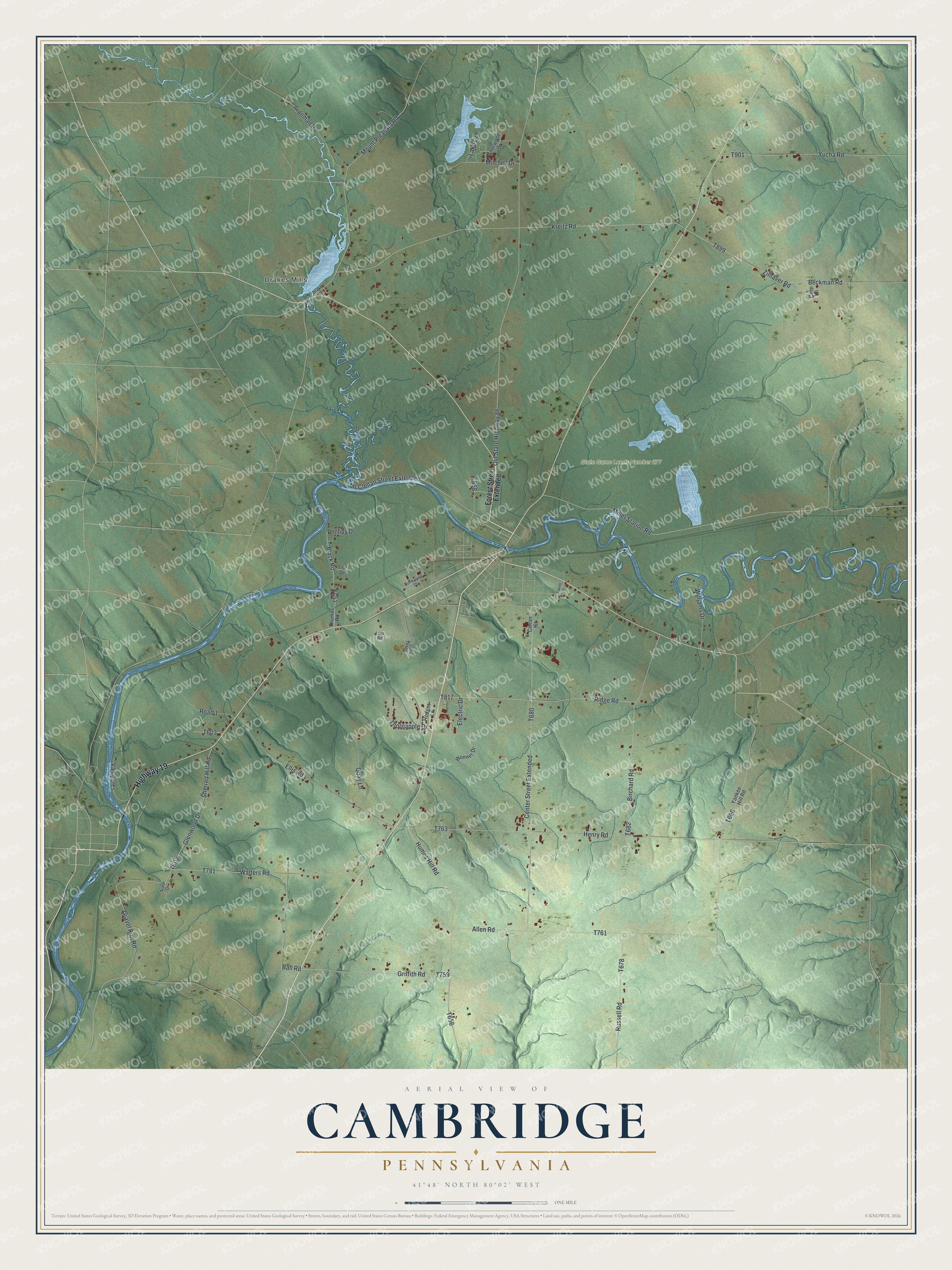
Created by KNOWOL in 2026, this print shows Cambridge Township in soft greens, with shaded hills, blue creeks and lakes, and red buildings along the roads. The title panel at the bottom reads Aerial View of Cambridge, Pennsylvania, with 41°48' North 80°02' West below it.
It fits a living room, a den, a farmhouse kitchen or an office. It's a good gift for someone who grew up near Drakes Mills, or for family who moved away and want French Creek on the wall. Open the preview and find the road you know best. See sizes and frames for the Cambridge map.