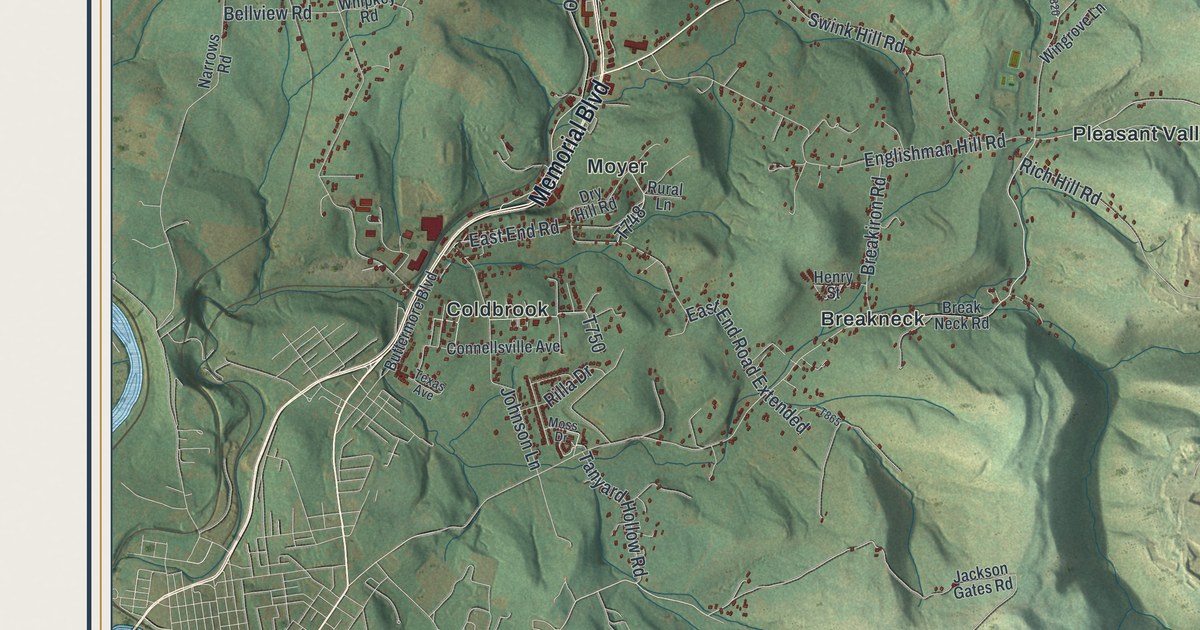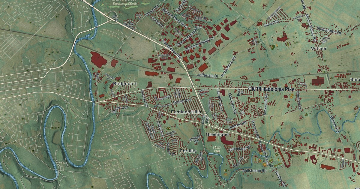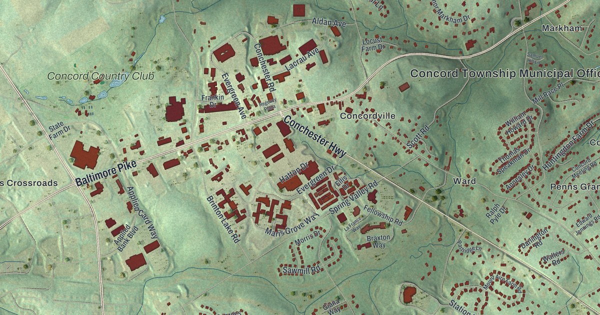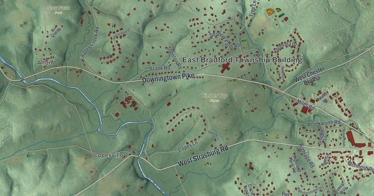
If you grew up off Downingtown Pike, went to camp at Paradise Farm Camps or live near Sconnelltown, this map shows the roads you know. It's a modern aerial view of East Bradford Township in Chester County, Pennsylvania, drawn from modern data with a vintage feel. Green hills are shaded across the whole sheet, and a blue creek winds from the top left down to the bottom. Buildings are marked in red. They're packed close on the east side and spread thin over the western hills. Explore the print options for East Bradford.
From the East Bradford Township Building to Copesville
Start at the East Bradford Township Building, near the middle of the sheet. Downingtown Pike runs right past it. Copeland School Road heads north from there, up past Sunset Hollow Road to Harmony Hill Road and Brandywine Road. Now go back to Downingtown Pike and head west. Timber Top Farm sits just below the pike. Then you'll reach Alton, where the road meets the creek. The creek isn't labeled, but it's the Brandywine. Skelp Level Road climbs north from Alton past Starr Farm Park and Harmony Hill. Now follow the creek south. It bends past Copesville, where West Strasburg Road crosses it. Below that, Stroud Preserve fills the quiet green middle of the sheet. Lucky Hill Road and Allerton Road lead on down to Wawaset and Bridge Road. Many roads are labeled, and each red shape is a building, so zoom in on the preview and look for yours.
How Cope's bridge came to cross the Brandywine
In 1748, John Cope was expected at Bradford Meeting. He was to declare that he planned to marry Elizabeth Fisher. He didn't show up. The meeting's records say this was "thought to be occasioned by the great floods." Early settlers here needed bridges, most of all when rain raised the streams. Years later, neighbors passed around a paper asking for help to build one. It would cross the East Branch of the Brandywine at Taylor's ford. The paper said locals, travelers and market people faced "great Difficulty & sometimes danger" there. The bridge would be planked over for men and horses. People could give money or pay in work. Francis Townsend had a saw-mill, so he gave one hundred feet of plank. Nathan Cope kept track of the work, and the workers' meals were counted at four pence each. The paper wasn't dated, but it's thought to be from 1767. All of this is told in the History of Chester County, printed in 1881.
The stone bridge standing there in 1881 was built in 1807. The history calls the crossing the stone bridge at Edge T. Cope's. Later, part of its wall fell into the creek, date stone and all. The stone was damaged, so a new one went in. Someone from the Parke family carried the old stone home. It lay at the foot of their door steps for a long time. Then Anthony Taylor bought the Parke farm and set the stone in the gable wall. Just below the bridge, on the west side of the creek, rocks rise sixty or seventy feet from the water. They're called Deborah's Rocks. A sad legend grew up around the name, but the history says it has no basis. The rocks were part of the land Samuel Taylor left to his wife, Deborah, for her lifetime. The same history places Cope's bridge on the Strasburg road. On the print, West Strasburg Road crosses the creek just east of Copesville. Copes Lane runs east from Copesville toward Timber Top Farm.
How Bradford became East Bradford in 1731
Bradford Township was organized about 1705. On November 30, 1731, the county court split it in two, and the eastern part became East Bradford. The name probably came from Bradford in Yorkshire, England, or the Bradford on the Avon in Wiltshire. The taxpayers listed in 1753 include families named Cope, Taylor, Jefferies, Darlington and Townsend. On the map, Darlington Drive comes off Lenape Road, and Jefferies Bridge Road runs up toward the center. Over on the east side, Sconnelltown and Allegiance sit along Birmingham Road. A 1915 state plaque at Birmingham Road and Squires Drive says the British Army stopped at Sconnelltown on September 11, 1777. Cornwallis' division was on its march to the Battle of Brandywine.
For someone who knows Downingtown Pike and Sconnelltown
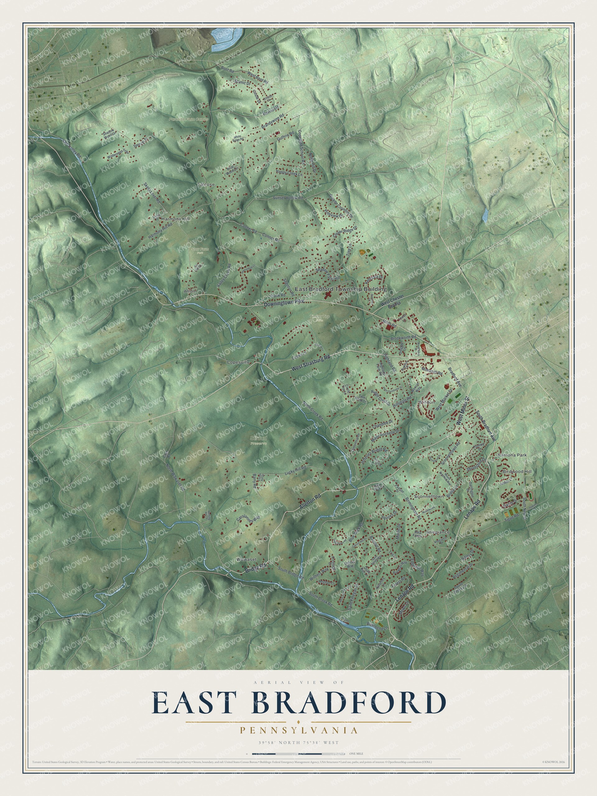
Created by KNOWOL in 2026, the print shades East Bradford's hills in soft green from USGS elevation data. The creek winds through in blue, and buildings show in deep red. Street and boundary lines come from Census Bureau records. Under the map, the title panel says "Aerial View of East Bradford, Pennsylvania" above the coordinates 39°58' North, 75°38' West and a one-mile scale bar.
It fits a family room, a home office or the wall by the back door. It's a good gift for someone who grew up near Harmony Hill, a former camper from Paradise Farm Camps, or a friend who moved away from Chester County. Open the preview and follow Downingtown Pike to a road you know. Shop the East Bradford, Pennsylvania map.