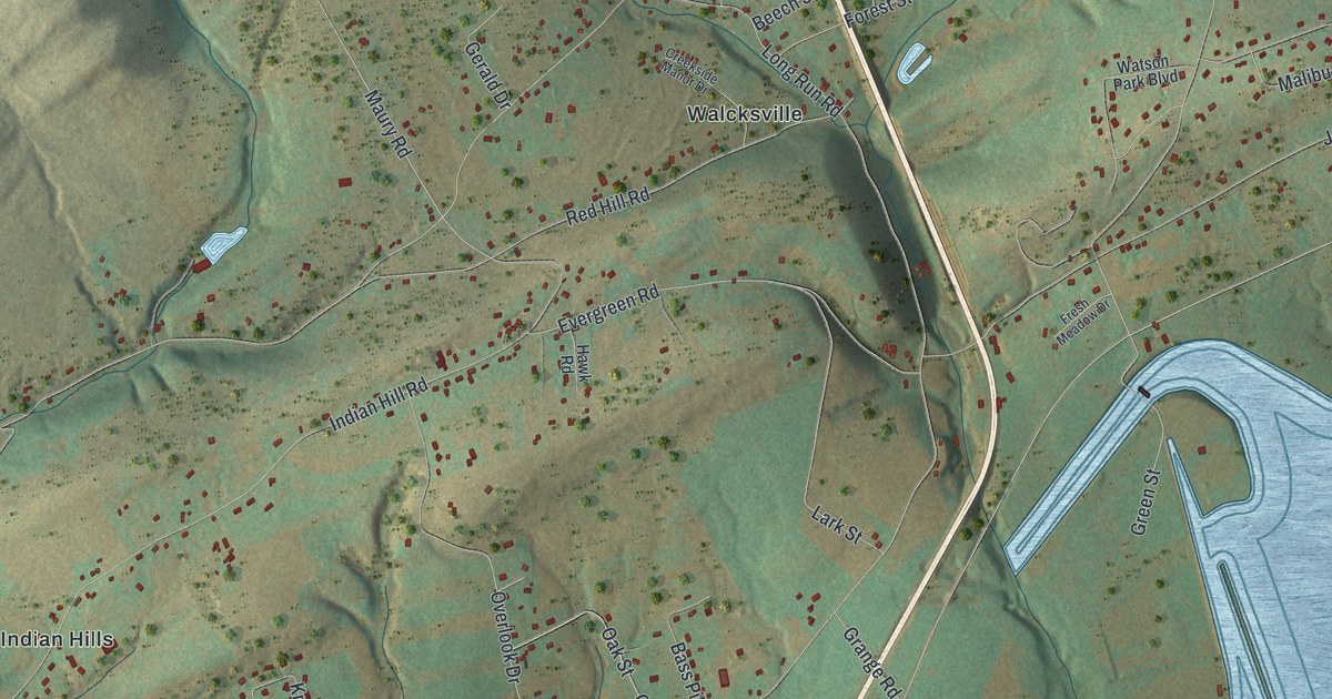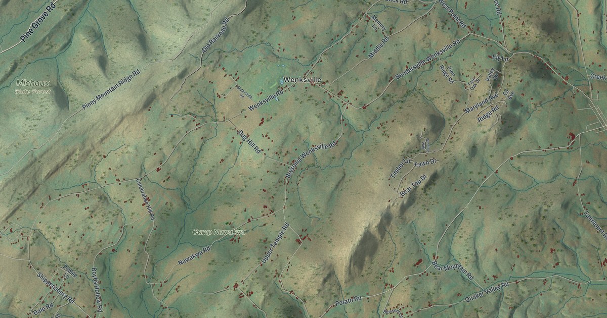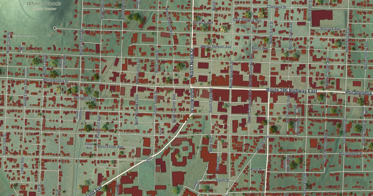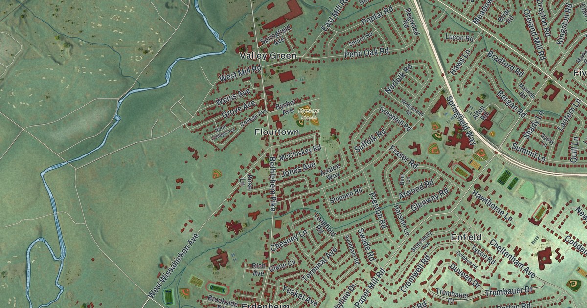
If you grew up in Springfield, you can look for your old block here. This modern aerial view of Springfield in Montgomery County, Pennsylvania pairs modern data with a vintage feel. Red buildings fill the streets around Flourtown, Erdenheim, and Wyndmoor. Green terrain and winding blue water give the wider view its shape.
Wyndmoor and East Mermaid Lane
On this map you'll find Bethlehem Pike, Paper Mill Road, Stenton Avenue, Church Road, Willow Grove Avenue, East Mermaid Lane, Pennsylvania Avenue, Haws Lane, Flourtown, Erdenheim, Wyndmoor, Enfield, and more. Each red shape is a building, so zoom in on the preview and look for yours.
Wyndmoor has a place in the early story of live television. The Philo T. Farnsworth historical marker tells of experiments in the late 1930s. Farnsworth, the inventor of electronic television, led some of the first live local TV tests. His station was called W3XPF. The marker places it at 1260 East Mermaid Lane in Wyndmoor. You'll find both the street and the neighborhood named on this map. Those familiar names connect today's view to the work of an early TV inventor.
Keep Springfield and Wyndmoor Close
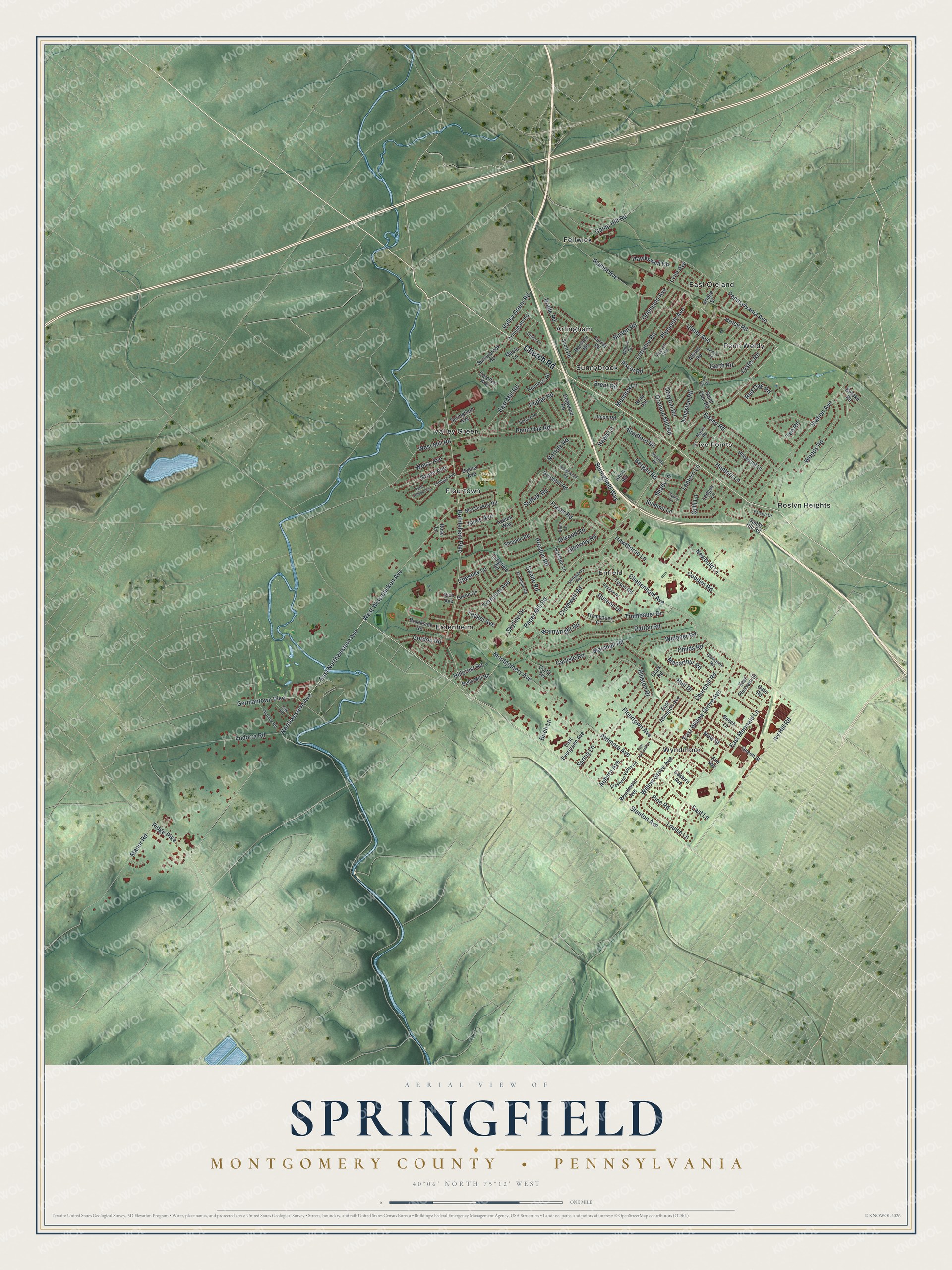
Created by KNOWOL in 2026, this print uses soft green terrain, red building shapes, and blue water. A cream border surrounds the view. The title panel reads AERIAL VIEW OF SPRINGFIELD, MONTGOMERY COUNTY • PENNSYLVANIA, with 40°06' NORTH 75°12' WEST below.
Hang it in a living room, home office, or entryway. It's a thoughtful gift for someone who grew up in Wyndmoor and moved away. Open the preview to take a closer look at the streets they know. See sizes and frames for the Springfield, Montgomery County map.