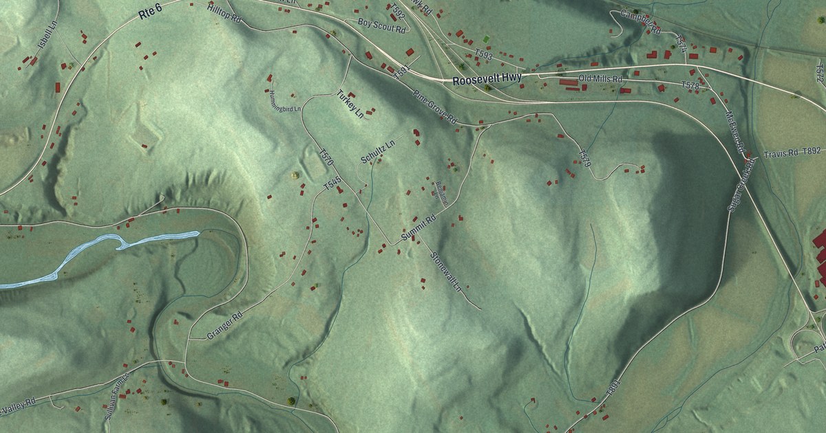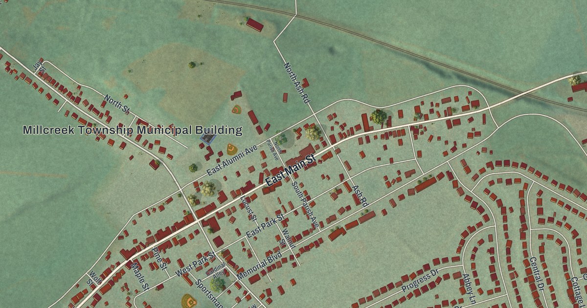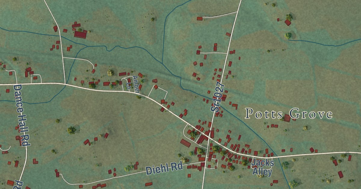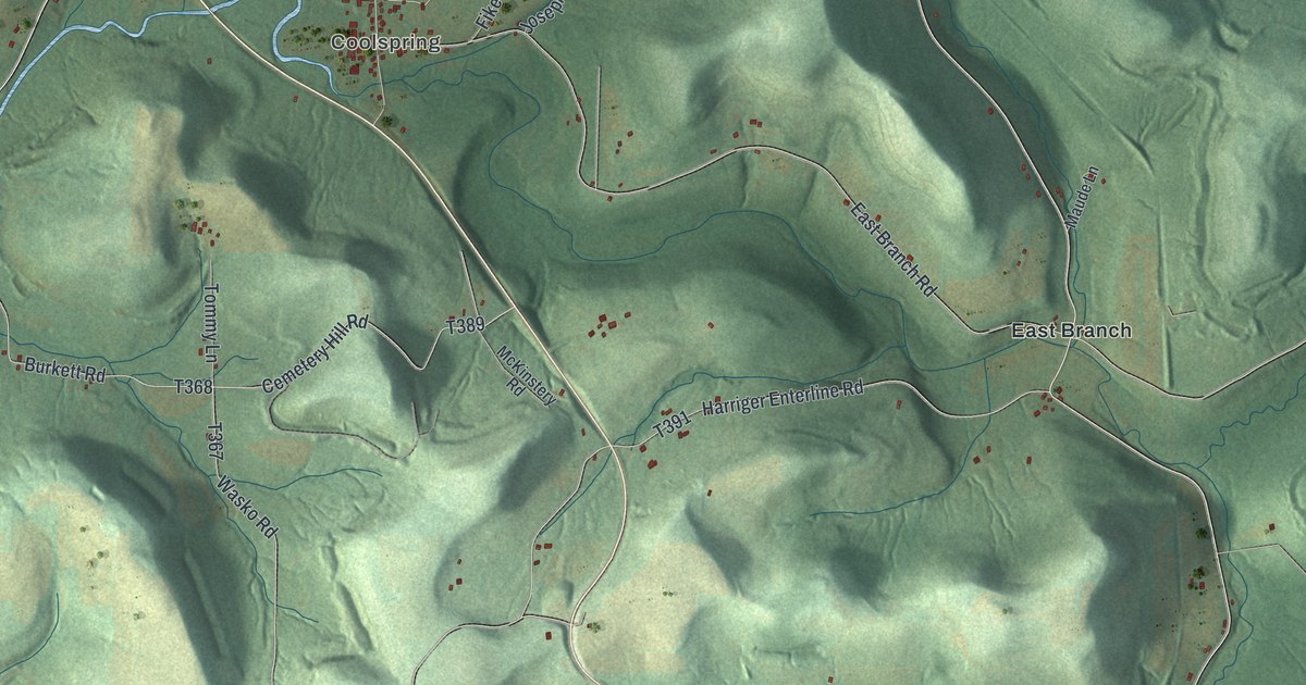
This beautifully detailed map of Oliver, Jefferson County, Pennsylvania was created in 2026 using aerial imagery combined with modern topographical, census, street and landmark data. It’s a one-of-a-kind view of Oliver that combines accurate data with a vintage aesthetic. The map shows every building in its true location, many of the roads carry their names, and the shaded topographic relief shows the shape of the land.
Explore an aerial view of Oliver, Jefferson County, Pennsylvania
On the map you’ll find Oliveburg, Sprankle Mills, Coolspring, Markton, State Game Lands Number 31, Coulter, and East Branch, along with North Main Street, Colonel Drake Highway, Burkett Hollow Road, River Road, Kunselman Road, and more. If you look closely you can even find your house accurately drawn in its correct location. Zoom in on the preview to look for yours.
Did you know this piece of Oliver, Jefferson County, Pennsylvania history?
From the 1888 History of Jefferson county, Pennsylvania, with illustrations and biographical sketches of some of its prominent men and pioneers: "About 1836 a school-house was built on land of William Newcome's, in Oliver township, near where the old State road was crossed by the road from Worthville to Punxsutawney. The first term of school was taught in it by Miss Margaret McKinstry."
Take a closer look at the Oliver, Jefferson County map
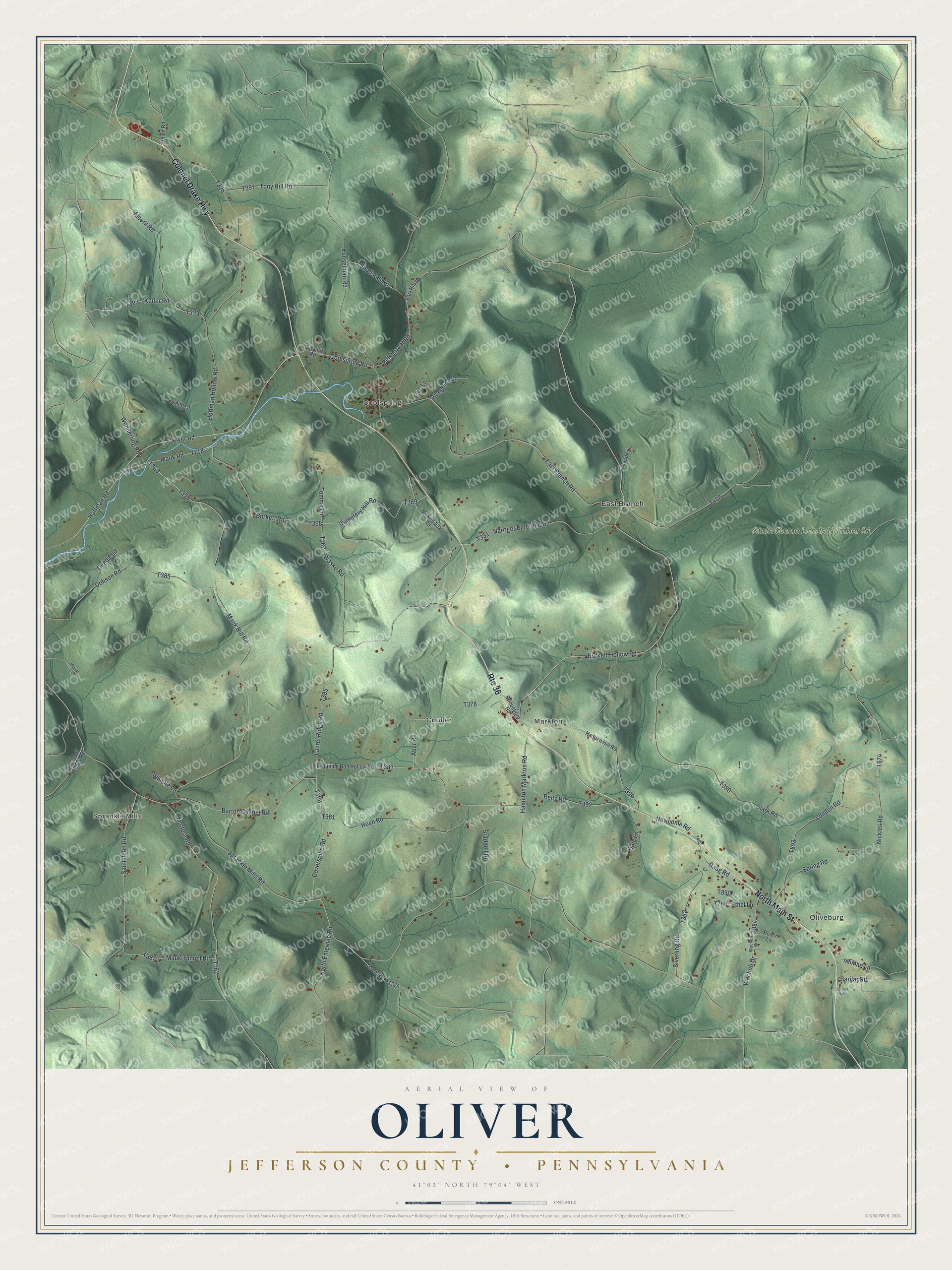
Street and place names on the Oliver, Jefferson County, Pennsylvania map
These names are printed on the map of Oliver, Jefferson County, Pennsylvania.
Places: Oliveburg, Sprankle Mills, Coolspring, Markton, State Game Lands Number 31, Coulter and East Branch.
Streets and roads: Route 36, North Main Street, Colonel Drake Highway, Burkett Hollow Road, River Road, Kunselman Road, Hoffman Road, Coon Road, Keifer Road, Cemetery Hill Road, Mauk Hill Road, Sprankle Mills Road.
More street names, A to Z
Aber Road, Alcorn Road, Barilar Road, Barr Hill Road, Barton Chapel Road, Belshazzar Road, Bodenhorn Road, Bouch Lane, Burkett Road, Clark Road, Coolspring Road, Dale Lane, Dead End, Dobson Road, Doverspike Road, East Branch Road, Ethel Lane, Fike Lane, Haag Road, Hadden Hill Road, Hamilton Markton Road, Harriger Enterline Road, Hoch Road, Hoffman Hollow Road, Ishman Lane, Jordan Lane, Josephine Lane, Laurel Ridge Road, Lightning Rod Hollow Road, London Road, Maude Lane, Mauk Road, Mauk Tunnel Road, Maurer Lane, McKinstery Road, Millen Road, Mottern Road, Newcome Road, Nickles Road, North Enterline Road, Pheasant Hollow Road, Pine Run Church Road, Reitz Road, Saint John Road, Shoffstall Road, Siverling Road, Smith Lane, Spring Road, Startzell Road, Straitiff Road, Tommy Lane, Tony Hill Road, Wachob Drive, Wachob Road, Wasko Road, Whistle Lane, Wonderling Road.
See the Oliver, Jefferson County, Pennsylvania map on a wall
The Oliver, Jefferson County map as an 18 x 24 inch print in a black frame.

This beautifully detailed map of Oliver, Jefferson County makes an attractive addition to your office, library, or den, and it can even be used to teach children the geography and history of the area. It also makes a great gift for anyone who grew up in Oliver or moved away. When you’re done exploring, click here to get your copy of the Oliver, Jefferson County map.