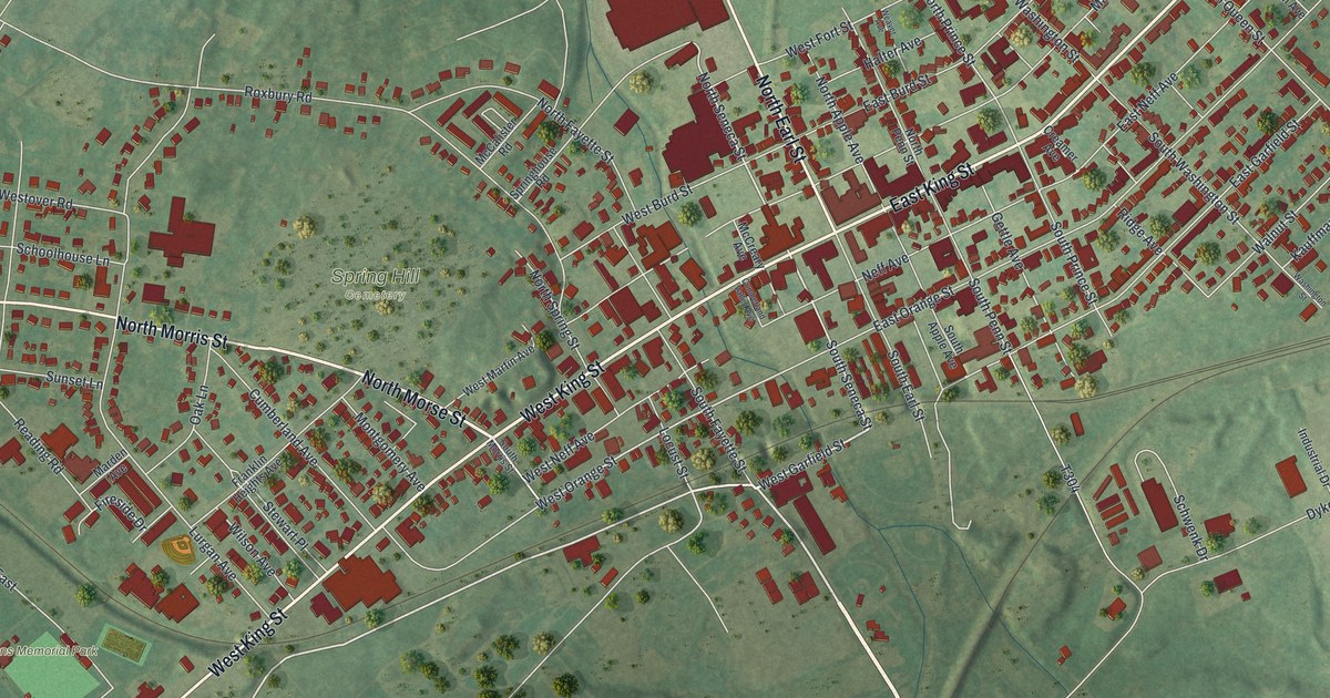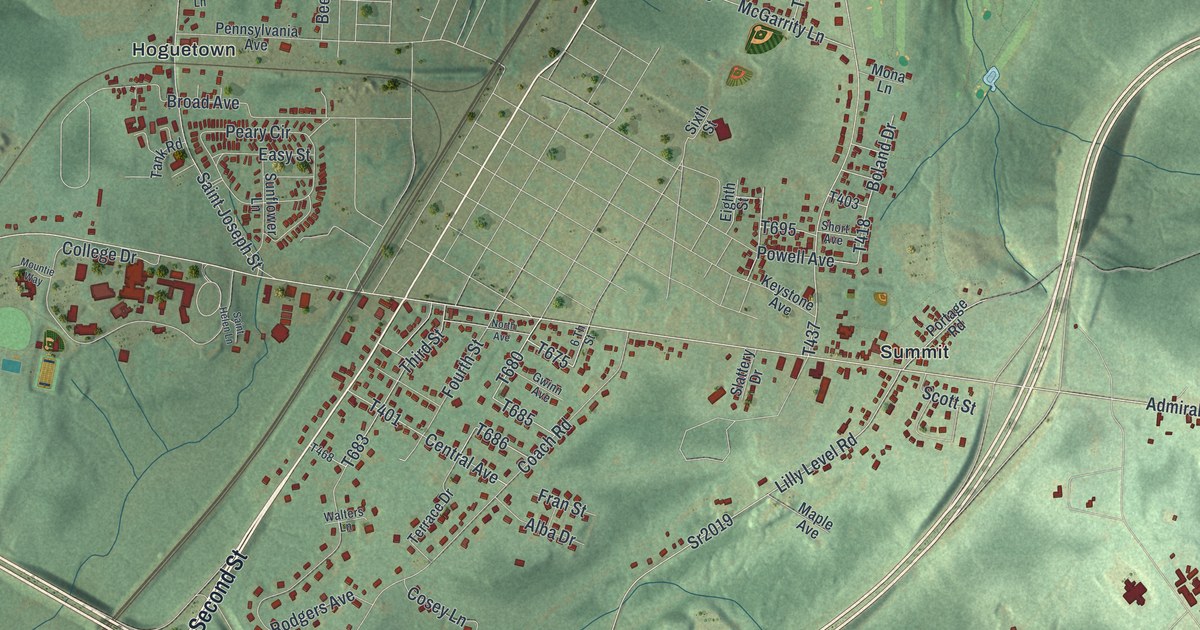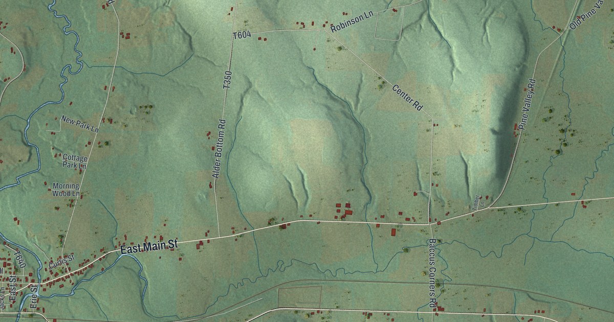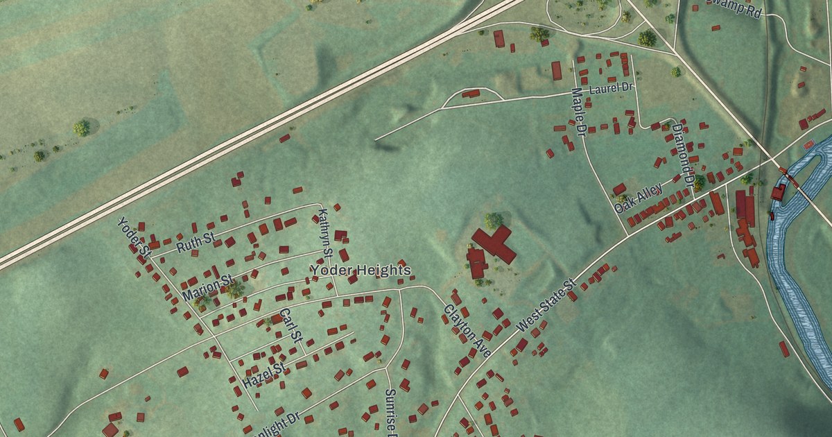
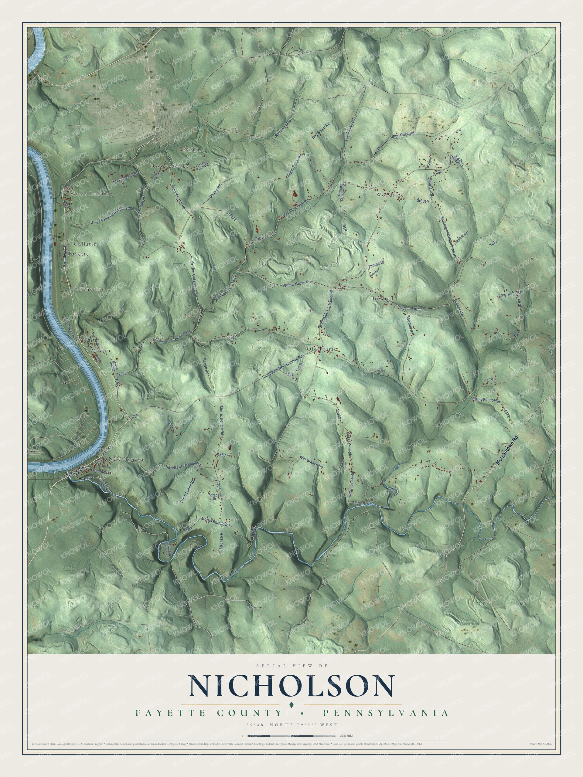
This beautifully detailed map of Nicholson, Fayette County, Pennsylvania was created in 2026 using aerial imagery combined with modern topographical, census, street and landmark data. It’s a one-of-a-kind view of Nicholson that combines accurate data with a vintage aesthetic. The map shows every building in its true location, many of the roads carry their names, and the shaded topographic relief shows the shape of the land.
Explore an aerial view of Nicholson, Fayette County, Pennsylvania
On the map you’ll find Grays Landing, Bowood, Fayette, Gallatin, Griffin, Martin, New Geneva, Old Frame, Rocks Works, Sunshine, and Woodside, along with Ferry Street, and more. If you look closely you can even find your house accurately drawn in its correct location. Zoom in on the preview to look for yours.
Did you know this piece of Nicholson, Fayette County, Pennsylvania history?
From the 1882 History of Fayette County, Pennsylvania : "One of the earliest settlers within the territory now Nicholson township was George Wilson, who came to this section about the year 1765, and settled on Georges Creek."
Take a closer look at the Nicholson, Fayette County map
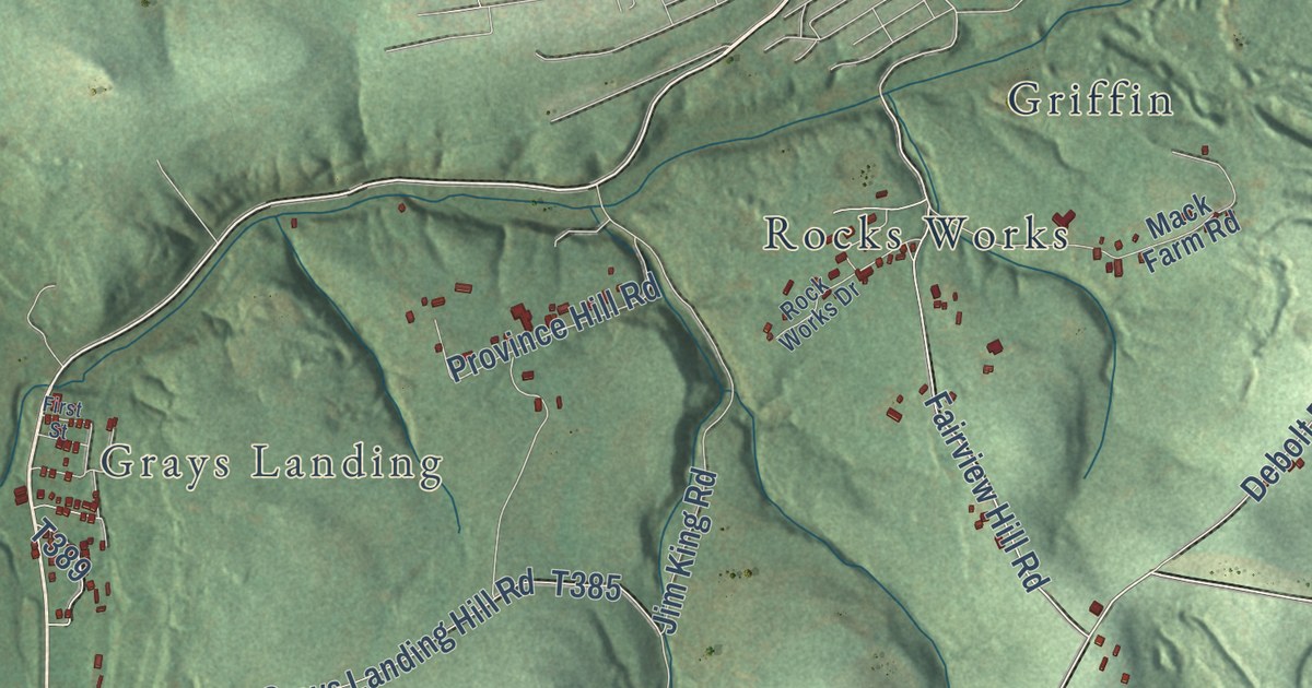
Street and place names on the Nicholson, Fayette County, Pennsylvania map
These names are printed on the map of Nicholson, Fayette County, Pennsylvania.
Places: Grays Landing, Woodside, New Geneva, Old Frame, Griffin, Martin, Bowood, Fayette, Sunshine, Rocks Works and Gallatin.
Streets and roads: Ferry Street, Morgantown Road, Smithfield New Geneva Road, Bowood Road, Guthrie Road, Griffen Old Frame Road, Sr3008, Willow Grove Road, Old Frame Road, Woodside Oldframe Road, War Branch Road, Lovers Leap Road.
More street names, A to Z
Berish Road, Big Hill Road, Blue Rock Road, Boy Scout Road, Broadway Street, Church Street, Debolt Road, Diamond Maldovan Road, Elizabeth Drive, Fairview Hill Road, First Street, Foggy Meadow Lane, Grays Landing Hill Road, Great Lakes Road, Griffith Road, Jacobs Creek Road, Jim King Road, Jocelynn Lane, Konicki Road, Lower Martin Road, Mack Farm Road, Martin Hill Road, Morris Boncic Road, Morris Buncic Road, New Geneva Back Road, Potprocky Ashby Ford Road, Province Hill Road, Pruli Lane, Rockwell Road, Rock Works Drive, Shortcut Road, Shrader Drive, Smithfield Masontown Road, South Street, Sr3003, Sr3009, Sr3010, Stronko Road, Sugar Ridge Road, Thorpe Drive, Tomcat Hollow Road, Tom Cat Hollow Road, Tr345, Valley School Road, Walters Lane, Yasenosky Road.
See the Nicholson, Fayette County, Pennsylvania map on a wall
The Nicholson, Fayette County map as an 18 x 24 inch print in a black frame.

This beautifully detailed map of Nicholson, Fayette County makes an attractive addition to your office, library, or den, and it can even be used to teach children the geography and history of the area. It also makes a great gift for anyone who grew up in Nicholson or moved away. When you’re done exploring, click here to get your copy of the Nicholson, Fayette County map.