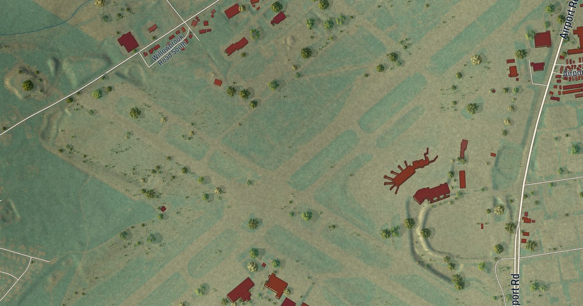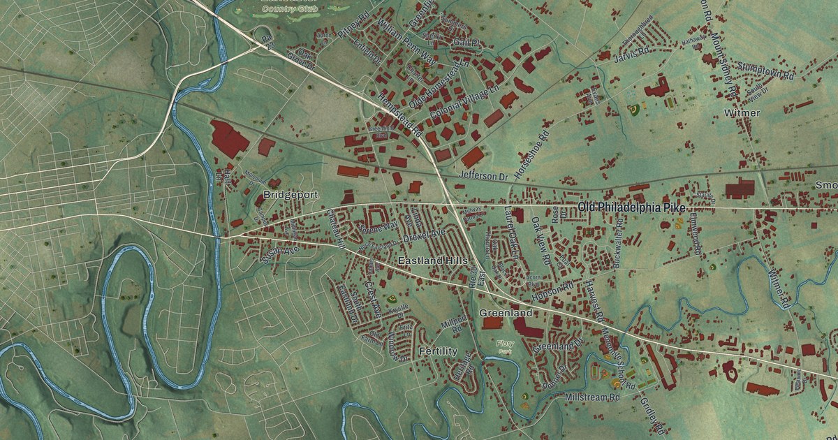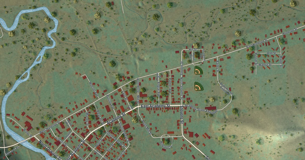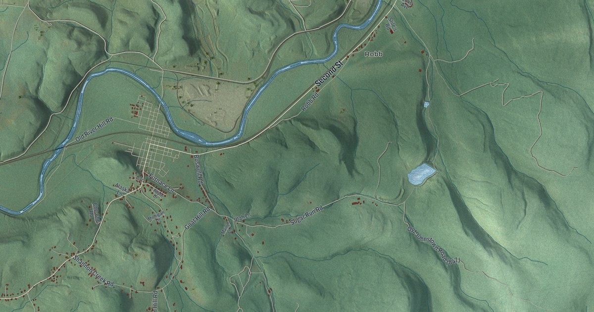
If you grew up near Hooverville, these hills may look like home. It's a modern aerial view built from modern data with a vintage feel, showing St. Clair in Westmoreland County, Pennsylvania. Green ridges rise above blue river bends, with red buildings clustered along roads. Look for Hooverville, Robb, and Baldwin Furnace among the printed names.
St. Clair's roads and its township name
On this map you'll find Second Street, Sugar Run Road, Shannon Creek Road, Old River Hill Road, Shrum Hill Road, Robb Road, Furnace Lane, Hooverville, Robb, Baldwin Furnace, Laurel Ridge, and more. Each red shape is a building, so zoom in on the preview and look for yours.
The name across the title panel honors General Arthur St. Clair. The 1882 county history says he lived nearby after the Revolutionary War. It also records the township's creation in 1856, when it was split from Fairfield. That account describes hilly land, with good farm soil in the center. You can see the folds of those hills in the map's shaded green terrain. Small clusters of red buildings and thin roads give you details to study between the ridges.
Keep St. Clair's hills close
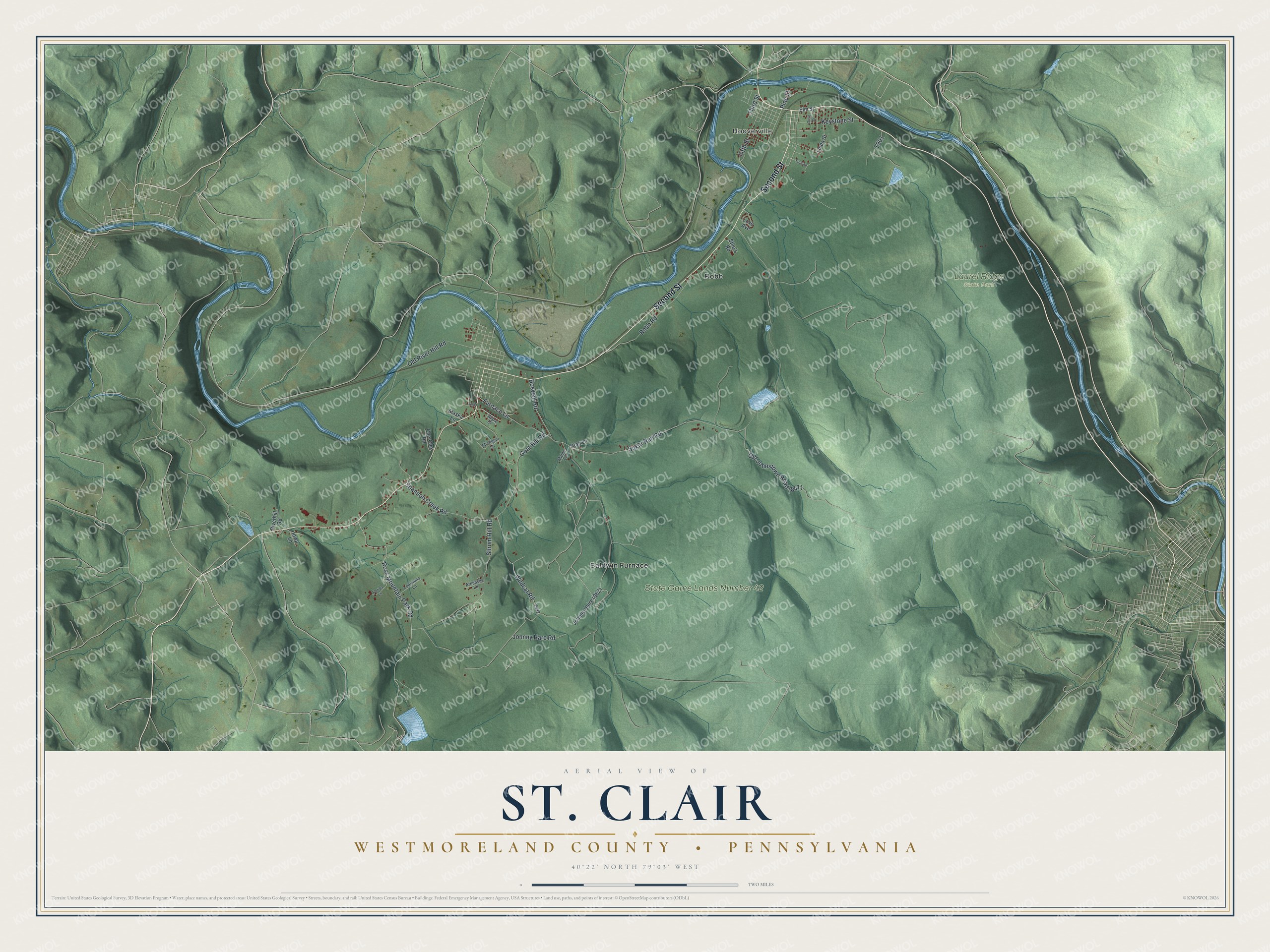
Created by KNOWOL in 2026, the print pairs shaded green hills with blue water, red buildings, and a cream border. The title panel reads AERIAL VIEW OF, ST. CLAIR, and WESTMORELAND COUNTY • PENNSYLVANIA. Below it are the coordinates 40°22' NORTH 79°03' WEST.
Hang it in a living room, office, or entryway for a view of home. It's a thoughtful gift for someone with family ties to Hooverville. Open the preview to find familiar roads and take a closer look at the hills around them. See sizes and frames for the St. Clair, Westmoreland County map.