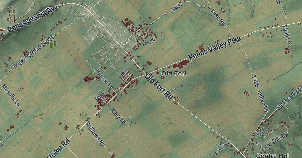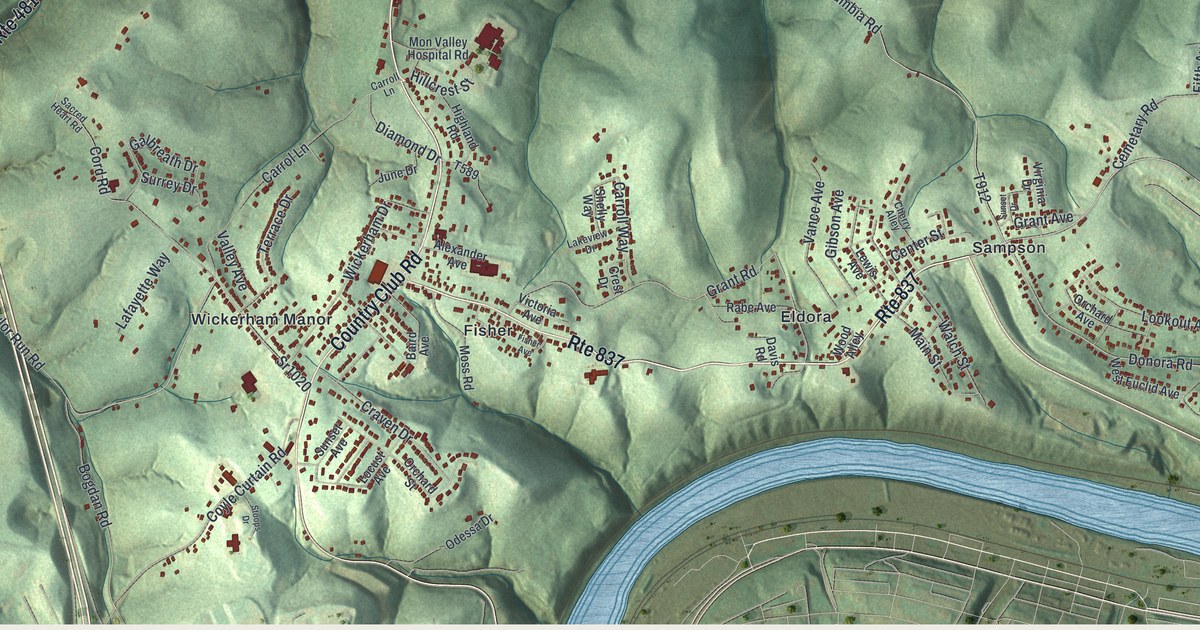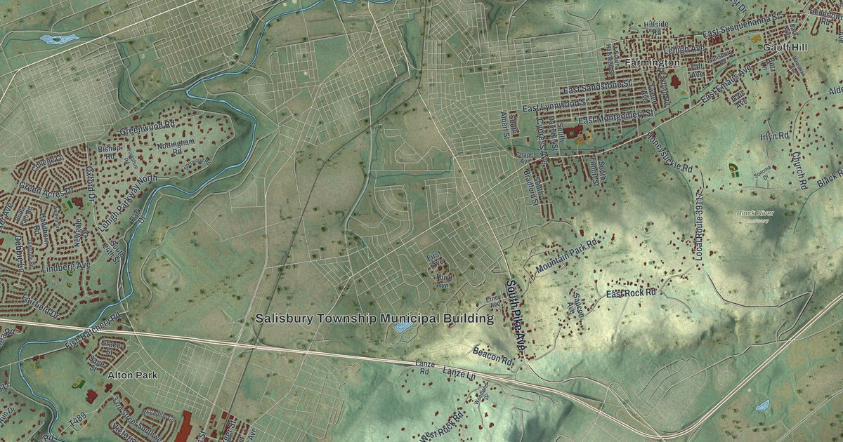
If you grew up in Stroudsburg or still walk Main Street past the courthouse, this map was made for you. It's a modern aerial view of Stroudsburg, the county seat of Monroe County, Pennsylvania, built from modern data and finished with a vintage look. Red buildings crowd both sides of Main Street downtown. Shaded green hills rise all around, and a blue creek curves down the right side of the sheet.
Main Street, Broad Street and Glen Park on the map
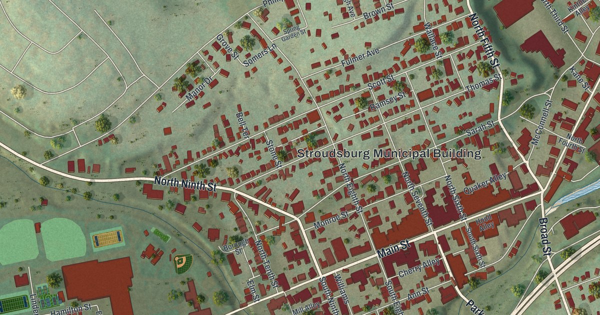
On this map you'll find Main Street, West Main Street, North Ninth Street, Park Avenue, Broad Street, Monroe Street, Sarah Street, Ann Street, Thomas Street, Dreher Avenue, Stroudsburg Municipal Building, Glen Park, Laurelwood Cemetery, Stroudsburg Cemetery, and more. Each red shape is a building, so zoom in on the preview and look for yours.
Jacob Stroud and the forts at Ninth and Main
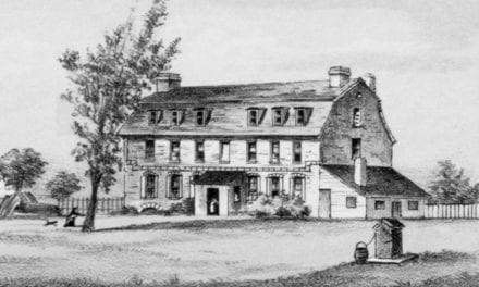
Stroudsburg began as a fort. Pennsylvania's historical markers tell the story. In January 1756, during the French and Indian War, Captain Levi Trump built Fort Hamilton here. It was built at the direction of Benjamin Franklin. It was one of a chain of frontier forts. Captain John Craig held it with 41 men. The fort stood near the corner of Main and Ninth, and it reached across Ninth Street. On the map, find where North Ninth Street meets Main Street. That's the spot.
Fort Penn took its place. It was the home of Jacob Stroud, a militia colonel and a Revolutionary patriot. He put a stockade around his house and named it for Governor John Penn. After the Battle of Wyoming in 1778, it served as a refuge from attacks. Stroud also served at the state constitutional convention of 1776. In 1799 he founded Stroudsburg, and he and his son Daniel laid out the town. It became a borough in 1815.
The Stroud Mansion still stands at Main and Ninth, where Stroud's home once was. It's on the National Register of Historic Places. A state marker for Jacob Stroud stands at the Stroudsburg Municipal Building, at Seventh and Sarah Streets. Look for that label near the middle of the map, a few blocks up from Main Street.
Keep Main Street in Stroudsburg close
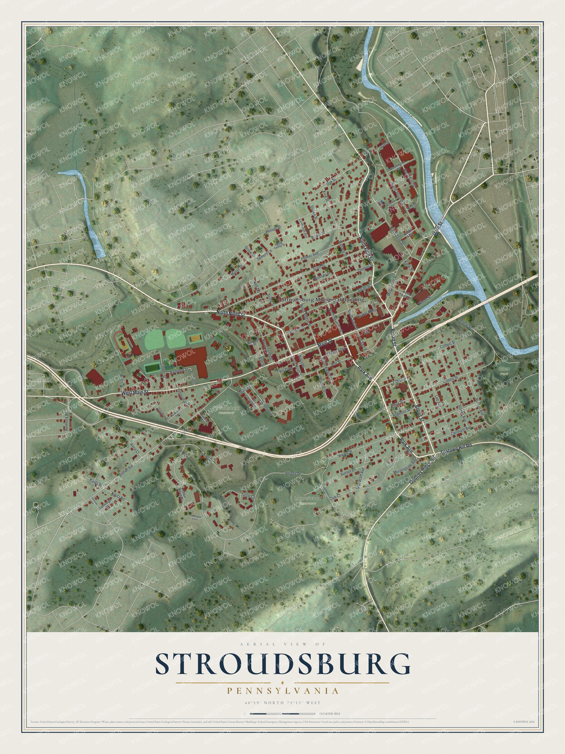
Created by KNOWOL in 2026, this print shows Stroudsburg from above, with soft green hills, a pale blue creek and red buildings packed along Main Street. The title panel at the bottom reads "Aerial View of Stroudsburg, Pennsylvania" with the coordinates 40°59' North 75°12' West.
It fits a living room, a front hall or a home office. It's a good gift for anyone who grew up near Glen Park or Main Street and has since moved away. Open the preview and find your street. See sizes and frames for the Stroudsburg map.