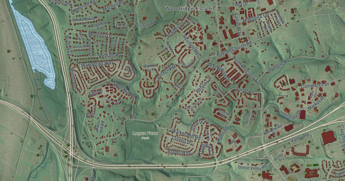
If you grew up off Linglestown Road or still drive North Front Street along the river, this map is for you. It's a modern aerial view of Susquehanna Township in Dauphin County, Pennsylvania, drawn from modern data and given a vintage feel. A wide blue river fills the left side, dotted with long green islands. A wooded ridge runs across the top. Below it, red buildings fill Mountain Dale, Lucknow, Windsor Farms, Susquehanna Manor, Glenwood, Progress and Paxtang Manor.
Rockville and its stone arch bridge
On this map you'll find Linglestown Road, North Front Street, North Cameron Street, North Progress Avenue, Union Deposit Road, Elmerton Avenue, Herr Street, Walnut Street, Fort Hunter Road, Logan Farm Park, Harrisburg State Hospital, Rockville, and more. Each red shape is a building, so zoom in on the preview and look for yours.
Find Rockville in the top left corner, right beside the river. The great railroad bridge just to the south takes its name from this small settlement. Rockville Bridge was built between 1900 and 1902. A state historical marker on North Front Street calls it the longest stone masonry arch railroad bridge in the world. It has 48 arches. It runs 3,820 feet from shore to shore. It's the third bridge the Pennsylvania Railroad built at this spot. The first was wooden, built from 1847 to 1849. An iron bridge came next, in 1877. Then came the stone arches that still carry trains today.
Harrisburg State Hospital on the hill
Harrisburg State Hospital is printed on the map too. It opened in 1851 as the first state mental hospital in Pennsylvania. It grew out of the work of Dorothea Lynde Dix. She pushed the state to give better care to people with mental illness. The hospital stands on wooded hills east of North Cameron Street, looking out over the city.
From Rockville to Paxtang Manor
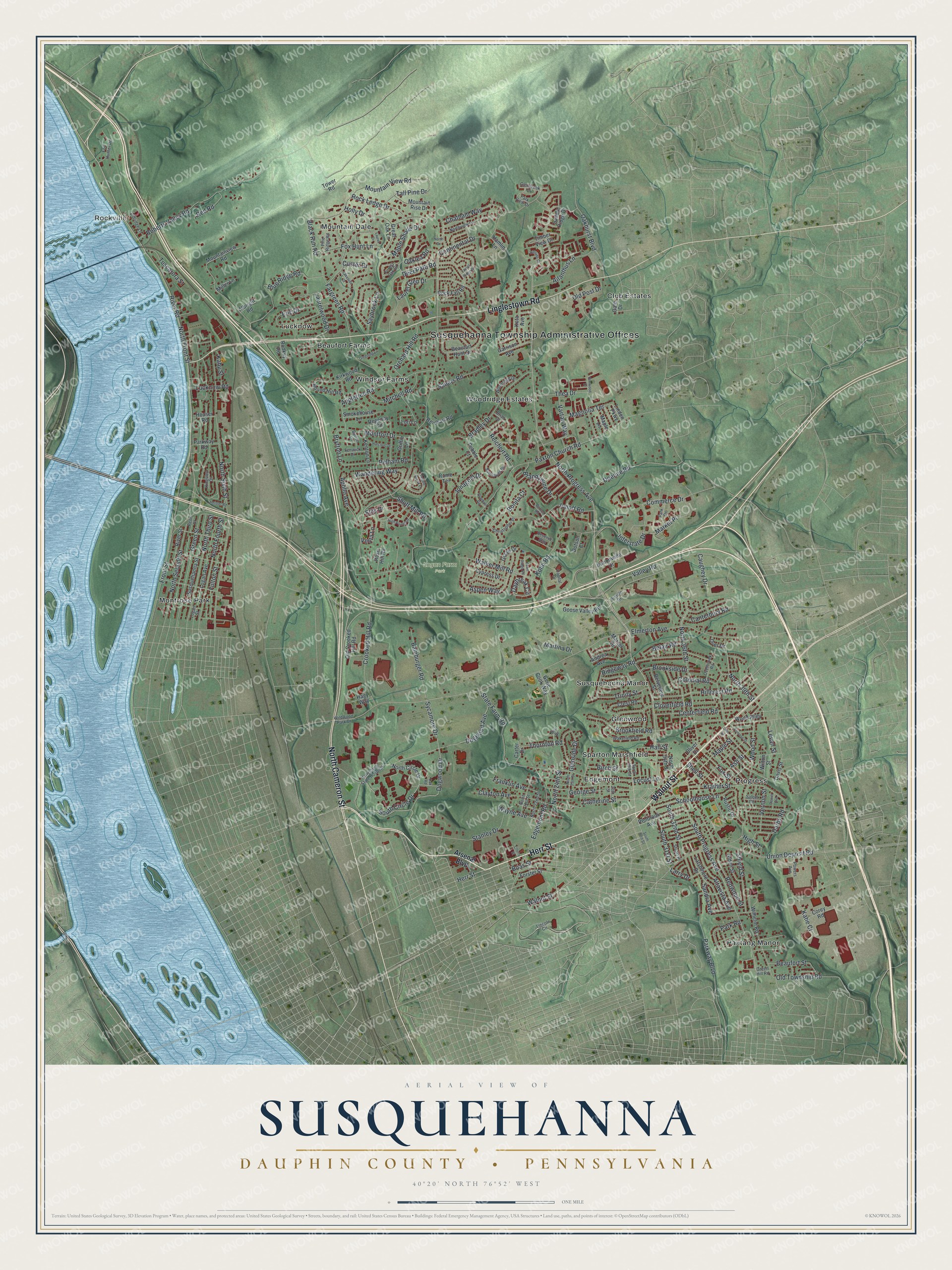
Created by KNOWOL in 2026, this print shows the township from above in soft greens and river blues, with shaded hills and red buildings. The title panel reads Aerial View of Susquehanna, Dauphin County, Pennsylvania, with the coordinates 40°20' North 76°52' West.
It fits a living room, a home office or the hallway by the front door. It's a good gift for someone who grew up near Logan Farm Park or along Linglestown Road and has since moved away. Open the preview and find your own street. See sizes and frames for the Susquehanna, Dauphin County map.