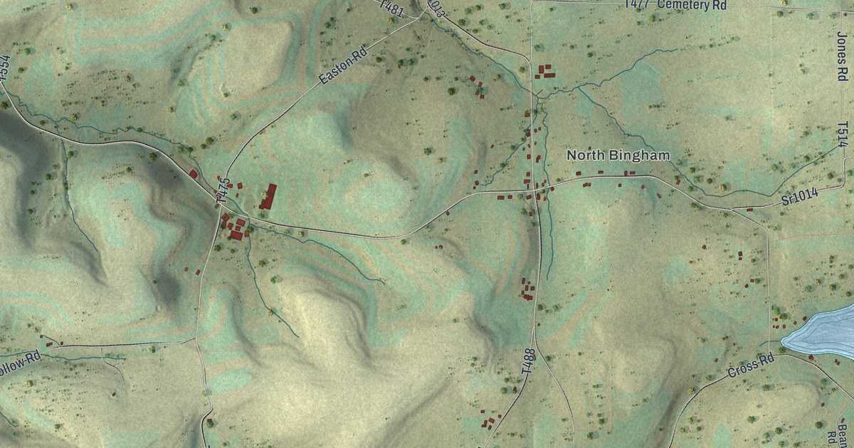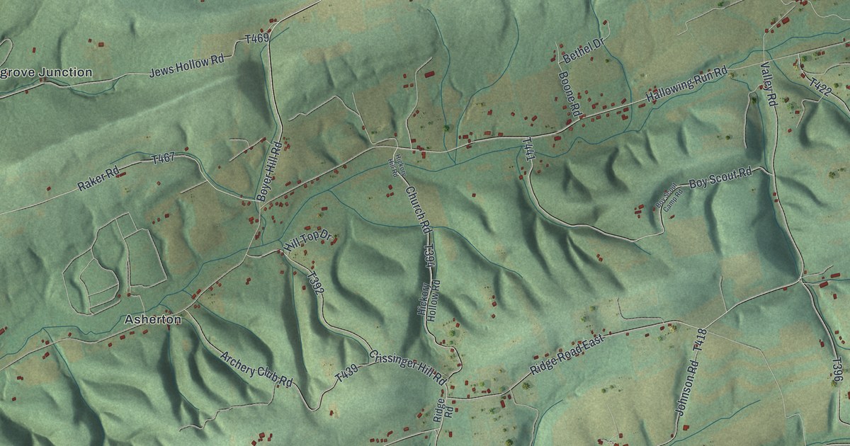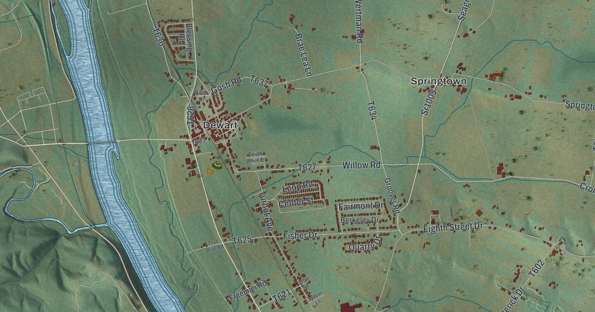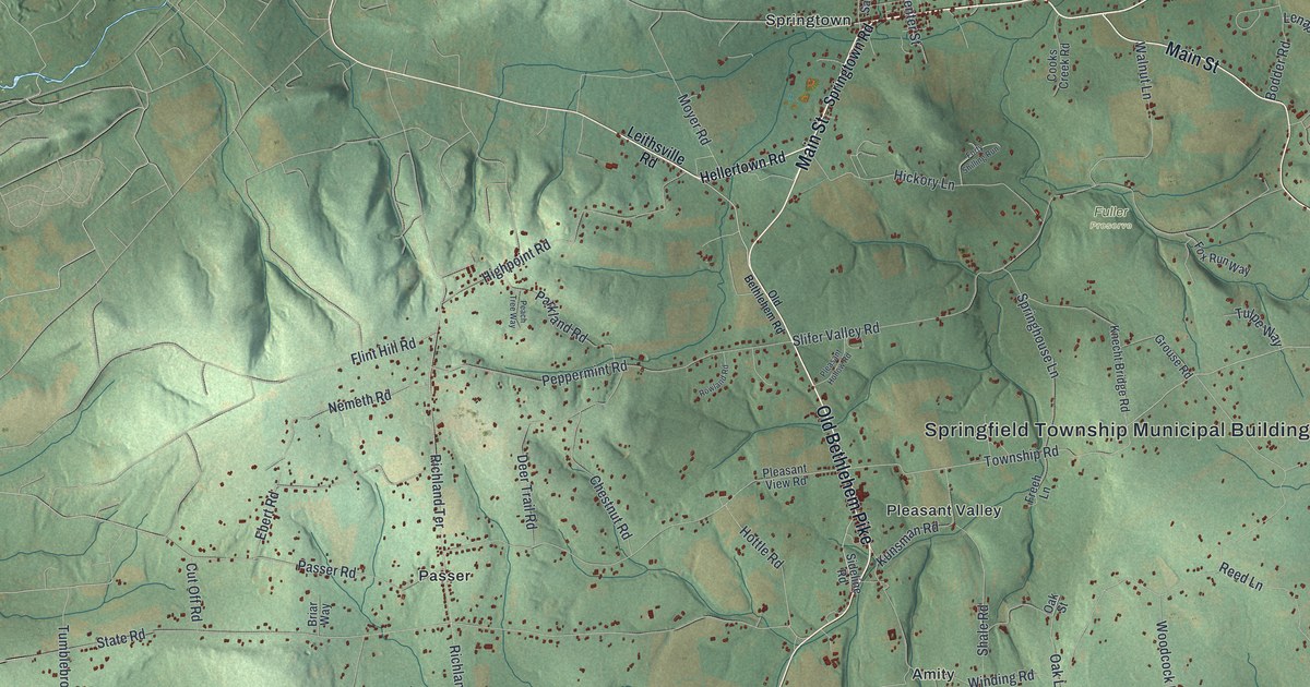
If you grew up in Springfield, this print gives you familiar village names to find. It's a modern aerial view of Springfield in Bucks County, Pennsylvania, made with modern data and a vintage feel. Green hills rise around small groups of homes. Springtown, Pleasant Valley and Bursonville each have their place on the sheet.
Springtown, Pleasant Valley and Springfield's Early Land
On this map you'll find Main Street, Durham Road, Bethlehem Pike, Old Bethlehem Road, Quakertown Road, Harrow Road, Haupts Bridge Road, Springtown, Pleasant Valley, Bursonville, Passer, Zionhill, and more. Each red shape is a building, so zoom in on the preview and look for yours.
These hills held homes long before the first land purchase the county historian found. The 1876 history of Bucks County records a 1737 survey for John Hughes. It covered the tract where Houpt's mill later stood. Settlers had already lived in Springfield for several years. The land was patented to William Bryan in 1758. Look at the hills around the printed village names of Springtown and Pleasant Valley. The map gives you a broad view of the township where that early land story took place.
Keep Springtown and Pleasant Valley Close
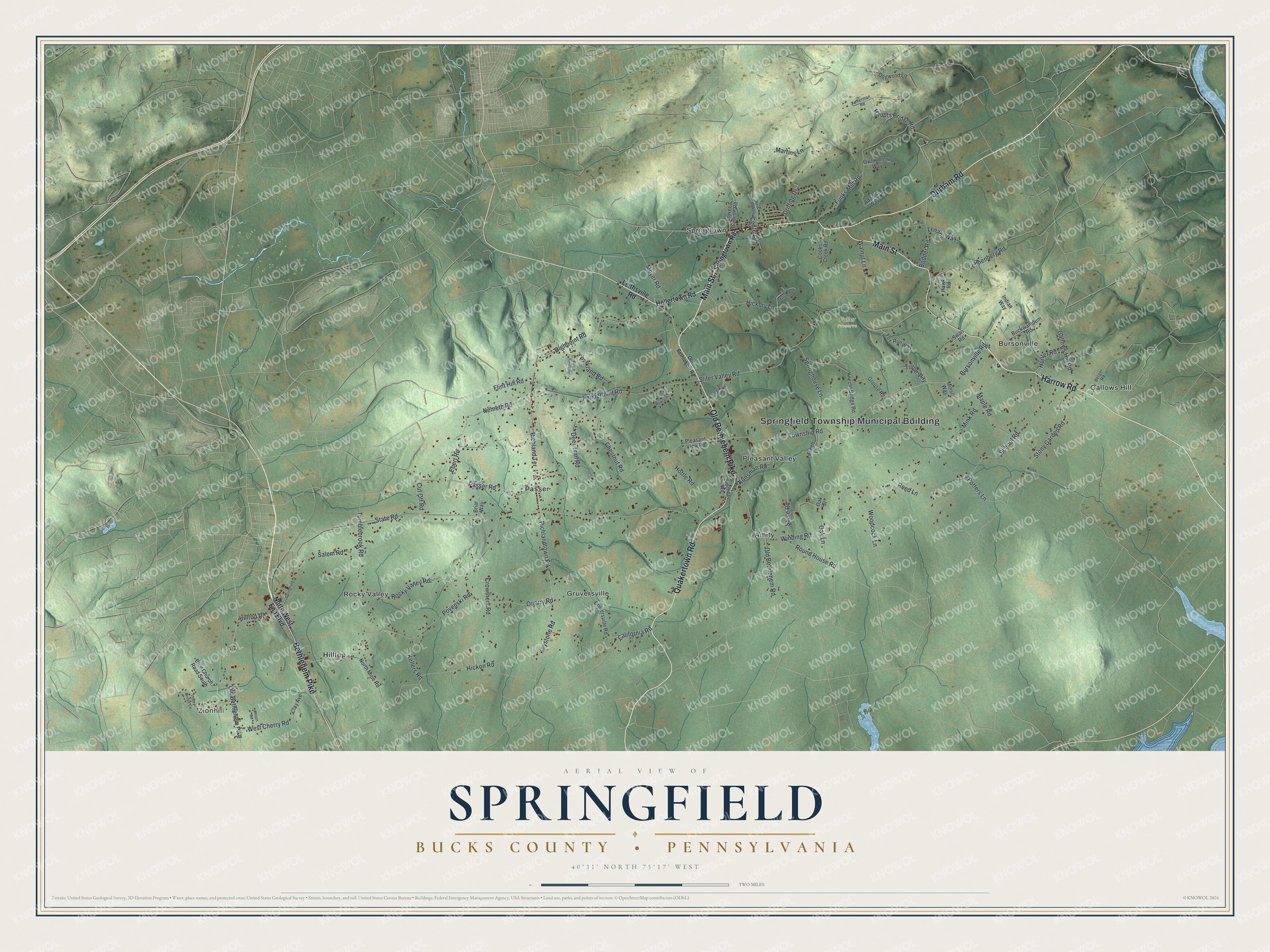
Created by KNOWOL in 2026, the print pairs shaded green hills with blue water, fine roads and small red buildings. A cream border surrounds the view. The title panel reads AERIAL VIEW OF SPRINGFIELD, BUCKS COUNTY • PENNSYLVANIA, with 40°31' NORTH 75°17' WEST below.
Hang it in a living room, home office or entryway. It's a thoughtful gift for someone with family in Springtown or a home in Pleasant Valley. Open the preview and look for the roads that bring you back. See sizes and frames for the Springfield, Bucks County map.