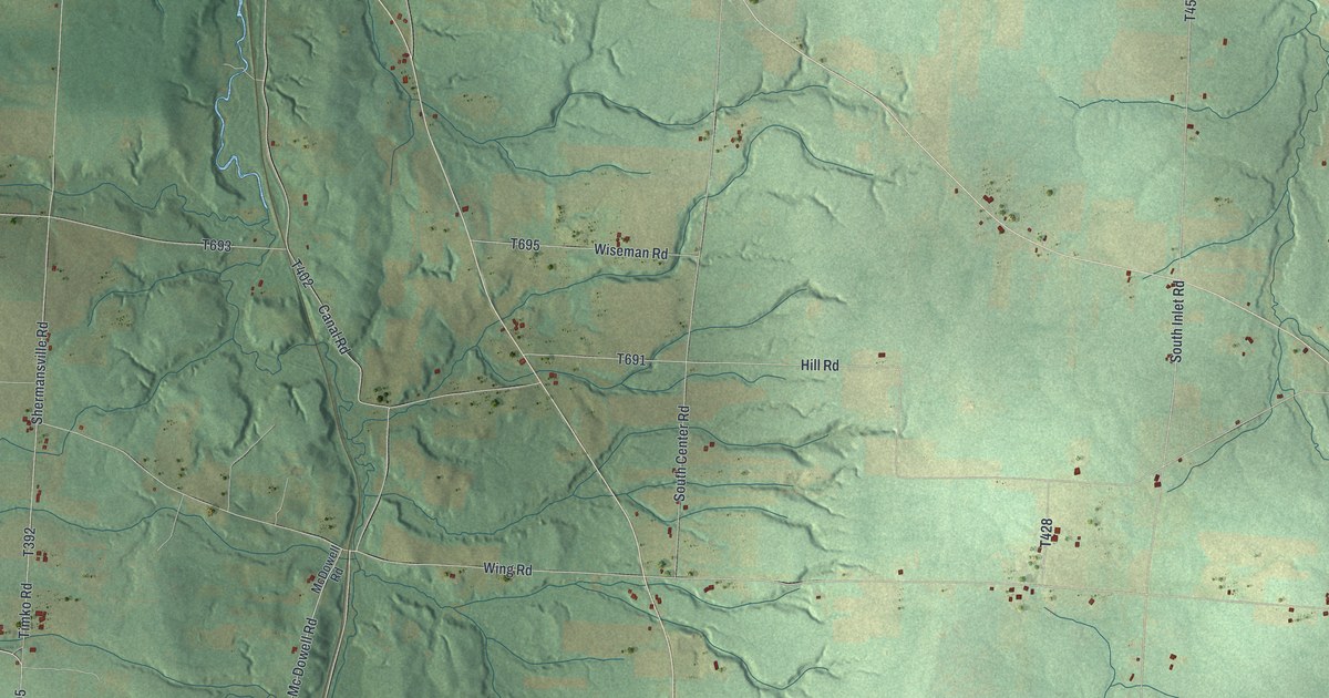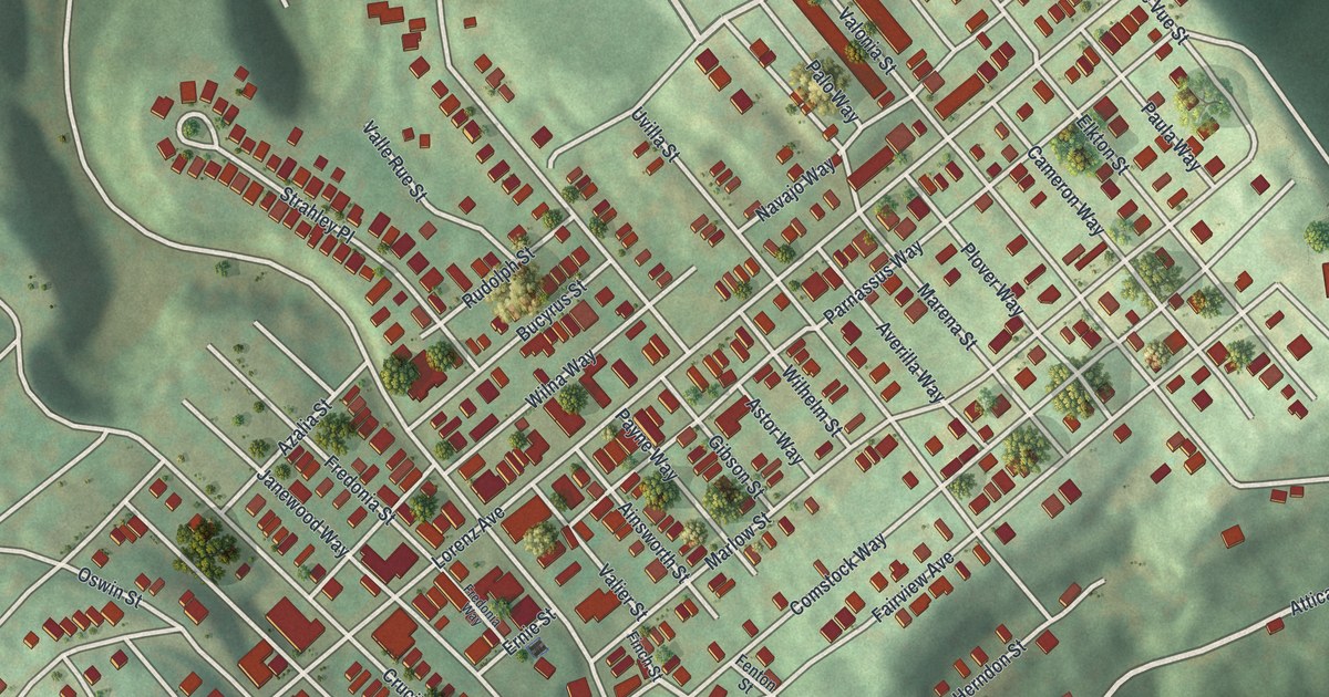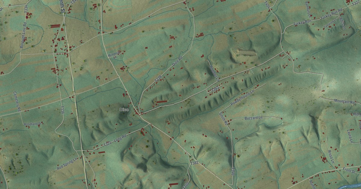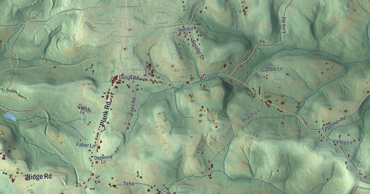
If you grew up in Hyde, Glen Richey or Plymptonville, or you still drive the Clearfield Shawville Highway home, this one's for you. It's a modern aerial view of Lawrence Township in Clearfield County, Pennsylvania, made from modern data and finished with a vintage feel. Green, shaded hills fill the sheet, from Moshannon State Forest at the top down to Oshanter at the bottom. A blue river winds through the middle. Red buildings gather where the villages are.
Glen Richey, Hyde and the roads of Lawrence Township
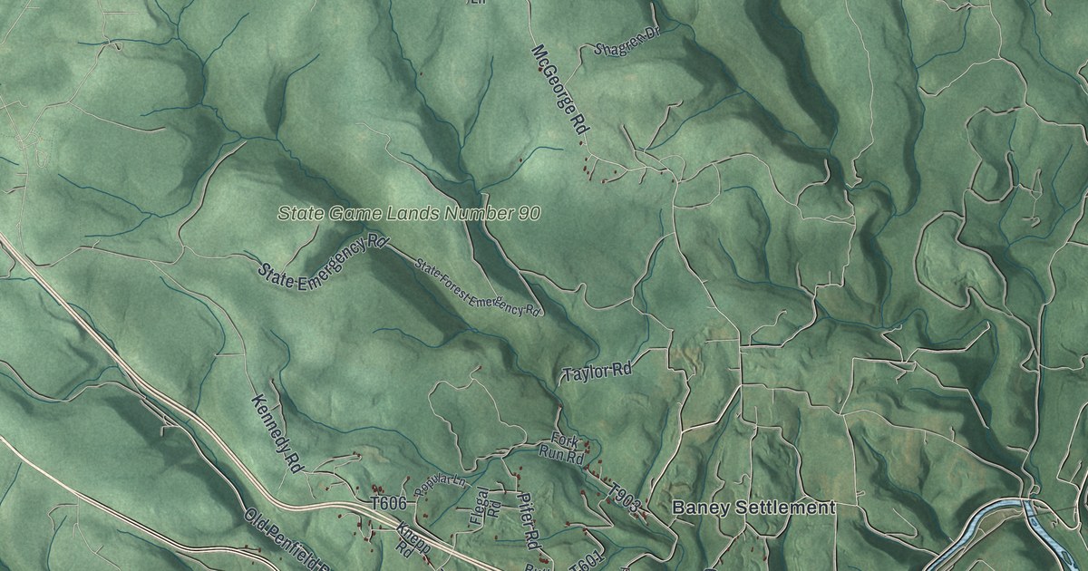
On this map you'll find Clearfield Shawville Highway, Clearfield Glen Richey Highway, Rockton Mountain Highway, Krebs Highway, South Second Street, Airport Road, Coal Hill Road, Hyde, Glen Richey, Plymptonville, Kerr Addition, Riverview, Mount Joy, Baney Settlement, Moshannon State Forest, and more. Each red shape is a building, so zoom in on the preview and look for yours.
Chinklacamoose, the town that came first
Long before Lawrence was a township, an Indian town stood here. A state historical marker at the south end of Clearfield, by South Second Street, calls it Chinklacamoose. The marker says C.F. Post visited in 1758 on his way to an Indian council. The old county history spells the name Chincleclamousche. The county history says the name had marked this locality since the French and Indian War. Later the town was found destroyed, and its people had gone west to the French forts. The name stayed with the place.
Daniel Ogden, the pioneer, settled here in 1797 and found what was left of the old town. Matthew Ogden later built the first grist mill in the county, on Moose Creek. Those details come from the old History of Clearfield County. The same book says Lawrence was once much bigger. It held the land of Goshen, Girard, Covington and Karthaus. Even after those were split off, it was still one of the largest townships in the county. The marker adds one more old story. The name Clearfield may come from clearings made by bison grazing along the creeks.
From Moshannon State Forest to Glen Richey
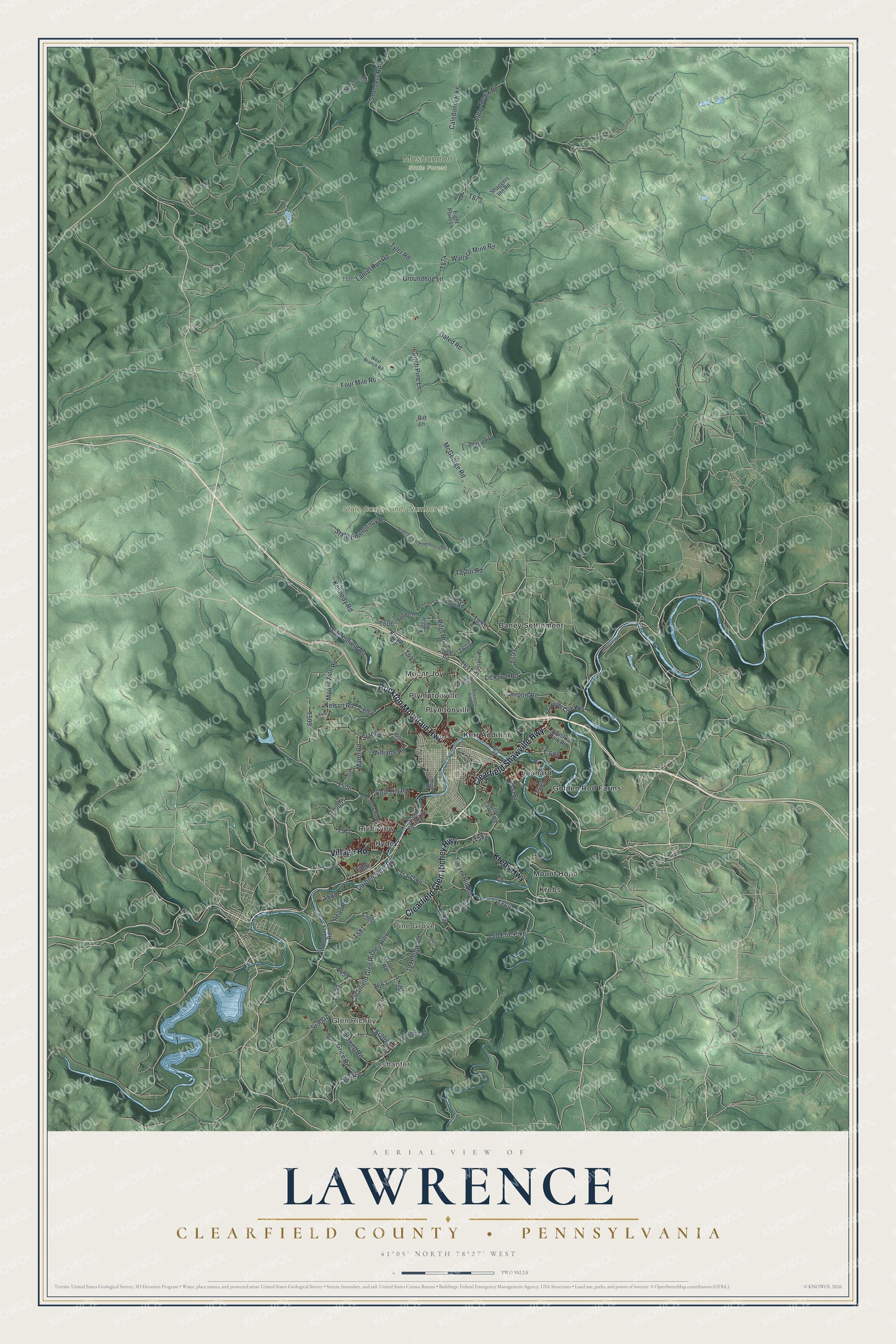
Created by KNOWOL in 2026, this print shows Lawrence Township in soft greens, with shaded hills, thin blue creeks, a winding river and red buildings in the villages. The title panel reads "Aerial View of Lawrence" with "Clearfield County • Pennsylvania" below it and 41°05' North 78°27' West at the bottom.
It fits a living room, a home office or a den. It's a good gift for someone who grew up near Glen Richey, or who knows the woods of State Game Lands Number 90. Open the preview and find your road. See sizes and frames for the Lawrence, Clearfield County map.