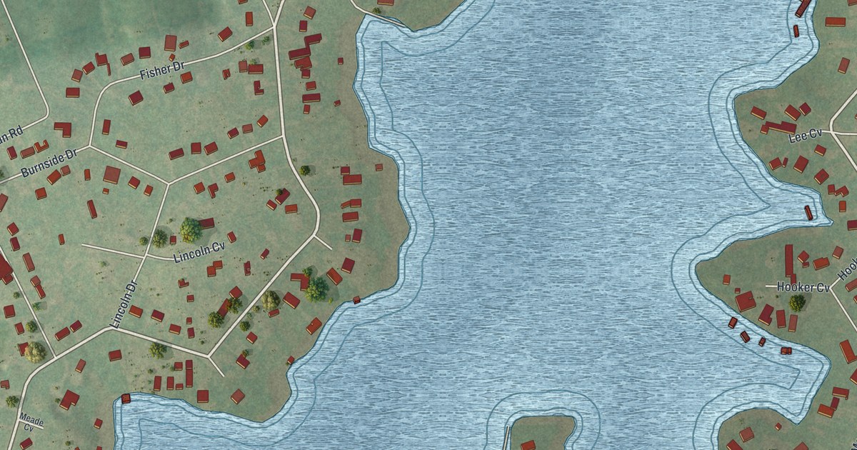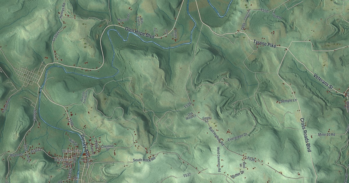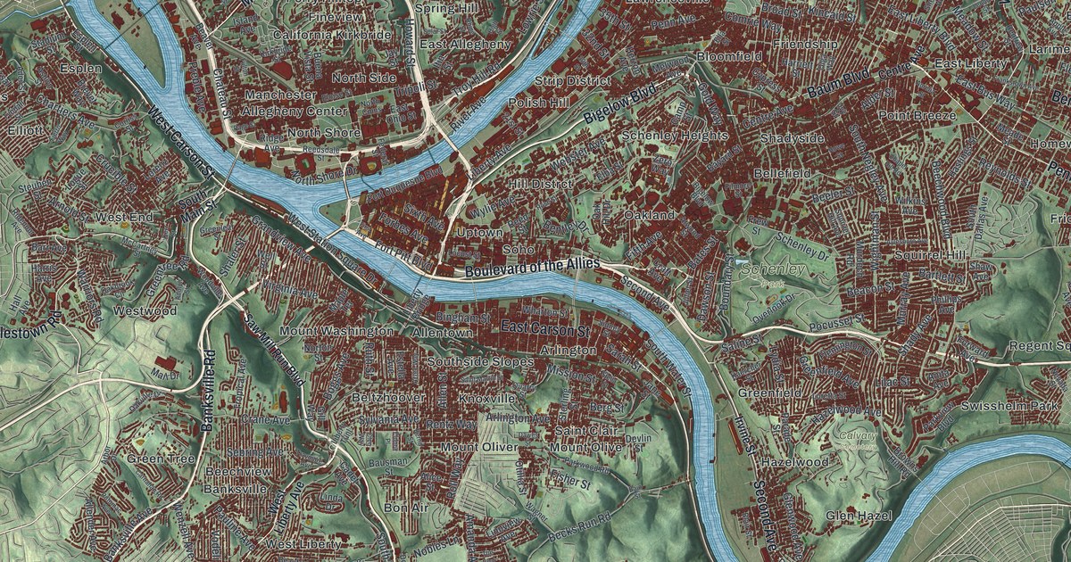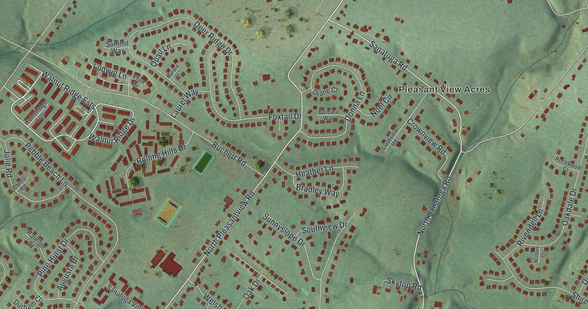
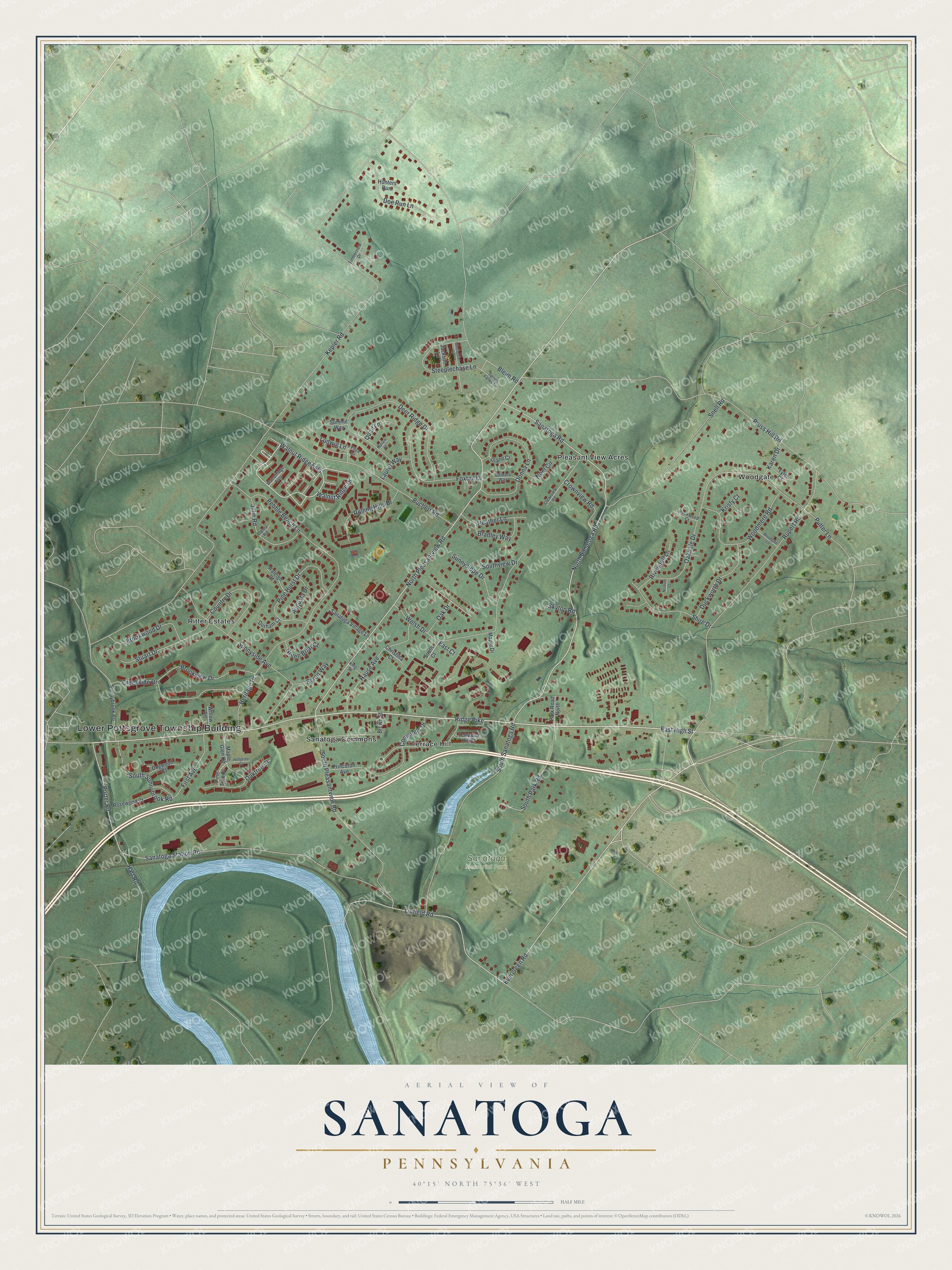
This beautifully detailed map of Sanatoga, Pennsylvania was created in 2026 using aerial imagery combined with modern topographical, census, street and landmark data. It's a modern aerial view of Sanatoga in Montgomery County, Pennsylvania, that combines modern data with a vintage aesthetic. The roads feature printed names, and if you look closely you can find your exact house accurately shown in its correct location.
Explore an aerial view of Sanatoga, Pennsylvania
On this map you'll find Lower Pottsgrove Township Building, Sanatoga Memorial Park, Woodgate, Ritter Estates, Pleasant View Acres, Terrace Hill, Sanatoga Commons, East High Street, Ridge Pike, North Pleasantview Road, Evergreen Road, Linfield Road, and more. Each red shape is a building, so zoom in on the preview and look for yours.
Sanatoga is a community in Montgomery County. The Census Bureau counted 8,496 people here in 2020. Sanatoga sits about 3 miles east of Pottstown, 3 miles northeast of Kenilworth and 3 miles southeast of Halfway House. The map prints the town name in its title panel, with the coordinates below it.
Take a closer look at the Sanatoga map
Names on this map
These names are printed on this map.
Places: Lower Pottsgrove Township Building, Sanatoga Memorial Park, Woodgate, Ritter Estates, Pleasant View Acres, Terrace Hill and Sanatoga Commons.
Streets and roads: East High Street, Ridge Pike, North Pleasantview Road, Evergreen Road, Linfield Road, Walnut Ridge Ests, Walnut Ridge Drive, Porter Road, Sanatoga Road, North Sanatoga Road, Kepler Road, Pruss Hill Road.
More street names, A to Z
Augusta Drive, Barbara Way, Bleim Road, Bradley Way, Brookview Drive, Brookwood Drive, Brown Street, Buchert Road, Byron Way, Christina Court, Clearview Road, Commons Drive, Country Drive, Creekside Drive, Crownview Road, Danny Road, Deer Ridge Drive, Diane Court, Doe Run Lane, Dogwood Court, Donna Lane, Duckworth Drive, Durham Court, East Court, Ellen Circle, First Avenue, Foxtail Drive, Green Briar Court, Hart Road, Hause Avenue, Heather Lane, Heritage Drive, Hollytree Court, Hunters Run, Jackson Lane, Julie Road, Karen Drive, King Street, Kristy Court, Laurel Way, Ludwig Lane, Mallard Court, Maple Drive, Maple Glen Circle, Noel Circle, Norbury Court, Oakdale Drive, Oak Drive, Oaktree Court, Park Road North, Pebble Beach Lane, Pine Hurst Drive, Pine Tree Court, Princeton Avenue, Putter Lane, Quail Lane, Raleigh Court, Rivendell Lane, Rockwood Court, Rolling Hills Drive, Rosewood Court, Rupert Road, Sanatoga Station Road, Sanatoga Village Lane, Shire Drive, Skytop Road, Snell Road, South Court, South Park Road, South Pleasantview Road, South Sanatoga Road, South Sunnybrook Road, Southview Drive, Spring Valley Lane, Steeplechase Lane, Stuart Drive, Summit Way, Sunnybrook Road, Sunnyside Avenue, Sunnyslope Drive, Terraced Hill Court, Timberview Drive, Tyler Court, Walnutridge Ests, Welsh Drive, Willow Road, Winchester Drive, Woodgate Lane, Woodmere Road.
See it on a wall
The Sanatoga map as a framed print. Swipe for more.


Created by KNOWOL in 2026. The buildings are small red shapes, the roads carry their printed names, and shaded relief shows the shape of the land. The title panel reads "AERIAL VIEW OF SANATOGA, PENNSYLVANIA" with 40°15' NORTH 75°36' WEST.
It looks right in a kitchen, an office or a den, and it's a gift for anyone who grew up in Sanatoga or moved away. Open the preview and find your street. See sizes and frames for the Sanatoga map.