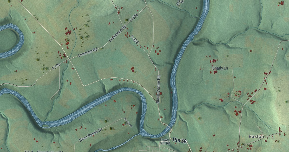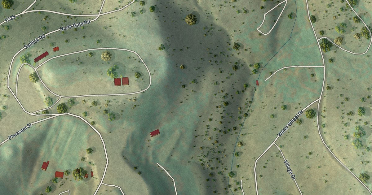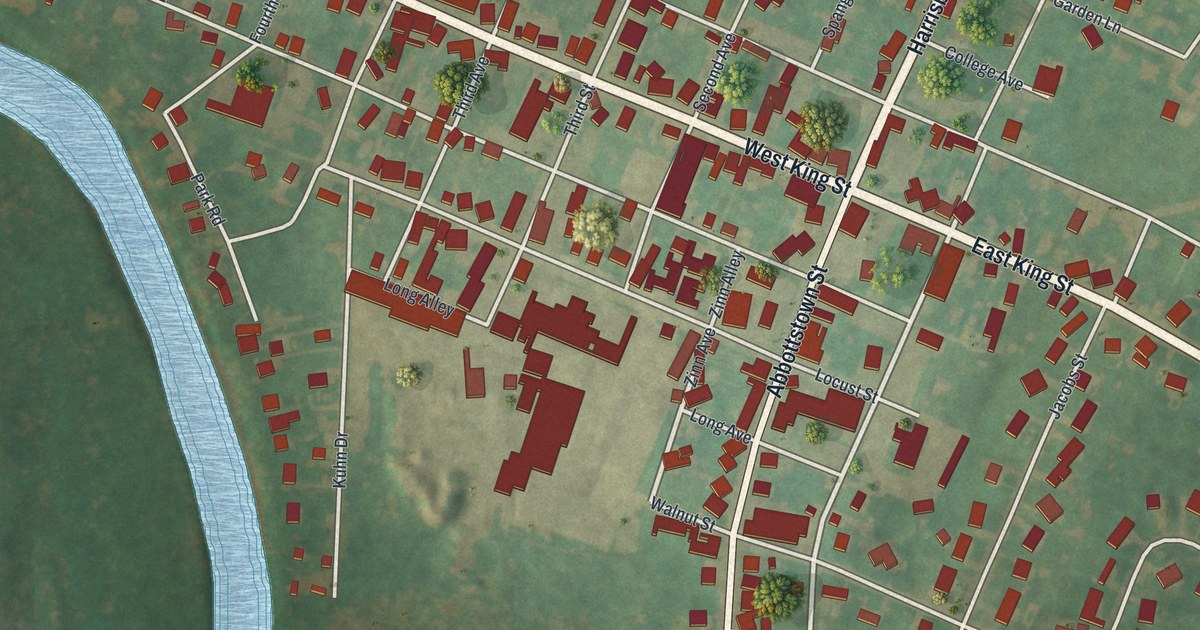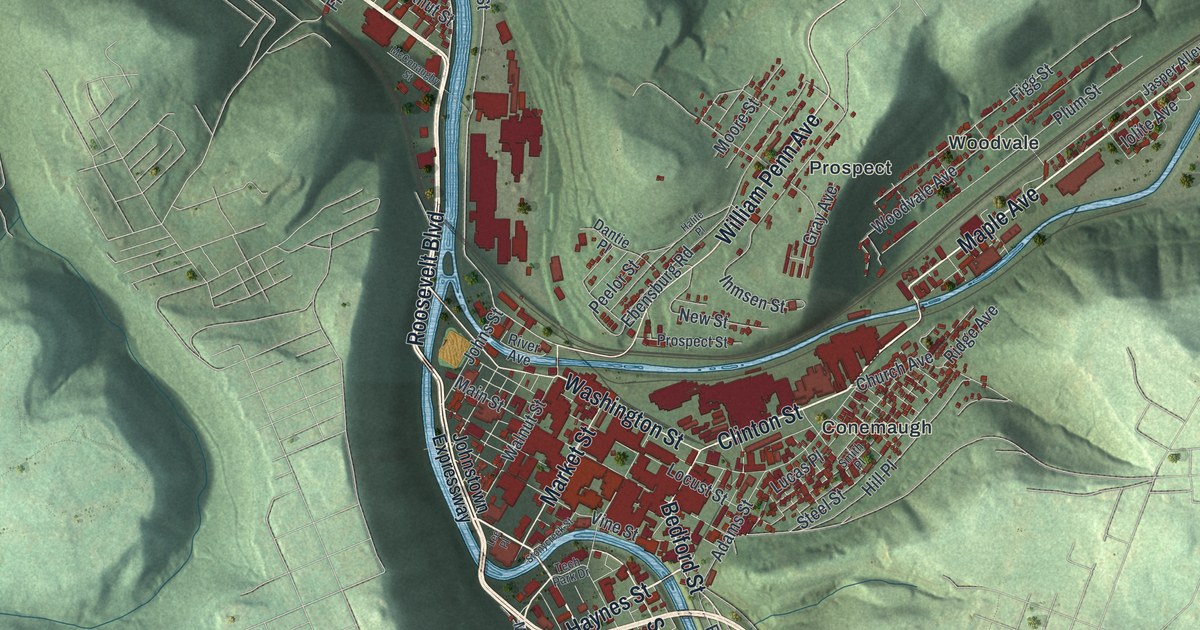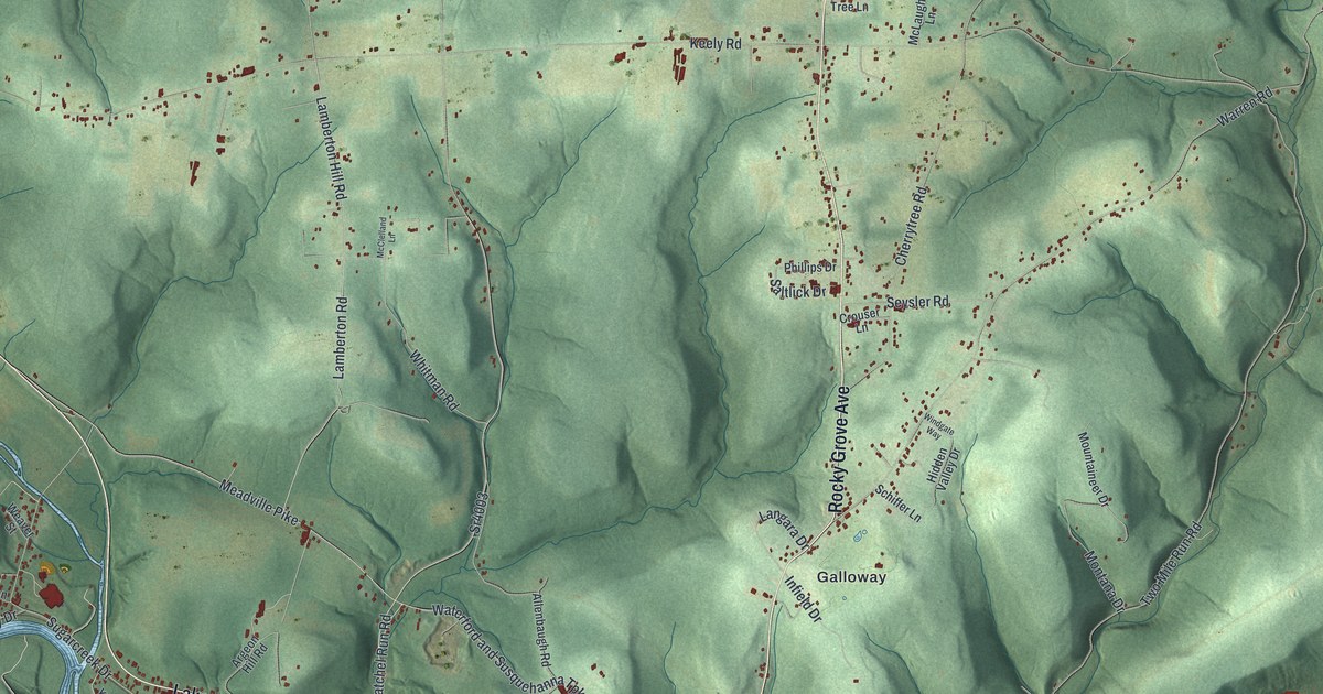
This beautifully detailed map of Sugarcreek, Venango County, Pennsylvania was created in 2026 using aerial imagery combined with modern topographical, census, street and landmark data. It’s a one-of-a-kind view of Sugarcreek that combines accurate data with a vintage aesthetic. The map shows every building in its true location, many of the roads carry their names, and the shaded topographic relief shows the shape of the land.
Explore an aerial view of Sugarcreek, Venango County, Pennsylvania
On the map you’ll find Takitezy, Reno, Bleakley Hill, Foster Corner, Galloway, Point Hill, Rocky Grove, and Wyattville, along with Rocky Grove Avenue, Twenty-Eighth Division Highway, Lakes To the Sea Highway, Halyday Run Road, and more. If you look closely you can even find your house accurately drawn in its correct location. Zoom in on the preview to look for yours.
Did you know this piece of Sugarcreek, Venango County, Pennsylvania history?
Sugarcreek began as Sugar Creek Township, one of three Venango County townships created on October 6, 1800. Angus McKinzie, born in Inverness, Scotland, in 1736, farmed a stretch of level land called the prairie and lived to 110. Early settler John Whitman was a boatman who helped carry naval stores up French Creek to equip Perry’s fleet. That’s from the 1890 History of Venango County, Pennsylvania.
Take a closer look at the Sugarcreek, Venango County map
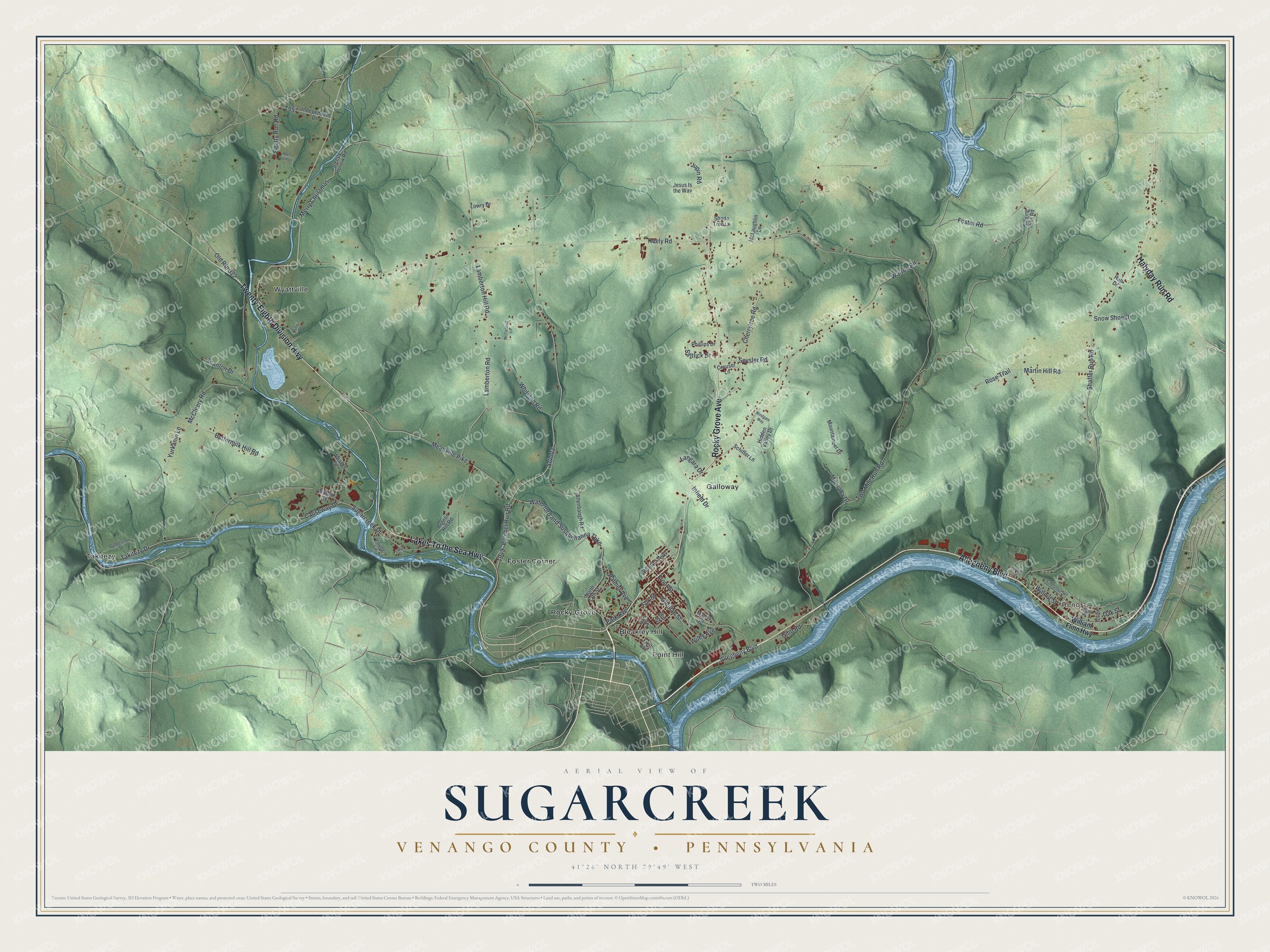
Street and place names on the Sugarcreek, Venango County, Pennsylvania map
These names are printed on the map of Sugarcreek, Venango County, Pennsylvania.
Places: Takitezy, Reno, Bleakley Hill, Foster Corner, Galloway, Point Hill, Rocky Grove and Wyattville.
Streets and roads: Rocky Grove Avenue, Twenty-Eighth Division Highway, Lakes To the Sea Highway, Halyday Run Road, Allegheny Boulevard, Warren Road, Patchel Run Road, Sr4003, Foster Road, Keely Road, Meadville Pike, Waterford and Susquehanna Turnpike.
More street names, A to Z
Abel Heath Lane, Allenbaugh Road, Argeon Hill Road, Beatty Run Road, Brook Street, Buttermilk Hill Road, Canal Drive, Causeway Drive, Cherrytree Road, Chestnut Street, Crouser Lane, Culbertson Drive, Eighth Street, Elm Street, First Avenue, Fox Street, Front Street, Gibb Road, Gilfillan Street, Hall Drive, Hidden Valley Drive, Independent Drive, Infield Drive, Jesus Is the Way, Jupin Road, Lamberton Hill Road, Lamberton Road, Langara Drive, Lowry Drive, Manor Drive, Martin Hill Road, McCleery Road, McClelland Lane, McLaughlin Lane, Merry Christmas, Montana Drive, Mountaineer Drive, Ninth Street, North 13th Street, Oak Street, Old Route 322, Palmer Avenue, Park Avenue, Park Street, Phillips Drive, Pine Drive, Rose Trail, Saltlick Drive, Scanlon Drive, Schiffer Lane, Seysler Road, Shade Tree Lane, Shaffer Run Road, Singing Hills Road, Sleepy Hollow Road, Snow Shoe Drive, Sugarcreek Drive, Takitezy Drive, Two Mile Run Road, Walnut Street, Weaver Street, Whitman Road, Wiley Avenue, William Flinn Highway, Wilson Avenue, Wilson Street, Windgate Way, Young Lane, Yurkanin Lane.
See the Sugarcreek, Venango County, Pennsylvania map on a wall
The Sugarcreek, Venango County map as an 18 x 24 inch print in a black frame.

This beautifully detailed map of Sugarcreek, Venango County makes an attractive addition to your office, library, or den, and it can even be used to teach children the geography and history of the area. It also makes a great gift for anyone who grew up in Sugarcreek or moved away. When you’re done exploring, click here to get your copy of the Sugarcreek, Venango County map.