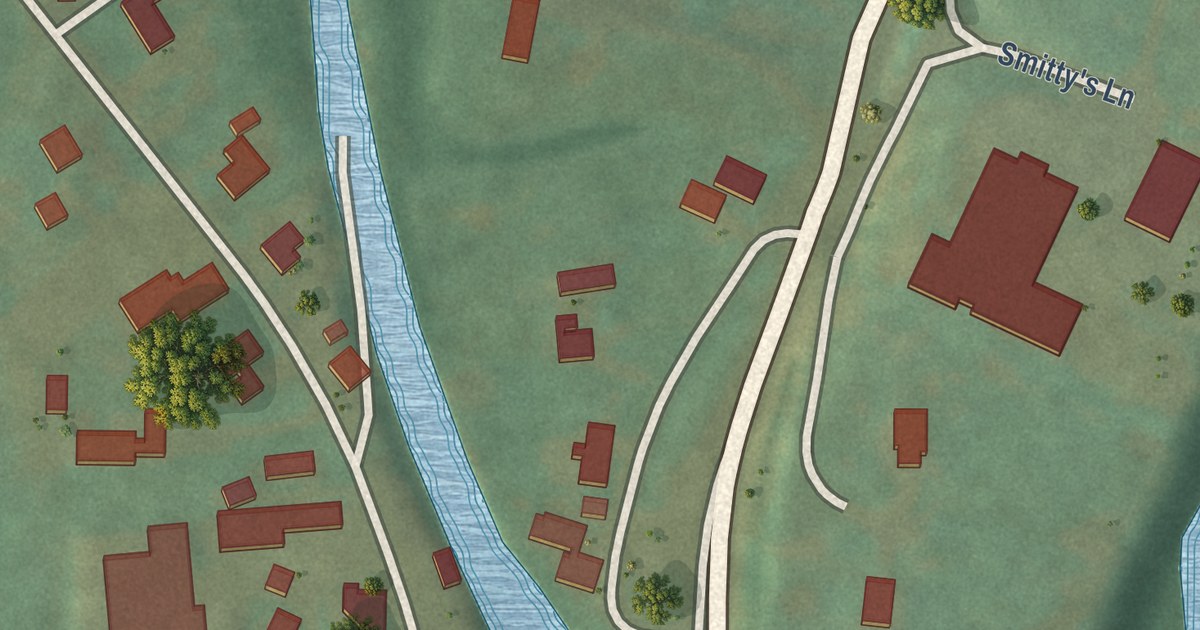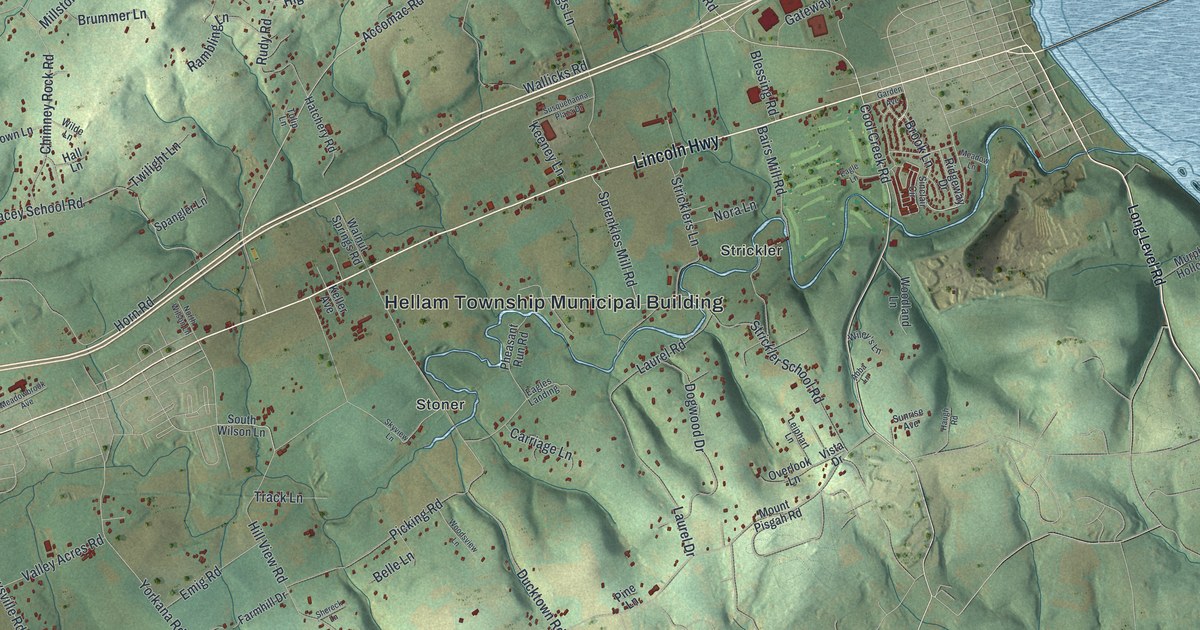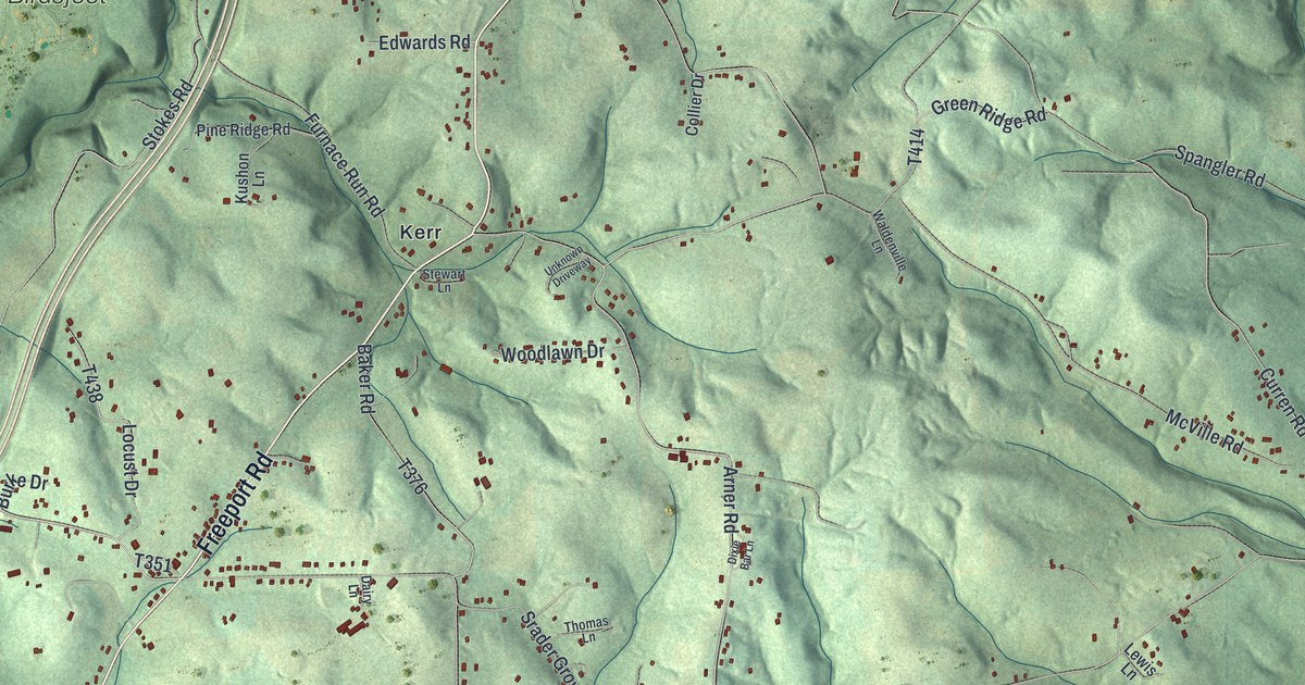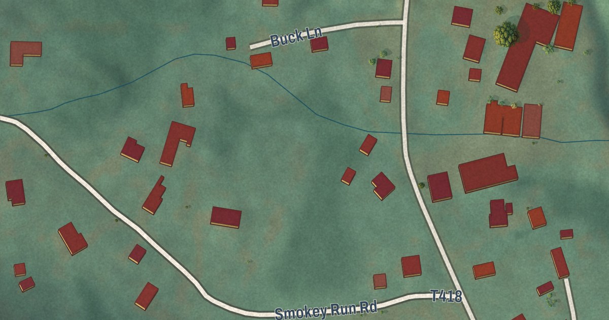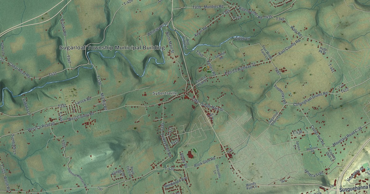
This beautifully detailed map of Sugarloaf, Luzerne County, Pennsylvania was created in 2026 using aerial imagery combined with modern topographical, census, street and landmark data. It’s a one-of-a-kind view of Sugarloaf that combines accurate data with a vintage aesthetic. The map shows every building in its true location, many of the roads carry their names, and the shaded topographic relief shows the shape of the land.
Explore an aerial view of Sugarloaf, Luzerne County, Pennsylvania
On the map you’ll find Sugarloaf Township Municipal Building, Dippel Manor, Council Crest, Tomhicken, Sybertsville, and T-431, along with Berwick Hazleton Highway, Susquehanna Boulevard, Conyngham Drums Road, Center Hill Road, and more. If you look closely you can even find your house accurately drawn in its correct location. Zoom in on the preview to look for yours.
Did you know this piece of Sugarloaf, Luzerne County, Pennsylvania history?
From the Pennsylvania Historical and Museum Commission: "After an unsuccessful attack on Fort Augusta, Indians and Tories surprised a detachment of Northumberland Co. militia on Sept. 11, 1780. The site of the massacre is just beyond the town."
Take a closer look at the Sugarloaf, Luzerne County map
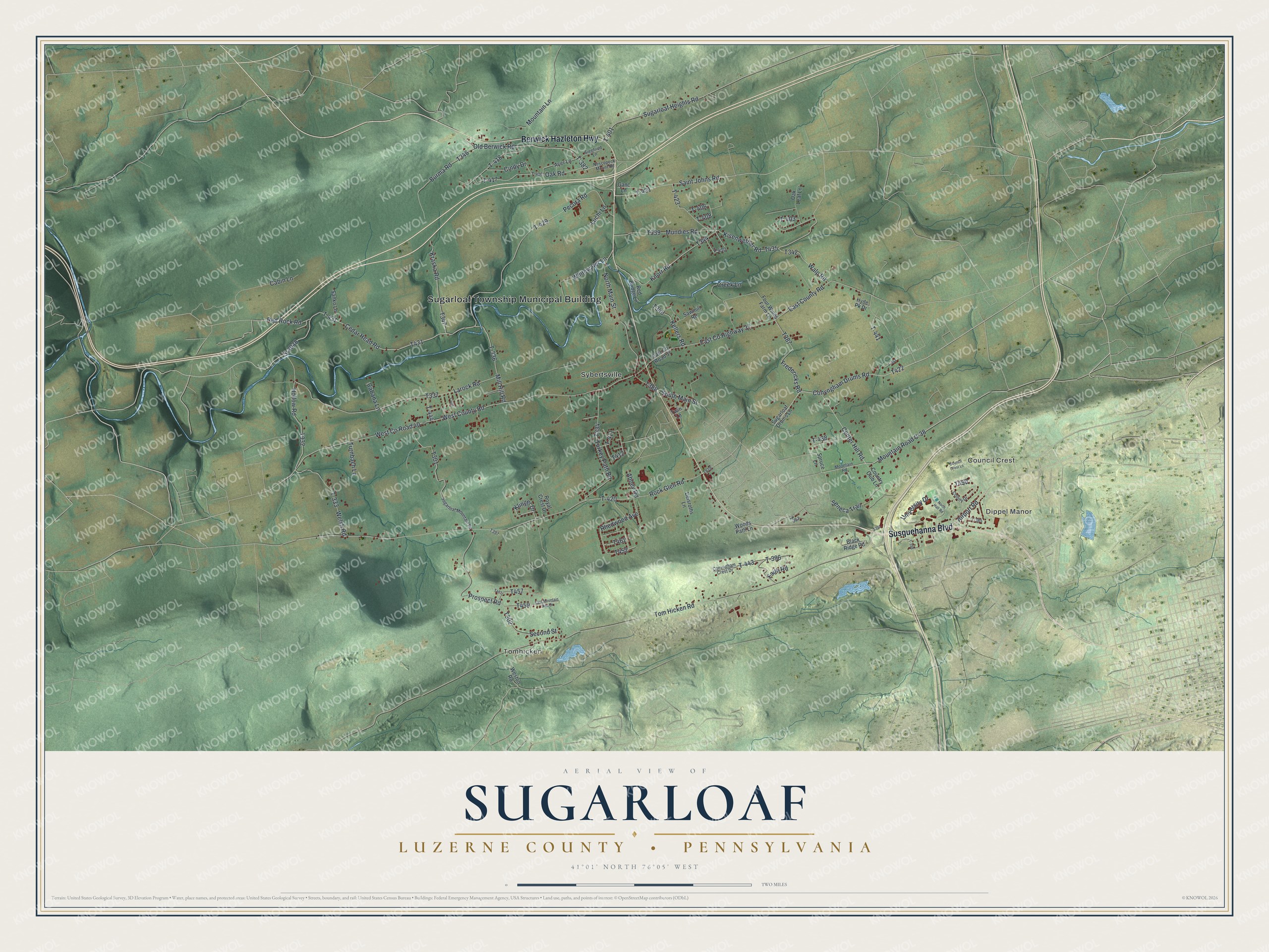
Street and place names on the Sugarloaf, Luzerne County, Pennsylvania map
These names are printed on the map of Sugarloaf, Luzerne County, Pennsylvania.
Places: Sugarloaf Township Municipal Building, Dippel Manor, Council Crest, Tomhicken and Sybertsville.
Streets and roads: Berwick Hazleton Highway, Susquehanna Boulevard, Conyngham Drums Road, T-431, Center Hill Road, Mill Hill Road, T-336, Saint Johns Road, Cedar Head Road, Mountain Road C-38, West County Road 40, Fredericks Road.
More street names, A to Z
Abbey Road, Acer Lane, Airport Road, Black Ridge Road, Burma Road, Cabana Lane, Cabin Lane, Cindy Drive, Colony Drive, Conyngham Crest Drive, Council Crest Lane, Country Club Lane, Creek Lane, Deisroths Lane, East County Highway 37, East County Road, East County Road 37, East Mountain Side Drive, Faith Road, Four Winds Farm Lane, Ganc Lane, Hollow Road, Hyde Pk Drive, Kellers Road, Kisenwether Road, Klinger Drive, Knorr Road, Kraska Road, Larock Road, Luchi Lane, Mountain Lane, Mountain Road, Mundies Road, Nescopeck Mount Road, North Hall Road, North Main Street, Oak Leaf Lane, Oak Road, Old Berwick Road, Pecora Road, Prospect Road, Red Bridge Lane, Red Rock Road, Rhedwood Avenue, Rock Glen Road, Royal Crest Drive, Sanko Lane, Sawmill Road, Second Street, Seneca Trail, Siegfried Lane, South Main Street, Spruce Lane, Sr3038, Sugarloaf Drums Lane, Sugarloaf Heights Road, Sugarloaf Mountain Road, T-333, T-347, T-382, T-383, T-385, T-396, T-398, T-401, T-403, T-405, T-406, T-408, T-410, T-411, T-416, T-417, T-418, T-420, T-421, T-423, T-429, T-438, T-441, T-443, T-444, Tom Hicken Road, Turkey Path Road, Turnbach Lane, Twin Lane, University Drive, Walp Road, Welsh Road, West County Road, Weston Road, Whitewater Lane, Woods Path Lane.
See the Sugarloaf, Luzerne County, Pennsylvania map on a wall
The Sugarloaf, Luzerne County map as an 18 x 24 inch print in a black frame.

This beautifully detailed map of Sugarloaf, Luzerne County makes an attractive addition to your office, library, or den, and it can even be used to teach children the geography and history of the area. It also makes a great gift for anyone with Sugarloaf roots. When you’re done exploring, click here to get your copy of the Sugarloaf, Luzerne County map.