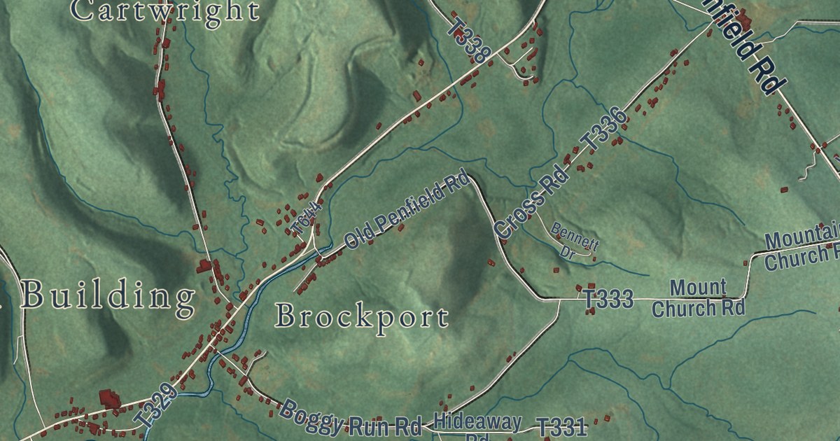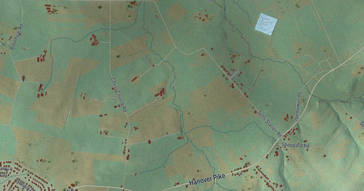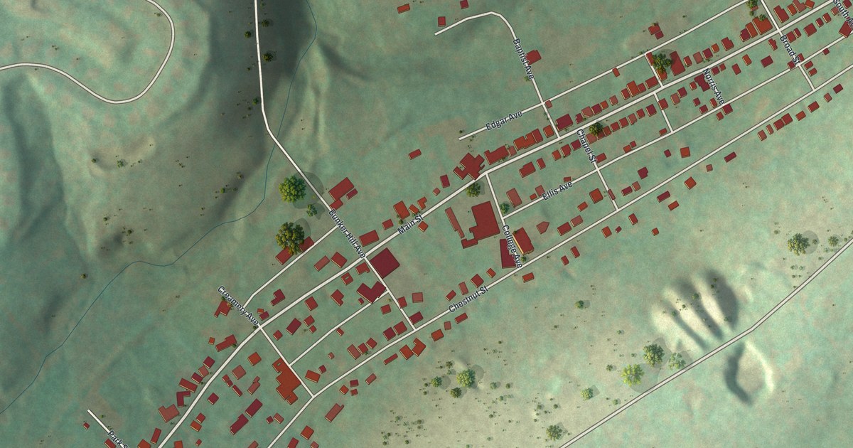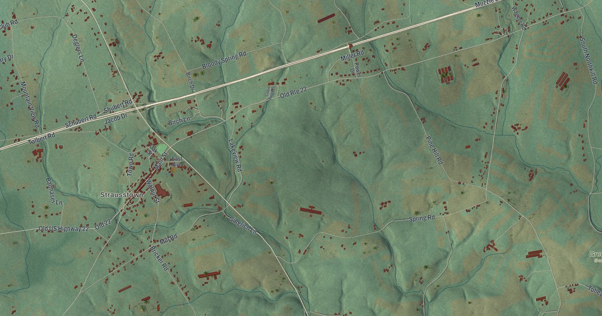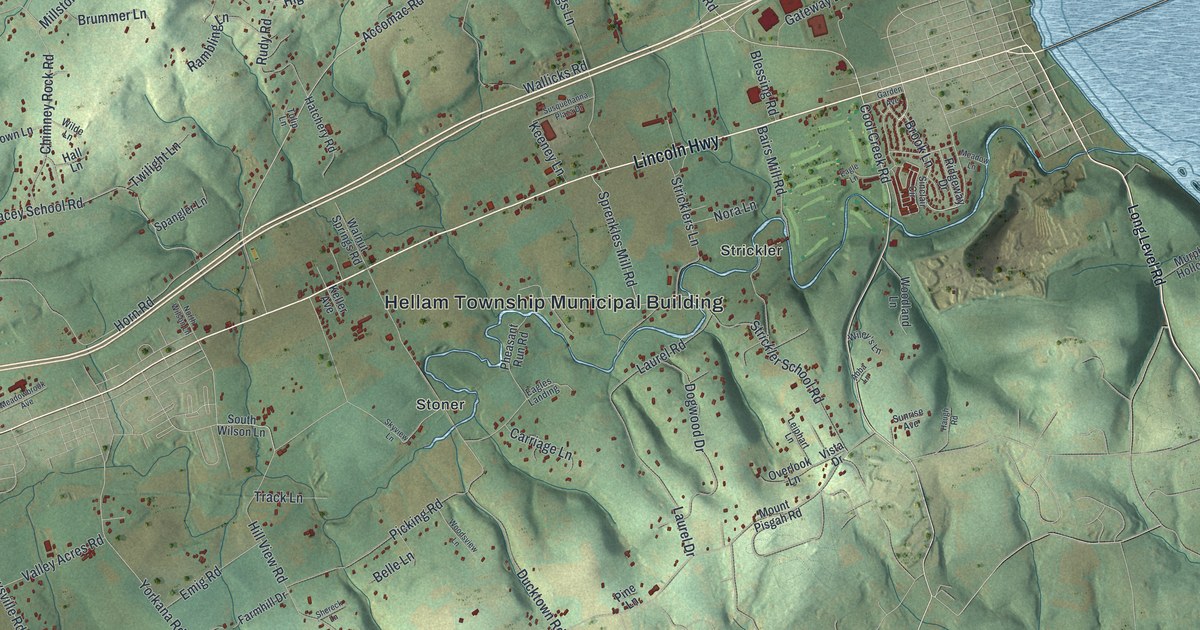
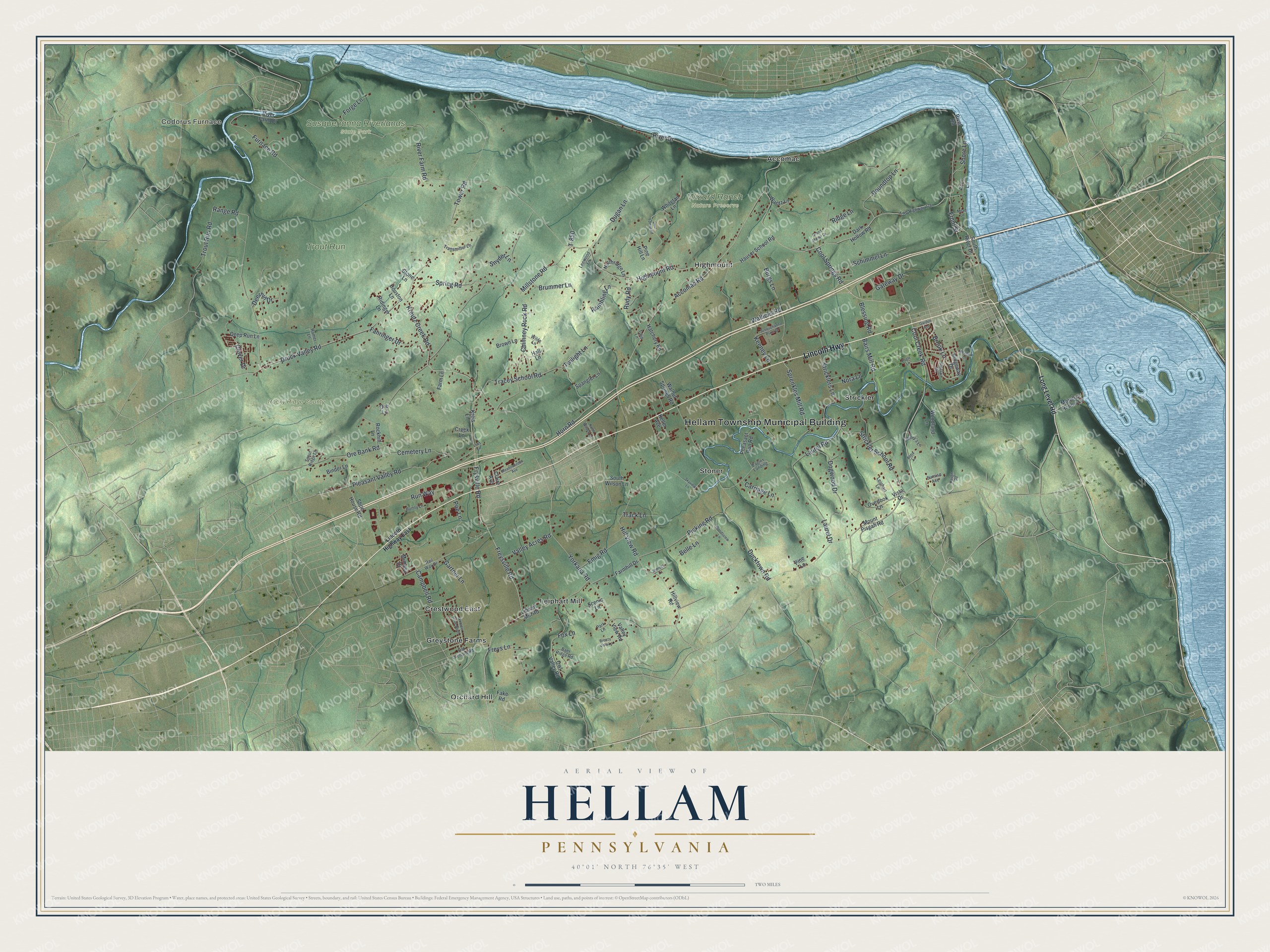
This beautifully detailed map of Hellam, Pennsylvania was created in 2026 using aerial imagery combined with modern topographical, census, street and landmark data. It’s a one-of-a-kind view of Hellam that combines accurate data with a vintage aesthetic. The map shows every building in its true location, many of the roads carry their names, and the shaded topographic relief shows the shape of the land.
Explore an aerial view of Hellam, Pennsylvania
On the map you’ll find Hellam Township Municipal Building, Codorus Furnace, Rocky Ridge County Park, Susquehanna Riverlands State Park, Trout Run, Wizard Ranch Nature Preserve, Accomac, Crestwood East, Greystone Farms, Highmount, Leiphart Mill, Orchard Hill, and more. If you look closely you can even find your house accurately drawn in its correct location. Zoom in on the preview to look for yours.
Take a closer look at the Hellam map
Street and place names on the Hellam, Pennsylvania map
These names are printed on the map of Hellam, Pennsylvania.
Places: Hellam Township Municipal Building, Codorus Furnace, Rocky Ridge County Park, Susquehanna Riverlands State Park, Trout Run, Wizard Ranch Nature Preserve, Accomac, Crestwood East, Greystone Farms, Highmount, Leiphart Mill, Orchard Hill, Stoner and Strickler.
Streets and roads: Lincoln Highway, Cool Creek Road, Brook Lane, Kreutz Creek Road, Front Street, Tracey School Road, Druck Valley Road, River Drive, Cool Springs Road, Campbell Road, Freysville Road, Yorkana Road.
More street names, A to Z
Abba Lane, Acco Lane, Accomac Road, Baer Ridge Road, Bairs Mill Road, Belle Lane, Binder Lane, Blessing Road, Breezy Vista Lane, Brown Lane, Brummer Lane, Bunny Lane, Burgs Lane, Carriage Lane, Cemetery Lane, Chimney Rock Road, Claire Avenue, Clover Drive, Creek Lane, Dark Hollow Road, Deep Run Lane, Deer Forest Road, Deerhill Drive, Dogwood Drive, Ducktown Road, Dugan Lane, Eagle Lane, Eagles Landing, Emig Road, Fahringer Drive, Fake Road, Farmhill Drive, Farm Lane, Forge Lane, Fox Lane, Freys Lane, Frysville Road, Furnace Road, Garden Avenue, Gartner Lane, Gateway Drive, Grand Manor Drive, Hall Lane, Hatchery Road, Haugh Road, Hauser School Road, Highmount Road, Hill View Road, Hillview Road, Horn Road, Houston Lane, Keeney Lane, Keller Avenue, Kreis Lane, Laurel Drive, Laurel Road, Lees Lane, Leewood Lane, Leiphart Lane, Libhart Mill Road, Lincoln Highway East, Long Level Road, Mead Lane, Meadowbrook Avenue, Meadow Lane, Millstone Road, Mimosa Drive, Mount Pisgah Road, Murphys Hollow Lane, Nora Lane, Northridge Lane, North Wilson Lane, Old Orchard Road, Ore Bank Road, Ore Lane, Overlook Lane, Owl Valley Road, Park Lane, Pheasant Run Road, Picking Road, Pine Hill Lane, Pine Lane, Pleasant Valley Road, Poe Lane, Rail Way Drive, Rambling Lane, Ramer Lane, Range Road, Ridge Lane, Ridgeway Drive, Ridinger Lane, River Farm Drive, River Farm Road, River Road, Rockhill Lane, Roundtop Lane, Rudy Road, Run Way, Scenic Lane, Schimmel Lane, Scout Ridge Lane, Shereck Lane, Shoe House Road, Shore Lane, Sinclair Circle, Skyview Lane, Snyder Lane, South River Drive, South Wilson Lane, Spangler Lane, Sprenkles Mill Road, Spring Road, Stone Lane, Strickler School Road, Stricklers Lane, Sunrise Avenue, Susquehanna Plaza Drive, T-850, Tower Road, Track Lane, Transmitter Lane, Trout Run Road, Tulip Lane, Twilight Lane, Twp Highway 776, Valley Acres Road, Valley View Road, Vista Drive, Wallicks Road, Walnut Springs Road, Wantz Lane, Webster Drive North, Whitetail Lane, Wilde Lane, Wiley's Lane, Woodland Lane, Woodsview Lane.
See the Hellam, Pennsylvania map on a wall
The Hellam map as an 18 x 24 inch print in a black frame.

This beautifully detailed map of Hellam makes an attractive addition to your office, library, or den, and it can even be used to teach children the geography and history of the area. It also makes a great gift for anyone who grew up in Hellam or moved away. When you’re done exploring, click here to get your copy of the Hellam map.