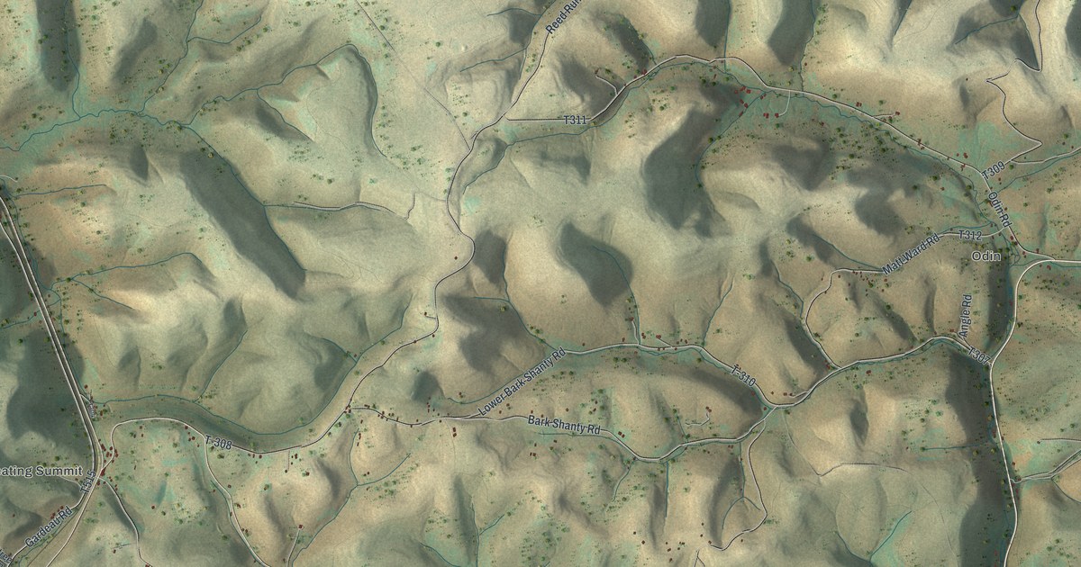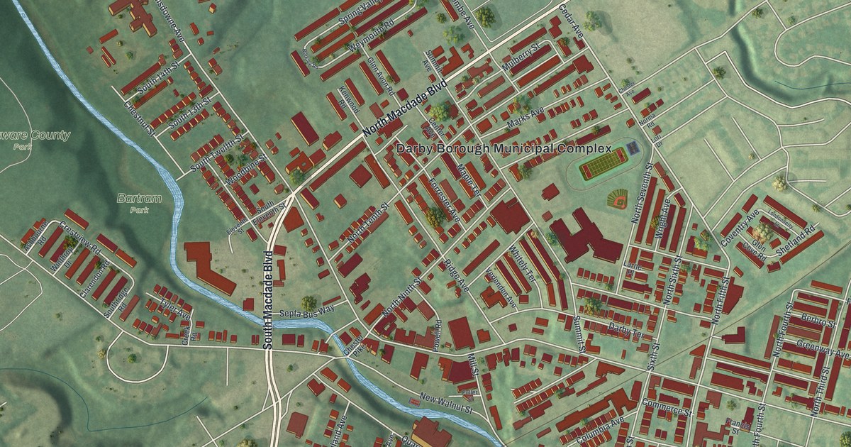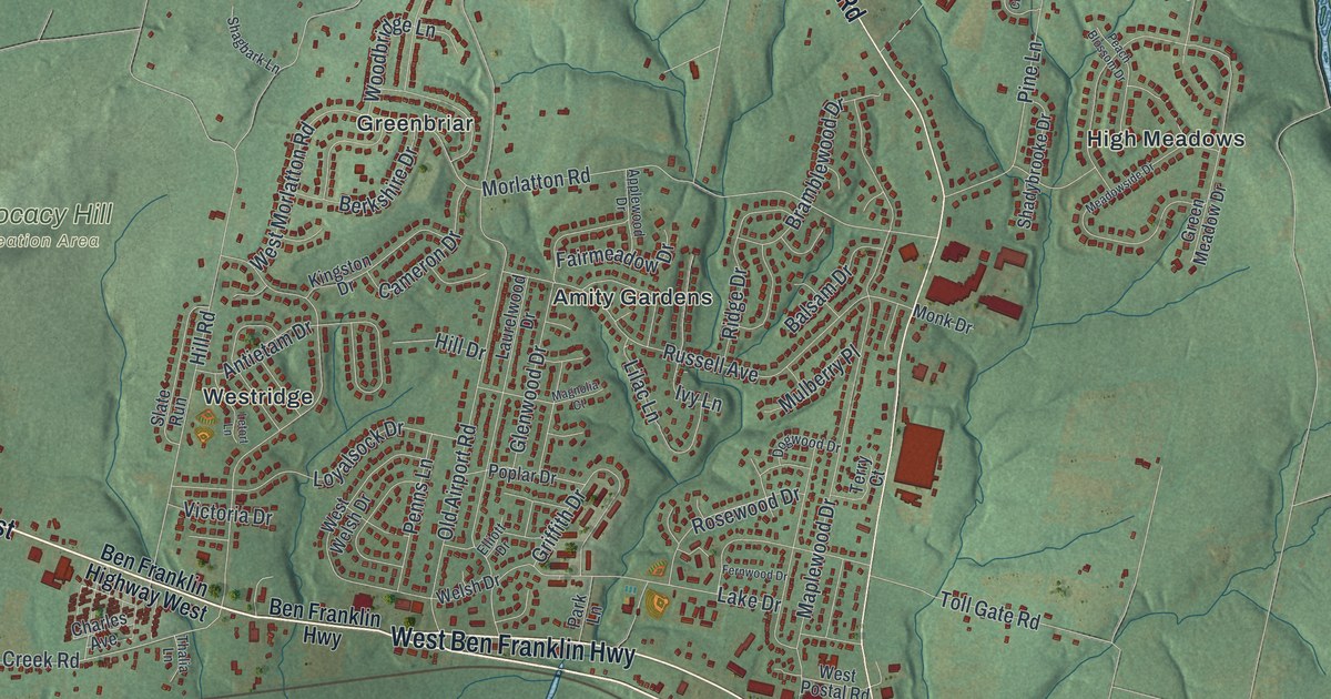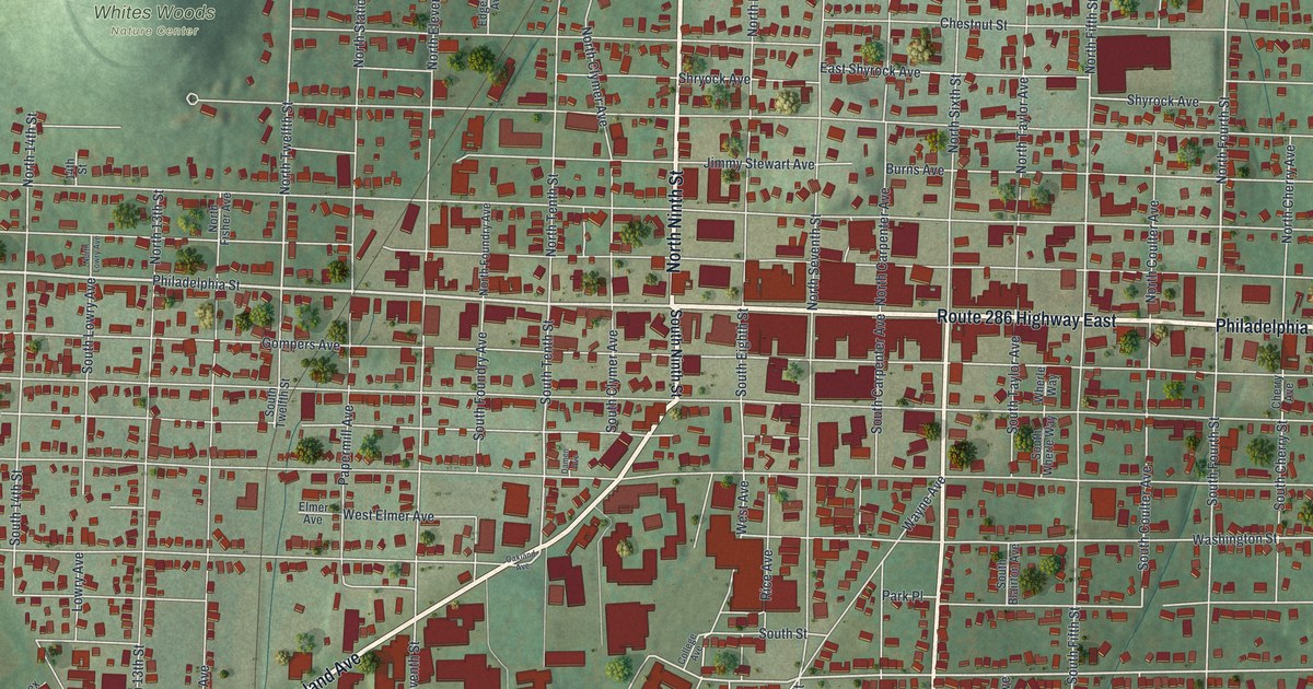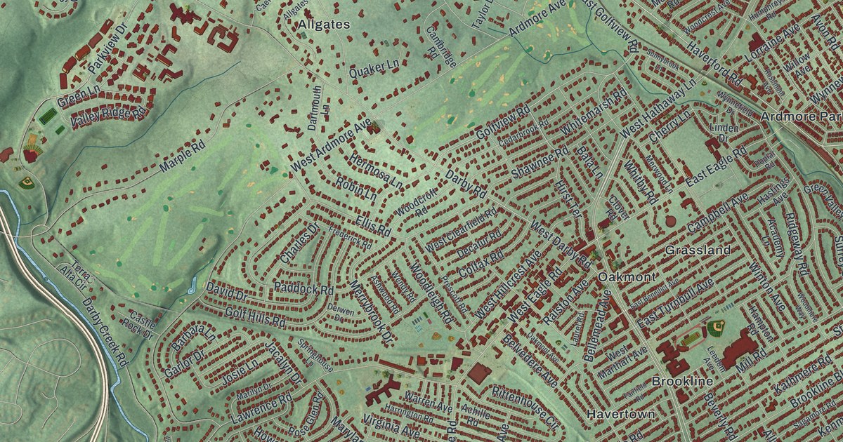
If you grew up in Havertown or Brookline, or still have family near Darby Road, this map gives you a lot to find. It's a modern aerial view of Haverford Township in Delaware County, Pennsylvania, made from modern data with a vintage artistic feel. More than 37,000 buildings are drawn in deep red over soft green shaded hills. West Chester Pike cuts across the middle, and City Avenue runs along the lower right. The names run from Haverford Village and the Polo Field at the top down to Pilgrim Gardens at the bottom.
Darby Road, Haverford Road and Pilgrim Gardens
Start at Llanerch, low on the right side of the sheet. Darby Road leaves Llanerch and heads northwest into the middle of town. Follow it past Oakmont, Havertown and Brookline. Mill Road and Ardmore Avenue both meet it along the way. Keep going past Allgates. Out on the left side, Darby Road meets Sproul Road near Foxcroft.
Now go back to Ardmore Avenue and follow it north to Haverford Road. Haverford Road heads east past Ardmore Park and Bryn Mawr Place. Karakung Drive and Powder Mill Lane branch off it near the right edge. Up top, Haverford Village and the Polo Field are both printed. For the south end, drop down to Burmont Road. It runs through Pilgrim Gardens, and Hilltop Park sits close by. Many roads are labeled, and each red shape is a building, so zoom in on the preview and look for yours.
Joshua Humphrey and the ship Old Ironsides
Haverford Township was one of the first Welsh townships in Pennsylvania. Its first settlers came in the 1680s from near Haverford-West, in South Wales, and brought the name with them. Over time, people shortened it to Harford. Daniel Humphrey came from Wales in 1682 and soon settled here. His grandson, Joshua Humphrey, was born in Haverford Township in 1751. As a boy he went to work for a ship carpenter in Philadelphia. He became the first naval constructor of the United States. He designed the famous ship Constitution, better known as Old Ironsides. The 1884 History of Delaware County, Pennsylvania calls him the father of the American navy.
Joshua spent his last thirty years on family land in Haverford and died here in 1838. His son Samuel learned ship design from him. The same book says the Russian emperor once offered Samuel sixty thousand dollars a year. The offer came with a mansion, a coach, horses and servants. Samuel turned it down. He said his work belonged to his own country. To find the spot, follow Haverford Road toward the right side of the sheet. A state marker stands on it between Hathaway Lane and Woodcrest Avenue. It says Joshua lived in the Pont Reading house, across the road, from 1803 to 1838.
From Haverford Village down to Pilgrim Gardens
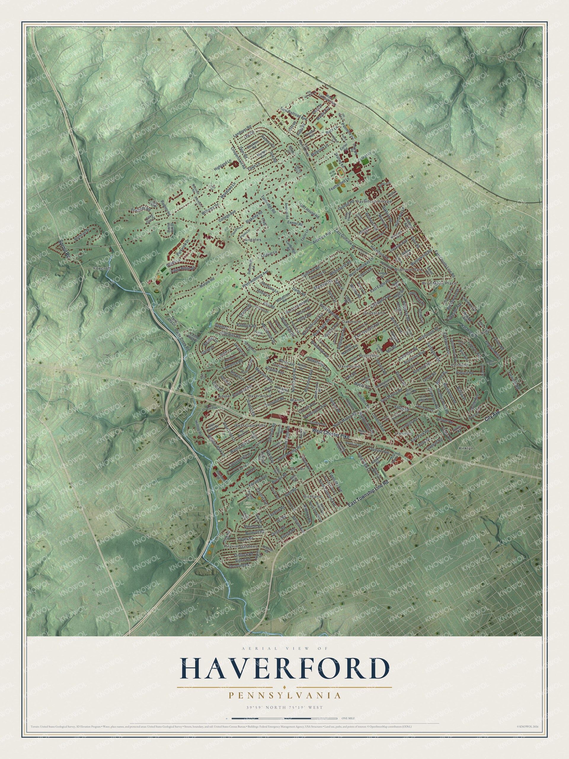
Created by KNOWOL in 2026, this map of Haverford Township shows the hills shaded from USGS elevation data, with the streets and buildings drawn over them in cream and deep red. A blue creek winds down the left side, past Foxcroft. The title panel reads "Aerial View of Haverford, Pennsylvania," with the coordinates 39°59' North, 75°19' West and a one-mile scale bar.
It suits a family room, a home office or a front hall. It's a thoughtful gift for someone who grew up off Brookline Boulevard, or for a family that has lived in Havertown for years and moved away. Open the preview, find Darby Road and follow it to the block you know. See sizes and frames for the Haverford map.