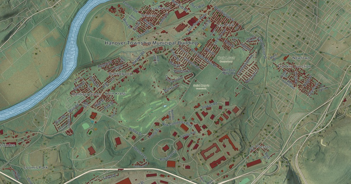
If you grew up in Hanover Township, live off Sans Souci Parkway or still have family in Hanover Green or Askam, this map gives you a lot to find. It's a modern aerial view of Hanover Township in Luzerne County, Pennsylvania, made from modern data and given a vintage look. A wide blue river bends across the top of the sheet. Homes and shops are drawn in red between the river and the long green ridges to the south. Breslau, Lee Park, Korn Krest and Dundee are all printed by name.
From the Hanover Township Municipal Building down Main Road
Start at the Hanover Township Municipal Building, printed near the top of the sheet by the river. Breaker Road runs past it and meets Main Road. Follow Main Road southwest past Buttonwood and Korn Krest to Hanover Green. Sans Souci Parkway runs close beside it. Stay on Sans Souci Parkway heading west and you'll reach Dundee. There, Dundee Cross Road turns south past Loomis Park.
Now go back toward the middle and take Hanover Street south. Front Street leaves it and runs through Askam, with Lower Askam just to the west. Farther down, Tomko Avenue passes Truesdale Terrace and Witinski Villa at the foot of the ridges. Pinchot State Forest is printed in the bottom left corner, and State Game Lands Number 207 sits on the hills in the middle. Back up top, Lee Park Avenue runs through Lee Park, close to Oak Lawn and Saint Mary's cemeteries. Newtown is off to the right, where Wilkes Barre Township Boulevard runs down that side. Franklin Junction sits above the middle of the sheet, near Red Coat Lane. Many of the roads are labeled, and each red shape is a building, so zoom in on the preview and look for yours.
Lazarus Stewart and the first River Road
Hanover Township was one of the first townships laid out by settlers from Connecticut. Its story starts with Capt. Lazarus Stewart. In February 1770, he came up from Lancaster with forty men known as the Paxton Boys. They fought for Connecticut's claim to the valley against the Penns. Early on, they took Fort Durkee and its four-pound cannon. Hanover was then split into lots for Stewart and his men. In the first division, each lot was a long strip of 430 acres, just 42 rods wide. It ran from the Susquehanna River up past the top of Big Mountain. The first roads were the River Road and the Middle Road, says the 1893 History of Luzerne County.
Stewart built his house and a blockhouse on a rise between the river road and the river bank. His family was living there on July 3, 1778. That day he was killed at the head of his company of Hanover men in the Battle of Wyoming. The houses were burned after the battle. Hanover Green already had its name by 1782. Christopher Hurlbut's journal tells of John Jameson being killed there that year, near where a church was later built. On the map, part of Main Road is still printed as River Road. Follow it past Hanover Green, then look at how far the green ridges climb to the south. The first Hanover lots ran from the river all the way over Big Mountain.
For anyone who knows Hanover Green and Sans Souci Parkway
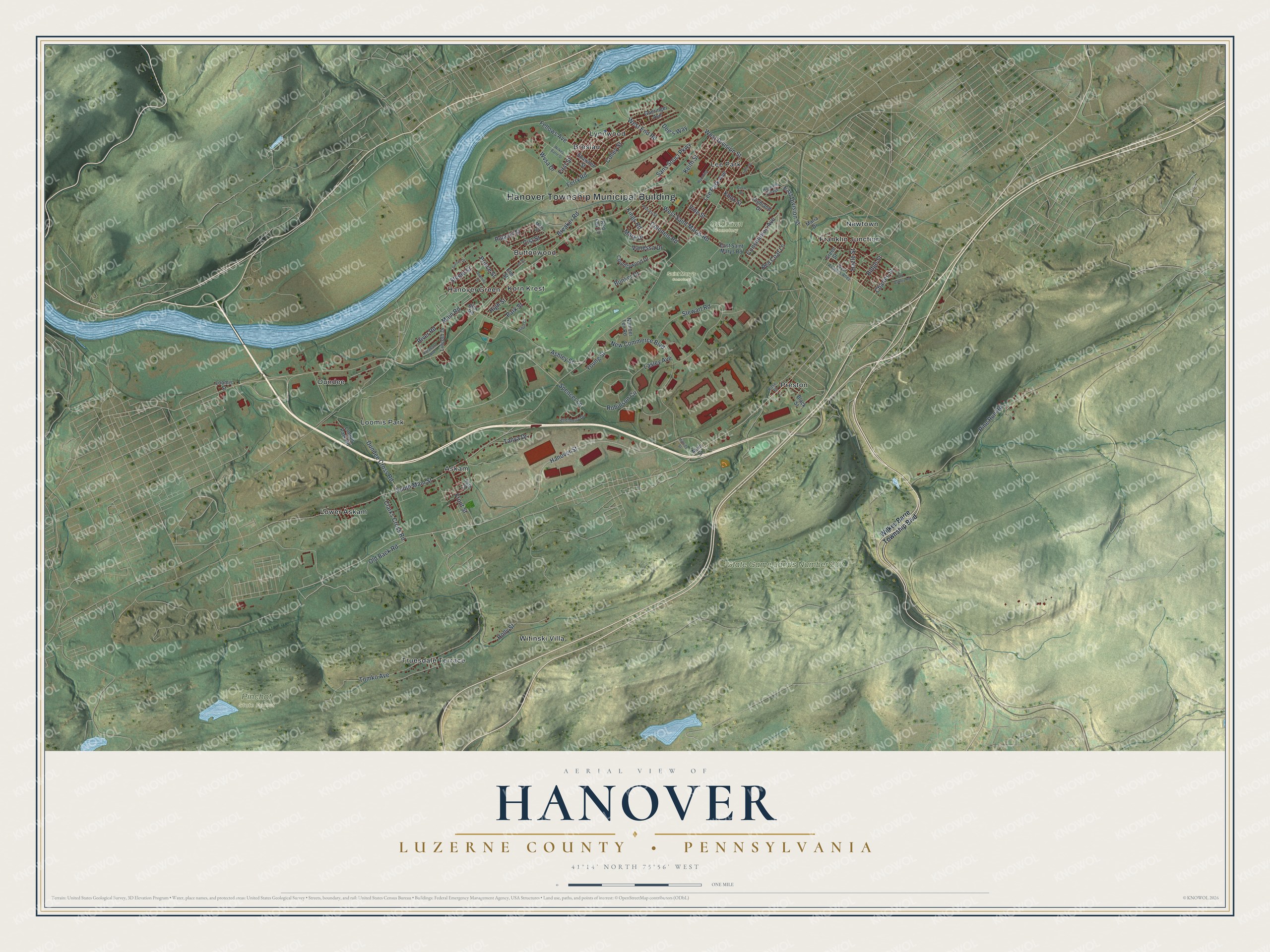
Created by KNOWOL in 2026, this Hanover map shows the township's streets and red buildings set among soft green hills and ridges. The shaded ground comes from USGS elevation data, and the streets from the Census Bureau. The title panel reads "Aerial View of Hanover, Luzerne County, Pennsylvania," with the coordinates 41°14' North, 75°56' West and a one-mile scale bar.
It suits a den, a kitchen wall or a home office. It's a good gift for someone who grew up near Hanover Green, or for family who moved away from the Wyoming Valley. Open the preview, zoom in and find the street you know. See sizes and frames for the Hanover, Luzerne County map.